


Wanderung von St. Peter ins Glottertal
Fotos de nuestros usuarios
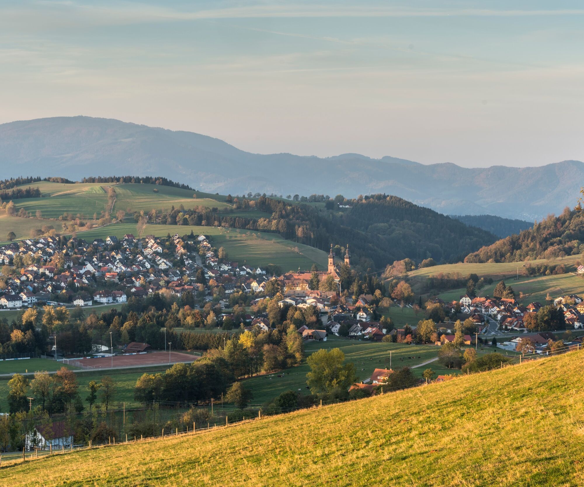
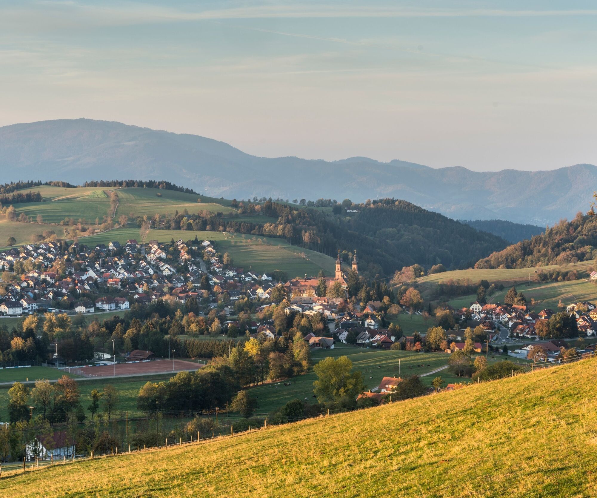
St. Peter -en el corazón de una región de senderismo de impresionante belleza que se extiende desde Breisgau hasta la Alta Selva Negra- se encuentra en una meseta elevada entre Thurner y Kandel, atravesada...
St. Peter -en el corazón de una región de senderismo de impresionante belleza que se extiende desde Breisgau hasta la Alta Selva Negra- se encuentra en una meseta elevada entre Thurner y Kandel, atravesada por las cabeceras de los ríos Glotter, Eschbach e Ibenbach. El paisaje de San Pedro y sus alrededores se caracteriza por la pintoresca alternancia de bosques y praderas y es ideal para dar largos paseos. Gracias a sus magníficas vistas panorámicas, St. Peter es uno de los destinos de senderismo y recreo más populares para todas las edades.


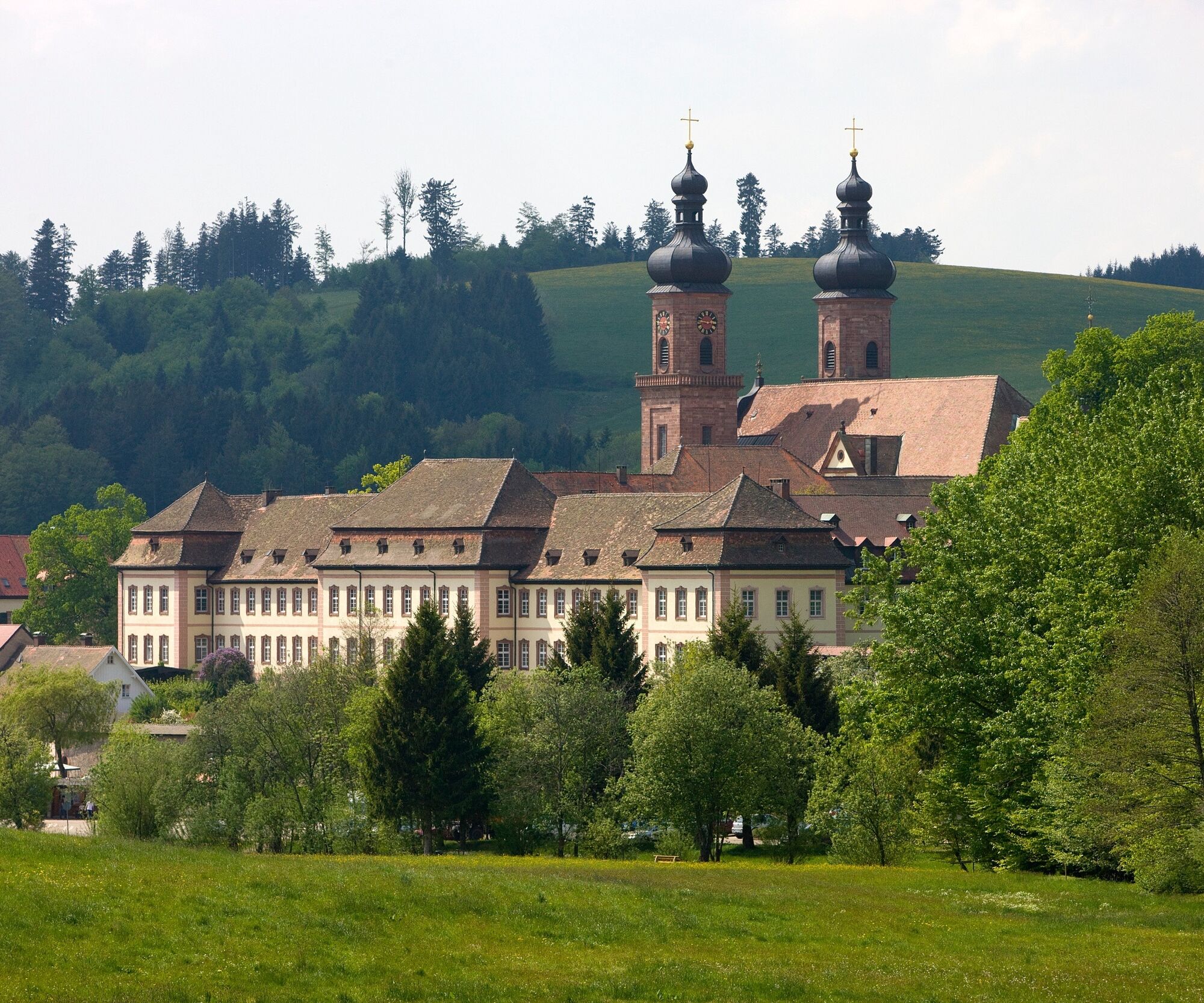

From “Zähringer Eck”, we follow Zähringer Straße to Bertoldsplatz. We keep to the right and pass through the archway past the tourist information office into the monastery courtyard, where we can treat ourselves to a detour into the magnificent baroque “Peter & Paul” church.
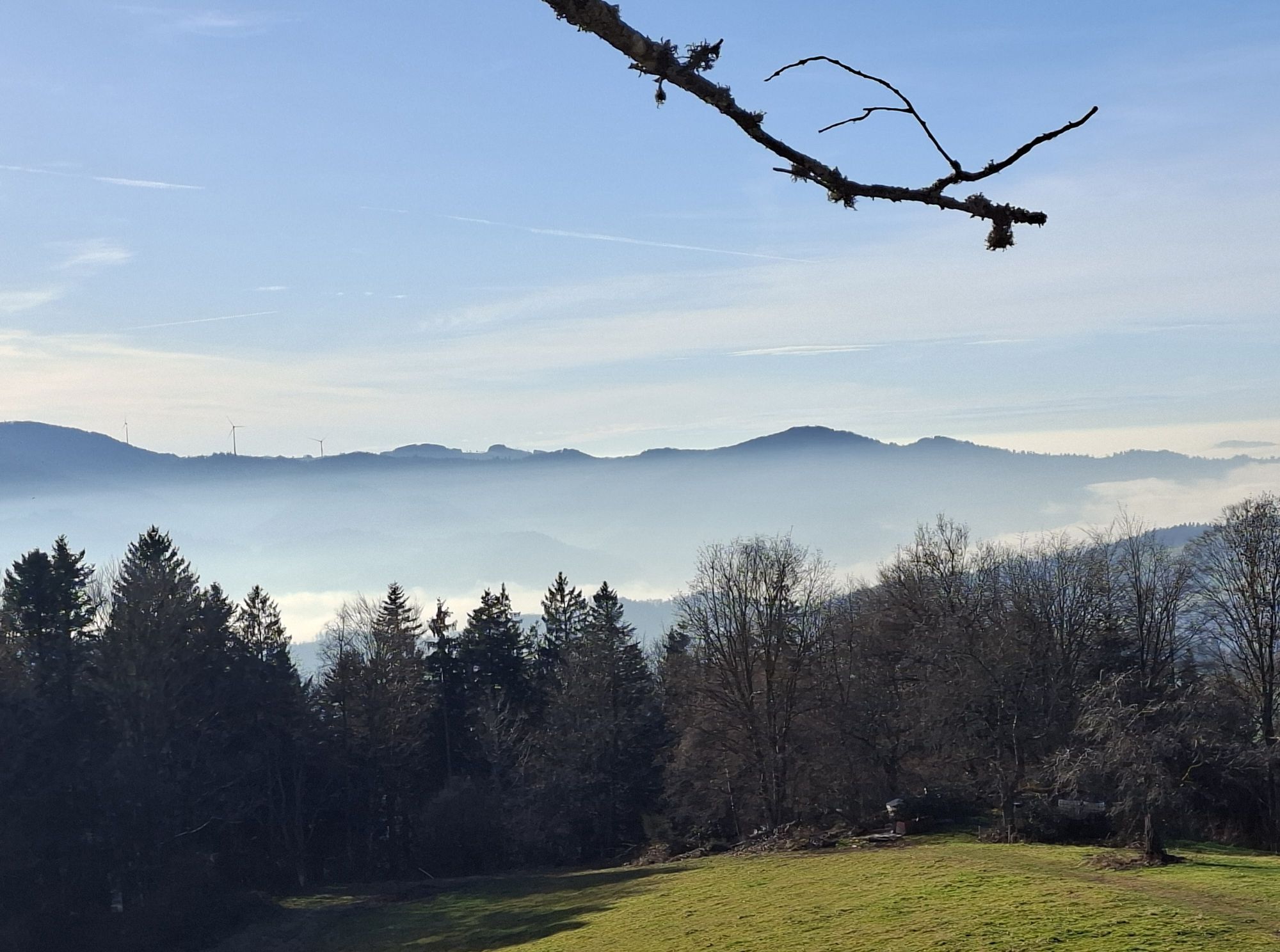
We leave the monastery courtyard and cross the Mühlegraben. Below the cemetery, we cross Glottertalstraße to Gasthaus Kreuz and up Scheuergasse to the first crossroads. Here we turn left along Wolfweg to Sauwasen. Following a small tarred road, we pass a forest-free stretch above the Hornhof with very beautiful views of a series of Black Forest heights from the Feldberg to the Schauinsland. The trail continues to Langeck, the watershed between the Eschbach and Glotter valleys. From there, a turn-off on the mountain side takes you to Lindlehöhe, a resting place with a wonderful panorama, from where a fairly steep path leads to Lindlehof.
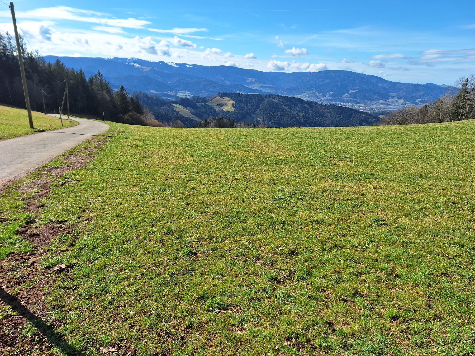
The path now leads through the forest to Wuspeneck. Here we leave the ridge in the direction of Wuspenhof and now follow one of the hiking trails above the valley road to the Glottertal winegrowers' cooperative.
Sí
We recommend good shoes
From Freiburg:
B31 to Kirchzarten, from Kirchzarten via Stegen/Eschbach to St. Peter.
From Donaueschingen:
Via Urachtal onto the B500 towards Thurner; from Thurner via St. Märgen to St. Peter
From Lörrach:
A5 direction Freiburg, exit Freiburg-Nord via Glottertal to St. Peter
From Freiburg:
Take the S1 to Kirchzarten, then the 7216 bus in the direction of St. Peter, get off at Zähringer Eck.
From Donaueschingen:
Take the S10 to Neustadt, change to the 7261 bus in the direction of St. Peter, get off at Zähringer Eck.
From Lörrach:
By train SBB87853 from Lörrach to Basel Bad BF, change to ICE 100 to Freiburg, S11 direction Neustadt, get off at Kirchzarten. Bus 7216 from Kirchzarten in the direction of St. Märgen, get off at Zähringer Eck.
Roßweiher parking lot in the center of St. Peter
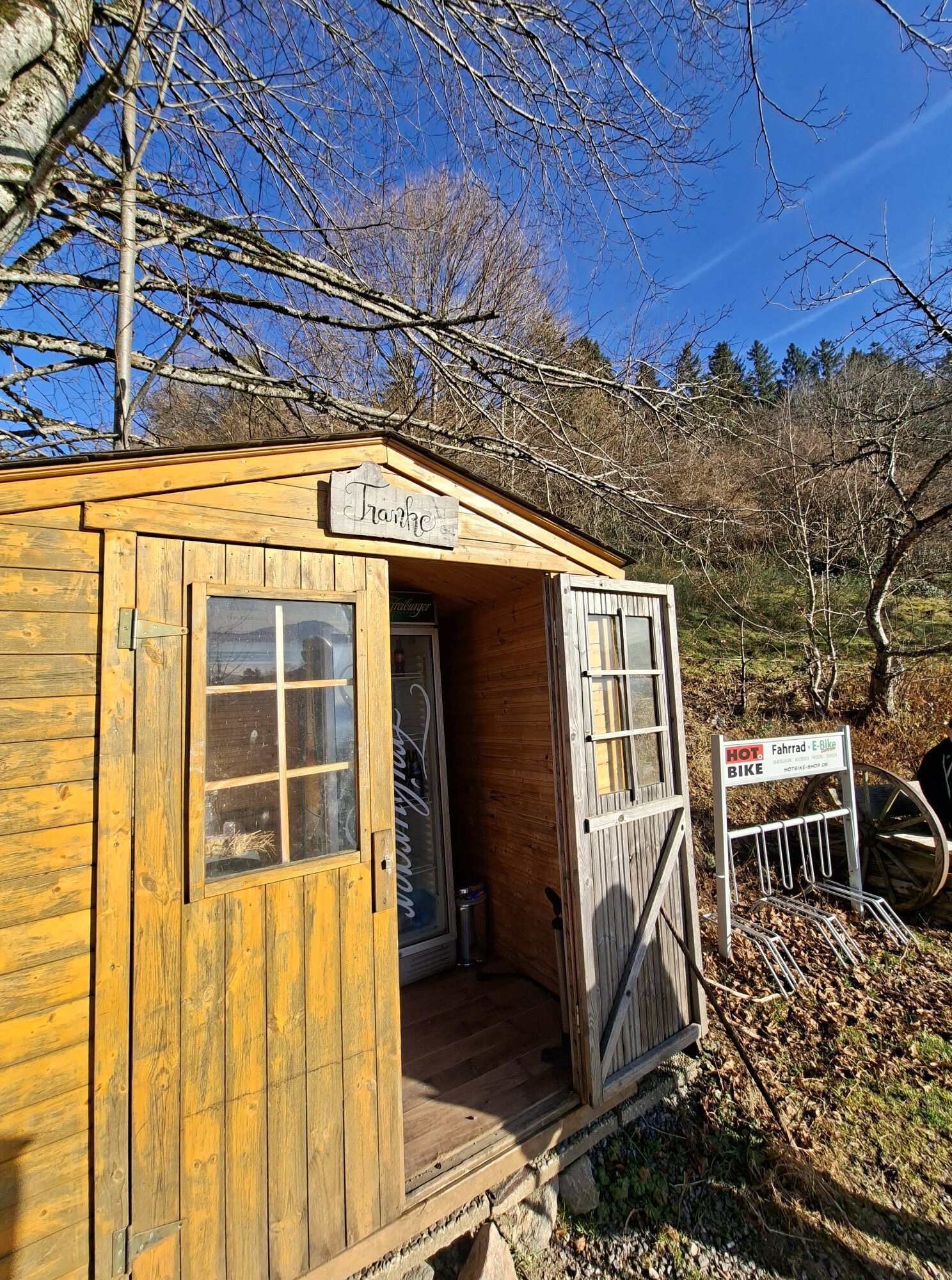
Winzergenossenschaft Glottertal Tel.: 07684-91091 www.wg-glottertal.de
A must on this hike is a tasting of one of the fine wines from the Glottertal winegrowers' cooperative.
The Wuspenhof invites you to enjoy a delicious bacon snack with cider at the weekend.
Rutas populares en los alrededores
-
4,3
Durch den mystischen Bannwald zum Zweribach-Wasserfall
medioSenderismo 12,3 km -
5,0
Alte Kapellen und Kirchen in der Ravennaschlucht
medioCamino de peregrinación 15,7 km -
4,0
Ravennaschlucht
Senderismo 6,90 km -
3,0
Panoramarundweg Thurner
medioSenderismo 11,8 km -
5,0
Rund um den Kandelgipfel mit tollen Ausblicken
medioSenderismo 7,46 km -
Ausflug zu den Zweribachwasserfällen
medioSenderismo 4,98 km -
Panoramaweg von St. Märgen nach St. Peter - Unterwegs auf dem Jakobsweg
medioSenderismo 8,63 km -
5,0
Potsdamer Platz - Hirschbachfälle- Zweribachfälle - Plattenhof
medioSenderismo 9,34 km -
4,5
Rund um Alpersbach
luzSenderismo 5,89 km -
Von St. Peter über den Sägendobel auf den Kandel
pesadoSenderismo 12,9 km

Senderismo y rastreo


No se pierda las ofertas y la inspiración para sus próximas vacaciones
Su dirección de correo electrónico se ha añadido a la lista de correo.