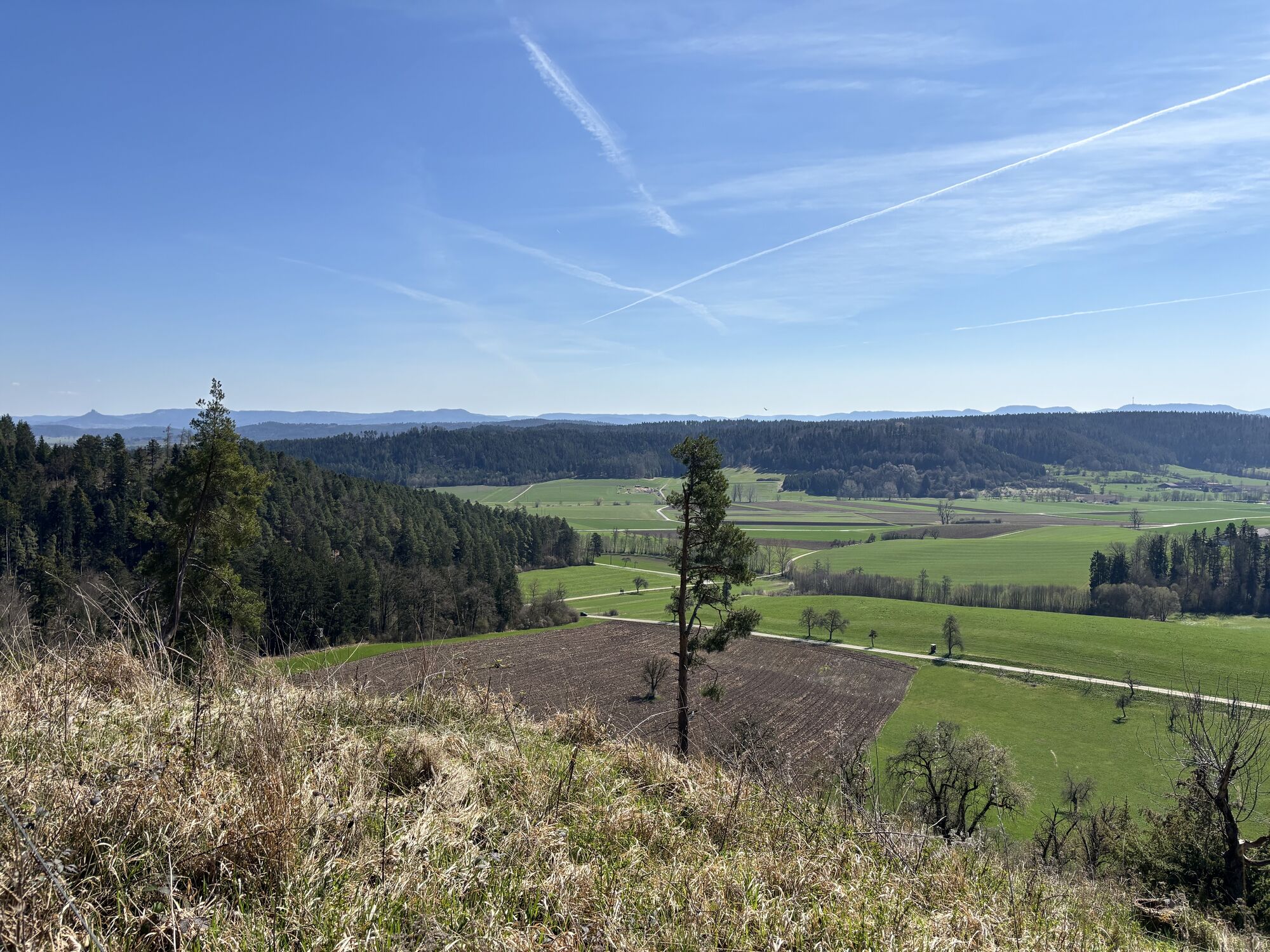
Haigerloch - Unterstadtkirche - Pfarrkirche St. Clemens
pesado
Navegue por
Navegue por
Consigue este tour en tu móvil
Haigerloch - Unterstadtkirche - Pfarrkirche St. Clemens
pesado
Ciclismo
24,52
km
Escanee el código QR e inicie la navegación en la aplicación bergfex

Senderismo y rastreo


Haigerloch - Unterstadtkirche - Pfarrkirche St. Clemens
pesado
Distancia
24,52
km
Duración
02:02
h
Ascenso
500
m
Nivel del mar
422 -
595
m
Descarga de pistas
Haigerloch - Unterstadtkirche - Pfarrkirche St. Clemens
pesado
Ciclismo
24,52
km
Ruta
Haigerloch
(425 m)
Estación de ferrocarril
0,0 km
Haigerloch
(504 m)
Ciudad
0,3 km
Unterstadtkirche
(425 m)
Lugar de culto
0,5 km
Pfarrkirche St. Clemens
(467 m)
Lugar de culto
7,3 km
Bernstein
(518 m)
Liquidación
12,4 km
Tannenburg
(524 m)
Liquidación
20,3 km
Haigerloch
(504 m)
Ciudad
23,5 km
Ruta
Haigerloch - Unterstadtkirche - Pfarrkirche St. Clemens
pesado
Ciclismo
24,52
km
Haigerloch
(425 m)
Estación de ferrocarril
0,0 km
Haigerloch
(504 m)
Ciudad
0,3 km
Unterstadtkirche
(425 m)
Lugar de culto
0,5 km
Hospach
(463 m)
Liquidación
5,0 km
Pfarrkirche St. Clemens
(467 m)
Lugar de culto
7,3 km
Gruol
(470 m)
Barrio
7,4 km
Bernstein
(518 m)
Liquidación
12,4 km
Kloster Kirchberg
(577 m)
Liquidación
14,5 km
Tannenburg
(524 m)
Liquidación
20,3 km
Weildorf
(511 m)
Pueblo
21,6 km
Haigerloch
(504 m)
Ciudad
23,5 km
Haigerloch
(425 m)
Estación de ferrocarril
24,5 km
Autor
Proporcionado por Bergfex Tour Generator
Compartir gira
Haigerloch - Unterstadtkirche - Pfarrkirche St. Clemens
pesado
Ciclismo
24,52
km
Error
Se ha producido un error. Por favor, inténtelo de nuevo.
Aún no hay opiniones
Rutas populares en los alrededores
-
5,0
Mildersbachtal-Rundweg in Balingen-Ostdorf
medioSenderismo 9,85 km -
Paradiestour Kloster Kirchberg
luzSenderismo 7,88 km -
Osterweg um den Schiefersee
luzSendero temático 0,54 km -
Schiefer-Tour - Radtour durchs Obere Schlichemtal
luzCiclismo 17,3 km -
Schlichemwanderweg - von Meßstetten-Tieringen nach Epfendorf
medioSendero de largo recorrido 34,5 km -
Römer-Tour in Hechingen
luzSenderismo 5,80 km -
Rundweg Dautmergen
luzSenderismo 5,96 km -
Rosen-Tour - Radtour zwischen Blütenpracht und historischen Orten
medioCiclismo 43,6 km -
Im Reich des Schopflenweibles in Geislingen
luzSenderismo 5,99 km -
Rundweg Starzeltal in Rangendingen
luzSenderismo 11,0 km
Senderismo y rastreo

Más de 550.000 sugerencias de excursiones, mapas detallados y un intuitivo planificador de rutas hacen de esta aplicación una herramienta imprescindible para todos los amantes de la naturaleza.

No se pierda las ofertas y la inspiración para sus próximas vacaciones
Suscribirse al boletín de noticias
Error
Se ha producido un error. Por favor, inténtelo de nuevo.
Gracias por inscribirse
Su dirección de correo electrónico se ha añadido a la lista de correo.
Viajes por Europa
Austria
Suiza
Alemania
Italia
Eslovenia
Francia
Países Bajos
Belgium
Polonia
Liechtenstein
República Checa
Slovakia
España
Croacia
Bosnia y Herzegovina
Luxemburgo
Andorra
Portugal
Iceland
United Kingdom
Ireland
Greece
Albania
North Macedonia
Malta
Norway
Montenegro
Moldova
Kosovo
Hungary
San Marino
Romania
Estonia
Latvia
Belarus
Cyprus
Lithuania
Serbia
Bulgaria
Monaco
Denmark
Sweden
Finland