


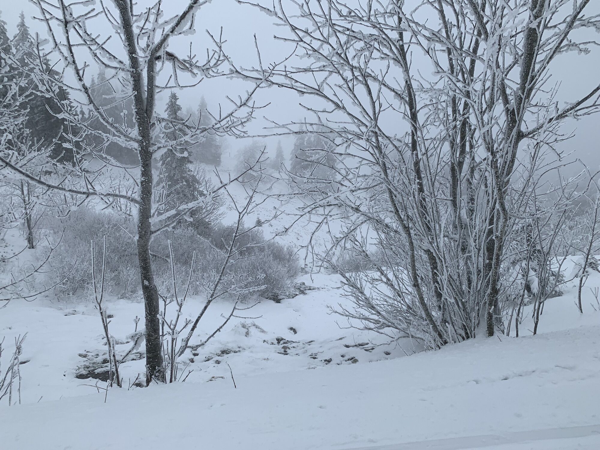
Feldberger Rundtour


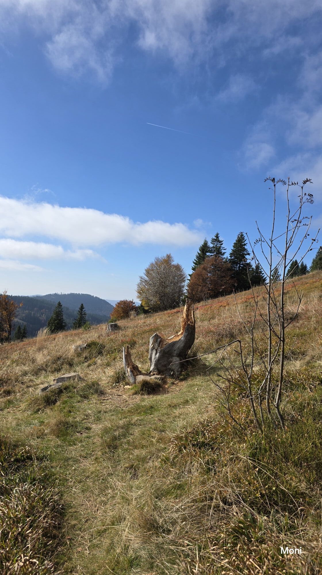

Esta excursión en bicicleta de montaña le llevará primero a través de Falkau por la cresta sobre el lago Titisee hasta Saig, antes de regresar por la orilla del lago hacia Bärental.
Desde allí, la ruta...
Esta excursión en bicicleta de montaña le llevará primero a través de Falkau por la cresta sobre el lago Titisee hasta Saig, antes de regresar por la orilla del lago hacia Bärental.
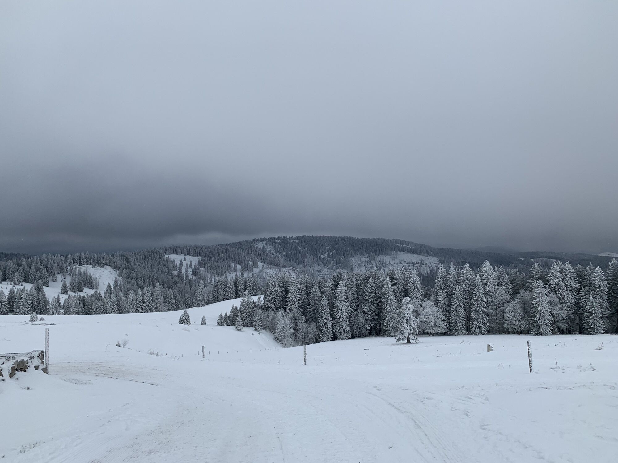
Desde allí, la ruta se dirige hacia Raimartihof, mientras las vistas del macizo del Feldberg se abren una y otra vez, revelando que aún le esperan algunos metros más de altitud.
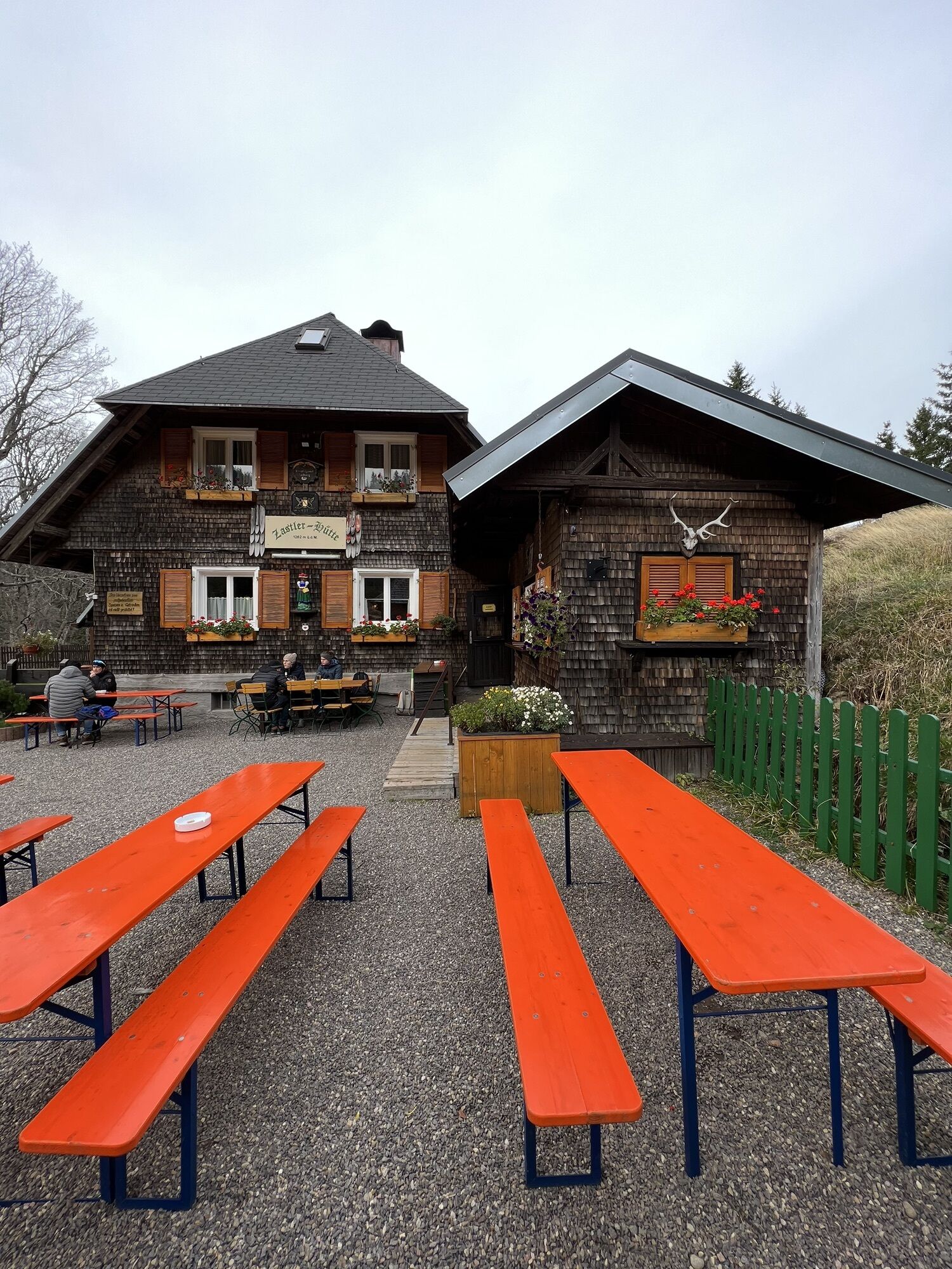
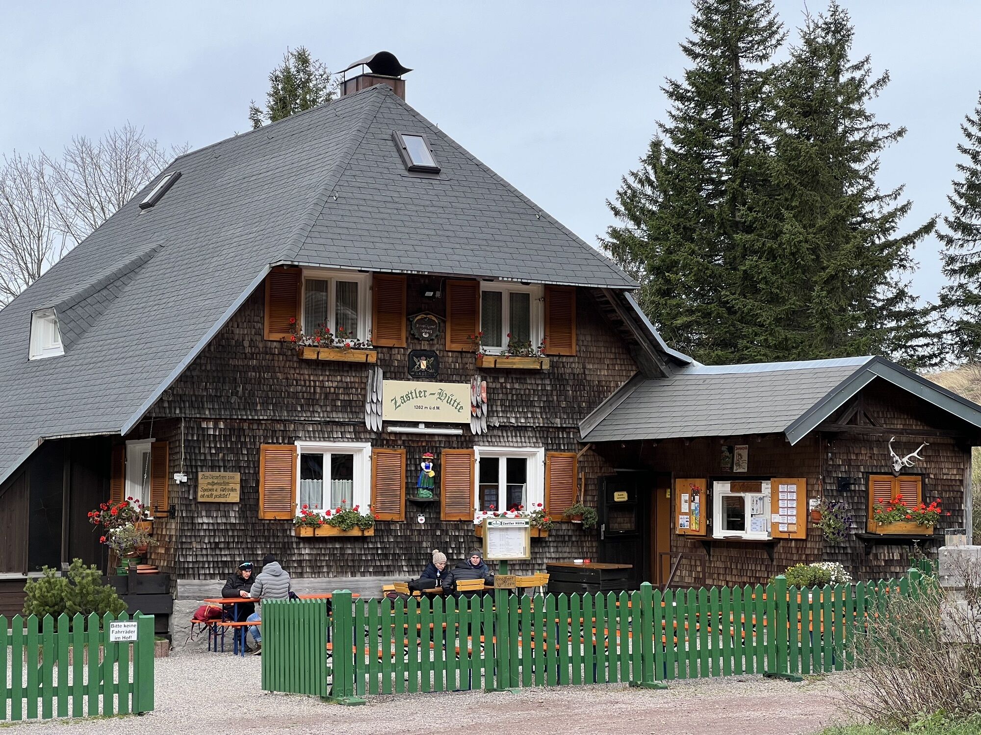
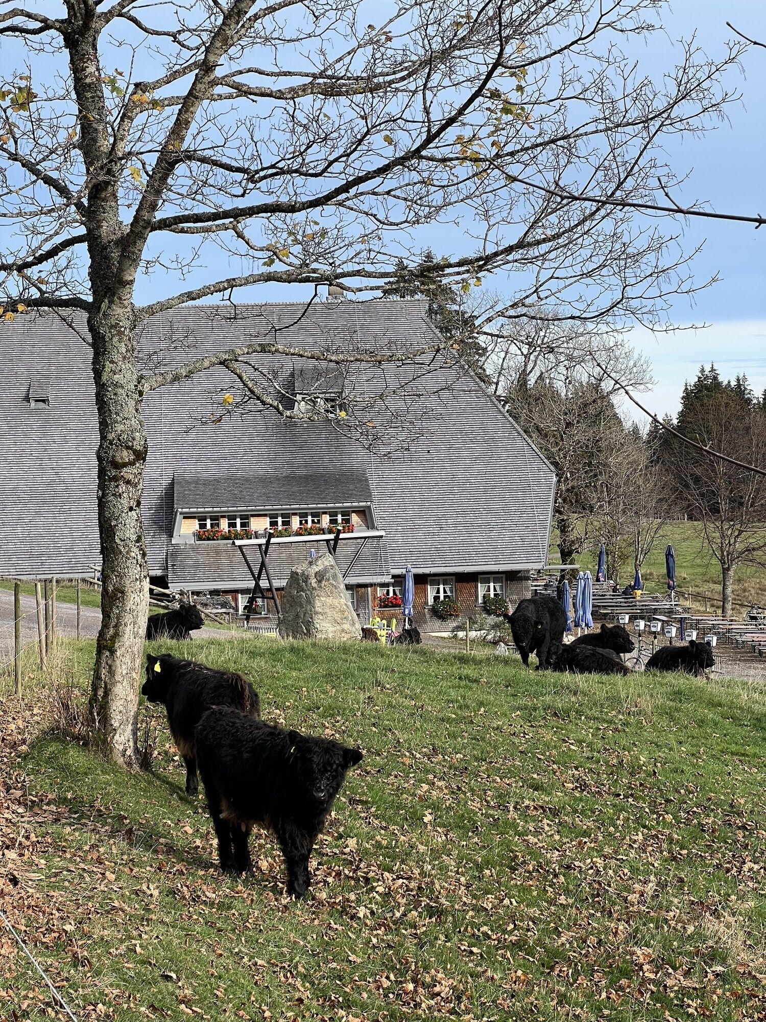
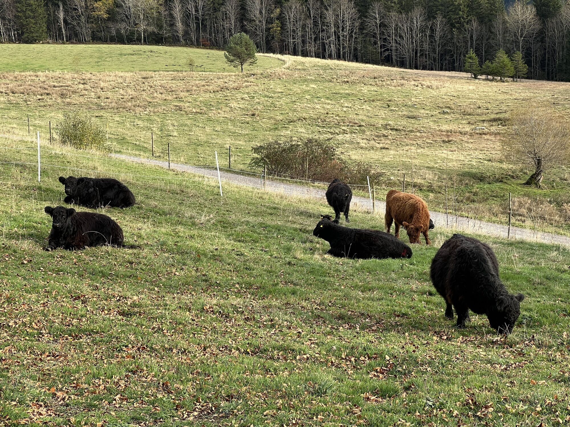
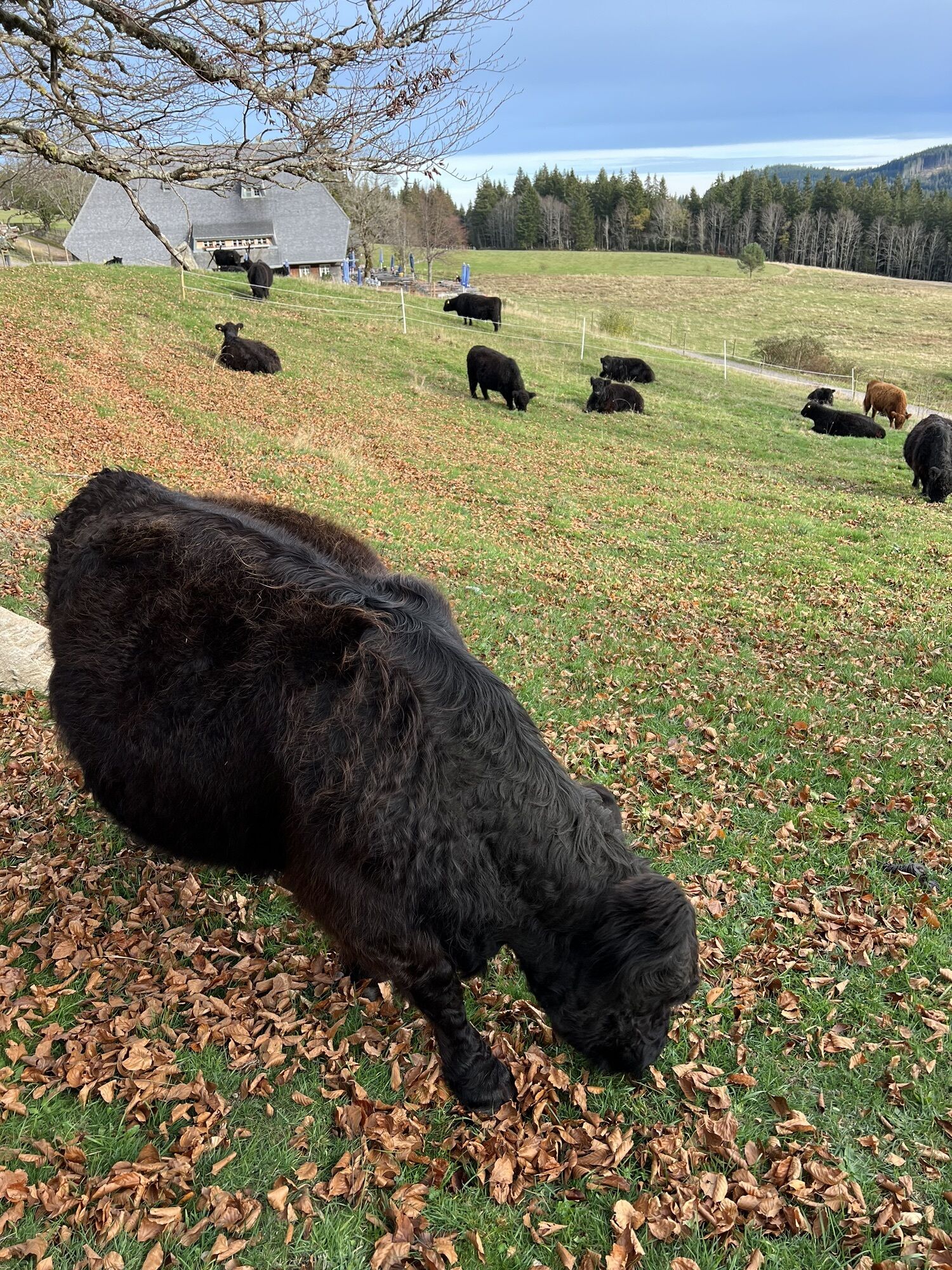
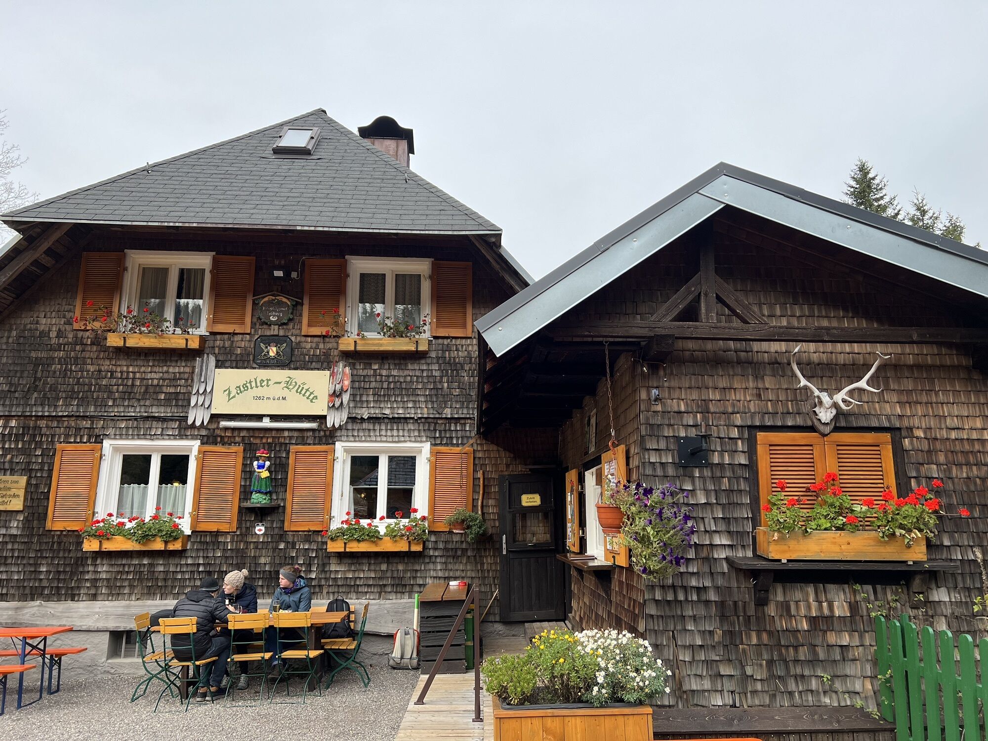
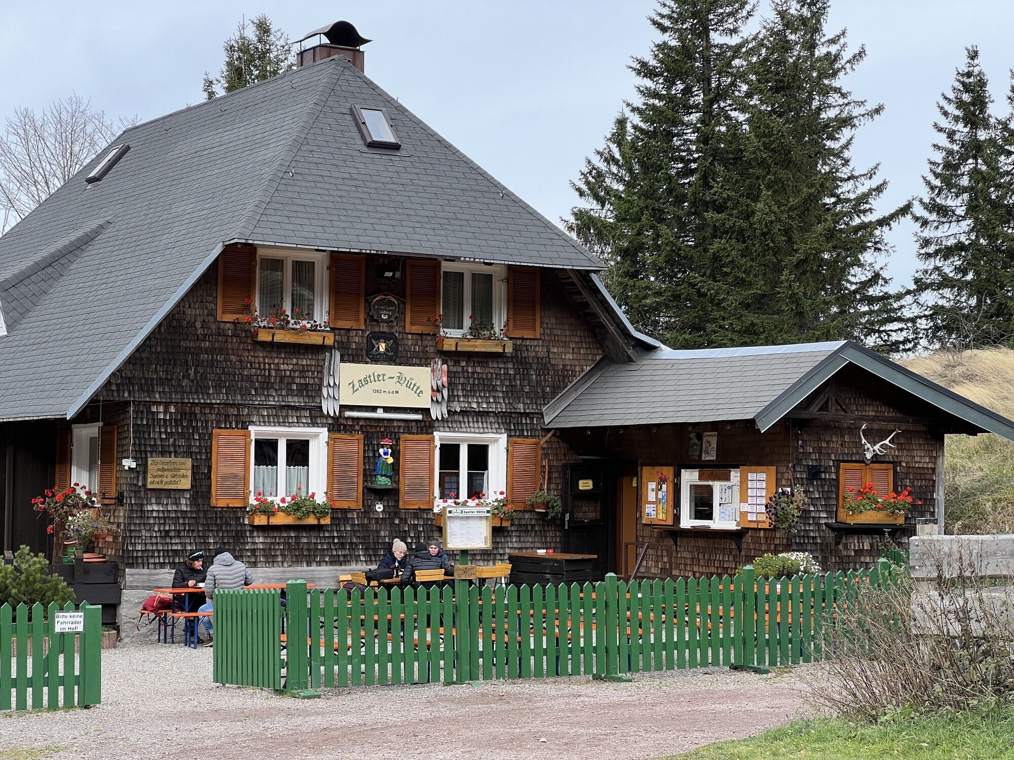
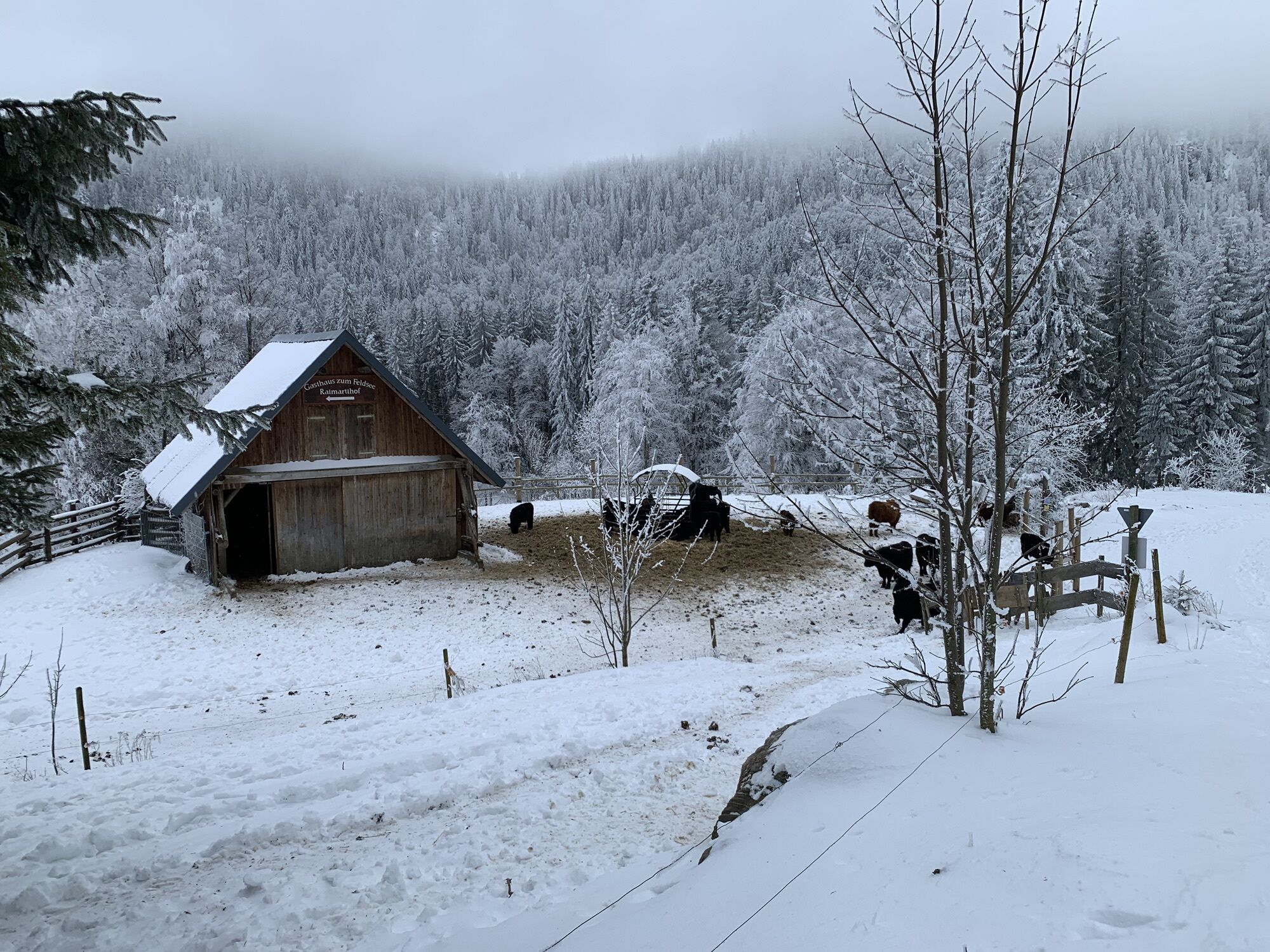
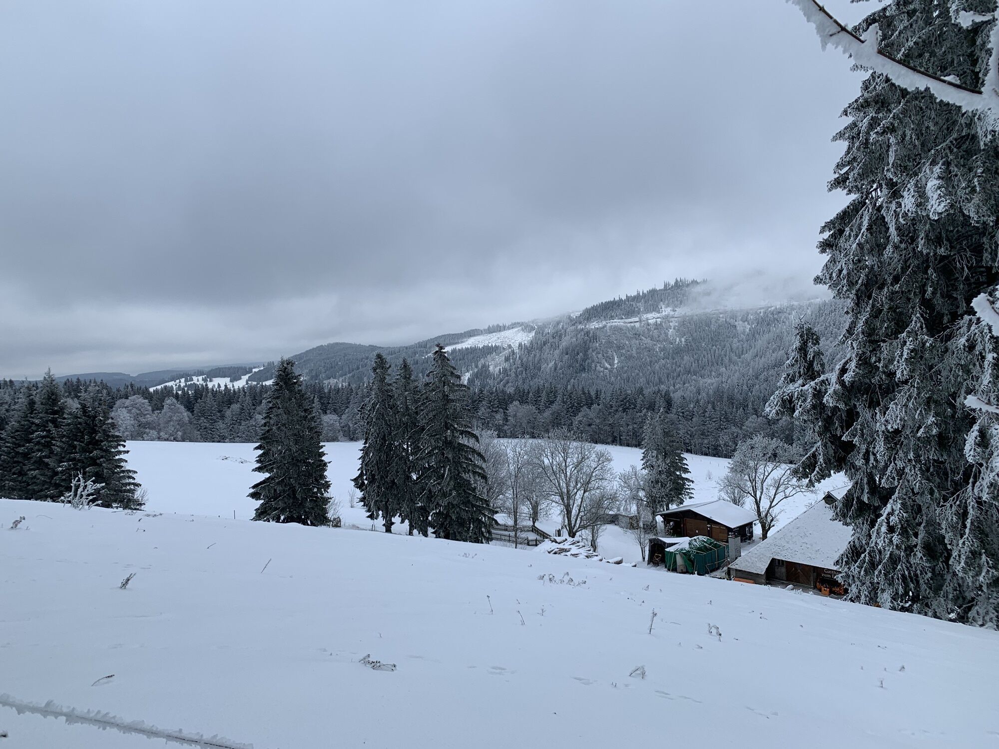
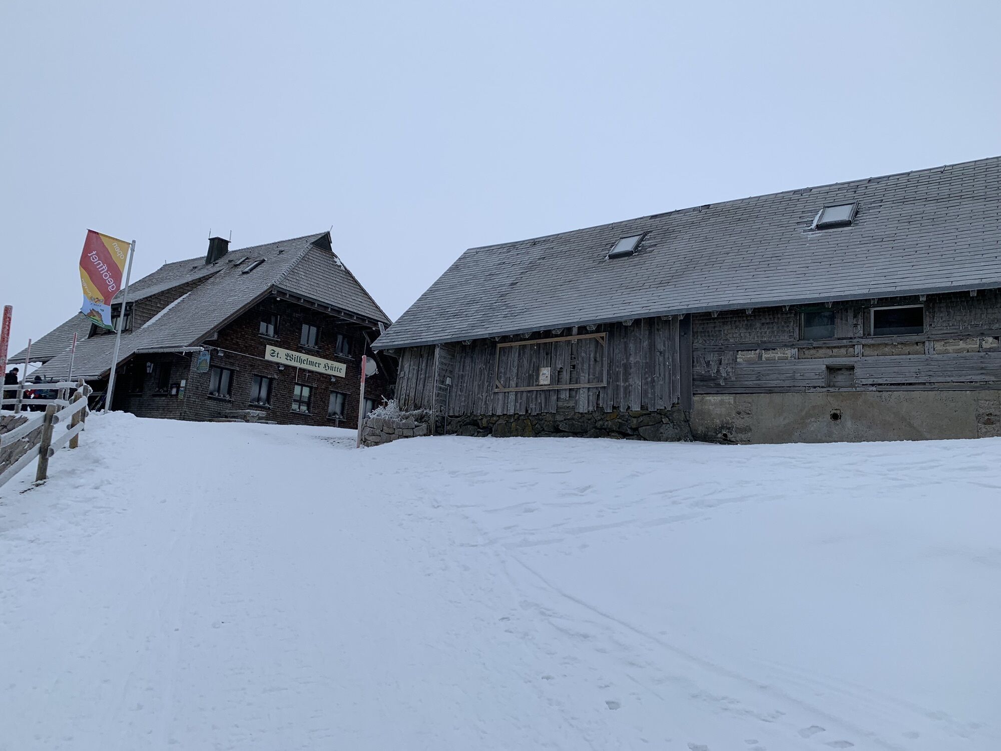
A partir de ahí, podrás decidir en cuál de los próximos refugios parar en función de tu instinto y tus necesidades: Raimartihof, Zastler Hütte, St. Wilhelmer Hütte y Todtnauer Hütte le dejarán mucho donde elegir.
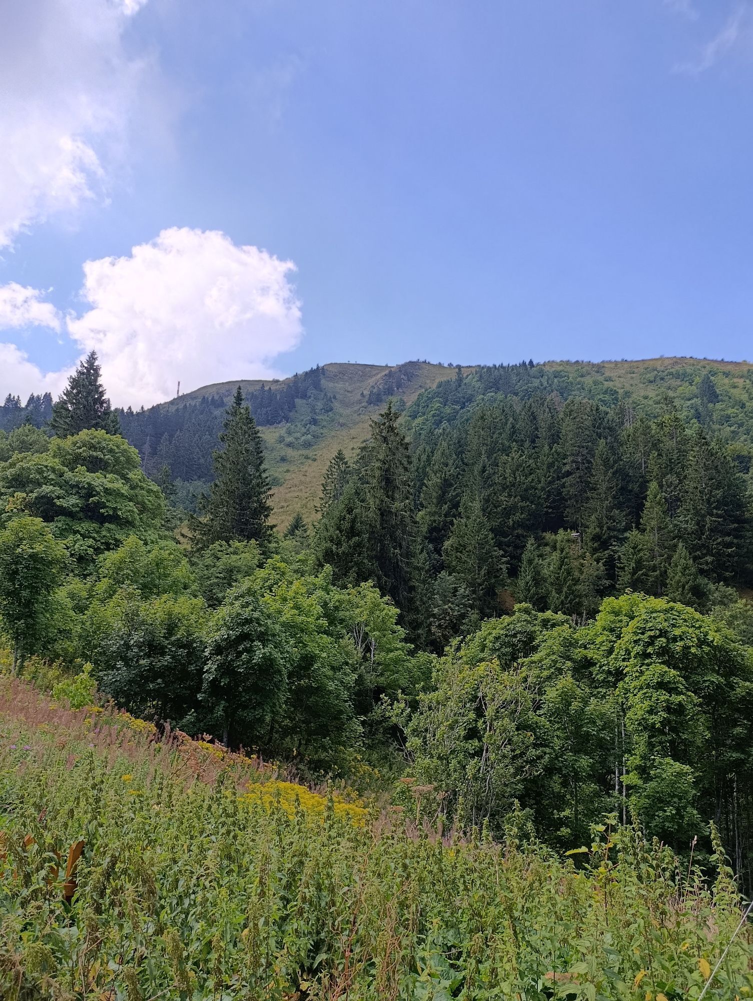
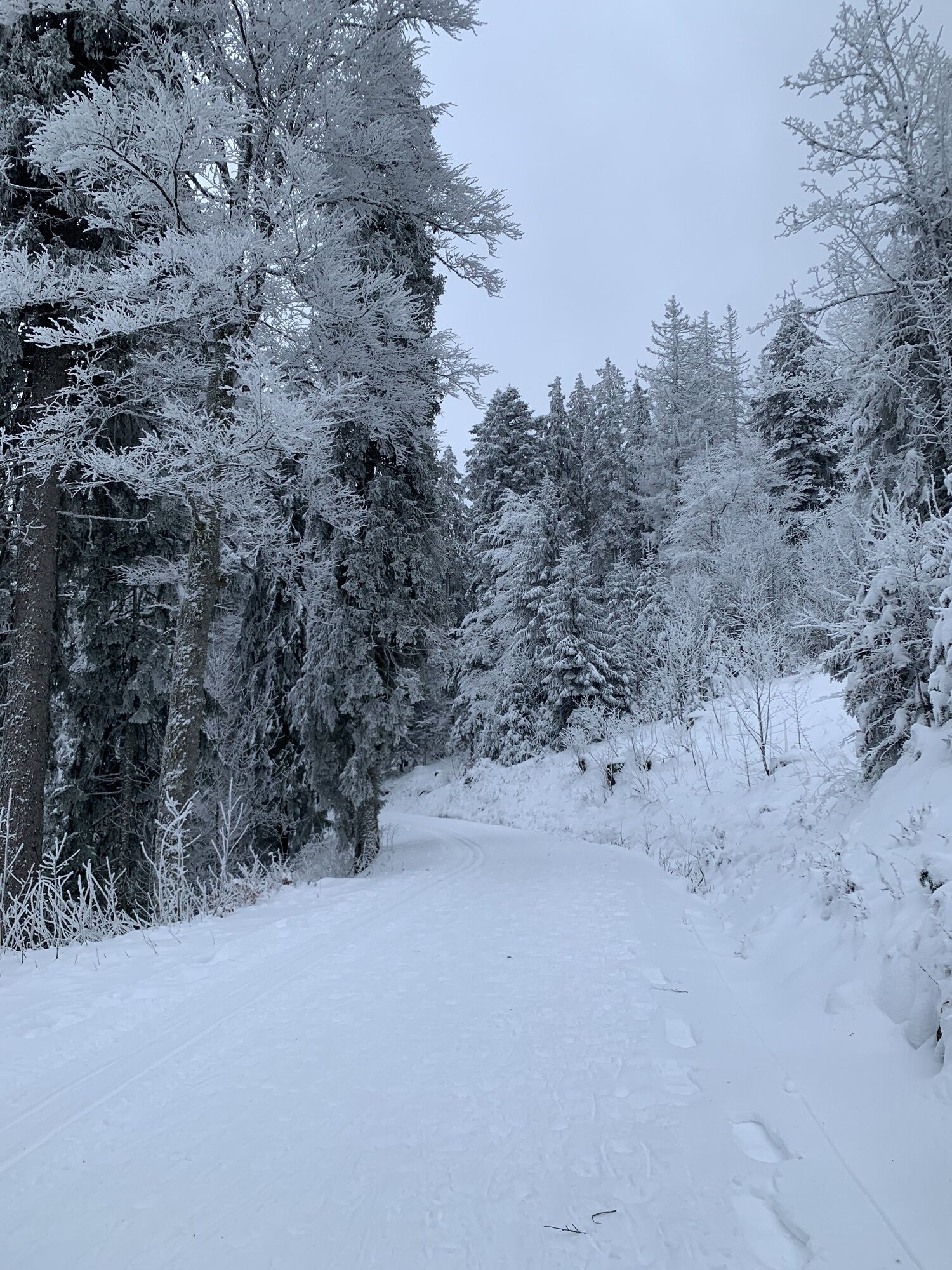
El resto de la excursión es una mera formalidad. Pasado el Caritashaus, la ruta desciende por el Farnwitte hasta Alt- y Neuglashütten.

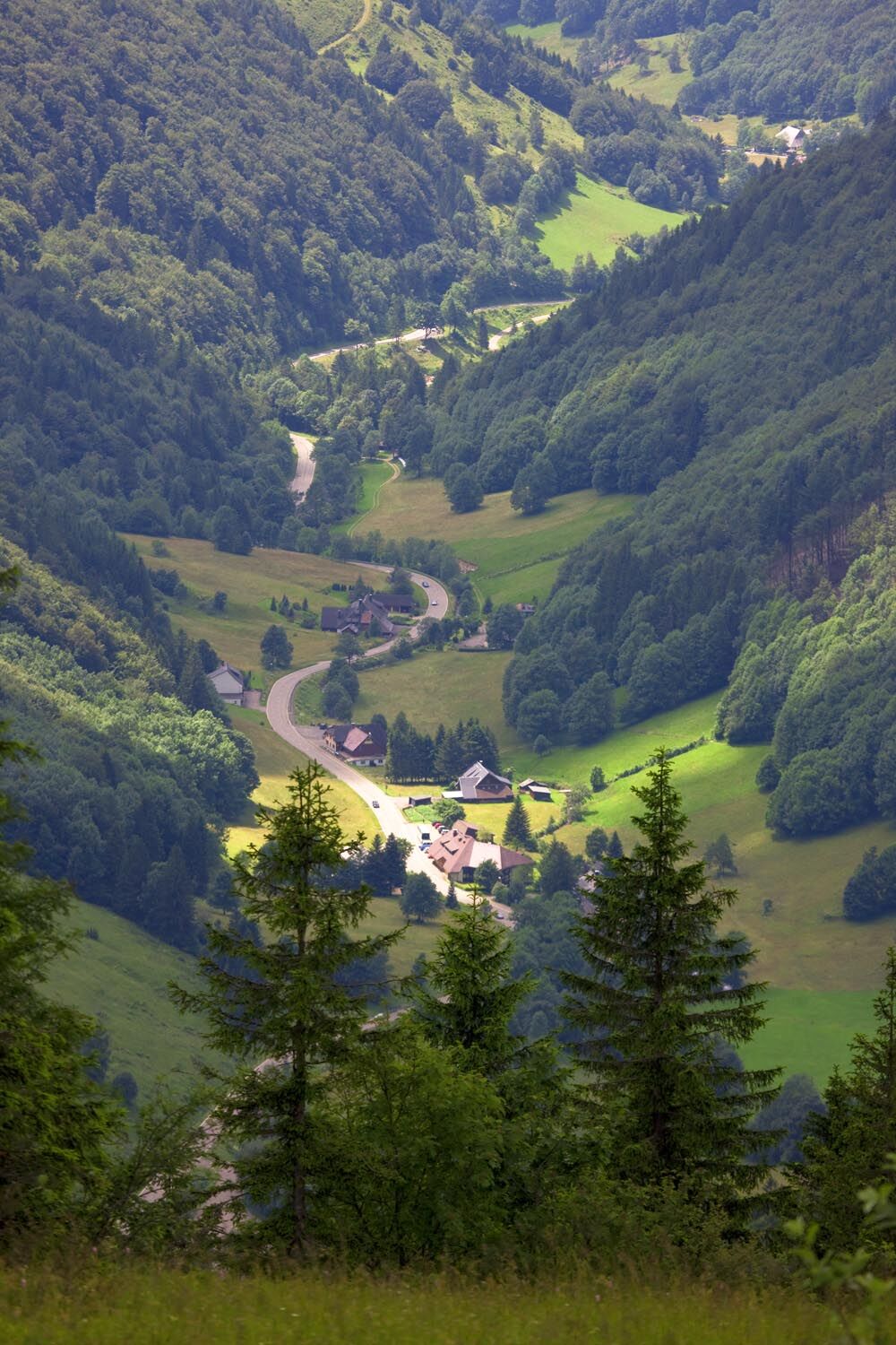
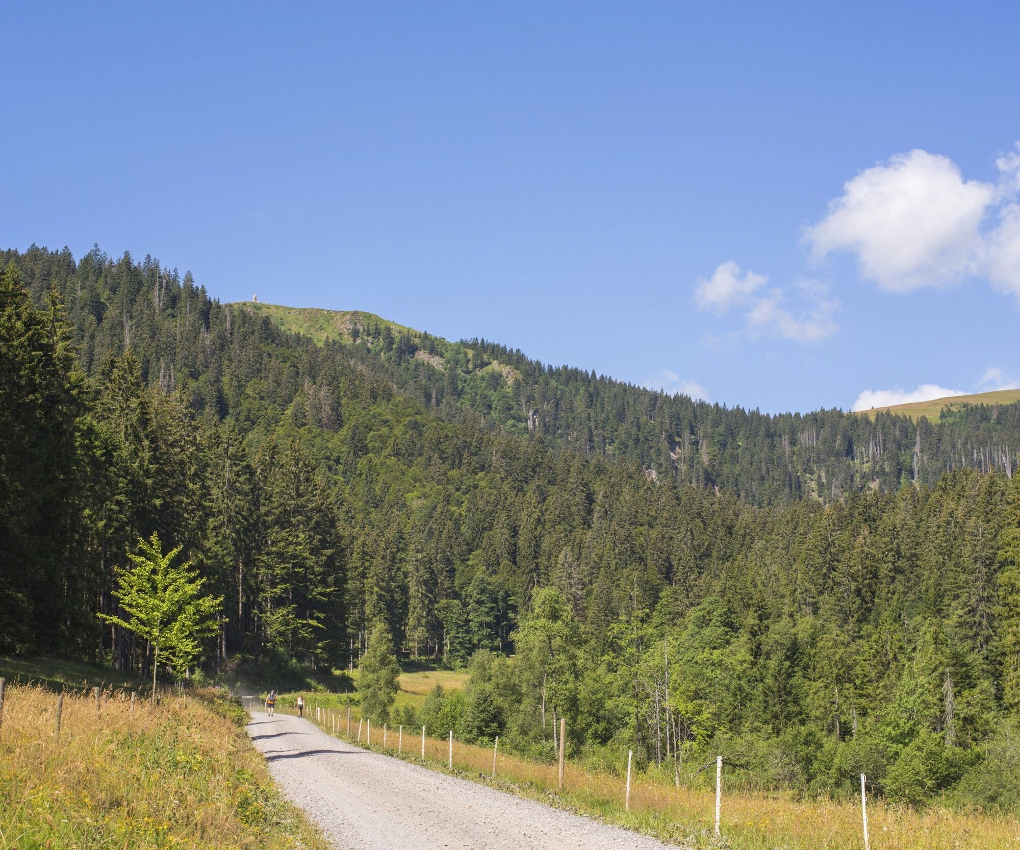
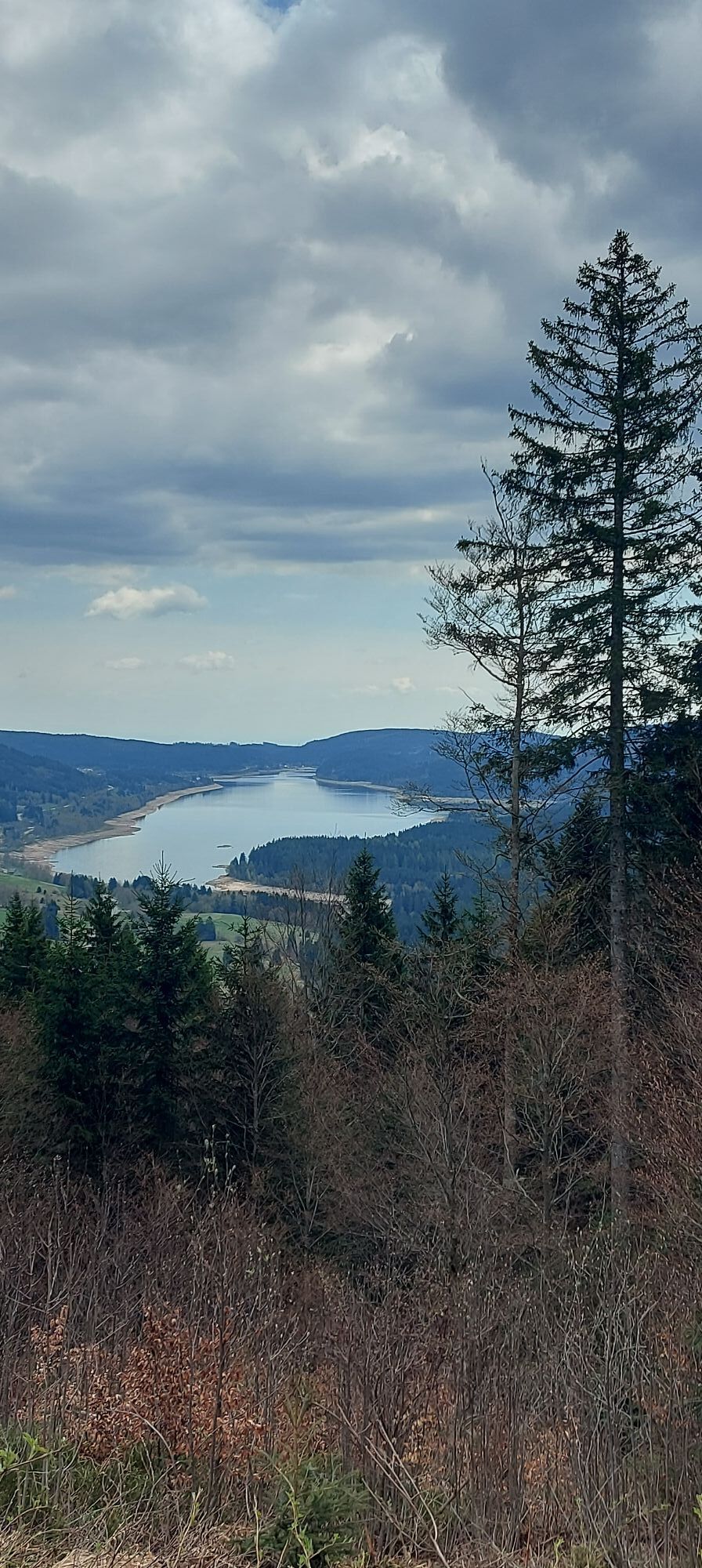
You start your tour at the train station in Bärental, cross the Lidl car park, turn left, cross the railway line, keep left and then right to head towards Mittelfalkau. Continue over the Schuppenhörnle in the direction of Rotkreuz/ Saig. Once you arrive at the Rotkreuz hiking car park, follow the signs to Saig. Once you arrive in the beautiful mountain village, the route now heads downhill towards Titisee and along the lakeshore, past the campsites back to Bärental.
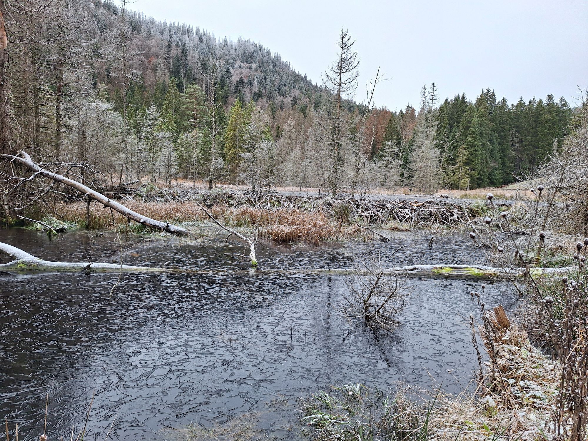
After a short stretch on the road, past the Hotel Adler, turn left at the 180-degree bend to head straight on towards Kunzenmoos. There, turn left past the barrier along the Seebach stream to the mystical Feldsee lake.
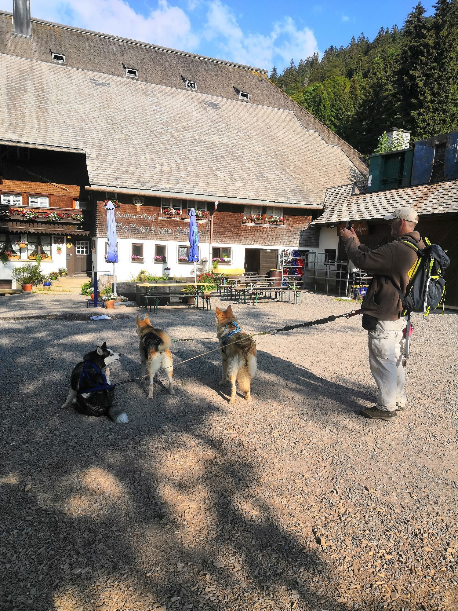
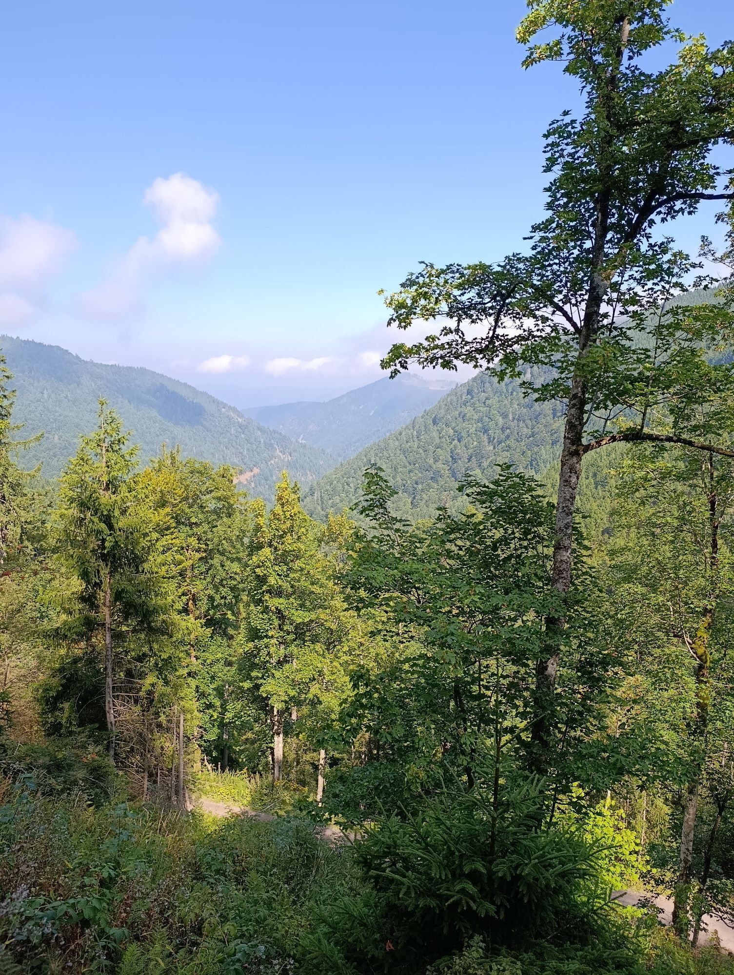
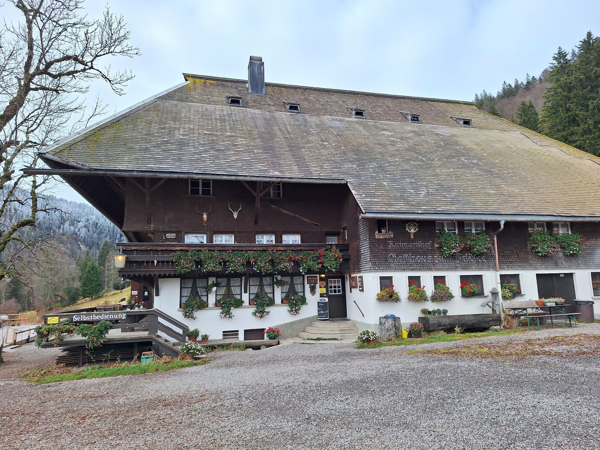
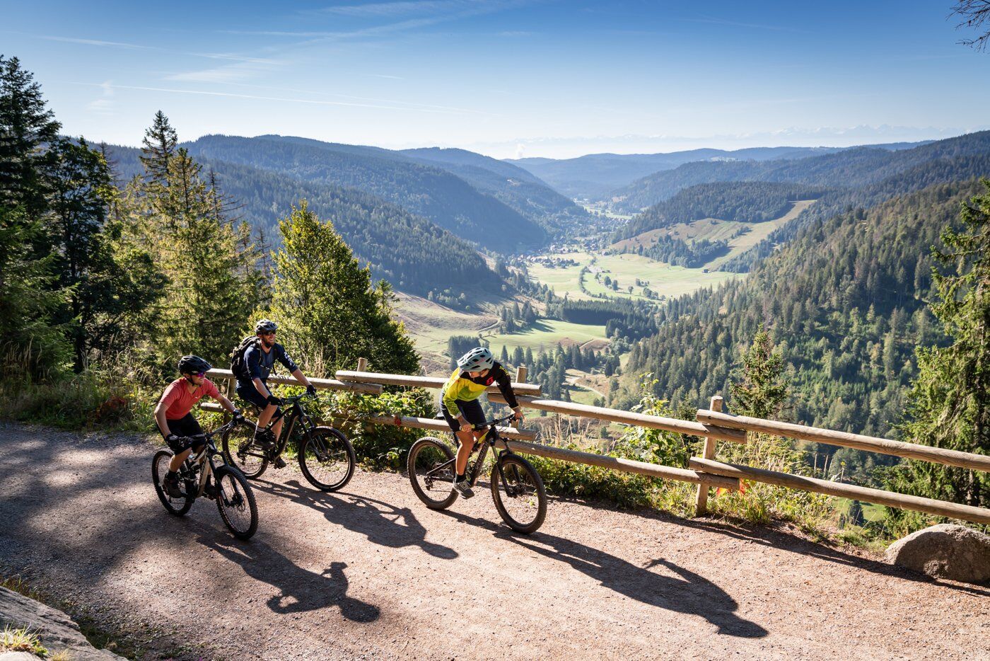
Then cycle back to the Raimartihof inn, the oldest inn in Baden-Württemberg. From here, follow the yellow signs uphill and then tackle a narrow trail to Rufenholzplatz. Continue towards Rinken and then turn off on a short hut tour past the Zastler, St. Wilhelmer and Todtnauer huts.
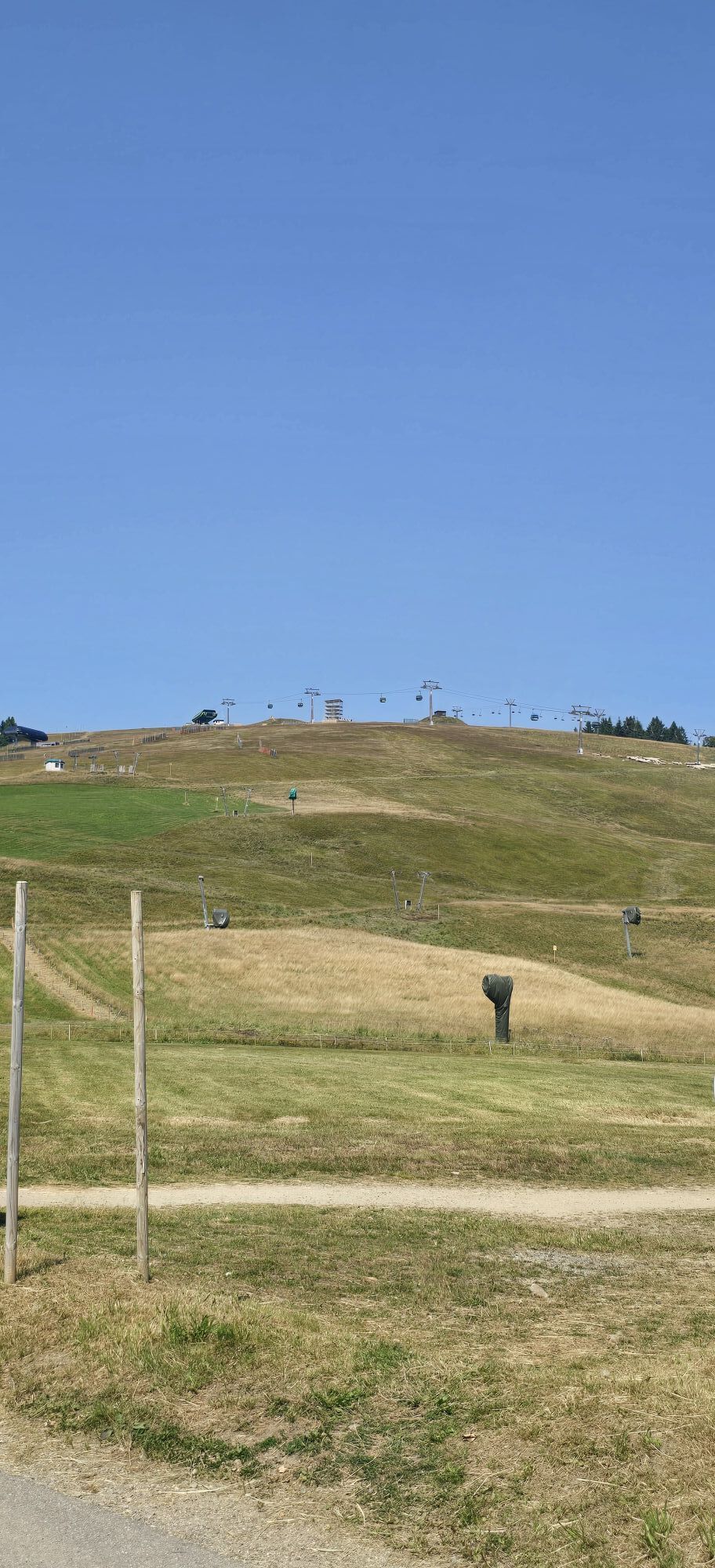
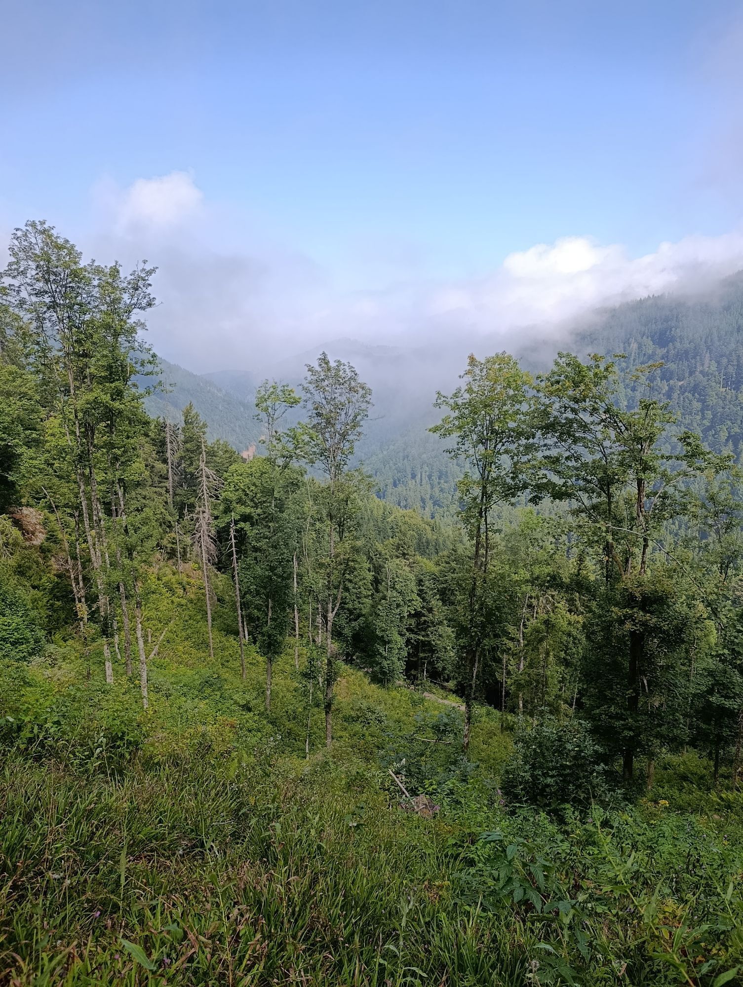
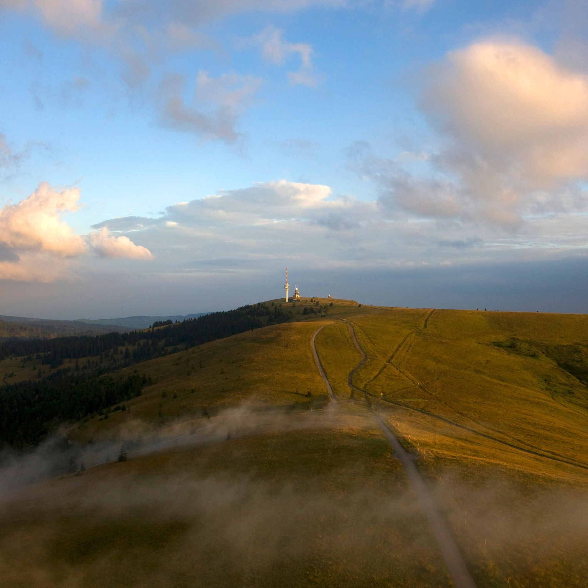
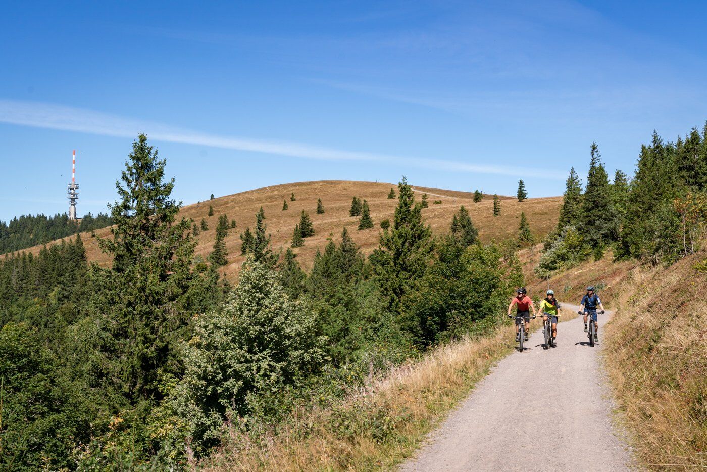
Our tour continues along the Feldberg to the Grüblesattel junction, where you can either pedal hard again and take a detour to the Seebuck or choose the easy, energy-saving option directly to the Haus der Natur. Once you arrive at the Haus der Natur, follow the Eberlinweg past the Feldberg church ‘Verklärung Christi’ to the ski bridge. Cross the road there and descend below the bridge to the Menzenschwander Hütte, then turn left and continue below the road to the Caritashaus. Turn right onto the Hochkopfweg to Farnwitte and then downhill to Altglashütten.
Once in Altglashütten, keep left and continue to Neuglashütten. From there, it's all downhill back to Bärental and your starting point.
Sí
Sí
We recommend wearing a helmet.
A hearty snack in one of the many huts is an absolute must.
ATTENTION: Please note the closing days of the huts!
Webcams del recorrido
-
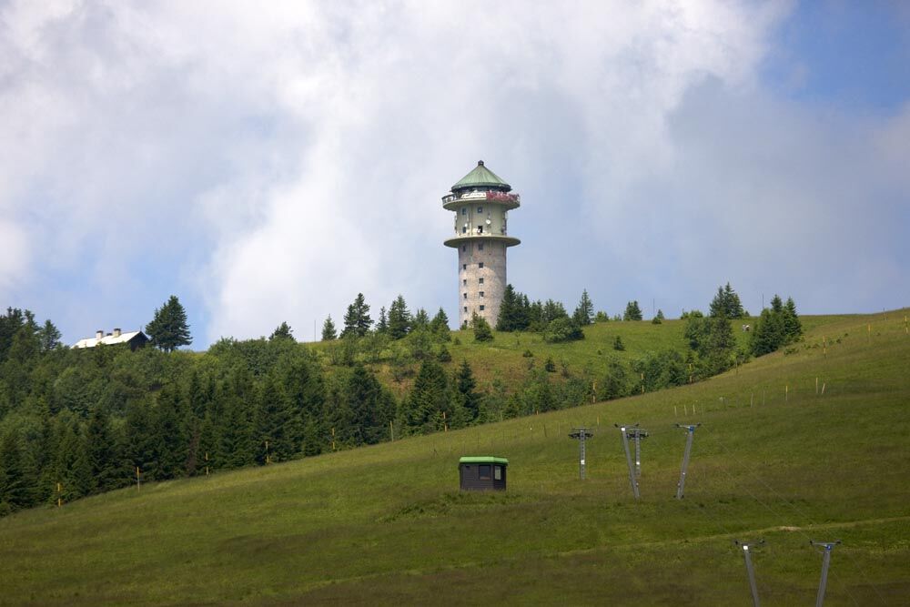
Feldbergturm Seebuck Gipfel
-
Todtnauberg - Pension Glöcklehof
-
Feldberg - Falkau
-
Feldberg - Grafenmatt I
-
Altglashütten - Schwarzenbachlift
-
Seebuck Bergstation
-
Todtnauberg - Bucklift
-
Seebuck Talstation
-
Hofeck Talstation
-
Skilift Fischbach
-
Titisee - Hotel Brugger
-
Hinterzarten - Ferienhaus Carola
-
Hinterzarten - Adlerschanze
-
Hinterzarten - Adler-Skistadion
-
Feldberg - Opelhaus
-
Menzenschwander Hütte - Feldberg
-
Menzenschwand Hinterdorf
-
Bergstation Mösle - Menzenschwand
-
Skilift Schwinbach - Menzenschwand
-
Radon Revital Bad - Menzenschwand
-
Skilift Rehbach - Menzenschwand
-
Menzenschwander Hütte - Feldberg
-
Skilifte Stollenbach
-
Scheuermatthof
-
Stollenbach
-
Todtnauer Hütte
-
Titisee - Fewo Titiseeblick
-
Feldberg - Altglashütten
-
Feldberg - Fahl
-
Todtnauberg
-
Todtnauberg Stübenwasenlift
-
Todtnauberg
-
Dorf / Lenzkirch Saig Hochfirstweg
-
Alpen / Lenzkirch Saig Hochfirstweg
Rutas populares en los alrededores
-
4,7
Heimatpfad Hochschwarzwald- Mühlen und Sägen in der Schlucht
medioSenderismo 7,42 km -
3,6
Seerundweg Titisee
luzSenderismo 5,84 km -
3,9
Von Titisee zum aussichtsreichen Hochfirst
medioSenderismo 10,6 km -
4,1
Höhenklimaweg Titisee-Rundweg
medioSenderismo 7,44 km -
3,8
Genießerpfad - Säbelthomaweg
medioSendero temático 11,3 km -
4,3
Ravennaschlucht
Senderismo 6,90 km -
4,0
Höhenmeter auf dem Herzogenhorn
medioSenderismo 11,1 km -
4,8
Sonnenaufgang und Feldbergsteig
medioSenderismo 11,6 km -
5,0
Genießerpfad - Menzenschwander Geißenpfad
medioSendero temático 9,78 km -
3,7
Rundweg zum Todtnauer Wasserfall
luzSenderismo 6,06 km
Senderismo y rastreo


No se pierda las ofertas y la inspiración para sus próximas vacaciones
Su dirección de correo electrónico se ha añadido a la lista de correo.