






Westweg: stage 11 east (Weißenbachsattel - Schweigmatt)

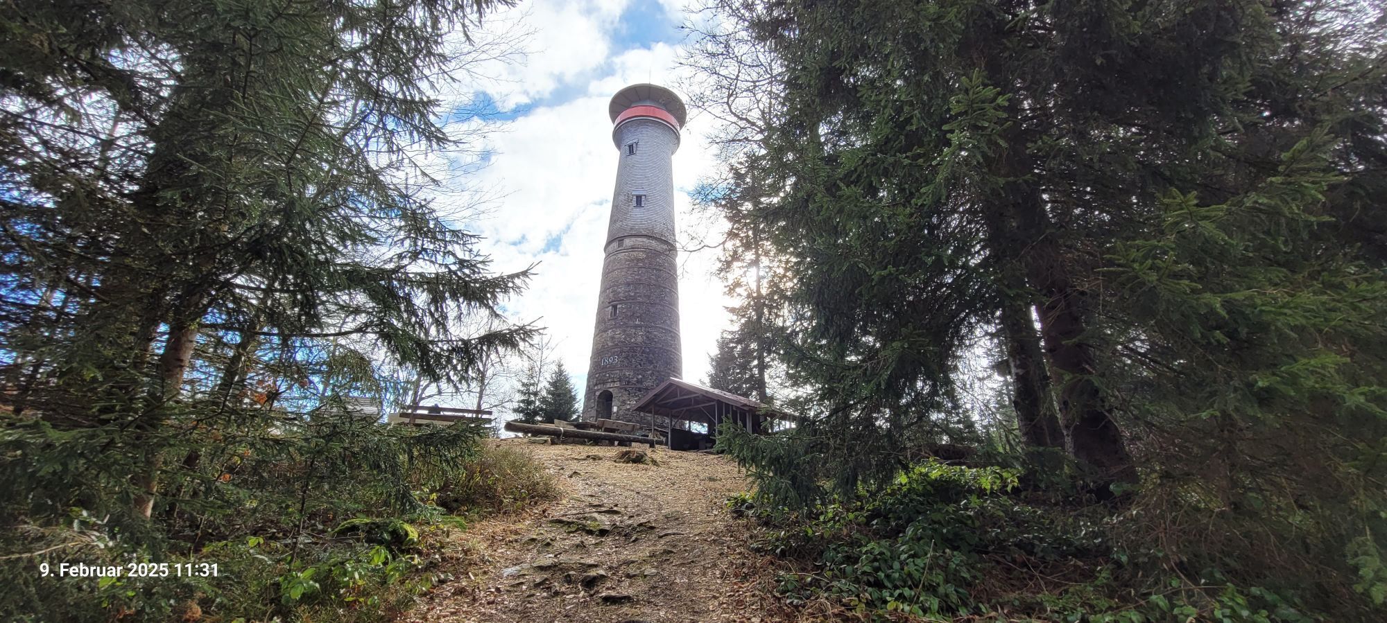
At Weißenbachsattel, the Westweg passes by the “Tor zum Wehratal” (Gate to Wehra Valley) and then leads down to a high ropes course. From there, it gently ascends through spruce and alder woods and aromatic...
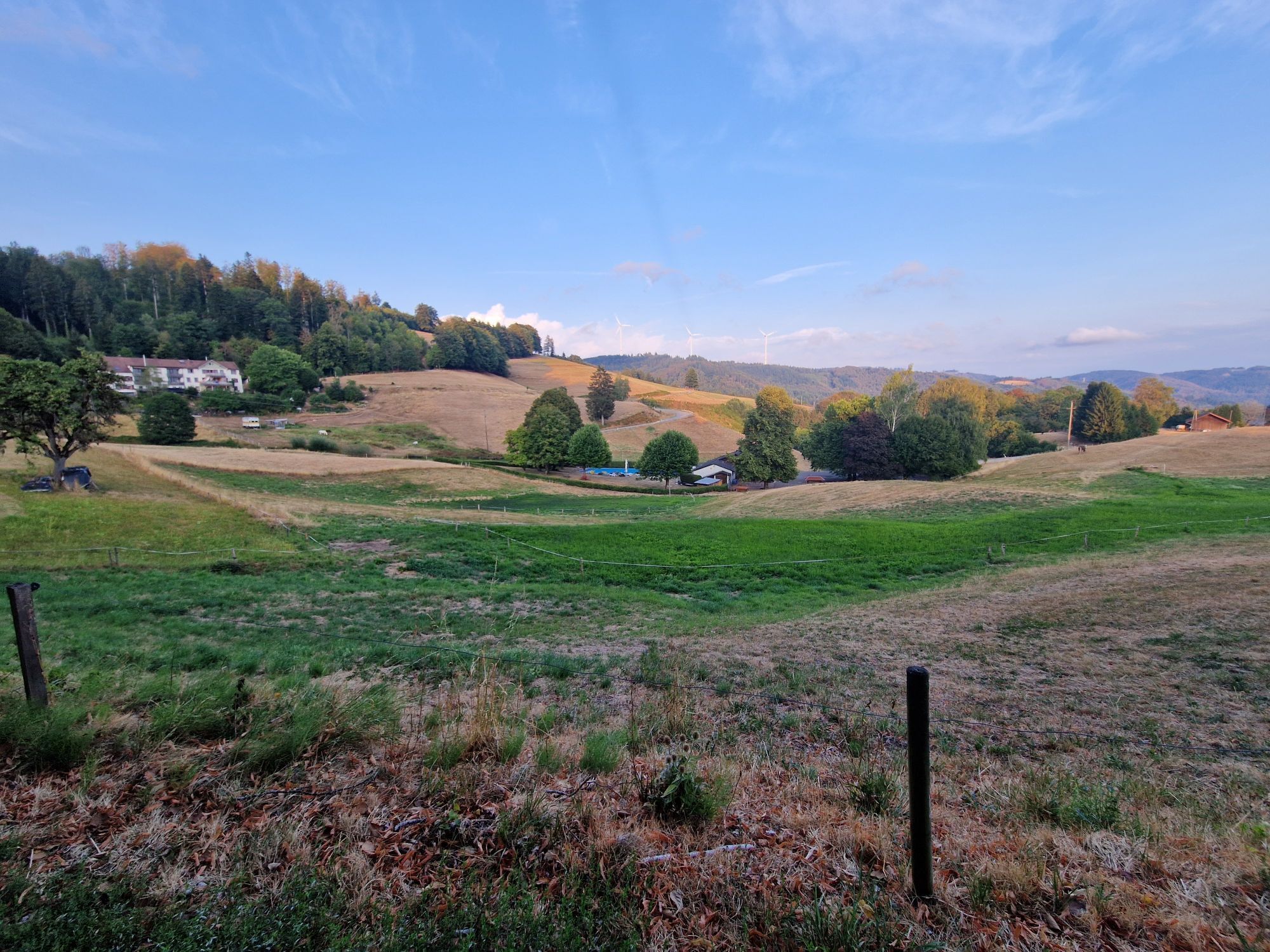
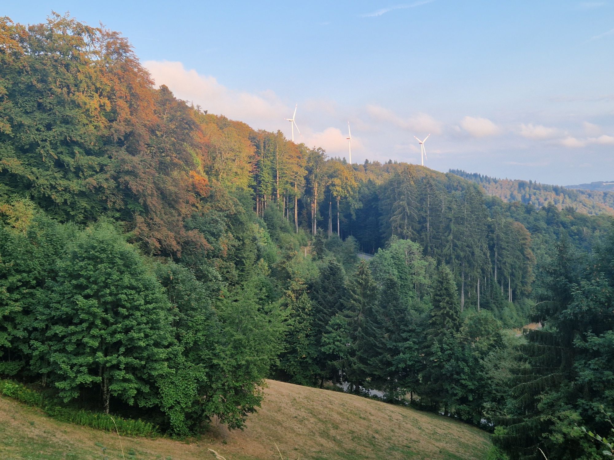
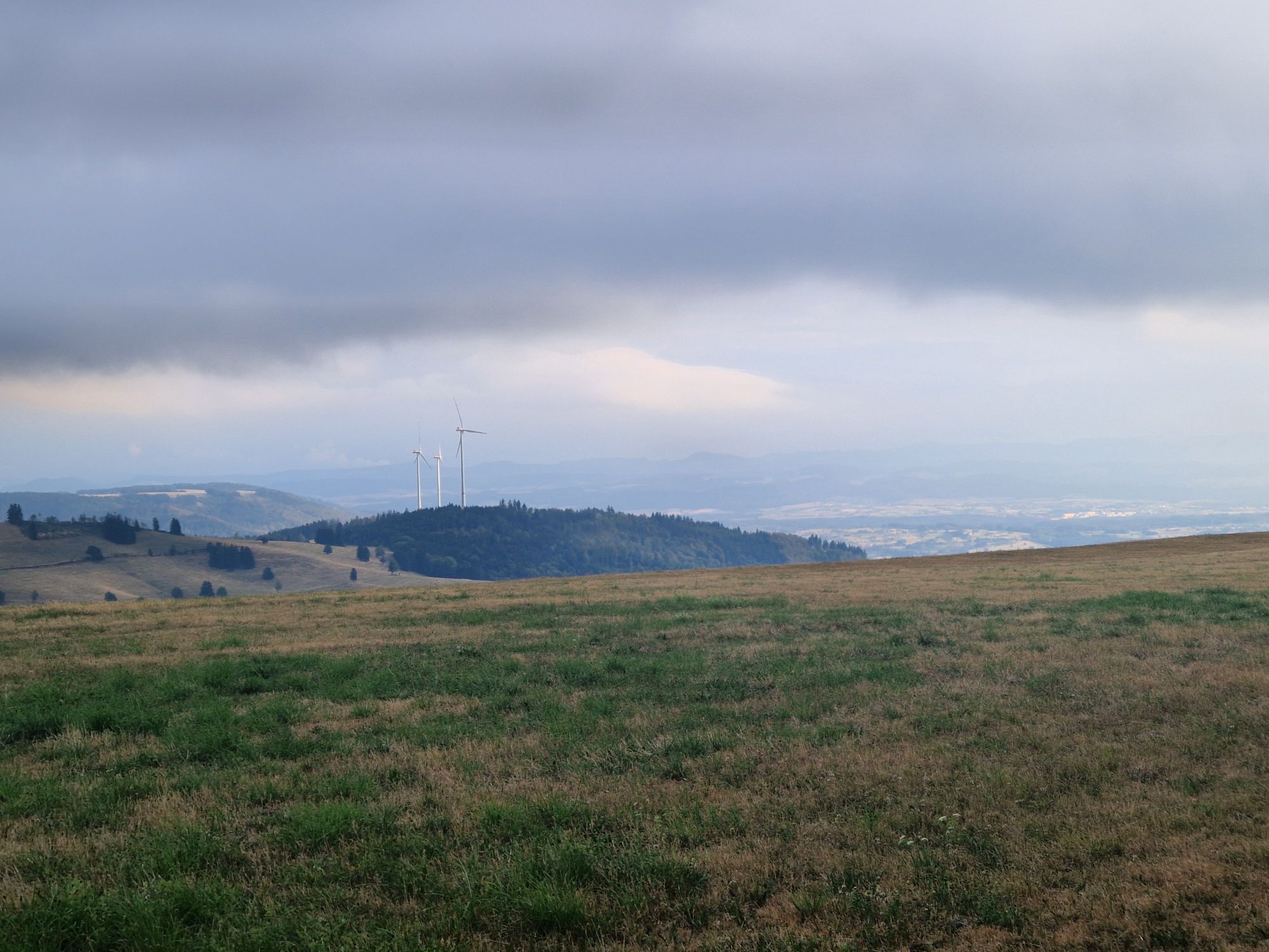
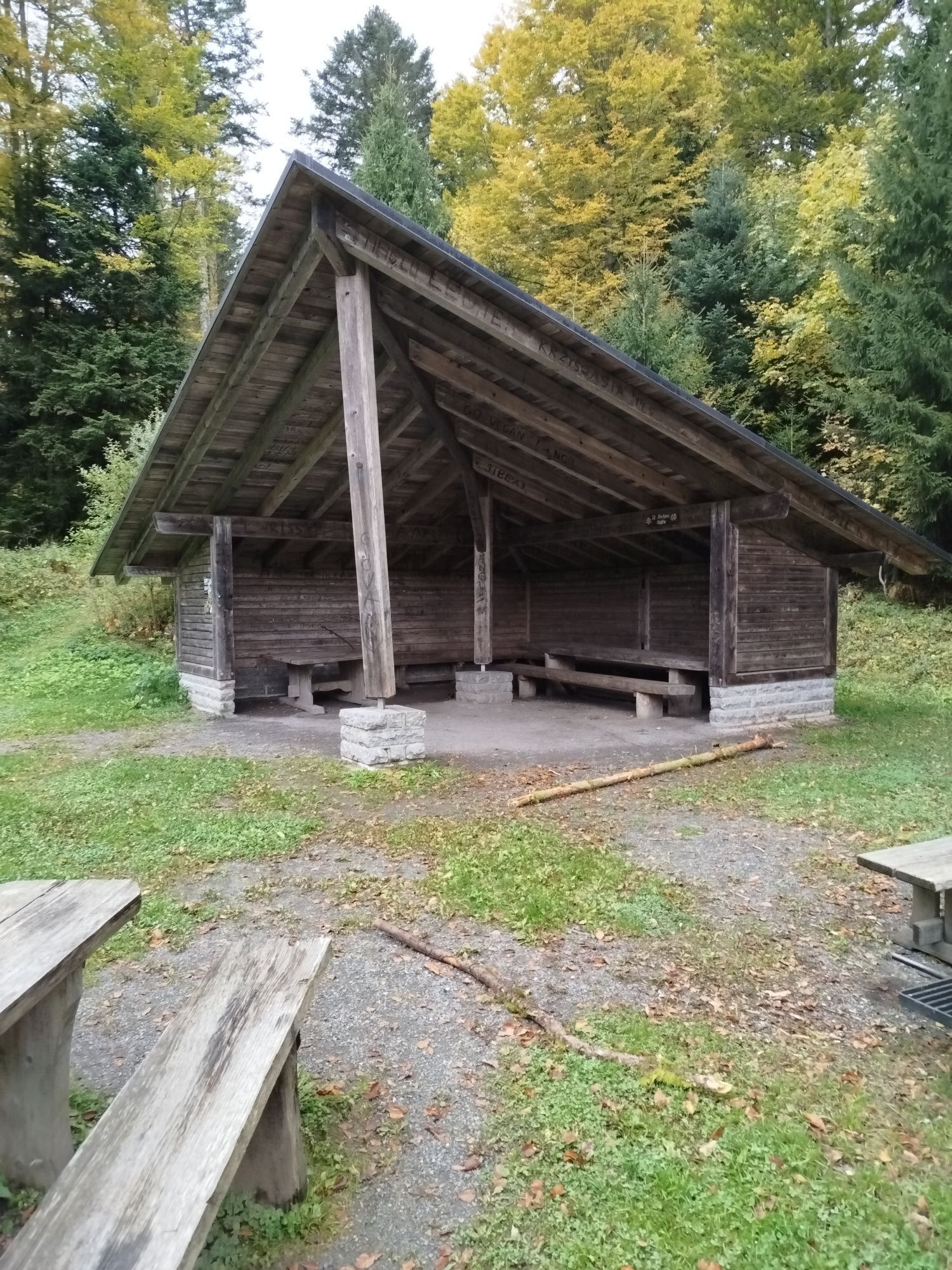
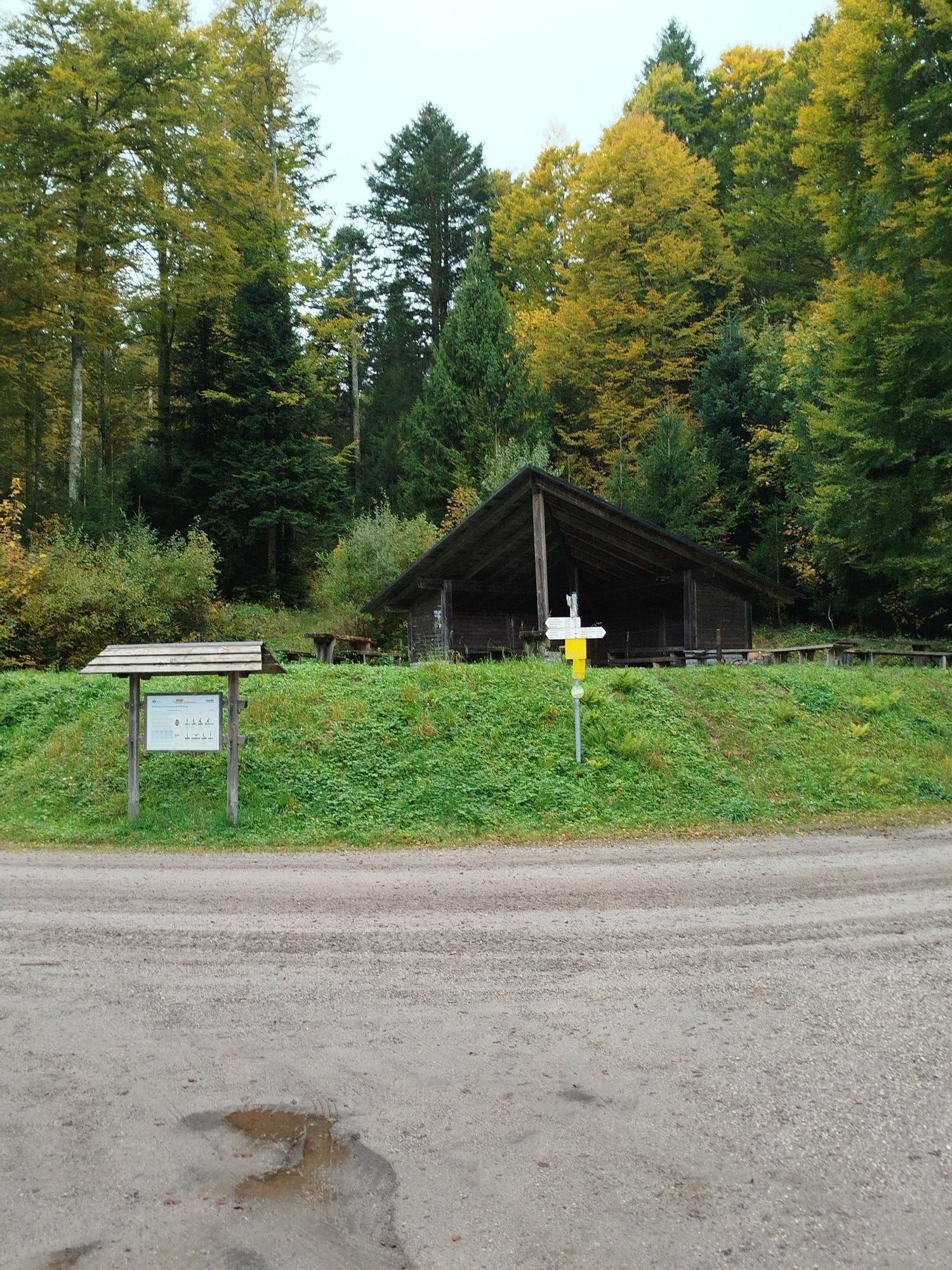
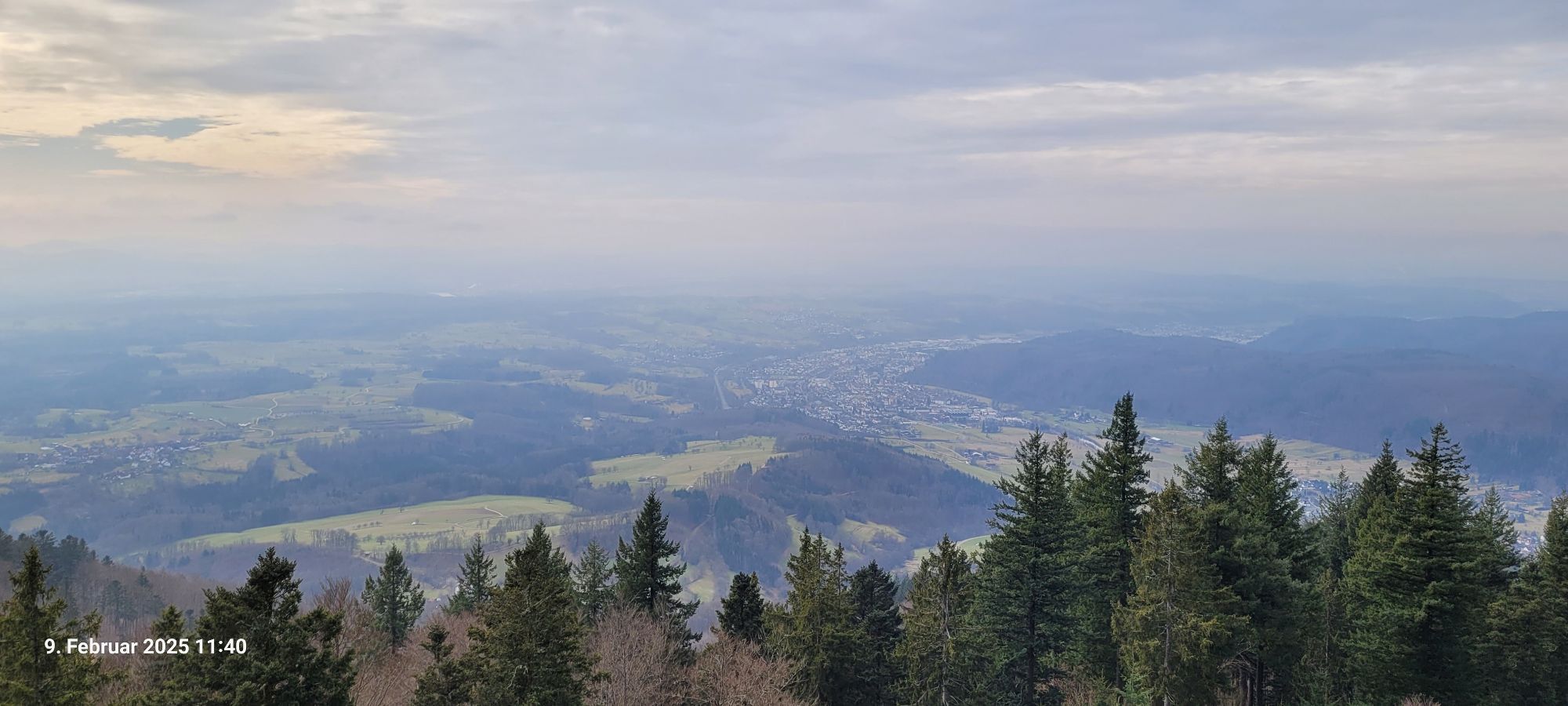
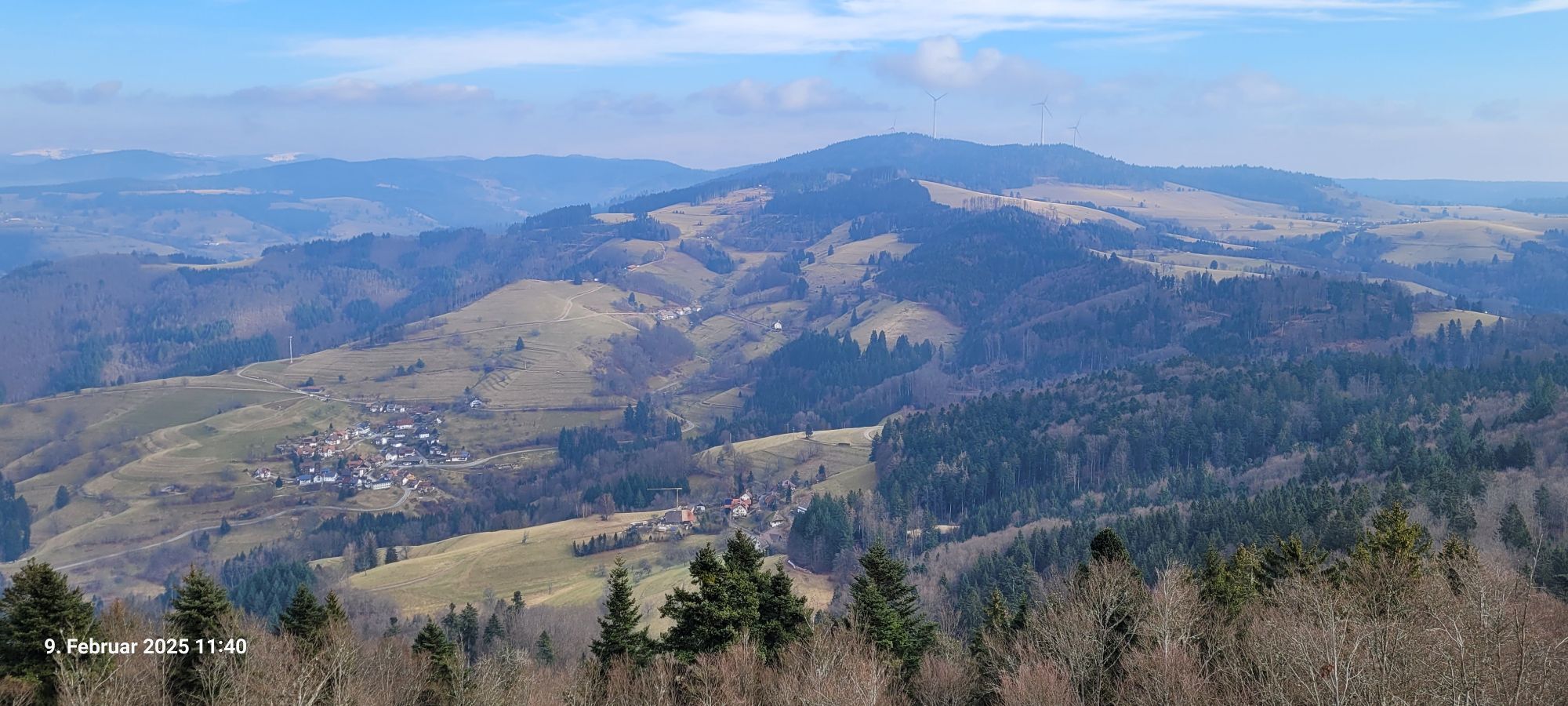
At Weißenbachsattel, the Westweg passes by the “Tor zum Wehratal” (Gate to Wehra Valley) and then leads down to a high ropes course. From there, it gently ascends through spruce and alder woods and aromatic mountain valleys to Todtmoos-Lehen. Behind St. Antoni, the trail disappears deep into the forest. At times leading north, at times south, the trail circumvents the thickly wooded crests of the ridge line and passes by the Altensteiner Kreuz before resurfacing out of the deep green at the Schwellen bedrock. There is a fantastic view to the south along the forest edge over the bedrock, revealing the Gersbach sun terrace all the way to Switzer-land’s Jura mountain range. In the distance, hikers can already see Hohe Möhr with its characteristic tower structure on the peak. The ascent to the last of the highest Black Forest mountain peaks begins at Sandwürfesattel. Finally, the trail winds its way to altitude taking numerous serpentine curves. A brief detour to a natural fountain promises a nice cool down before reaching the outlook tower at Hohe Möhr (983m), built in 1893 from stone and wood. Thanks to the 25-meter platform, Westweg hikers can again scale up one thousand meters. Finishing the 144 steps is rewarded with a sweeping panoramic view over the southwest apex of the Black Forest. From the tower, follow the familiar red diamonds down through the forest, which the trail won’t leave again until Waldhaus mountain inn. Like an eagle’s nest, Schweigmatt adheres to the steep southwest hillside on Hohe Möhr. With a view onto Dinkelberg, over which the following stages run en route to Basel, hikers slowly leave the Black Forest.

ÖPNV-Anbindungen zum Weißenbachsattel: von Freiburg aus entweder direkt mit dem Bus oder über Kirchzarten oder Titisee oder Feldberg-Bärental zum Busbahnhof Todtnau (ca. 1 Std. 20min; 2 x pro Stunde); von dort mit dem Bus zum Hochkopfhaus (25 min, 8 x tägl. Mo-Fr, 3 x tägl. Sa + So).
nach Schweigmatt: Fahrtzeit ca.30 Minuten von Basel Bad. bis Hausen Raitbach mit S6, dann 60 Minuten Fußweg nach Schweigmatt. Abfahrt alle 30 Minuten werktags, alle 60 Minuten sonntags
Wem die Etappe zu kurz ist, kann bis Hasel verlängern. Dort lohnt sich ein Besuch der nahen Erdmannshöhle, die zu den ältesten Tropfsteinhöhlen Deutschlands zählt. Sie ist eine ideale unterirdische Einstimmung auf die geologisch äußerst interessanten Dinkelberg-Etappen.
Rutas populares en los alrededores
-
4,4
Belchensteig
medioSenderismo 14,8 km -
4,9
Todtmoos – Wanderung: Genießerpfad Lebküchlerweg
medioSenderismo 12,8 km -
5,0
Hotzenwald Höhenweg
medioSenderismo 8,30 km -
3,7
Rundweg zum Todtnauer Wasserfall
luzSenderismo 6,06 km -
3,4
Auf ruhigen Wegen von Todtnauberg nach Todtnau
medioSenderismo 10,2 km -
4,8
Belchen Talstation hin und zurück
luzSenderismo 5,91 km -
4,0
Bernauer Hochtal Steig
medioSenderismo 15,9 km -
5,0
Von Menzenschwand zum Herzogenhorn
pesadoSenderismo 13,9 km -
Herrischried - Wanderung zum Gugelturm
medioSenderismo 6,88 km -
4,0
Belchen für Geniesser
medioSenderismo 13,3 km
Senderismo y rastreo


No se pierda las ofertas y la inspiración para sus próximas vacaciones
Su dirección de correo electrónico se ha añadido a la lista de correo.





