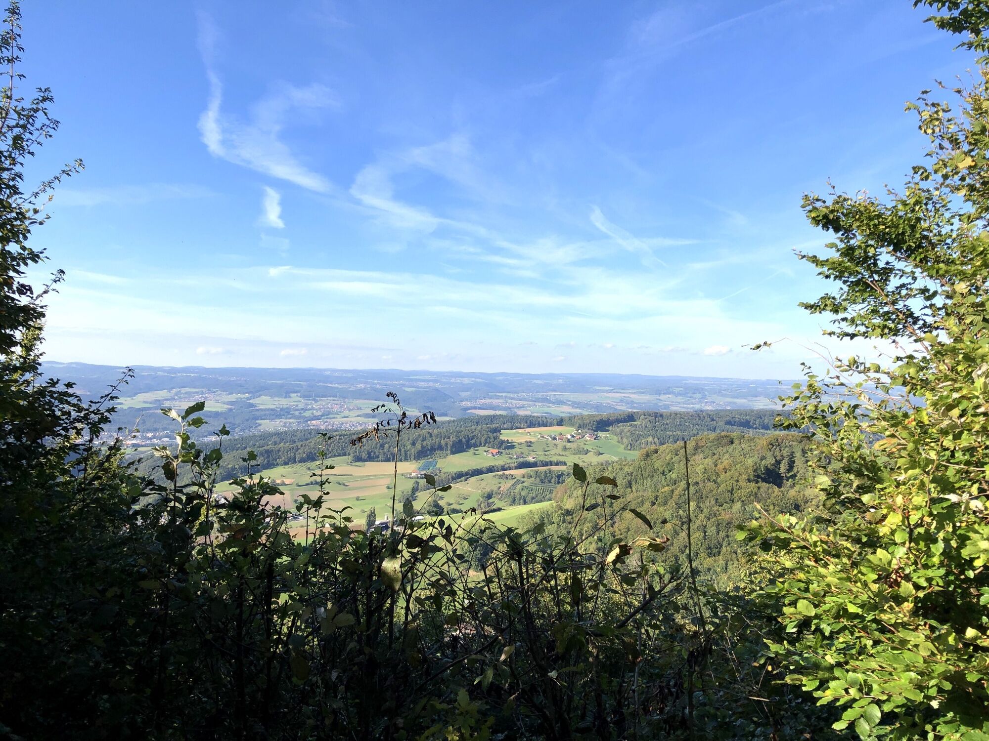
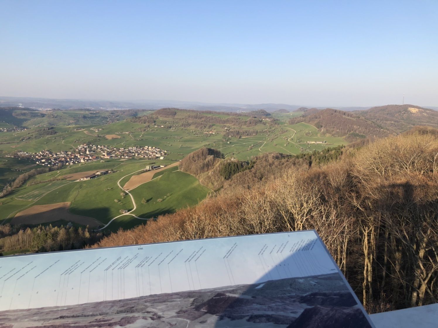
Cheisacherturm
luz
Consigue este tour en tu móvil
Cheisacherturm
luz
Senderismo
3,64
km
Escanee el código QR e inicie la navegación en la aplicación bergfex

Senderismo y rastreo


Cheisacherturm
luz
Distancia
3,64
km
Duración
00:59
h
Ascenso
126
m
Nivel del mar
582 -
692
m
Descarga de pistas
Cheisacherturm
luz
Senderismo
3,64
km
Ruta
Ruta
Cheisacherturm
luz
Senderismo
3,64
km
Error
Se ha producido un error. Por favor, inténtelo de nuevo.


Valoraciones
Rutas populares en los alrededores
-
4,7
Gisliflue & Gratwanderung, Schweiz
medioSenderismo 8,59 km -
4,8
Hüslischnegg am Asperstrihen
medioSenderismo 5,05 km -
Linner Wasserfall
luzSenderismo 4,67 km -
4,1
Linn - Effingen - Bruderhöhle - Gallenkirch
medioSenderismo 7,88 km -
4,8
Rickenbach: Ins Reich des Hans mit de Giige
medioSenderismo 8,34 km -
5,0
Murgtalpfad - Streckentour
pesadoSenderismo 28,1 km -
Alrededor del embalse de Klingnau
luzSenderismo 10,7 km -
2,0
Staffelegg - Ruine Schenkenberg - Thalheim
luzSenderismo 6,96 km -
5,0
Schinznach Bad - Brugg, Schweiz
luzSenderismo 10,5 km -
5,0
Zum Höllbachfall im Hotzenwald
medioSenderismo 5,16 km
Senderismo y rastreo

Más de 550.000 sugerencias de excursiones, mapas detallados y un intuitivo planificador de rutas hacen de esta aplicación una herramienta imprescindible para todos los amantes de la naturaleza.

No se pierda las ofertas y la inspiración para sus próximas vacaciones
Suscribirse al boletín de noticias
Error
Se ha producido un error. Por favor, inténtelo de nuevo.
Gracias por inscribirse
Su dirección de correo electrónico se ha añadido a la lista de correo.
Viajes por Europa
Austria
Suiza
Alemania
Italia
Eslovenia
Francia
Países Bajos
Belgium
Polonia
Liechtenstein
República Checa
Slovakia
España
Croacia
Bosnia y Herzegovina
Luxemburgo
Andorra
Portugal
Iceland
United Kingdom
Ireland
Greece
Albania
North Macedonia
Malta
Norway
Montenegro
Moldova
Kosovo
Hungary
San Marino
Romania
Estonia
Latvia
Belarus
Cyprus
Lithuania
Serbia
Bulgaria
Monaco
Denmark
Sweden
Finland