


Alva Alp and the Lodrino Valley


Starting behind the Church of Sant'Ambrogio, located in the heart of the characteristic village of Lodrino, the trail rises up to Alva Alp, where its namesake hut is situated on a wide, sloping pasture...
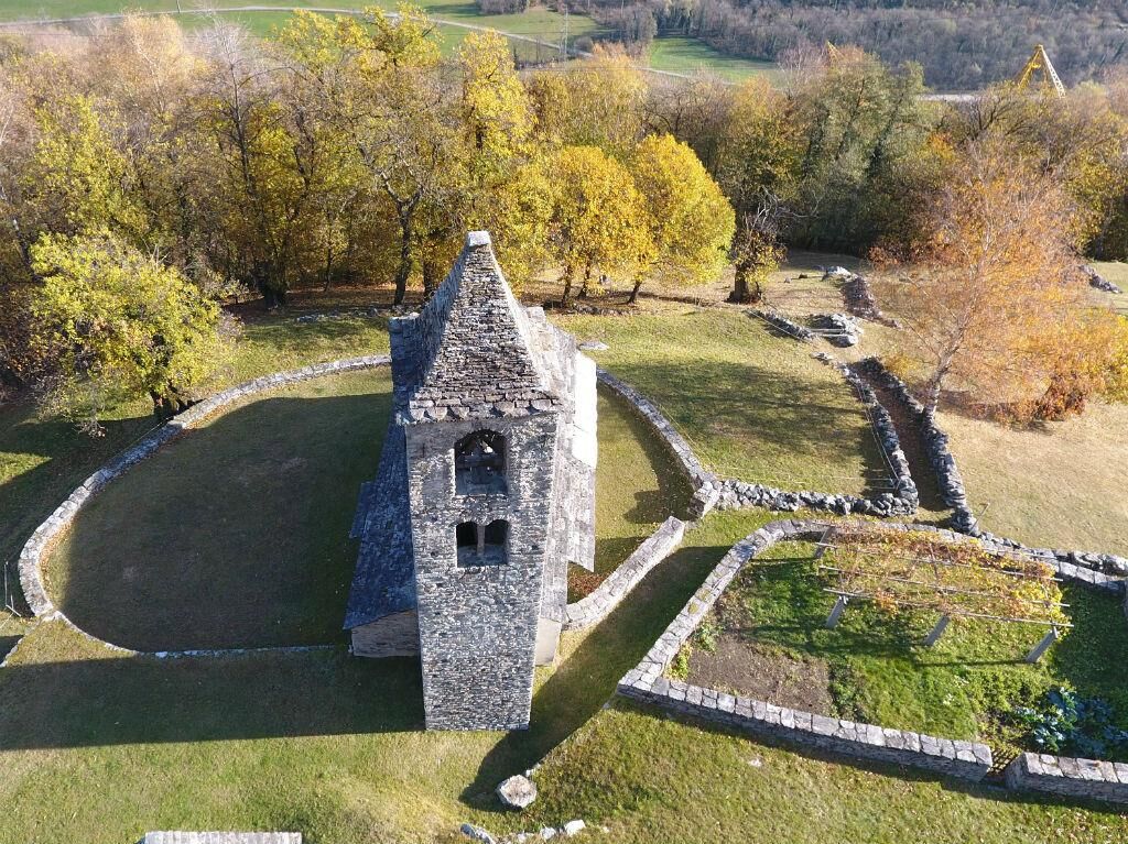
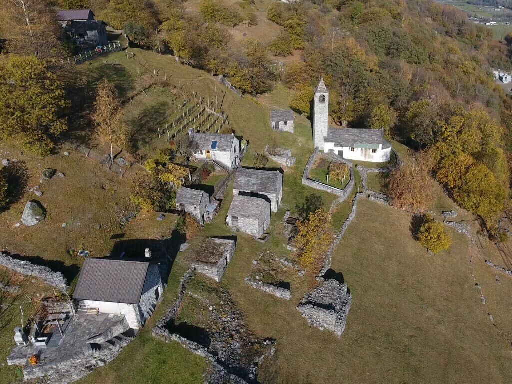
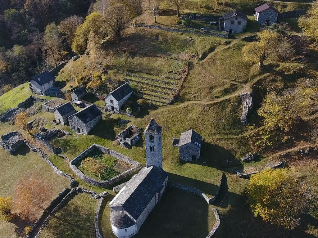
Starting behind the Church of Sant'Ambrogio, located in the heart of the characteristic village of Lodrino, the trail rises up to Alva Alp, where its namesake hut is situated on a wide, sloping pasture surrounded by fir and larch woods. From here you can enjoy the view of the crowning peaks, marking the division with the Verzasca Valley. Continuing towards Pön and Citt in Iragna Valley, numerous farmsteads and mountain pastures recount ancient stories.
Sí
The careful planning of a tour will ensure that you also derive the maximum pleasure and enjoyment from it.
Rutas populares en los alrededores
-
4,3
Sendero etnográfico Revöira (SvizzeraMobile 629)
medioSenderismo 7,97 km -
3,5
Entlang der Verzasca von Sonogno via Brione nach Lavertezzo
luzSenderismo 14,5 km -
4,5
Recorrido del puente tibetano (SvizzeraMobile 628)
medioSenderismo 9,02 km -
4,8
Diga Verzasca-Mergoscia-Corippo-Lavertezzo
medioSenderismo 13,0 km -
5,0
Presa Verzasca-Montes de Motti-Presa Verzasca
medioSenderismo 9,31 km -
Sentiero Verzasca (SvizzeraMobile 74)
medioSendero de largo recorrido 34,4 km -
4,3
Sentiero Verzasca (SvizzeraMobile 74) - Stage 1: Sonogno-Lavertezzo
medioSendero de largo recorrido 13,4 km -
4,0
Vogorno-Alpe Bardughè-Vogorno
medioSenderismo 12,2 km -
5,0
Lavertezzo-Brione Verzasca
luzSenderismo 6,50 km -
4,0
La Fortaleza de Bellinzona y sus castillos
luzSenderismo 5,41 km
Senderismo y rastreo


No se pierda las ofertas y la inspiración para sus próximas vacaciones
Su dirección de correo electrónico se ha añadido a la lista de correo.