


Mountain hike "Forcella di Casies/Gsieser Törl"


Fotos de nuestros usuarios
-

 © Denis Zilio 1Creado el 18.08.2025
 -
 © Denis Zilio 1Creado el 18.08.2025
 -
 © Denis Zilio 1Creado el 18.08.2025
 -
 © Denis Zilio 1Creado el 18.08.2025
 -
 © Denis Zilio 1Creado el 18.08.2025
 -
 © Denis Zilio 1Creado el 18.08.2025
 -
 © Denis Zilio 1Creado el 18.08.2025
 -
 © Denis Zilio 1Creado el 18.08.2025
 -
 © Denis Zilio 1Creado el 18.08.2025
 -
 © Denis Zilio 1Creado el 18.08.2025
 -
 © Denis Zilio 1Creado el 18.08.2025
 -
 © Denis Zilio 1Creado el 18.08.2025
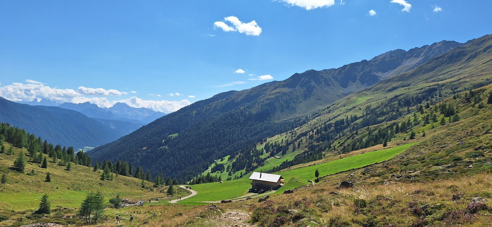
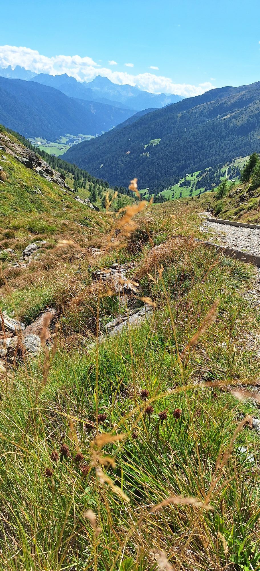
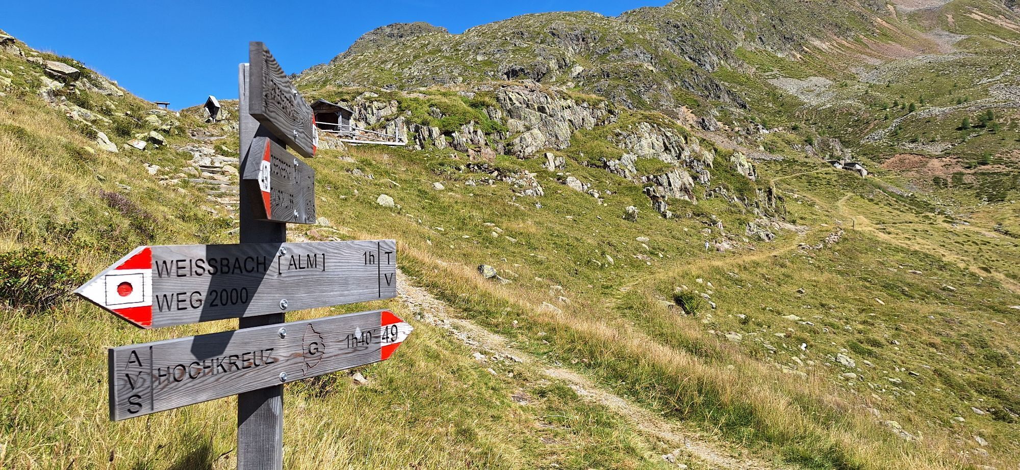

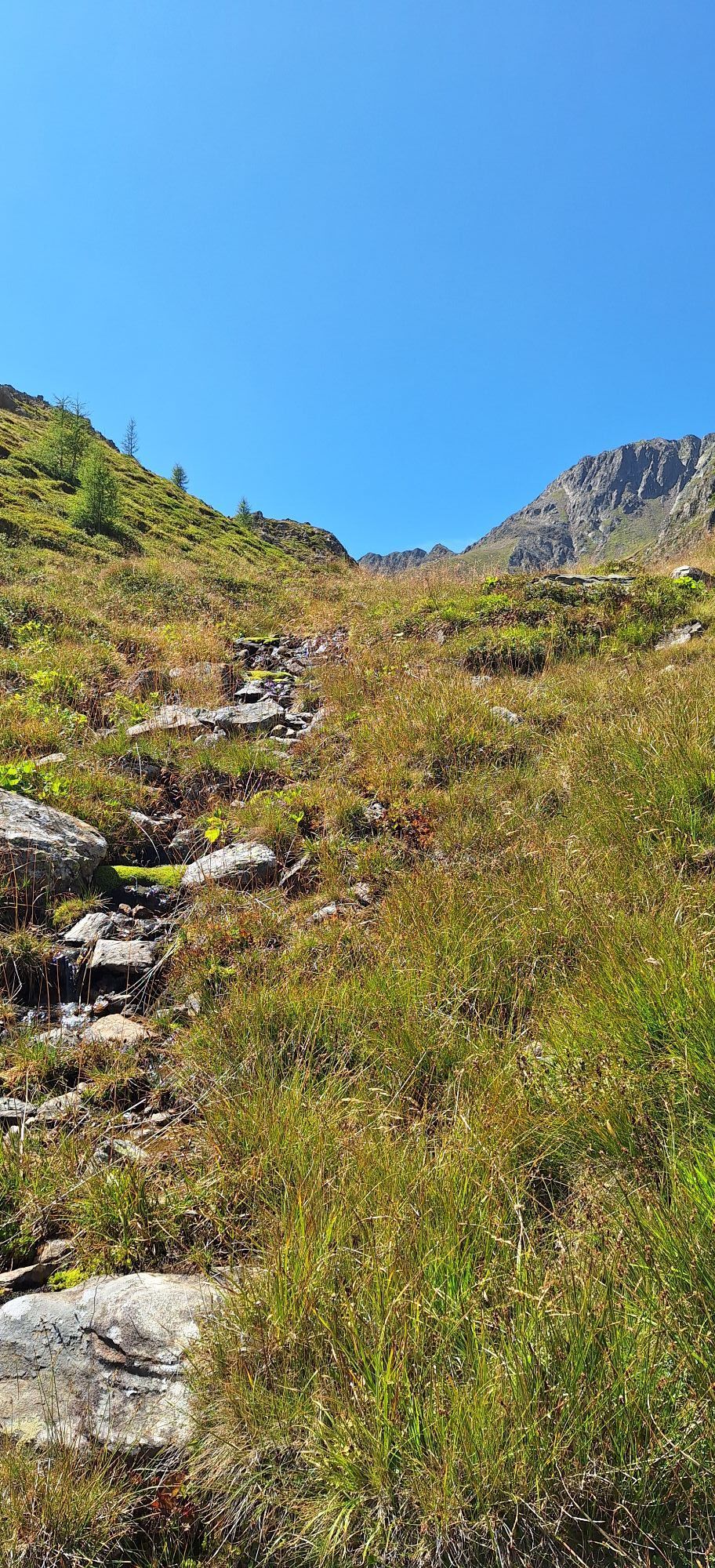

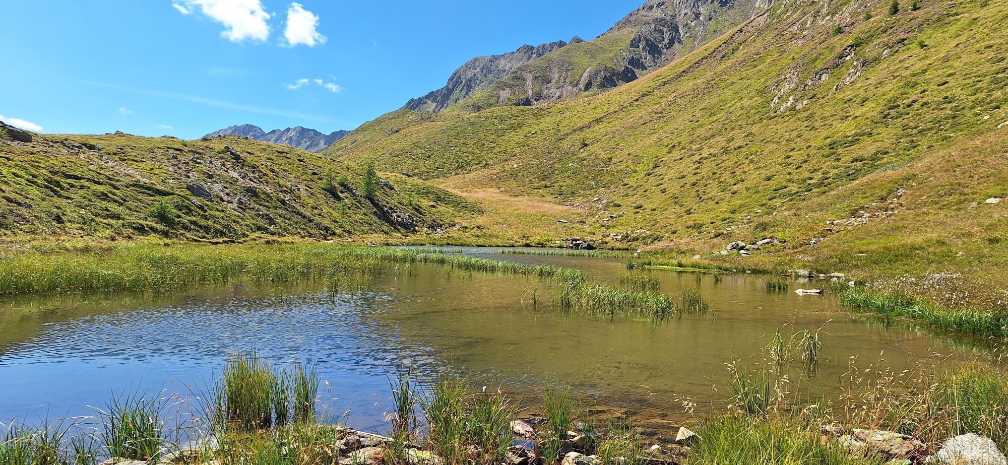
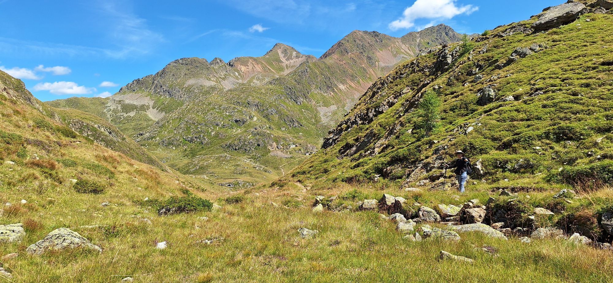
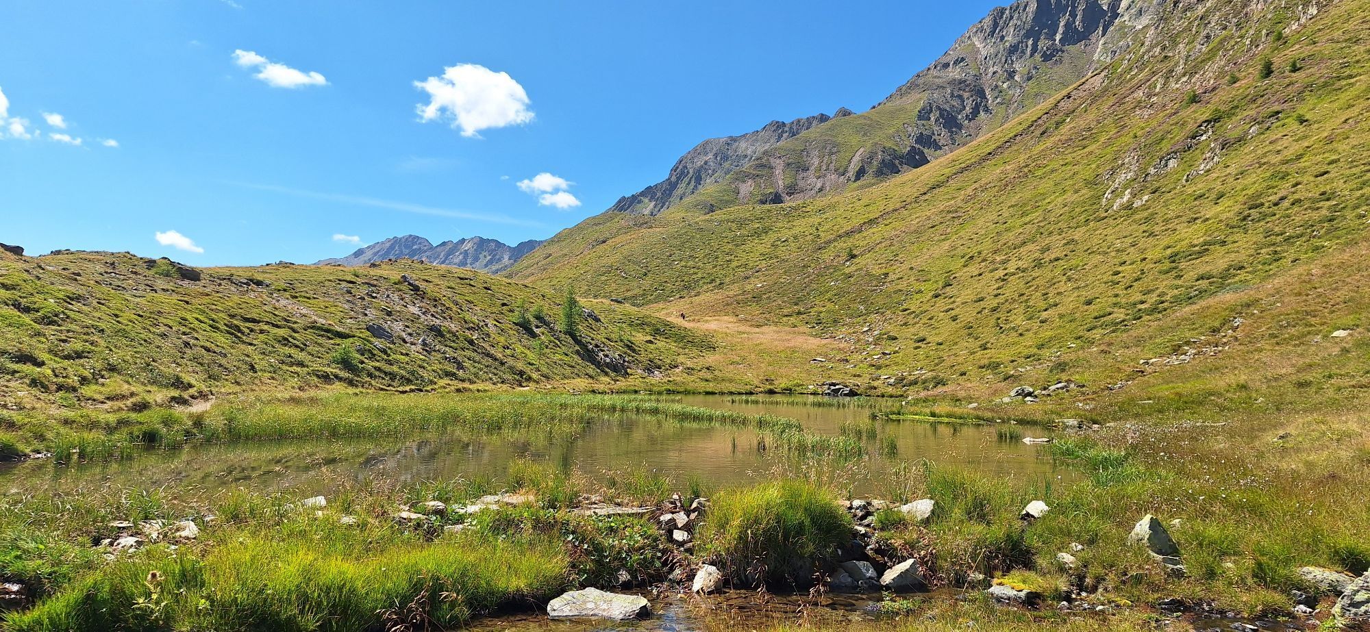
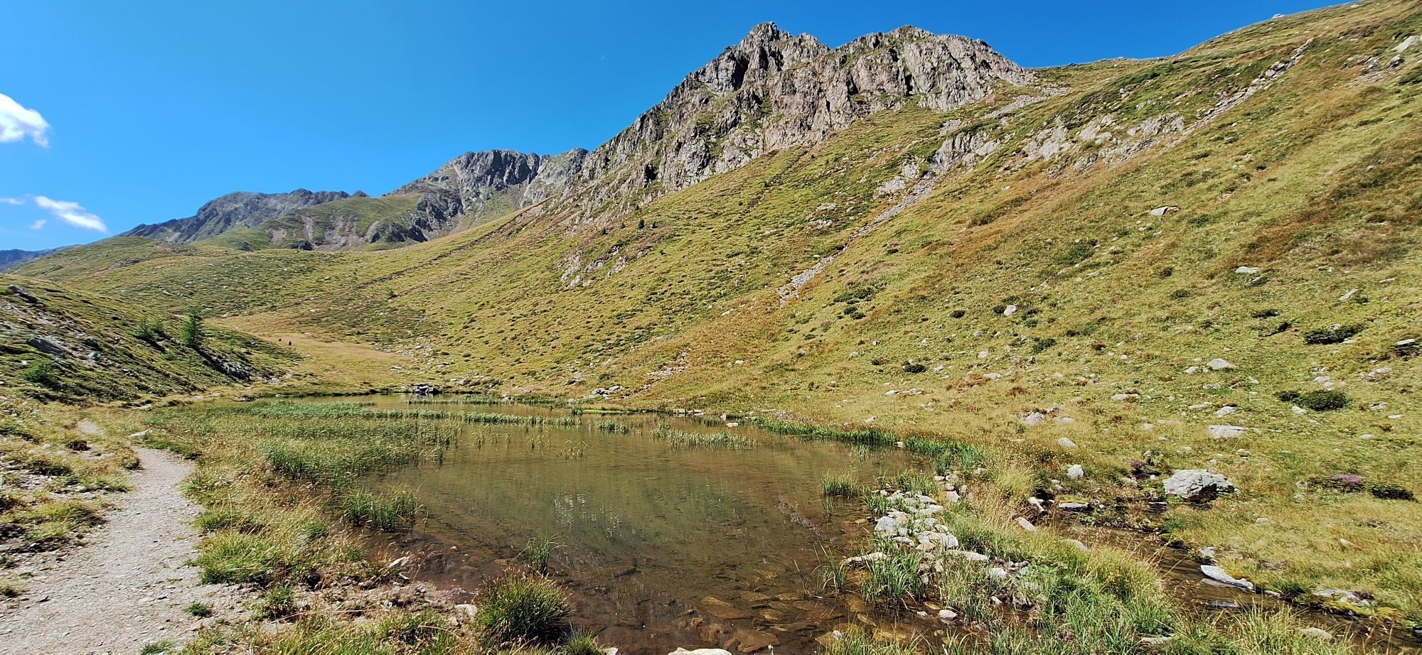
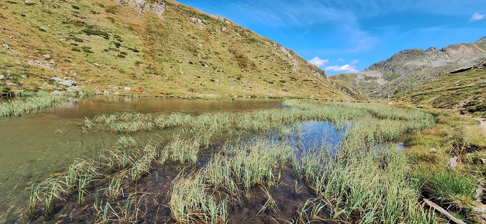

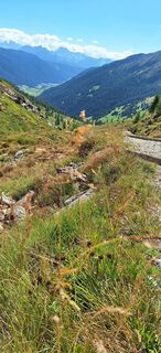
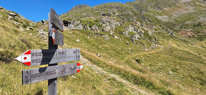
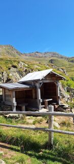
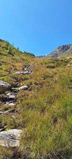
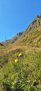
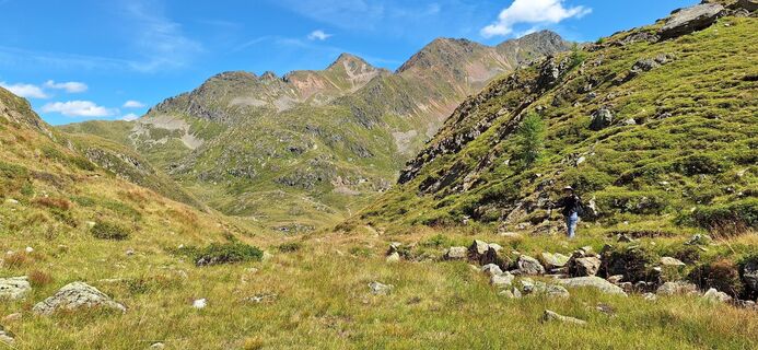
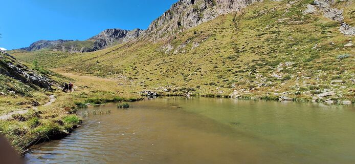
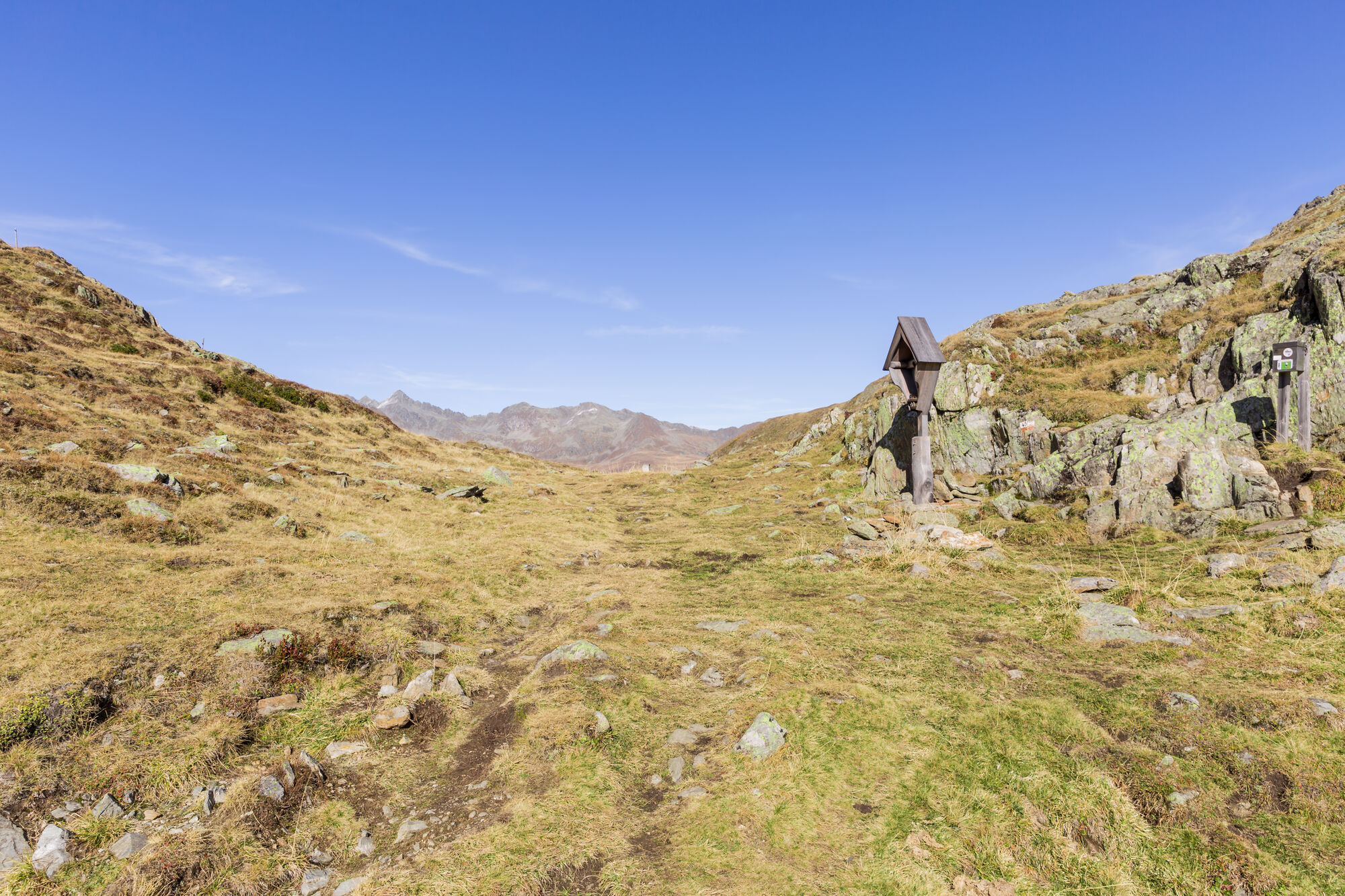
Starting from the valley head in San Maddalena/Val Casies Valley (1460m, refreshment point, parking) follow the trail marking no. 49 into the valley to the turner workshop. Once there, you can keep to...
Starting from the valley head in San Maddalena/Val Casies Valley (1460m, refreshment point, parking) follow the trail marking no. 49 into the valley to the turner workshop. Once there, you can keep to the forest road (no. 49), or take the easterly footpath, predominately through pastoral landscapes all the way to the Pidigalm with the Messner Hütte (1660m, refreshment point) or the Kradorfer Alm (1704m, refreshment point). Now continue to ascend into the valley to the Oberbergalm (1975m, refreshment point) and over lush alpine meadows and past the headwaters of the Val Casies stream reach the "Forcella di Casies/Gsieser Törl" (2205m). Return from the "Forcella di Casies/Gsieser Törl" (2205m) evenly cross the mountain slopes in a westerly direction to the Weißbachalm (2112m, not a refreshment point), proceed on the driveway downhill to the Acherlealm (1867m, not a refreshment point) and, finally, via trail no. 53, called the Jägersteig (hunter’s trail), and through the Ampfertal return to San Maddalena.
Rutas populares en los alrededores
-
4,6
Mountain hike to Mountain „Lutterkopf and Durakopf (2145/2275m)“
medioSenderismo de montaña 11,8 km -
5,0
Antholzer See - Steinzger Alm
medioSenderismo 7,48 km -
4,9
Oberhausalm - Jagdhaushütte
luzSenderismo 14,0 km -
4,2
Seespitze
medioSenderismo 13,7 km -
5,0
Jagdhausalm und Pfauenauge
luzSenderismo 14 km -
4,0
Innervillgraten - Kalkstein - Alfenalm - Schönegg
medioSenderismo 12,6 km -
4,5
Thurntaler Rundweg - Parggenspitze - Hochrast
medioSenderismo 18,0 km -
5,0
Trojertal, Hintere Trojeralm
luzSenderismo 8,97 km -
4,9
Erlsbach Almenrunde zum Klammljoch
medioMountainbike 35,3 km -
5,0
Rote Wand
medioExcursión de alta montaña 12,0 km
Senderismo y rastreo


No se pierda las ofertas y la inspiración para sus próximas vacaciones
Su dirección de correo electrónico se ha añadido a la lista de correo.