Route 'Hameau du Vivier' Provence-Alpes
medio
Navegue por
Navegue por
Consigue este tour en tu móvil
Route 'Hameau du Vivier' Provence-Alpes
medio
Senderismo
8,47
km
Escanee el código QR e inicie la navegación en la aplicación bergfex

Senderismo y rastreo


Route 'Hameau du Vivier' Provence-Alpes
medio
Distancia
8,47
km
Duración
02:26
h
Ascenso
413
m
Nivel del mar
1.345 -
1.734
m
Descarga de pistas
Route 'Hameau du Vivier' Provence-Alpes
medio
Senderismo
8,47
km


Compartir gira
Route 'Hameau du Vivier' Provence-Alpes
medio
Senderismo
8,47
km
Error
Se ha producido un error. Por favor, inténtelo de nuevo.
Información sobre la ruta
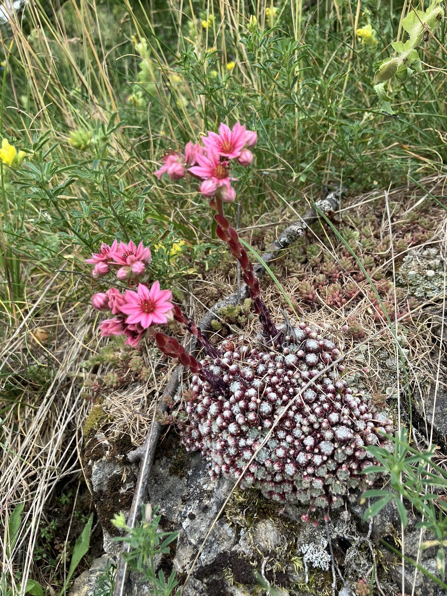
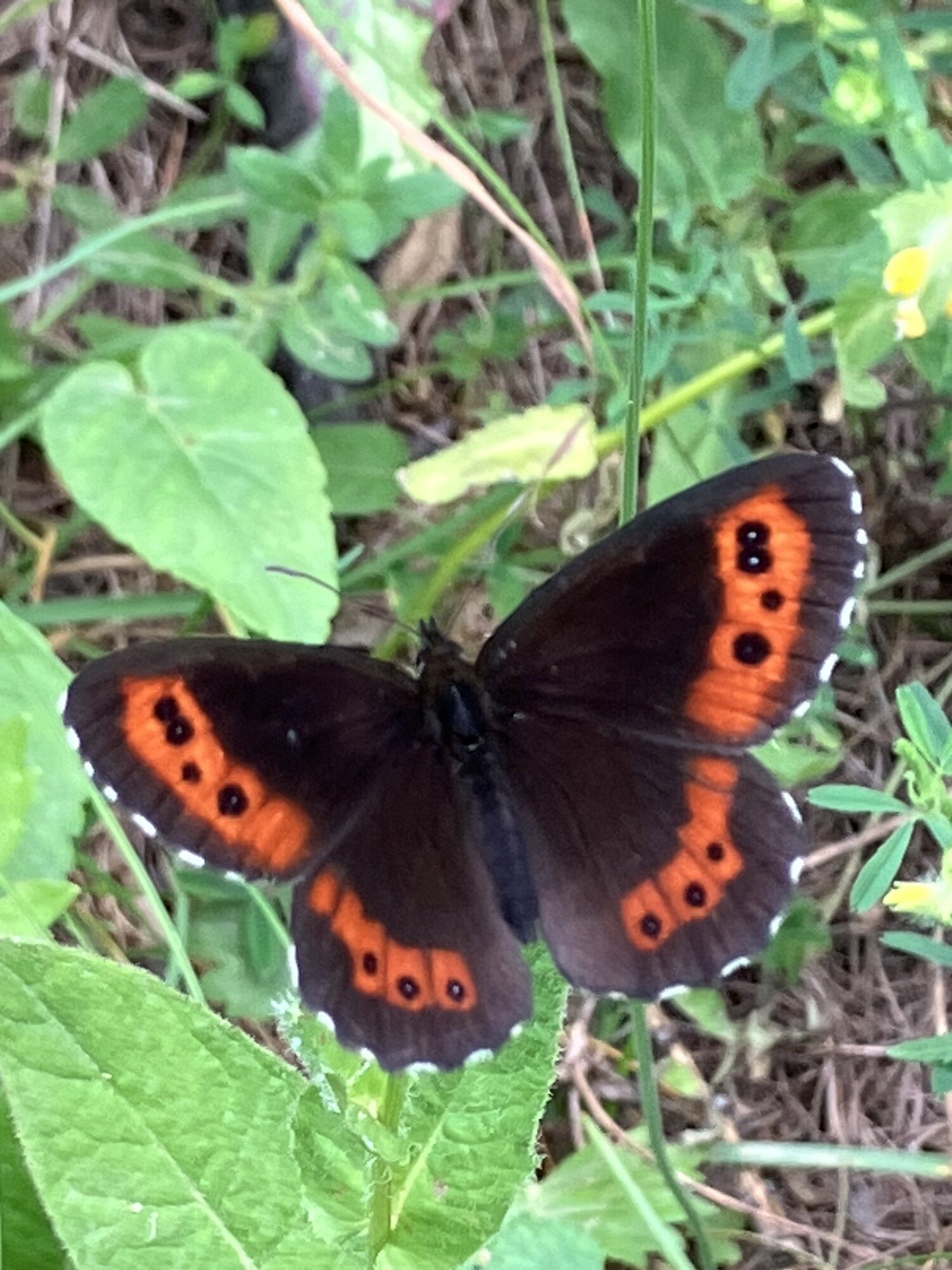
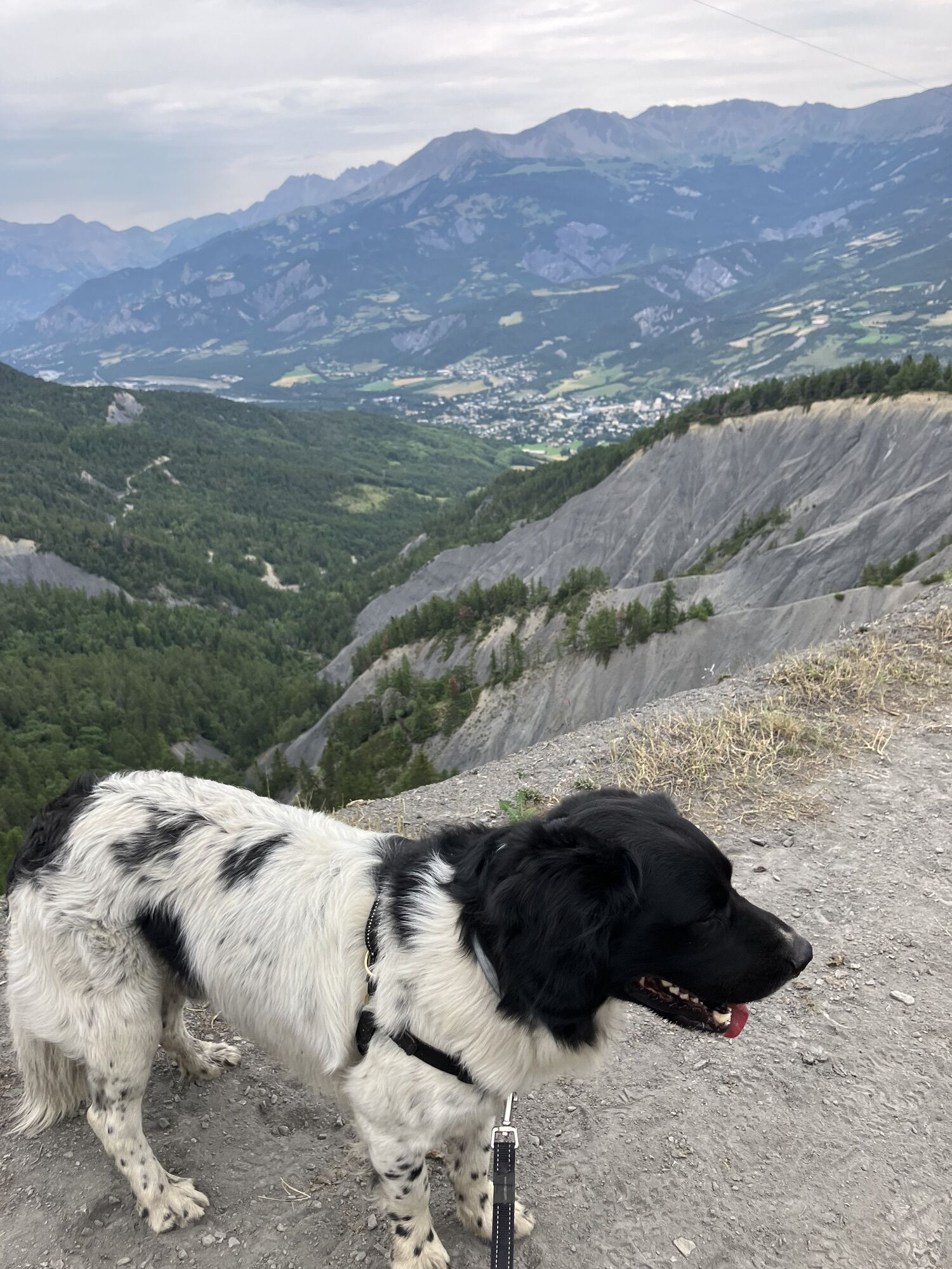
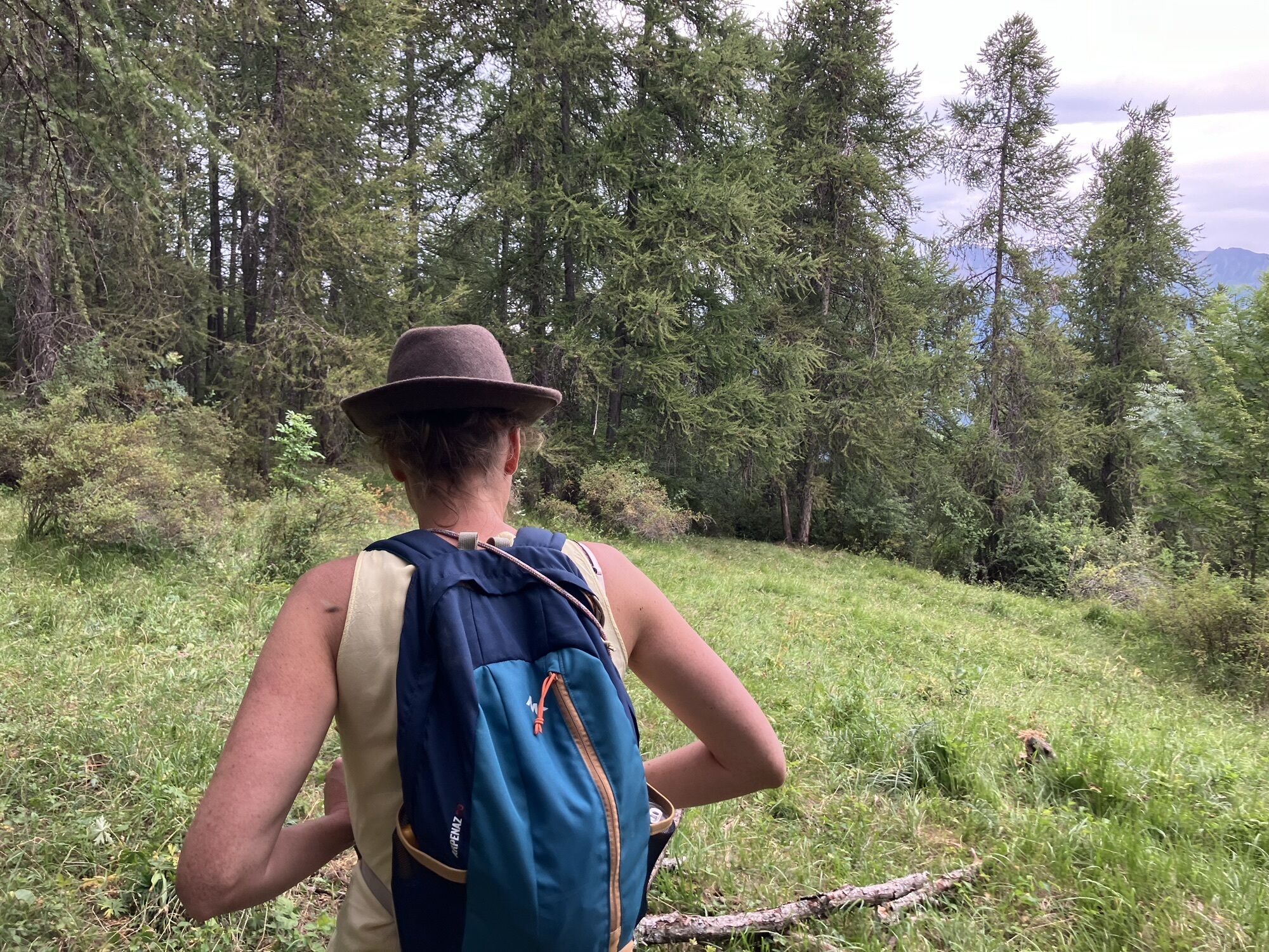
Ruta
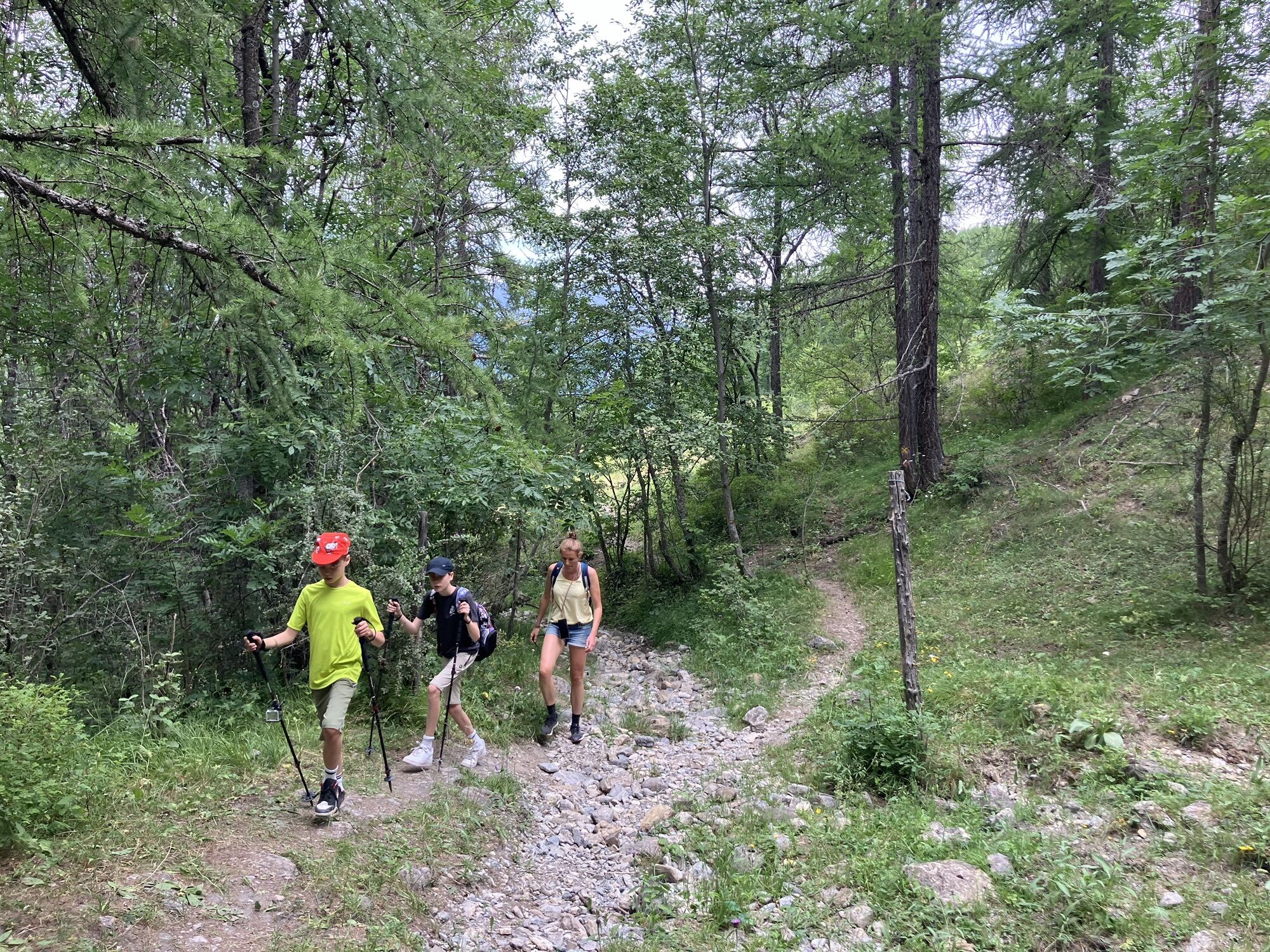
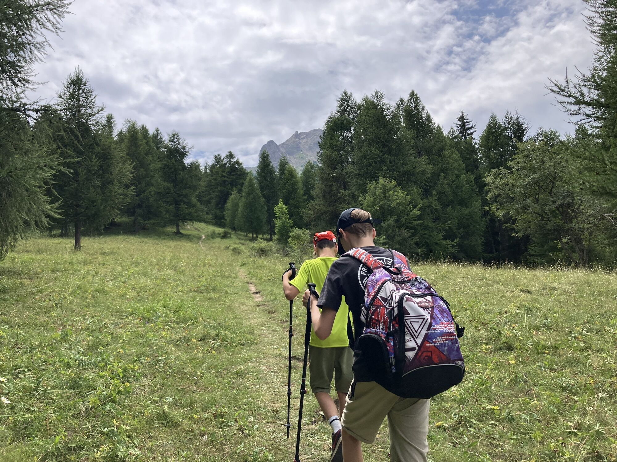
First walk to the ski lift area to start your hike. When you overview the ski slope, go to your left of the field, passing several hotels and then go up on the road on your right.
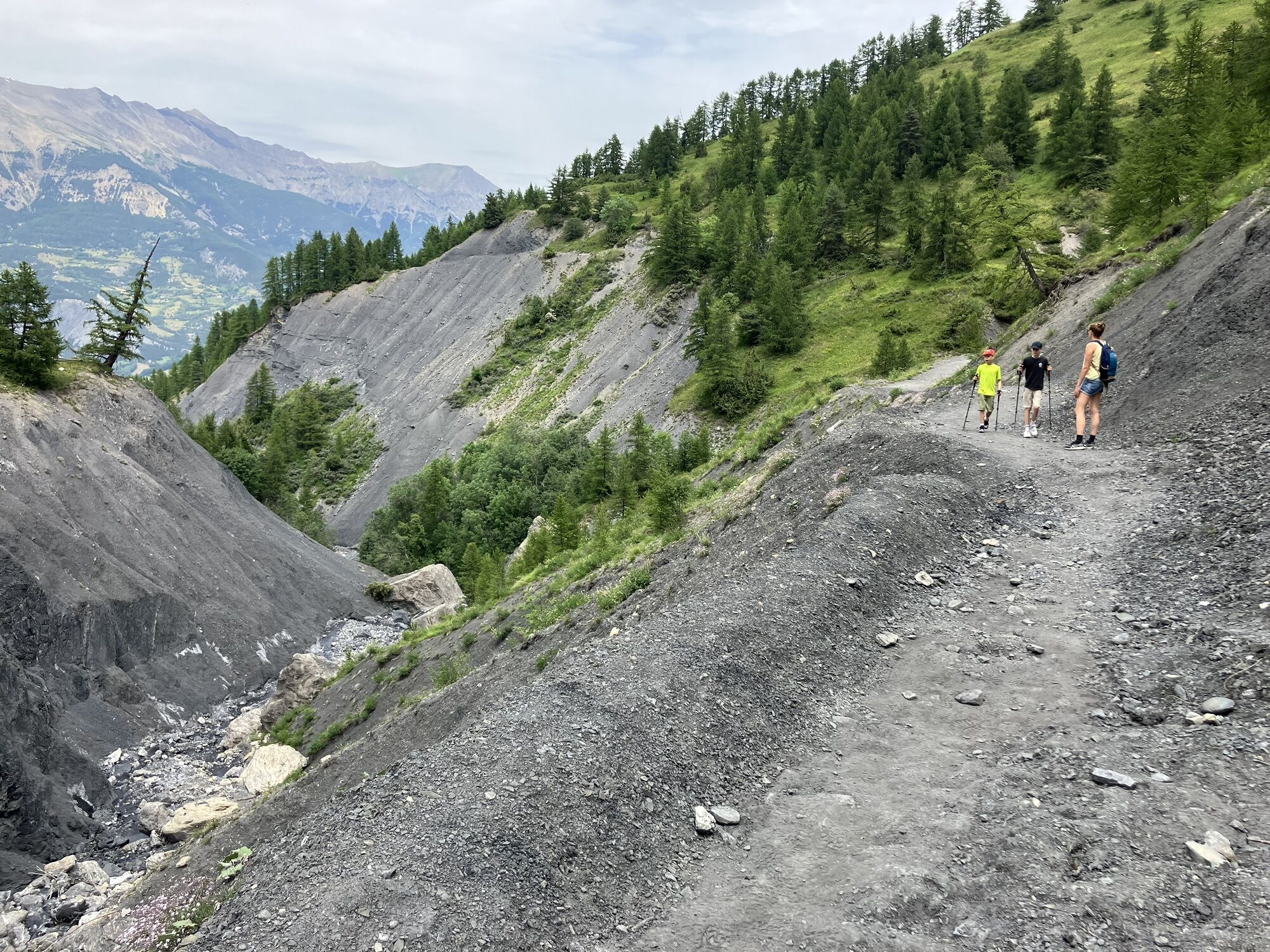
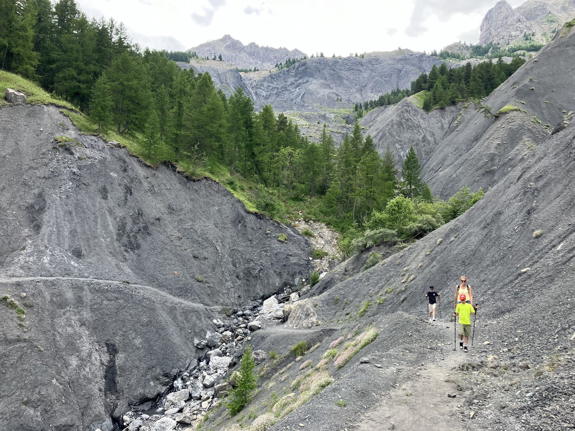
Be aware: after 5.6 km until 6 km of your route the path becomes hard to find, because of bad signing. From that point there are multiple paths. Stay going down hill in the bushy area finding the trees with the yellow sign.
Información de llegada
Aparcamiento
Park in the first public parking space you see when you enter Sauze (1400). Then walk to the ski lift area to start your hike
Aún no hay opiniones
Rutas populares en los alrededores
-
Col de la Cayolle - circuit des lacs, Frankrijk
medioSenderismo 10,8 km -
Wandeling vanaf Halte 2000 naar meer van Terres Plaines (Jausiers, Provence-Alpes)
medioSenderismo 12,1 km -
Circuito MTB FFC n°38 : Collado de la Moutière / Cima de la Bonette
pesadoMountainbike 37,2 km -
FFC cycling circuit no. 36: La Bonette par les 2 versants et le col de Vars
pesadoCiclismo de carrera 136,8 km -
001 TransVerdon Tronçon - Du Col d’Allos à Val d’Allos Le Village
pesadoMountainbike 12,0 km -
super sauze - croix de l'alpe
pesadoSenderismo 13,0 km -
5,0
Col de la Cayolle - Col de la Petite Cayolle - Sommet du Lausson - Pas du Lausson
medioSenderismo 9,29 km -
Refuge Napoléon - Chapelle Sainte-Marie-Madeleine - Église Saint-Sébastien - Église Saint-Nicolas-de-Myre
pesadoCiclismo de carrera 78,7 km -
Église Saint-Antoine - Col de Séolane - Méolans - Méolans-Revel
medioSenderismo 10,7 km -
4,5
Jausiers - Le Canton - Cime de la Bonette - Col de la Cime de la Bonette
pesadoCiclismo de carrera 54,7 km
Senderismo y rastreo

Más de 550.000 sugerencias de excursiones, mapas detallados y un intuitivo planificador de rutas hacen de esta aplicación una herramienta imprescindible para todos los amantes de la naturaleza.

No se pierda las ofertas y la inspiración para sus próximas vacaciones
Suscribirse al boletín de noticias
Error
Se ha producido un error. Por favor, inténtelo de nuevo.
Gracias por inscribirse
Su dirección de correo electrónico se ha añadido a la lista de correo.
Viajes por Europa
Austria
Suiza
Alemania
Italia
Eslovenia
Francia
Países Bajos
Belgium
Polonia
Liechtenstein
República Checa
Slovakia
España
Croacia
Bosnia y Herzegovina
Luxemburgo
Andorra
Portugal
Iceland
United Kingdom
Ireland
Greece
Albania
North Macedonia
Malta
Norway
Montenegro
Moldova
Kosovo
Hungary
San Marino
Romania
Estonia
Latvia
Belarus
Cyprus
Lithuania
Serbia
Bulgaria
Monaco
Denmark
Sweden
Finland