


Mountain Hike – Hörnle-Zeitberg


Fotos de nuestros usuarios
-
 © Julsi pulsiCreado el 12.10.2025
 -
 © Julsi pulsiCreado el 12.10.2025
 -

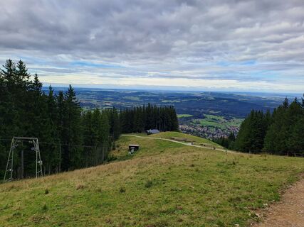
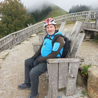
 © Armin HohendorfCreado el 12.10.2025
 -
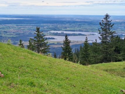
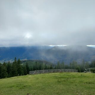
 © Armin HohendorfCreado el 12.10.2025
 -
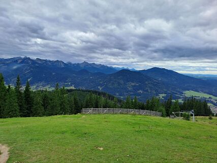
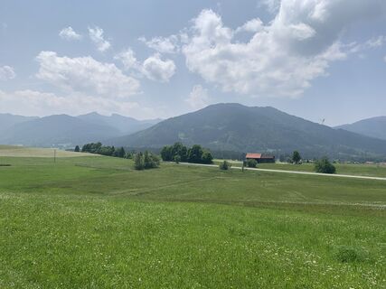
 © Armin HohendorfCreado el 12.10.2025
 -
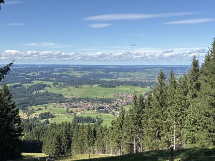
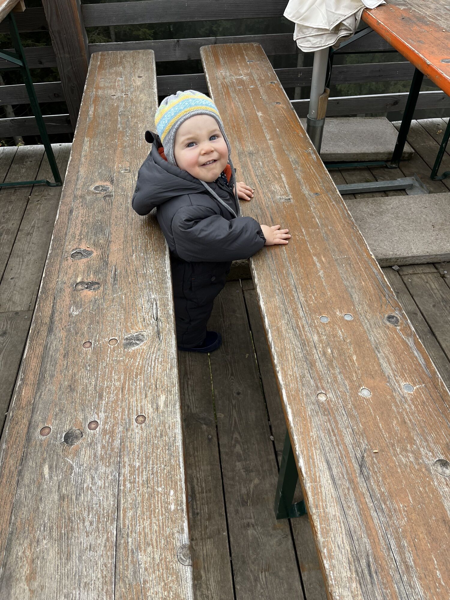
 © Armin HohendorfCreado el 12.10.2025
 -
 © Wanderbursche66Creado el 04.10.2025
 -
 © Wanderbursche66Creado el 04.10.2025
 -
 © Wanderbursche66Creado el 04.10.2025
 -
 © Wanderbursche66Creado el 04.10.2025
 -
 © Jürgen SpitzkopfCreado el 15.09.2025
 -
 © Rainer KieningCreado el 15.08.2025
 -
 © se_muckCreado el 14.08.2025
 -
 © se_muckCreado el 14.08.2025
 -
 © se_muckCreado el 14.08.2025
 -
 © se_muckCreado el 14.08.2025
 -
 © se_muckCreado el 14.08.2025
 -
 © se_muckCreado el 14.08.2025
 -
 © se_muckCreado el 14.08.2025
 -
 © Jürgen SpitzkopfCreado el 10.04.2025
 -
 © Thomas SchekiraCreado el 02.02.2025
 -
 © Thomas SchekiraCreado el 02.02.2025
 -
 © Thomas SchekiraCreado el 02.02.2025
 -
 © Jürgen SpitzkopfCreado el 29.10.2024
 -
 © Jürgen SpitzkopfCreado el 29.10.2024
 -
 © Jürgen SpitzkopfCreado el 29.10.2024
 -
 © Jürgen SpitzkopfCreado el 22.03.2023
 -
 © AndrockCreado el 08.07.2023
 -
 © mosi mönäCreado el 07.10.2025
 -
 © mosi mönäCreado el 07.10.2025
 -
 © mosi mönäCreado el 07.10.2025
 -
 © mosi mönäCreado el 07.10.2025
 -
 © mosi mönäCreado el 07.10.2025
 -
 © mosi mönäCreado el 07.10.2025
 -
 © Lorenz KleberCreado el 11.06.2025


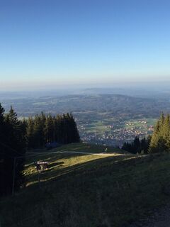
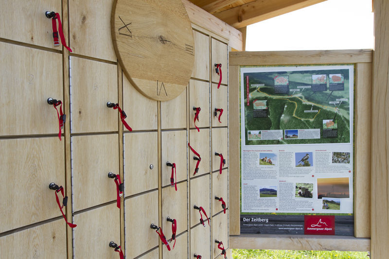
At the end of 2012, an educational trail by the name of "Zeitberg" was developed in the three Hörnle peak area. This comprises various stop-off points which provide information on the topics of "Prehistoric...
At the end of 2012, an educational trail by the name of "Zeitberg" was developed in the three Hörnle peak area. This comprises various stop-off points which provide information on the topics of "Prehistoric times" (origin of the Alps), "Breeding times" (Alpine birds), "Pasturage times" (agriculture in the Alps) and "Generation times" (development of animals in the mountain climate).
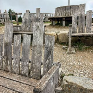
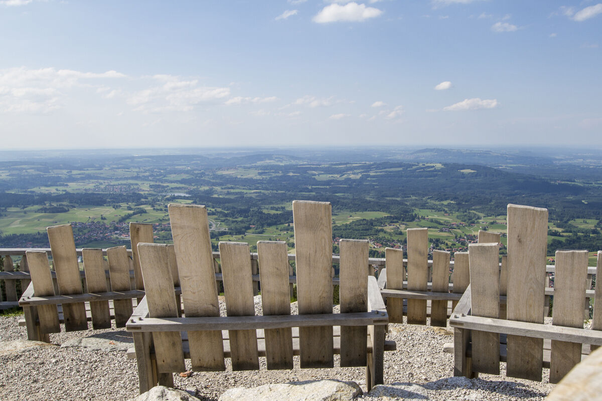
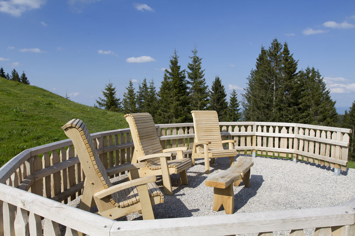
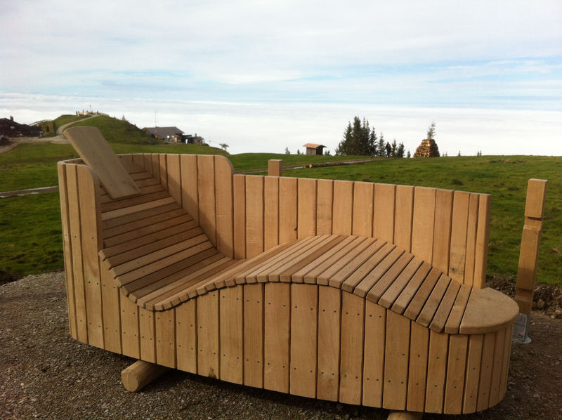
All the stop-off points also offer an opportunity to relax. A 3D nature cinema, sun loungers in the form of mudbaths, reading chairs, a games table and even massage beds have been installed up on the mountain. Further information on the Zeitberg is included in a flyer available at the valley and mountain stations of the Hörnlebahn ski lift.

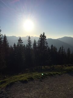
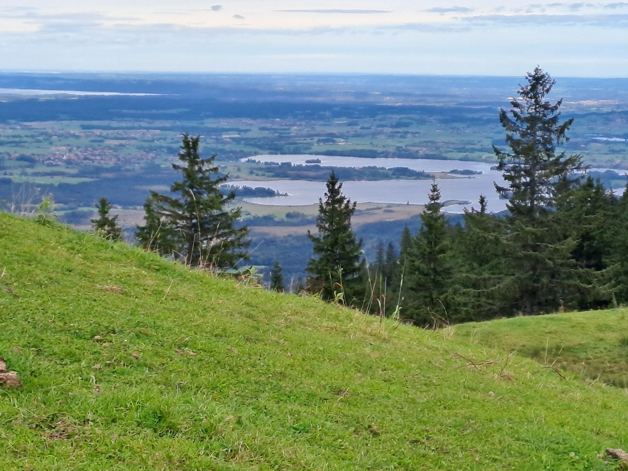
From the hiking car park in Wurmansau near the Ammertaler-Hof restaurant or at the 2radstadl Wurmansau, first follow the hiking signs to the south. Soon you will reach a crossroads where several hiking trails separate. The ascent to the Hörnle and the Zeitberg begins here.
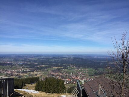
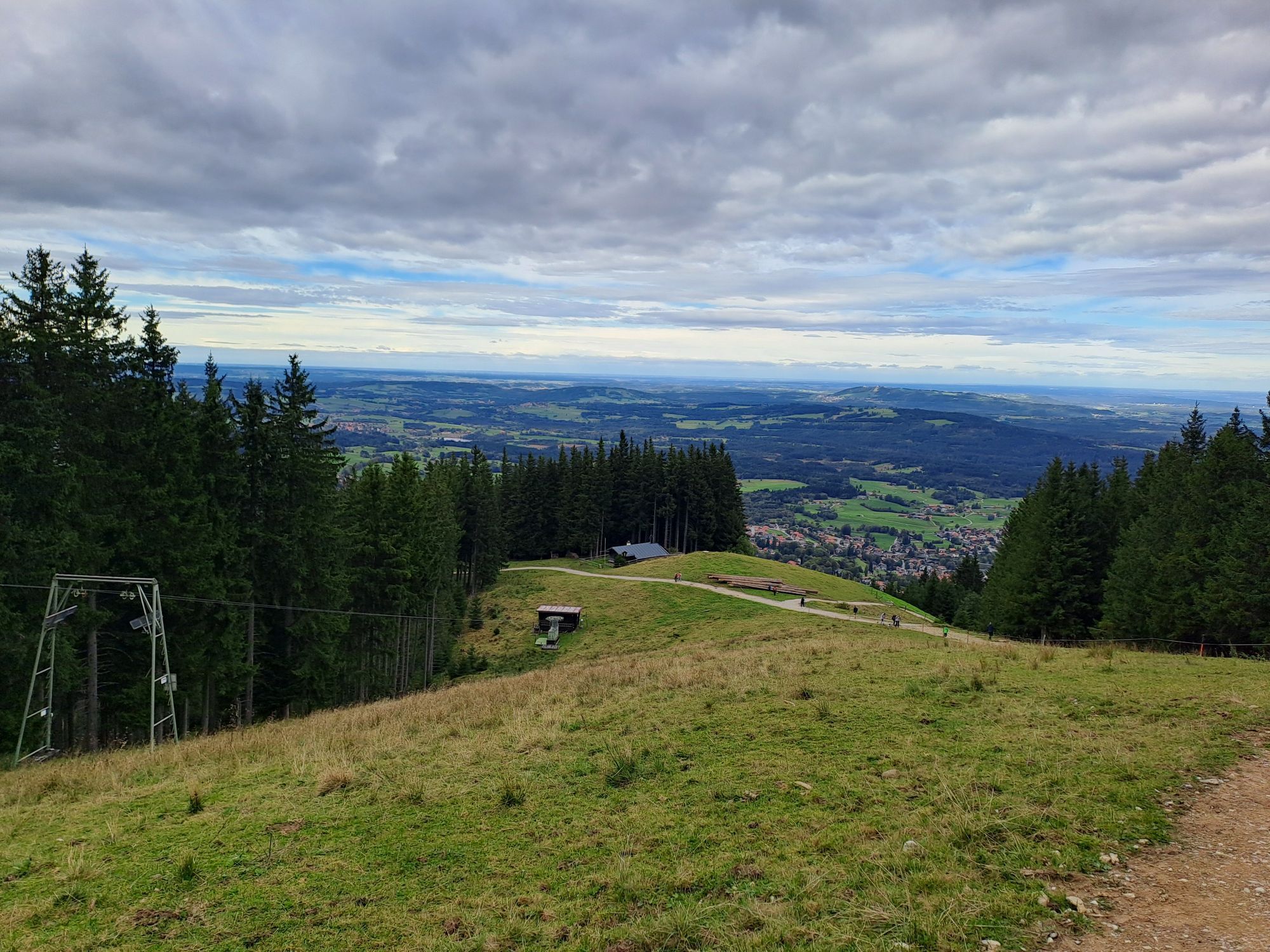
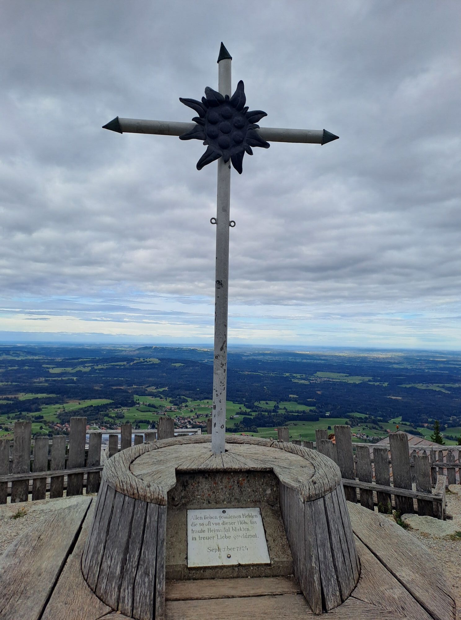
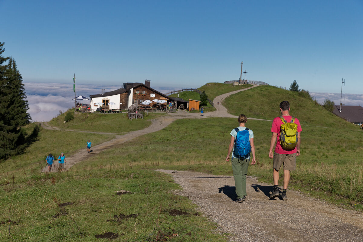
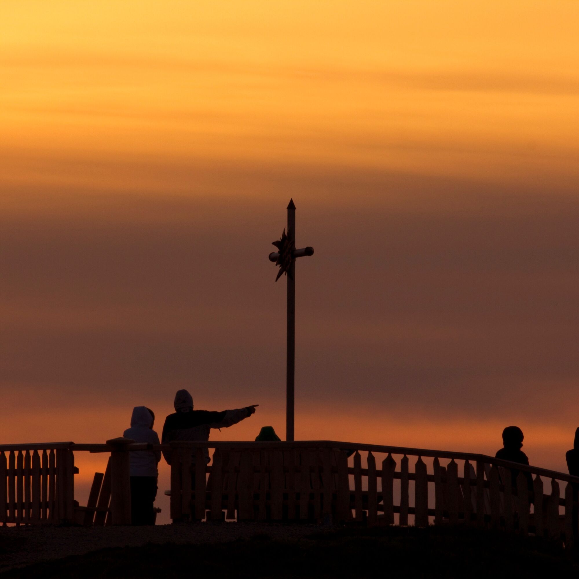
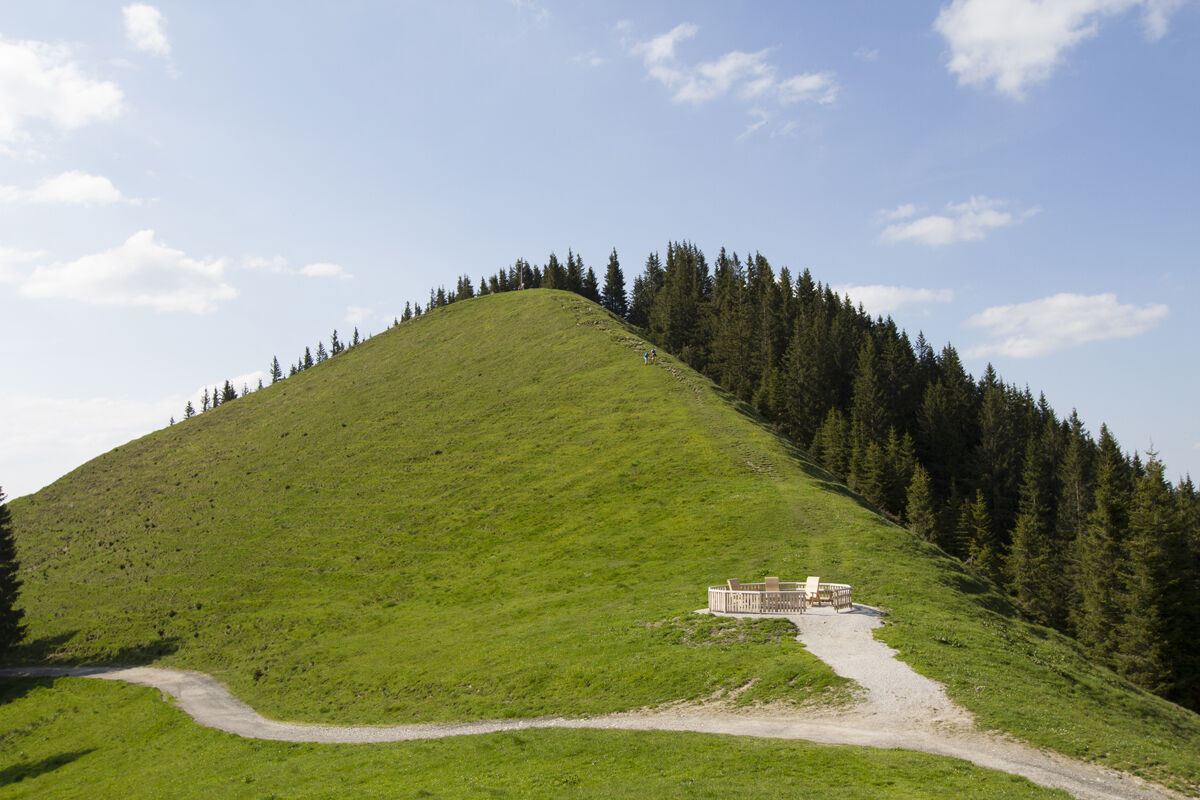
Behind the mountain station of the cable car, the circular route begins at the summit cross of the Zeitberg. You will also find the Hörnle Hut here.
Alternatively, you can also take the Hörnlebahn lift from Bad Kohlgrub to the top.
The descent is in the direction of Bad Kohlgrub. You follow the hiking signs to Sonnen and then to Kraggenau to the starting point in Wurmansau.
Sí
Sí
You can enjoy an unforgettable hiking experience in the Ammergau Alps as long as you have the right gear. Visit the "Best of Wandern" Test Centre in Bad Kohlgrub to try out the latest outdoor equipment free of charge.
- GPS devices
- rucksacks, child carriers, children's jackets
- multifunctional jackets
- hiking boots
- sticks and head lamps
- binoculars
- tour software
- snow shoes
- backpacking umbrellas
The Best of Wandern Test Centre is located at Hotel Schillingshof, directly opposite the Hörnlebahn ski lift. adress: Fallerstraße 11, Bad Kohlgrub tel.: +49 8845 7010.
For more information, visit: www.ammergauer-alpen.de/testcenter
Im Notfall verständigen Sie bitte die nächstgelegene Rettungsleitstelle. Unabhängig vom Standort erreichen Sie diese deutschlandweit unter der Telefonnummer 112.
A95 to Bad Kohlgrub via Murnau (St2062)
bus stop:Feuerwehrhaus Bad Kohlgrub
9621 Oberammergau - Saulgrub - Bad Kohlgrub - Murnau
train stop: Kurhaus Bad Kohlgrub
Murnau - Bad Kohlgrub - Oberammergau
Guests in the Ammergauer Alps Region can use their electronic guest pass or the "KönigsCard" to obtain free bus travel.
At the valley station of the Hörnlebahn or at the Tannenbankerllift
Im Winter können Sie zurück ins Tal rodeln.
Rutas populares en los alrededores
-
4,5
Teufelstättkopf / Unterammergau
medioSenderismo 12,2 km -
4,3
Excursión de montaña - Kofel
medioSenderismo 11,3 km -
4,5
Hike – Hinteres Hörnle
luzSenderismo 10,8 km -
4,9
Schafkopf
luzSenderismo 10,2 km -
3,3
Mountain Hike - Laber over Schartenköpfe
medioSenderismo 8,95 km -
4,6
Ruta de montaña - Laber sobre Soilasee
luzSenderismo 11,8 km -
4,7
Murnauer Moos
luzSenderismo 11,5 km -
3,7
Hörnle
medioSenderismo 9,23 km -
4,6
Laber - Ettaler Mandl
luzSenderismo 9,10 km -
Laber / Oberammergau
medioSenderismo 11 km
Senderismo y rastreo


No se pierda las ofertas y la inspiración para sus próximas vacaciones
Su dirección de correo electrónico se ha añadido a la lista de correo.