


Cross-country: Le Replat des Canons


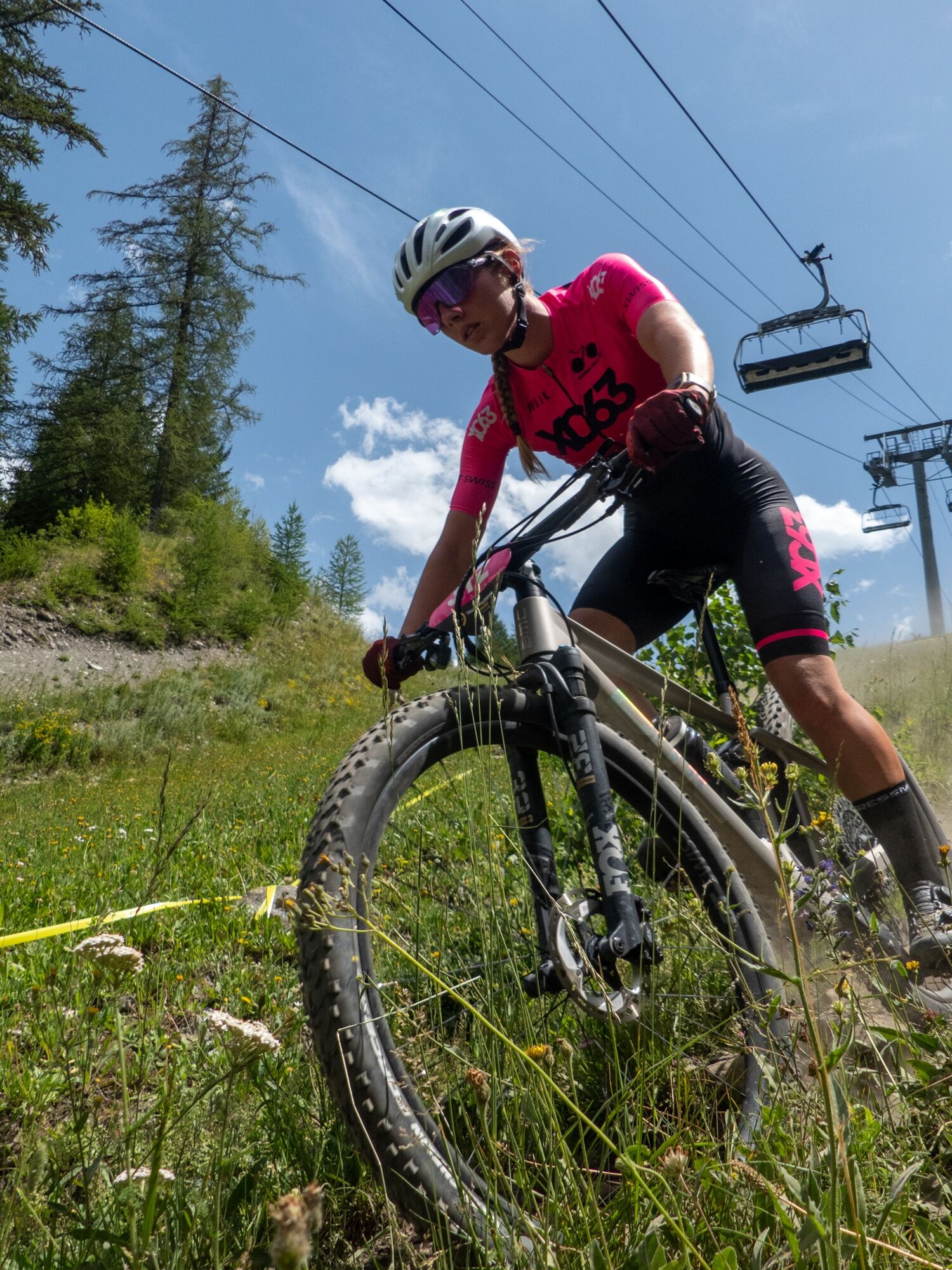
The long steady climb should be taken at a moderate, regular pace to reach the top without too much difficulty.
The ride down to Val Cenis Termignon is not technically challenging and the return to Val...
The long steady climb should be taken at a moderate, regular pace to reach the top without too much difficulty.
The ride down to Val Cenis Termignon is not technically challenging and the return to Val Cenis Lanslebourg is via the Chemin du Petit Bonheur. But first, stop at the top to admire the view over the Valley and the Vanoise mountains.


Accessible en estibus (navette équipée de porte vélo durant la saison estivale) au départ de Bonneval sur Arc, Bessans, Lanslevillard, Termignon, Sollières - Sardières, Termignon. Ou avec les navettes de TransSavoie au départ de la gare de Modane (non équipées de porte vélo)
As hazards may occur at any time on the routes, the GPX tracks provided are not contractual. They are provided for information only. Riders use them at their own risk, depending on their level of technological proficiency and their understanding of the terrain.
Rutas populares en los alrededores
-
Refuge du Fond d'Aussois - a wild valley in the Vanoise - 2-day hike
luzSenderismo 9,24 km -
The White Lake
luzSenderismo 4,42 km -
En bicicleta por el Col du Mont-Cenis desde Lanslebourg
pesadoCiclismo de carrera 9,84 km -
Sentier pédestre des Sculptures - Land Art Montagne
luzSendero temático 5,16 km -
Col du Mont-Cenis desde Modane
pesadoCiclismo de carrera 34,8 km -
Little ascent of Plan d'Aval
pesadoCiclismo de carrera 6,37 km -
4. Day
luzSenderismo 11,0 km -
2. Dag
luzSenderismo 5,86 km -
5,0
Goldtoni - Alpenbogen A068 Refuge de la Leisse-Termignon Val Cenis
medioSendero de largo recorrido 28,7 km -
Col de l'Iseran from Termignon
pesadoCiclismo de carrera 38,3 km
Senderismo y rastreo


No se pierda las ofertas y la inspiración para sus próximas vacaciones
Su dirección de correo electrónico se ha añadido a la lista de correo.