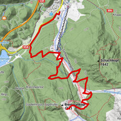
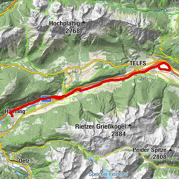
Datos del tour
43,45km
609 - 670m
Distancia
211hm
203hm
Ascenso
02:41h
 
Duración
Dificultad
fácil
Valoración
Técnica
Nivel
Paisaje
Experiencias
La mejor temporada
ene
feb
mar
abr
may
jun
jul
ago
sep
oct
nov
dic
Punto álgido
670 m
GPS Downloads
  • GPX GPS Exchange Format (XML)
  • KML Google Earth, Google Maps
Códigos de descarga QR para teléfonos móviles
Más circuitos por las regiones

Excursiones opcionales por los alrededores

Sunnalm, Biberwier

medio Mountainbike
6,08km | 587hm | 02:30h

Zur Hochalm und Osterfelderkopf

difícil Mountainbike
35,16km | 1459hm | 03:30h

Elmauer Alm

difícil Mountainbike
31,55km | 737hm | 03:27h

Lehnberghaus, Mieminger Kette

medio Mountainbike
5,01km | 430hm | 01:30h