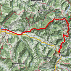
Gibswil – Ghöch – Steg: «Waldwanderung»

Senderismo

© Outdooractive Redaktion - Wolfgang Gleirscher


- Breve descripción
-
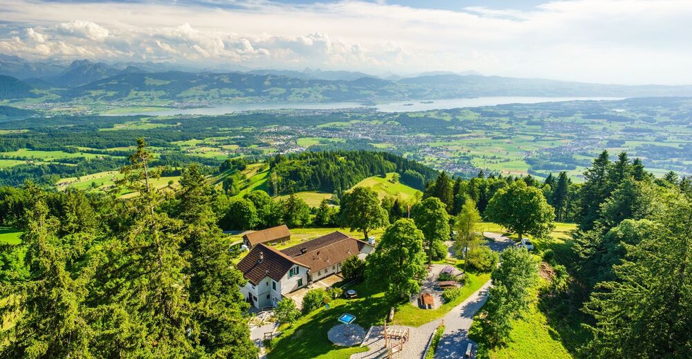
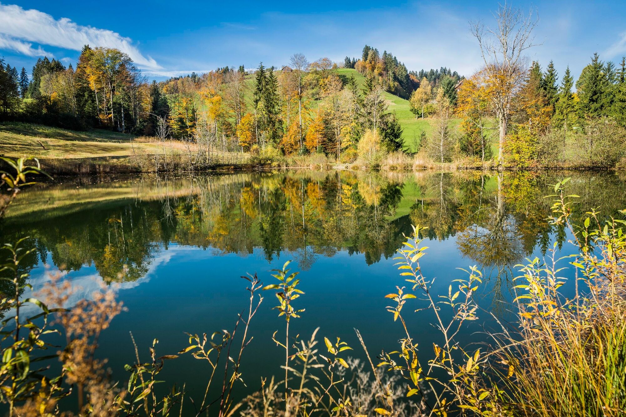
Die rund fünfstündige Wanderung bringt Sie von Gibswil über den Bachtel und das Ghöch nach Steg. Die Wanderung führt überwiegend durch Wälder und nur wenige Wegabschnitte sind asphaltiert.
- Dificultad
-
medio
- Valoración
-
- Ruta
-
Gibswilerstube0,1 kmGibswil (750 m)0,2 kmWissengubel0,7 kmOberbüel2,1 kmHintersennenberg2,7 kmVordersennenberg3,1 kmBachtel (1.115 m)5,8 kmBachtel-Kulm5,8 kmBachtelturm5,9 kmHörnli (1.047 m)8,0 kmAllmen (1.076 m)8,6 kmStüssel (1.051 m)9,6 kmFerenwaltsberg10,8 kmAusflugsrestaurant Berg11,3 kmGhöch11,5 kmLandgasthof zum Steg16,0 kmSteg16,0 kmBahnhof16,3 km
- La mejor temporada
-
enefebmarabrmayjunjulagosepoctnovdic
- Punto álgido
- 1.110 m
- Punto final
-
Steg, Bahnhof
- Perfil alto
-
 © outdooractive.com

- Autor
-
La gira Gibswil – Ghöch – Steg: «Waldwanderung» es utilizado por outdooractive.com proporcionado.
GPS Downloads


Más circuitos por las regiones
-
Toggenburg
1771
-
Zürcher Oberland
596
-
Fischenthal
221