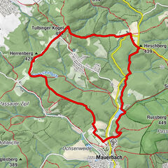
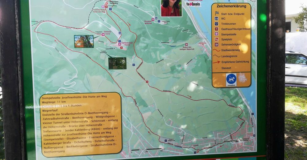
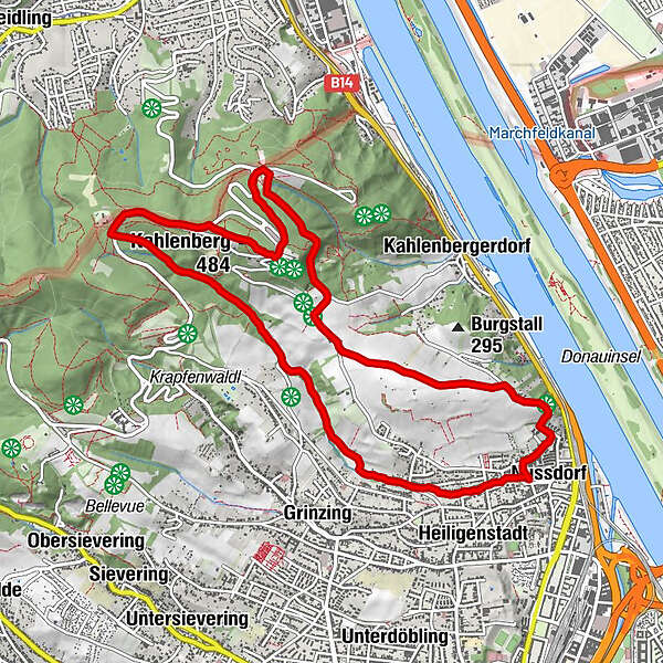
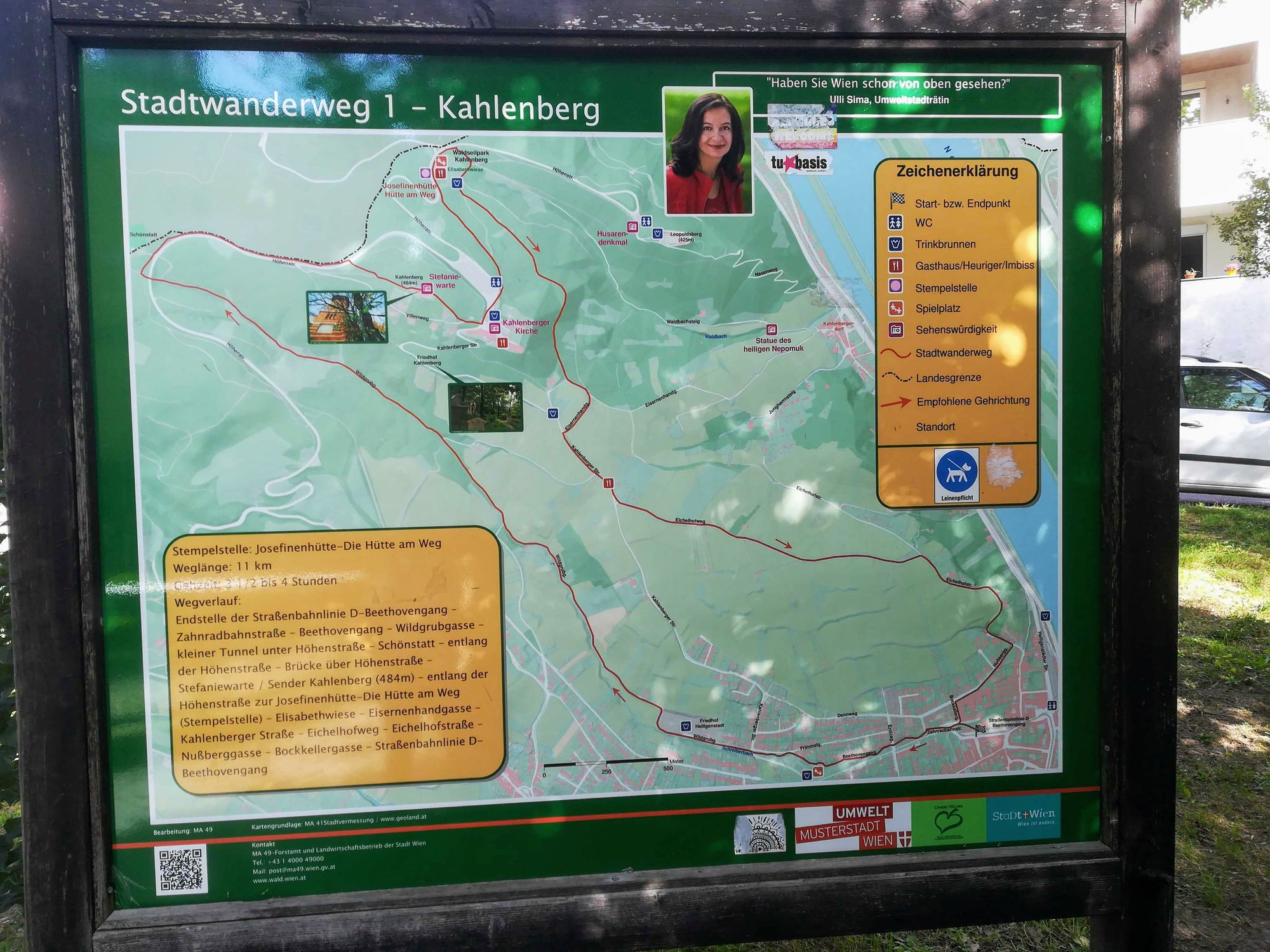
Stadtwanderweg 1 Kahlenberg (lt. Beschilderung)

Senderismo


Datos del tour
10,93km
230
- 519m
289hm
282hm
02:53h
- Breve descripción
-
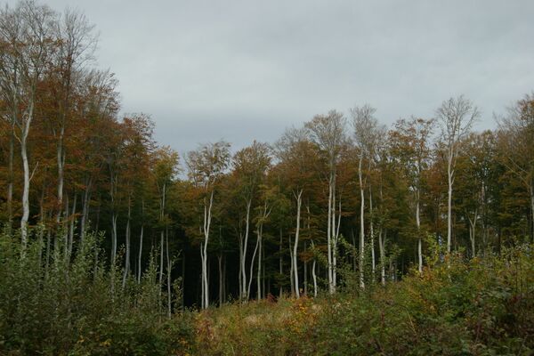
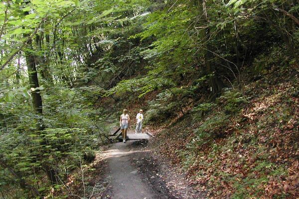
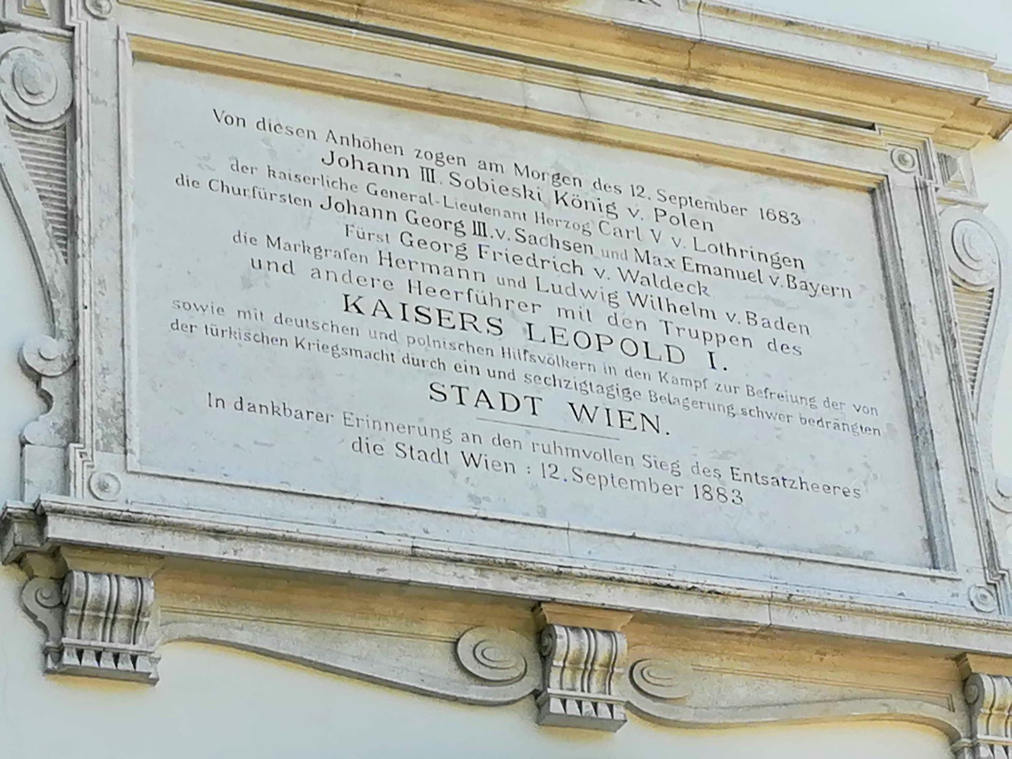
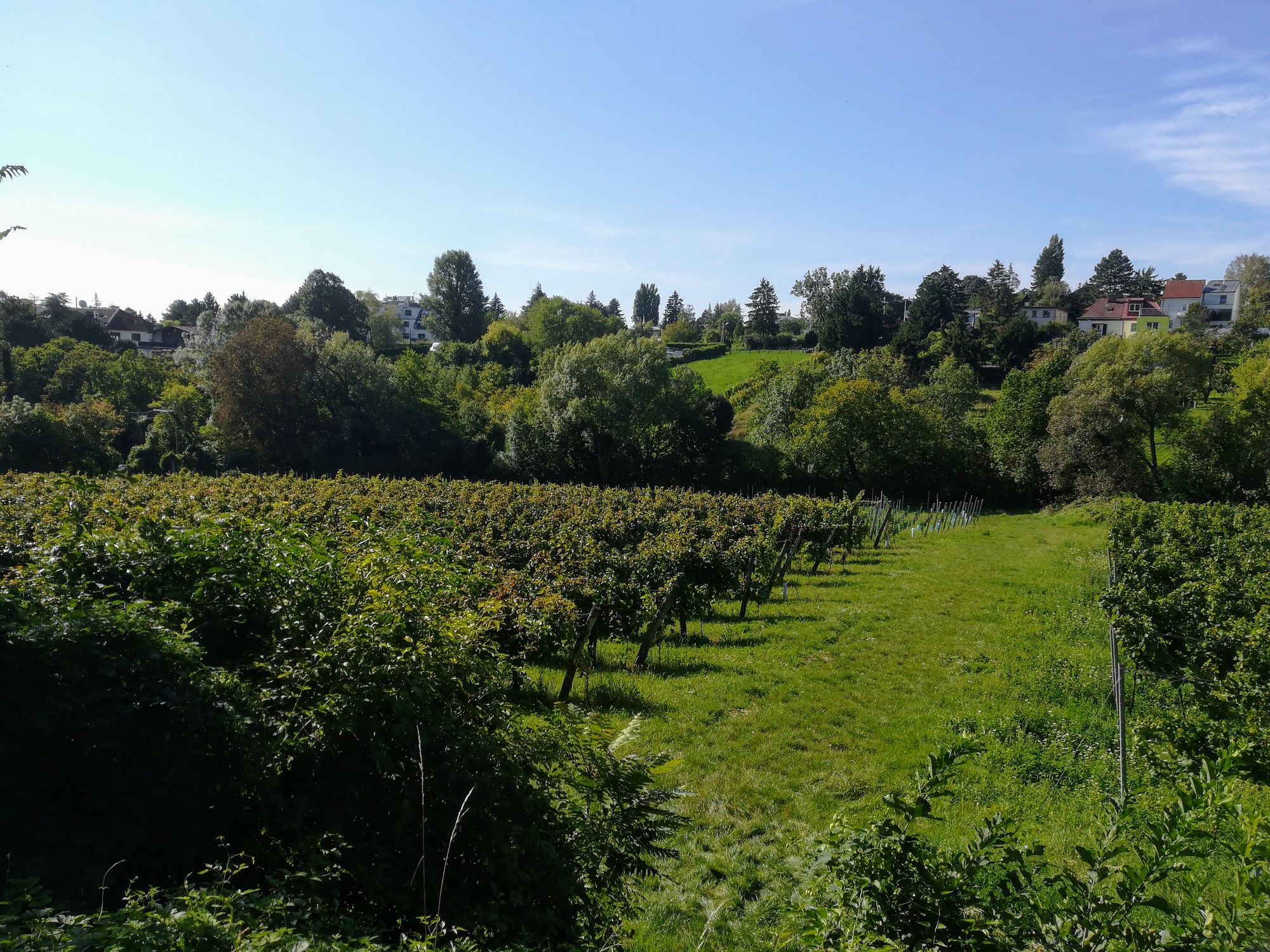
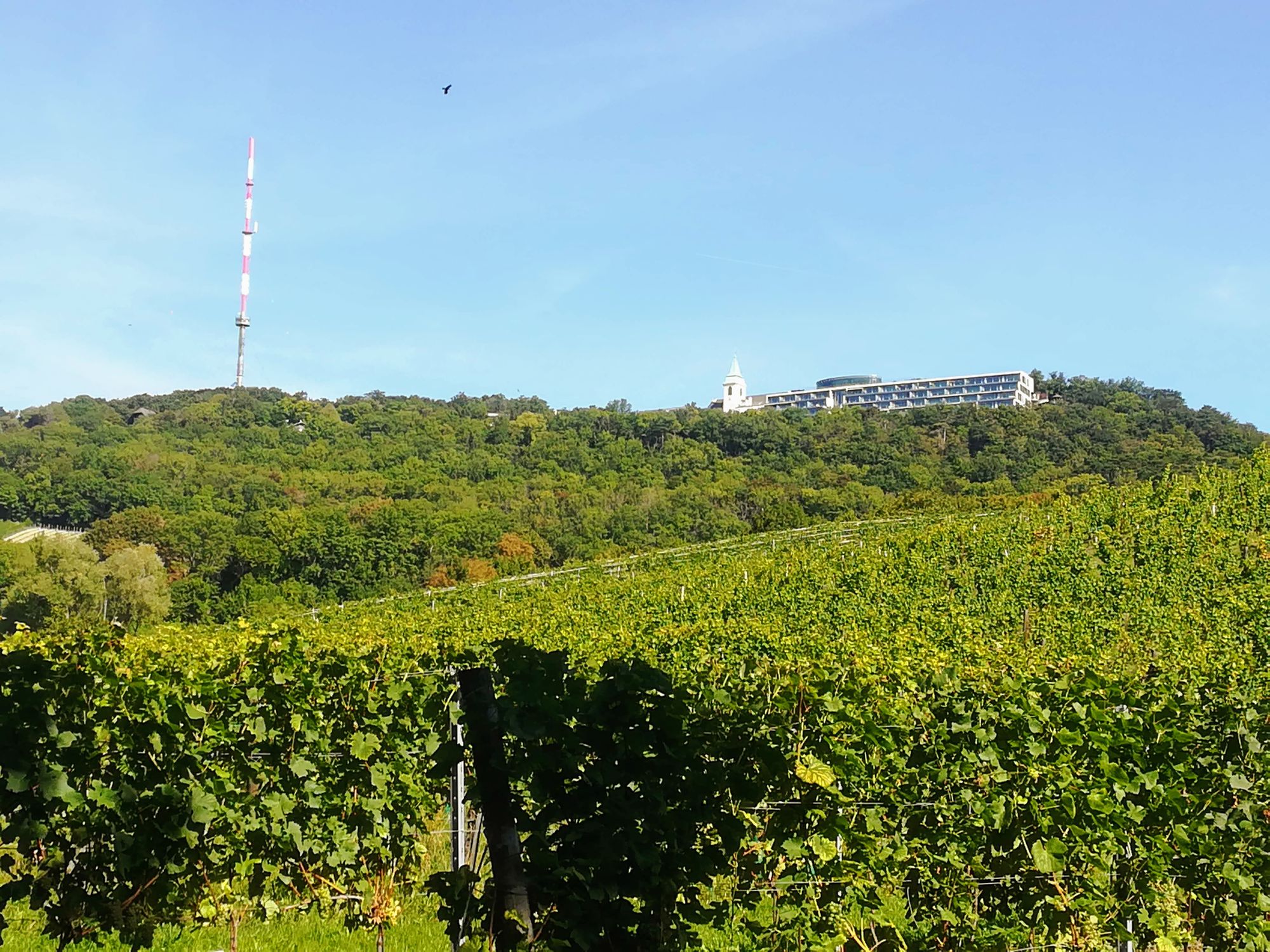
Die Wanderung bietet einen Aufstieg durch Weinberge und bewaldete Höhen sowie einen herrlichen Blick über Wien und die Donau.
- Dificultad
-
fácil
- Valoración
-
- Punto de salida
-
Straßenbahn D Endstation Nußdorf
- Ruta
-
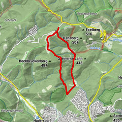
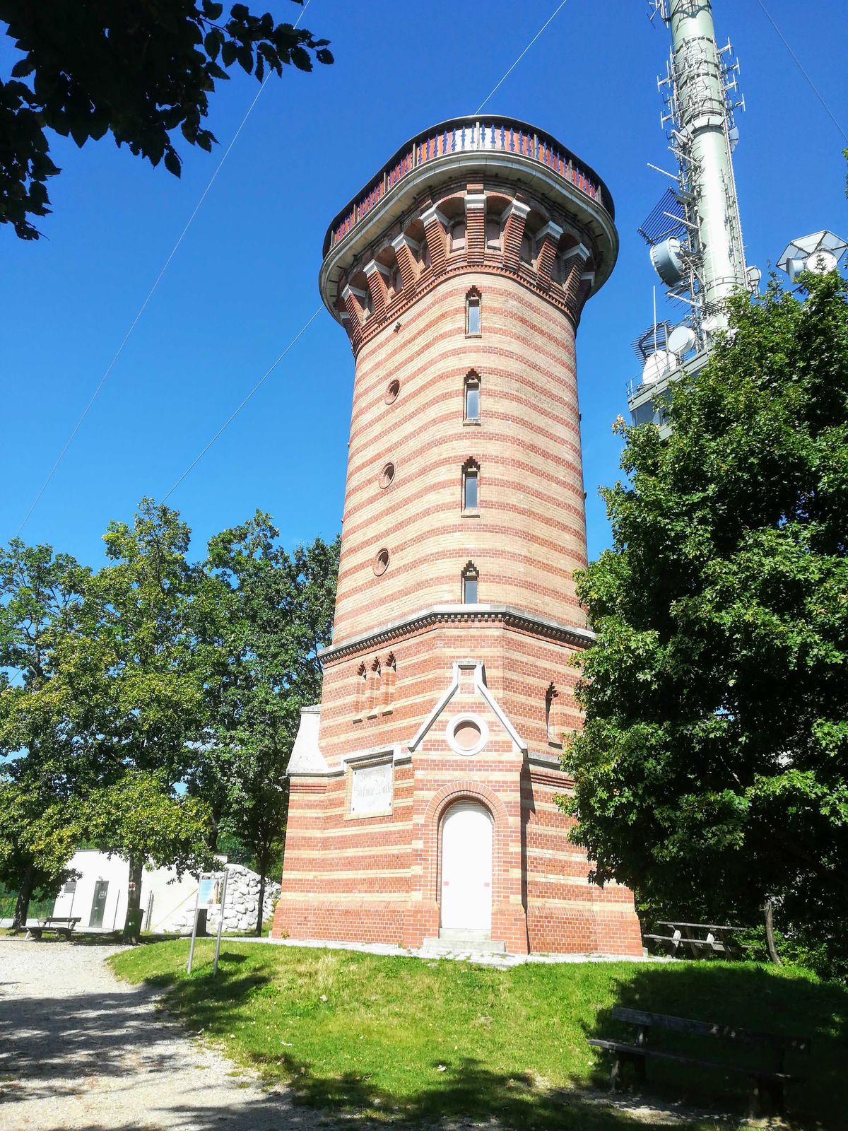
NussdorfViena (542 m)0,5 kmSchmerbern1,5 kmMukental2,0 kmWildgrube2,4 kmKahlenberg (484 m)5,5 kmJosefsdorf5,7 kmSt. Josef5,8 kmJosefinenhütte6,4 kmNußberg (342 m)8,3 kmNussdorf10,9 km
- Punto álgido
- 519 m
- Punto final
-
Straßenbahn D Endstation Nußdorf

GPS Downloads


Superficie de carretera
Asfalto
Gravilla
Pradera
Bosque
Roca
Expuesto
Más circuitos por las regiones
-
Wienerwald
4219
-
Wien und Umgebung
2481
-
Klosterneuburg
1039