- Breve descripción
-
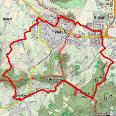
Das Herver Land liegt auf einer grünen, sanft hügeligen Hochebene im Herzen der Euregio Maas-Rhein und ist von landwirtschaftlichen Einflüssen geprägt. Apfel- und Birnensirup, Cidre und zahlreiche Käsesorten sind die kulinarischen Spezialitäten der Region.
- Dificultad
-
fácil
- Valoración
-
- Ruta
-
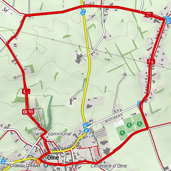
Olne0,1 kmSoumagne2,5 kmChantoir de Olne3,9 km
- La mejor temporada
-
enefebmarabrmayjunjulagosepoctnovdic
- Punto álgido
- 273 m
- Perfil alto
-
 © outdooractive.com
- Autor
-
La gira Herver Land – Rund um Olne es utilizado por outdooractive.com proporcionado.
GPS Downloads


Información general
Punto de avituallamiento
Vistas panorámicas
Más circuitos por las regiones
-
Wallonie
219
-
Weserland / Belgisch - Limburg
376
-
Dison
70