Ovelo - The High Fens between the Rur and Warche


© Tourismusagentur Ostbelgien - RSI Robertville

© Tourismusagentur Ostbelgien - RSI Robertville

© Tourismusagentur Ostbelgien - Dominik Ketz

© Tourismusagentur Ostbelgien - Dominik Ketz

© Tourismusagentur Ostbelgien - Dominik Ketz

© Tourismusagentur Ostbelgien - Dominik Ketz

© Tourismusagentur Ostbelgien - Dominik Ketz

© Tourismusagentur Ostbelgien - Dominik Ketz

© Tourismusagentur Ostbelgien - Dominik Ketz

© Tourismusagentur Ostbelgien - Dominik Ketz

- Breve descripción
-
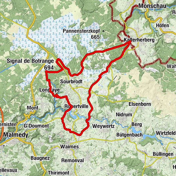
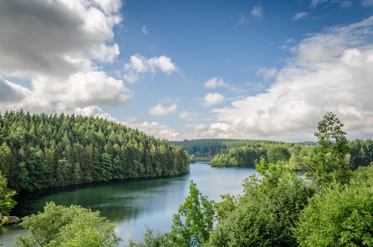
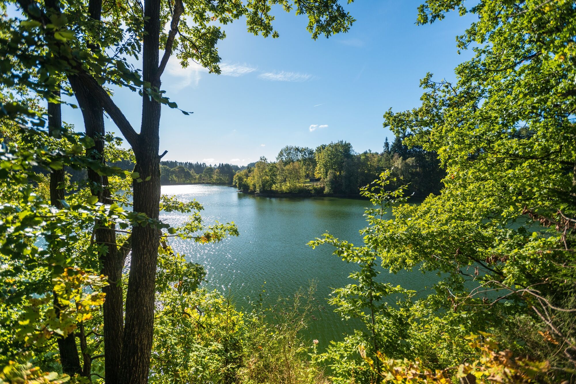
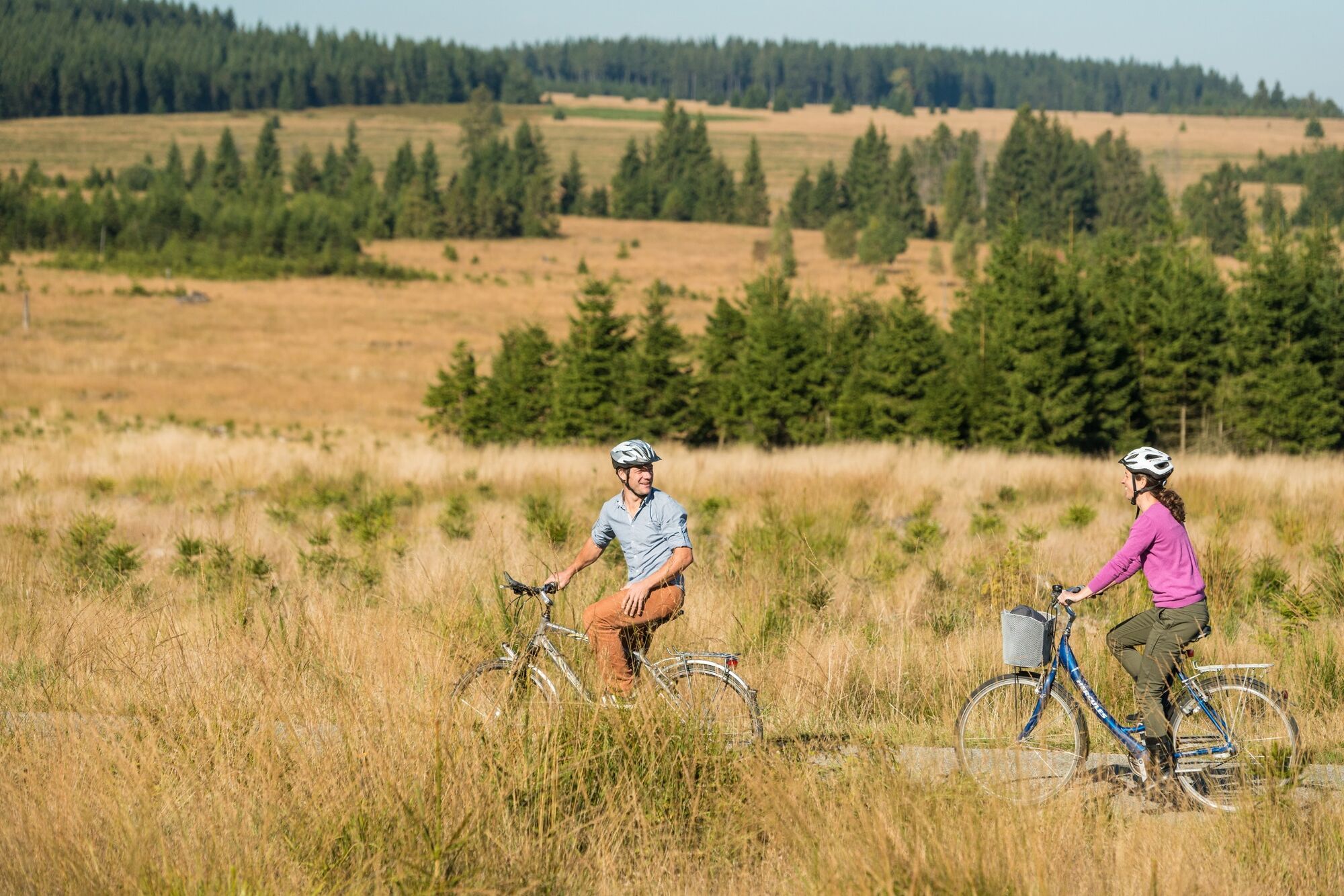
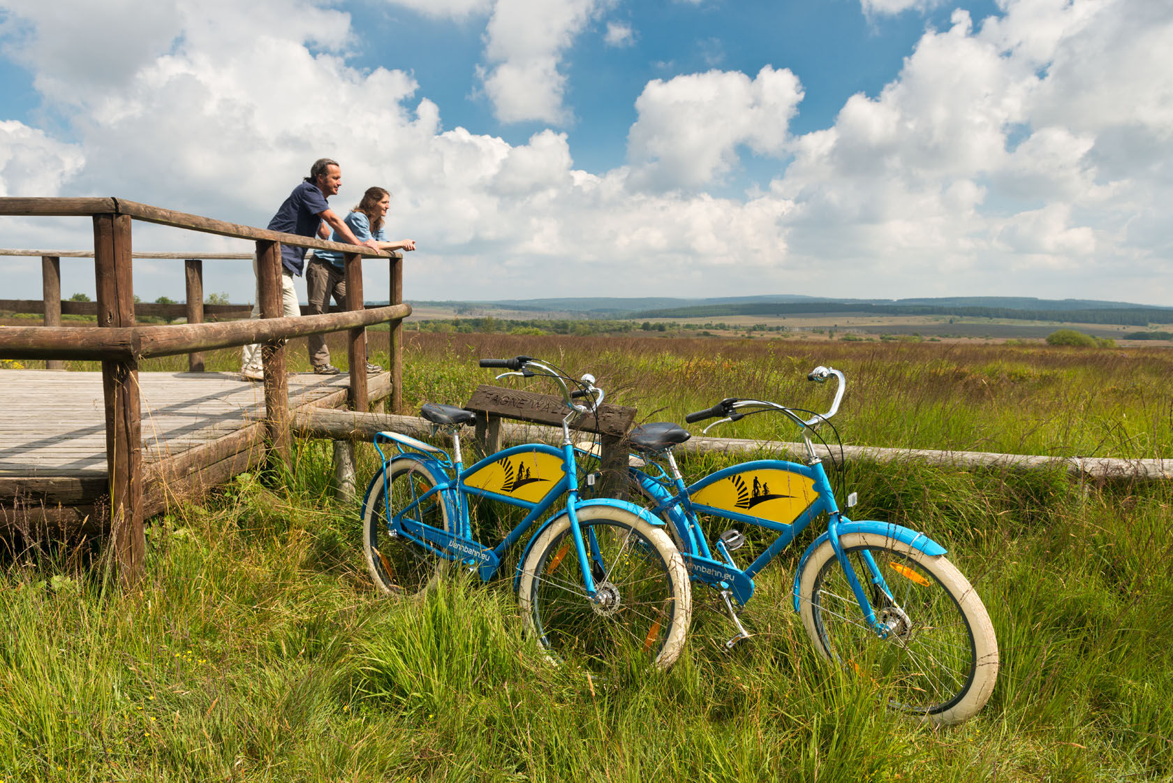
Half the tour leads through the High Fens, where forest areas alternate with expansive peat bogs. The other 20 km takes you past open pastures around the Warche and Robertville reservoir, which you cross twice.
- Dificultad
-
medio
- Valoración
-
- Ruta
-
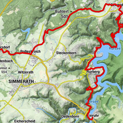
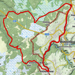
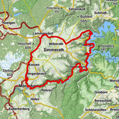
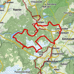
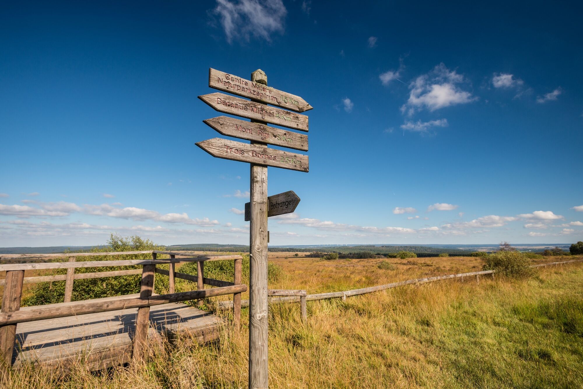
Longfaye4,3 kmChapelle Notre-Dame de Banneux4,4 kmFischvenn7,0 kmWalk9,7 kmChapelle Saint-Antoine de Padoue10,0 kmZur Heiden14,1 kmGringertz14,9 kmRestaurant La Menuiserie15,0 kmIn der Spinnerei16,6 kmNoirthier17,8 kmLeykaul27,0 kmKüchelscheid27,5 kmIm Sack29,7 kmSignal de Botrange (694 m)38,5 kmSignal de Botrange (694 m)38,7 kmLe Signal de Botrange38,7 kmBaltia-Hügel (700 m)38,7 km
- La mejor temporada
-
enefebmarabrmayjunjulagosepoctnovdic
- Punto álgido
- 693 m
- Punto final
-
Botrange, Naure parc centre, route de Botrange 313
- Perfil alto
-
 © outdooractive.com


- Autor
-
La gira Ovelo - The High Fens between the Rur and Warche es utilizado por outdooractive.com proporcionado.
GPS Downloads


Información general
Punto de avituallamiento
Flora
Vistas panorámicas
Más circuitos por las regiones
-
Eifel/ Rheinland-Pfalz
82
-
Hohes Venn
36
-
Weismes
7