

© Tourismusagentur Ostbelgien - Pierre-Alexandre Massotte

© Tourismusagentur Ostbelgien - Dominik Ketz

© Tourismusagentur Ostbelgien - Dominik Ketz

© Tourismusagentur Ostbelgien - Dominik Ketz

© Tourismusagentur Ostbelgien - Pierre-Alexandre Massotte

© Tourismusagentur Ostbelgien - Dominik Ketz

- Breve descripción
-
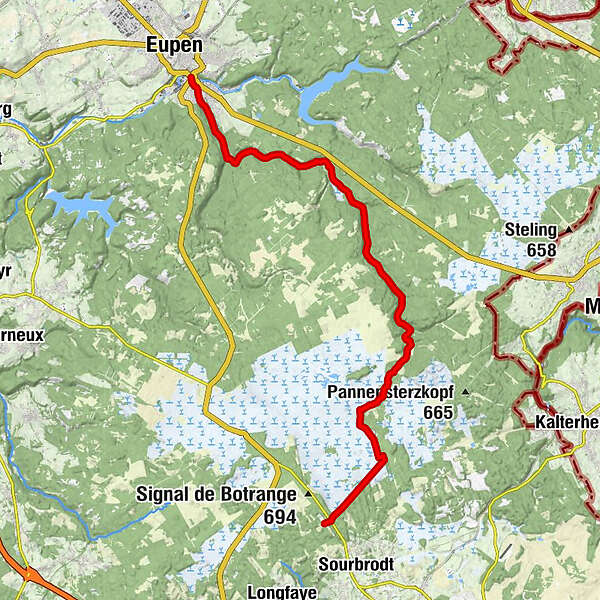
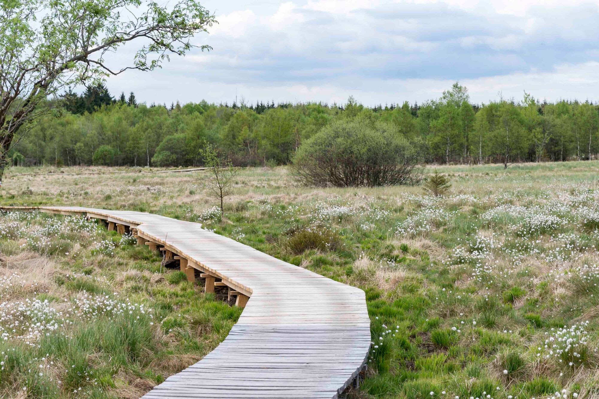
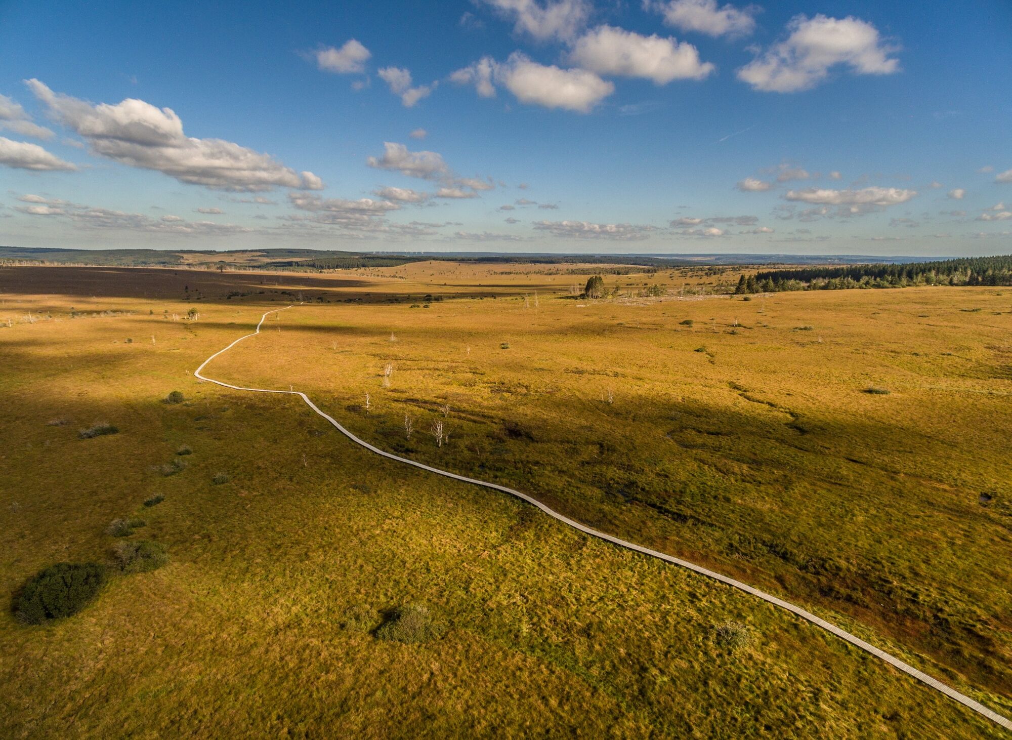
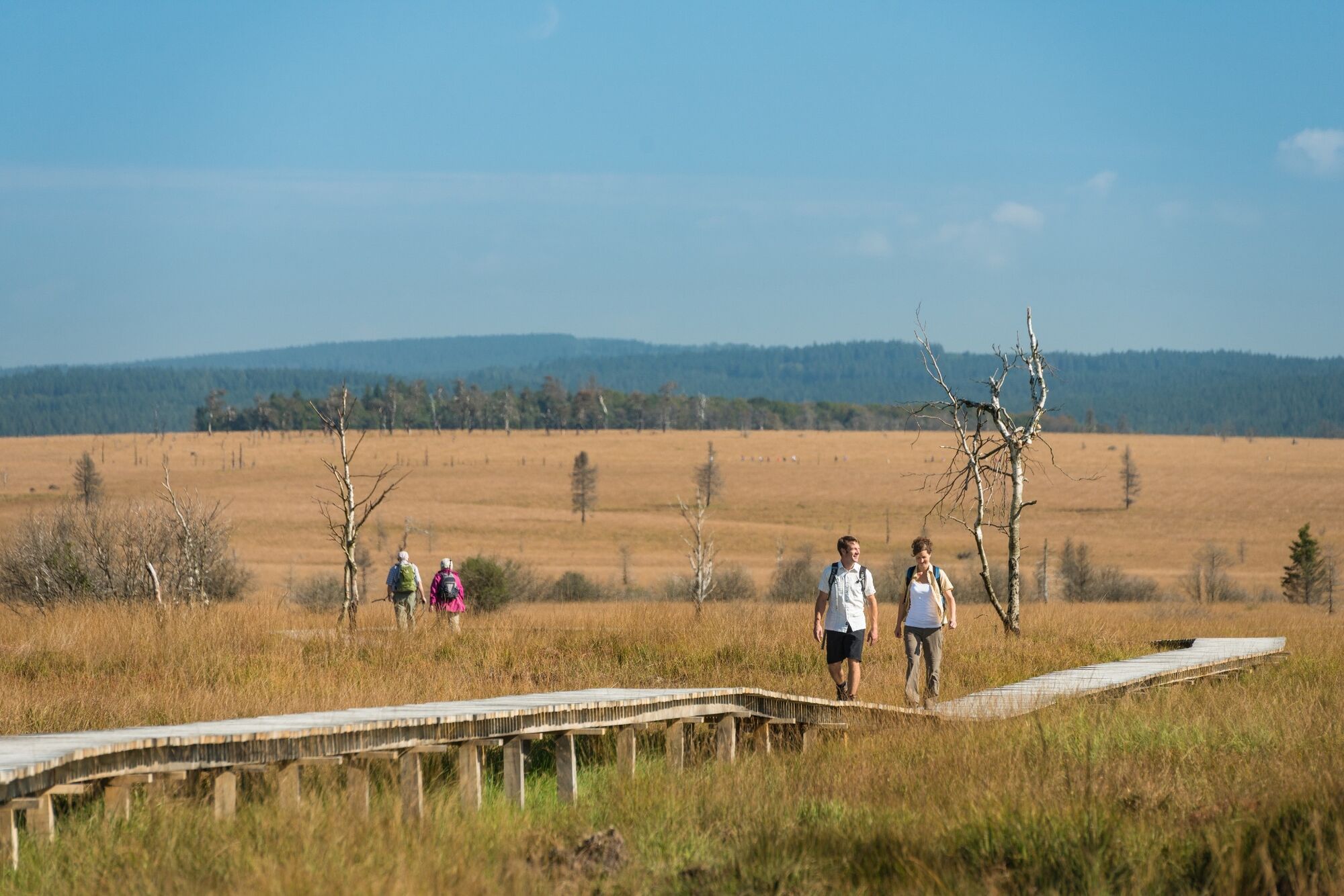
We follow the Hill through the woods of Hertogenwald, over the plateau of the High Fens to the highest point in the country.
- Dificultad
-
medio
- Valoración
-
- Ruta
-
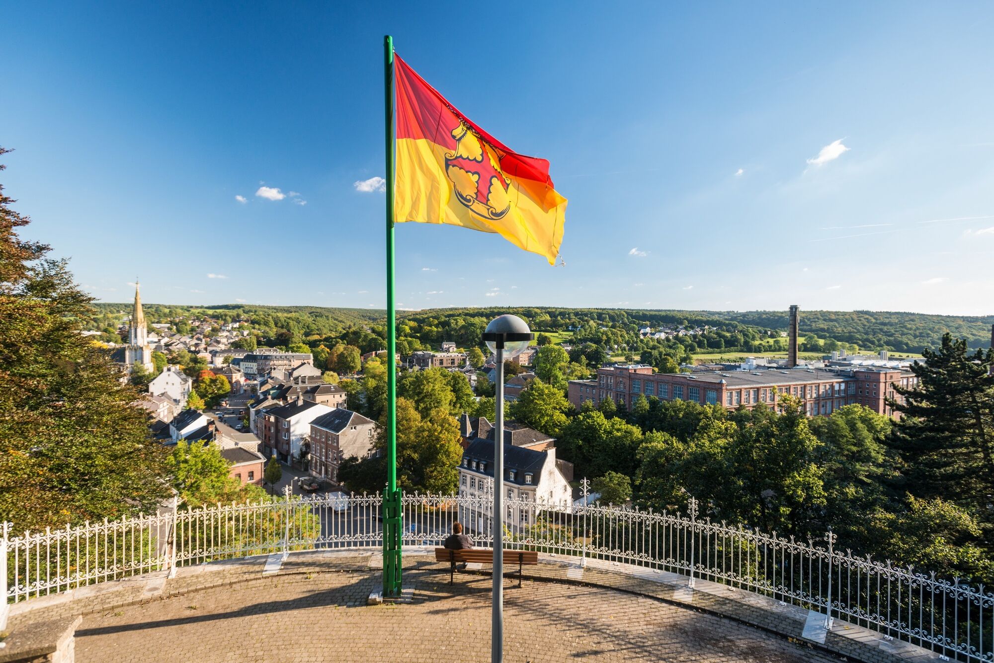
Unterstadt0,0 kmEupen0,0 km
- La mejor temporada
-
enefebmarabrmayjunjulagosepoctnovdic
- Punto álgido
- 659 m
- Punto final
-
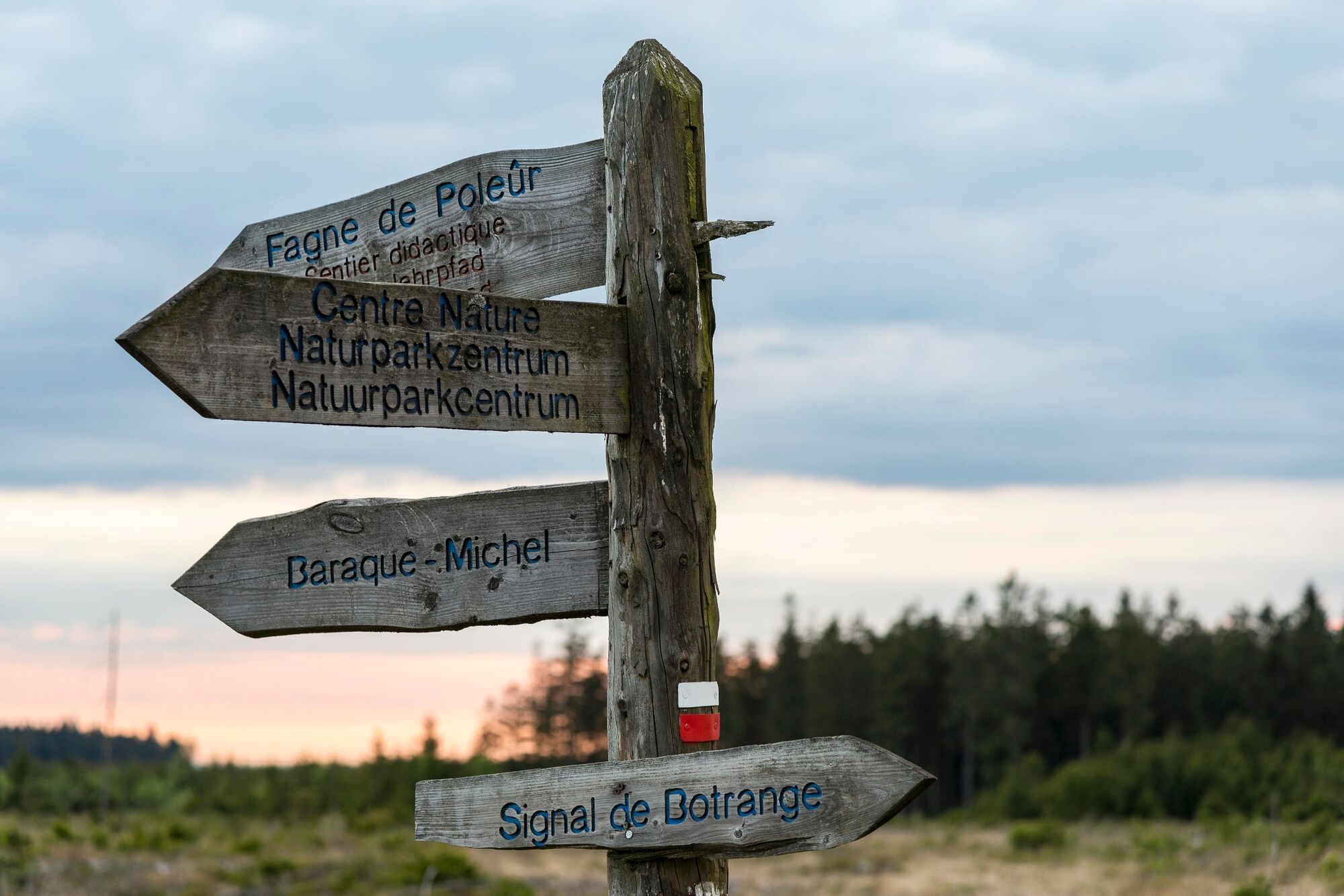
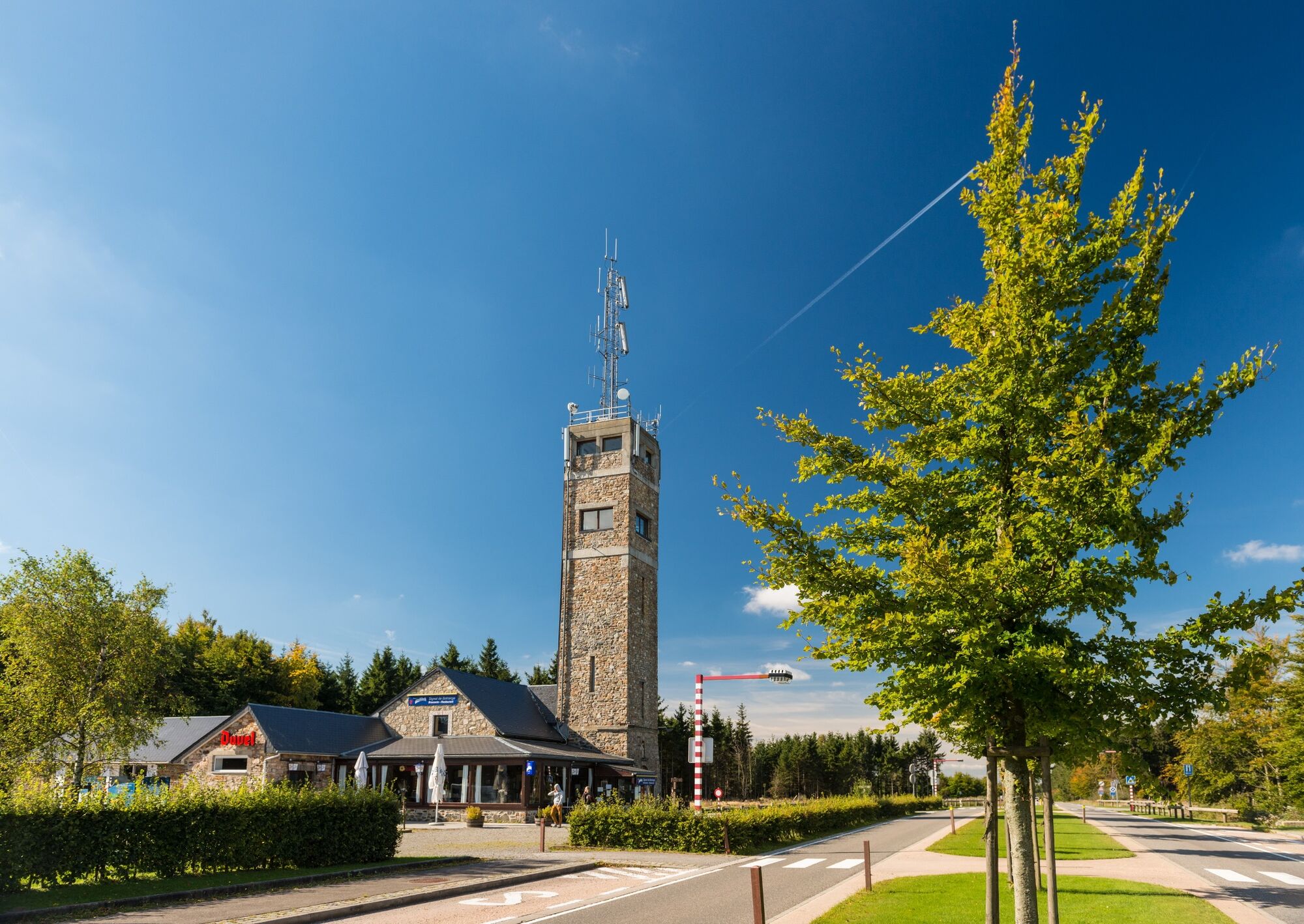
Nature Park Centre Botrange. GPS- Coordinates 50.492947,6.099772
- Perfil alto
-
 © outdooractive.com

- Autor
-
La gira GR 573 - stage Eupen – Botrange es utilizado por outdooractive.com proporcionado.
GPS Downloads


Información general
Flora
Más circuitos por las regiones
-
Hohes Venn
602
-
Eupen
108


