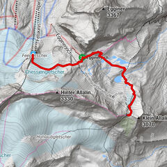
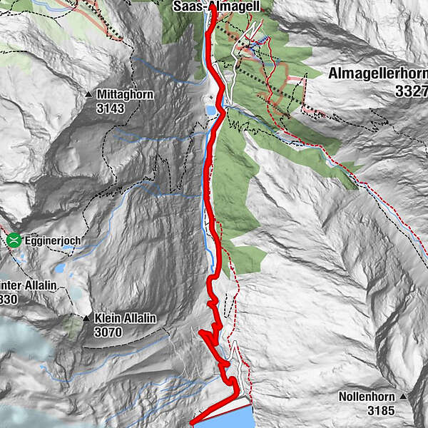
Mattmark Winter Hiking Trail

Senderismo de invierno

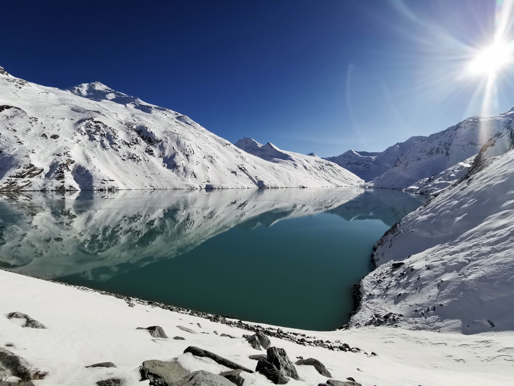
© Saas-Fee/Saastal - Michelle Bumann


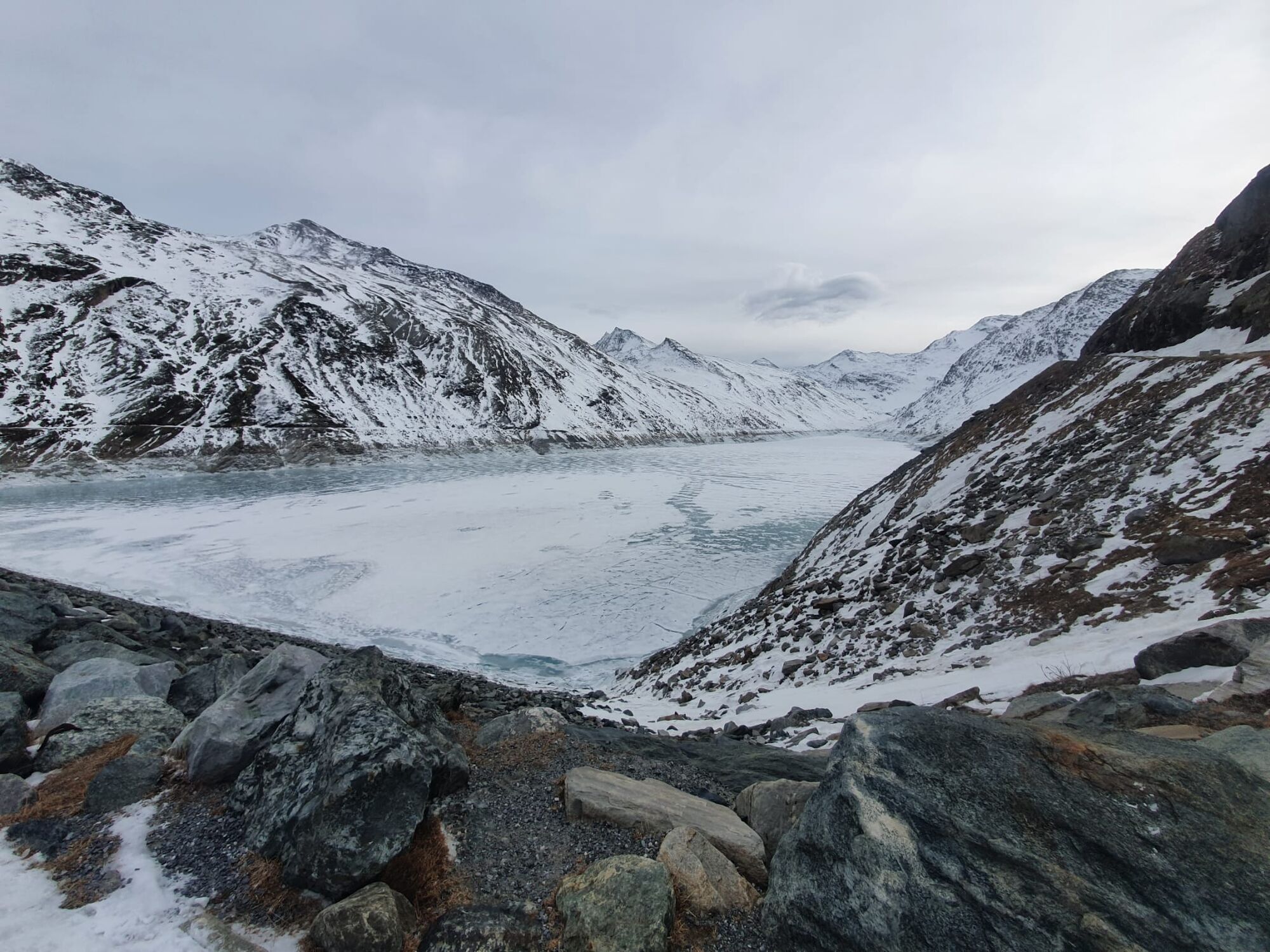
© Saas-Fee/Saastal - Michelle Bumann


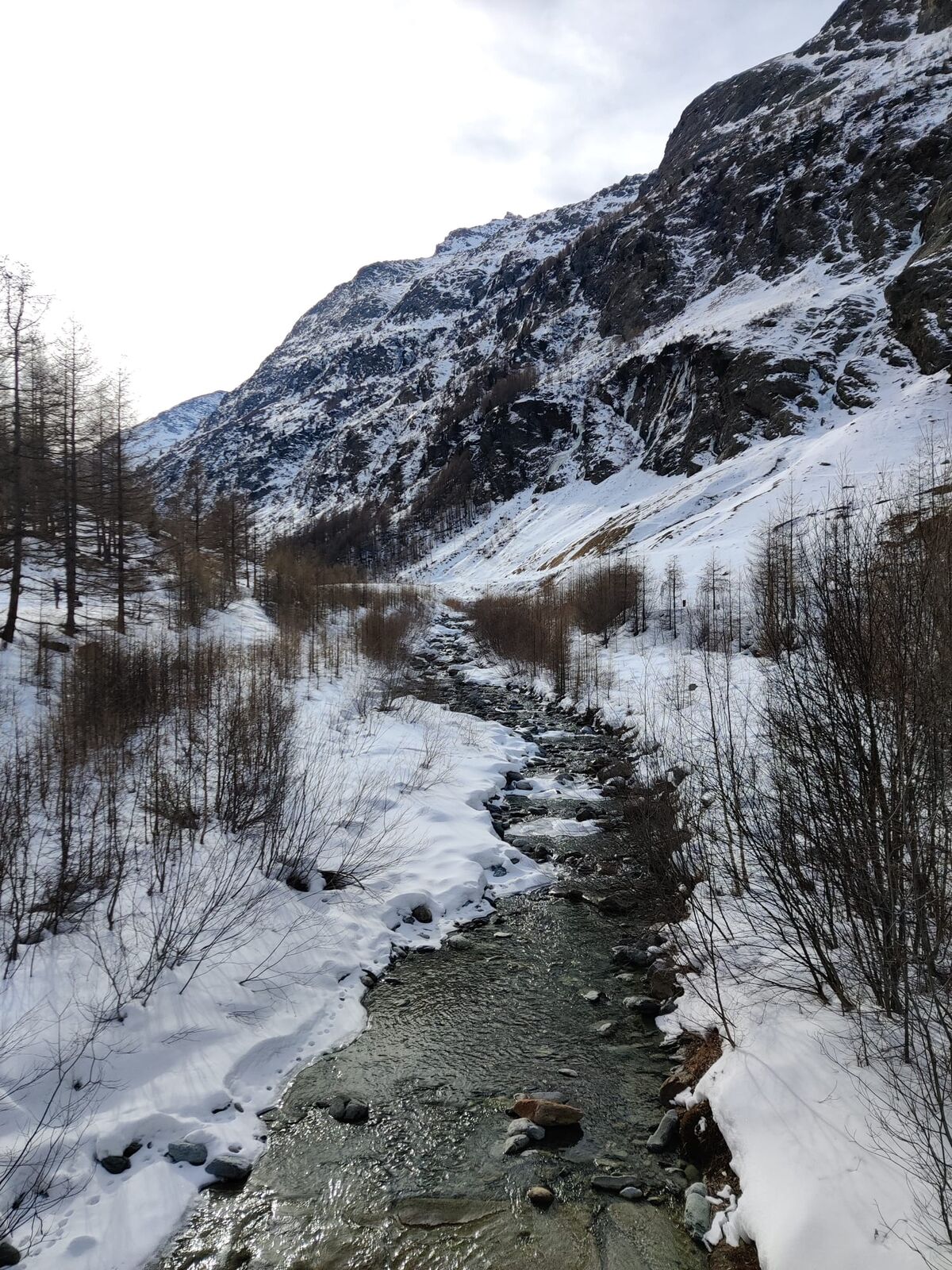
© Saas-Fee/Saastal - Michelle Bumann

© Saas-Fee/Saastal - Michelle Bumann
- Breve descripción
-
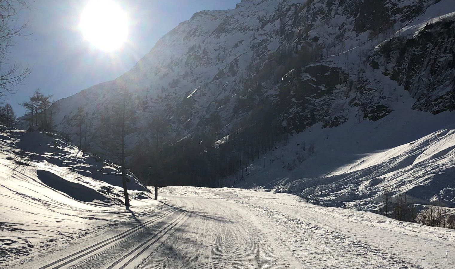
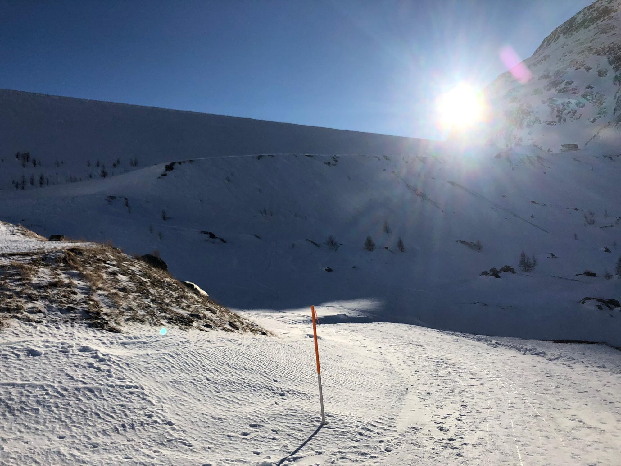
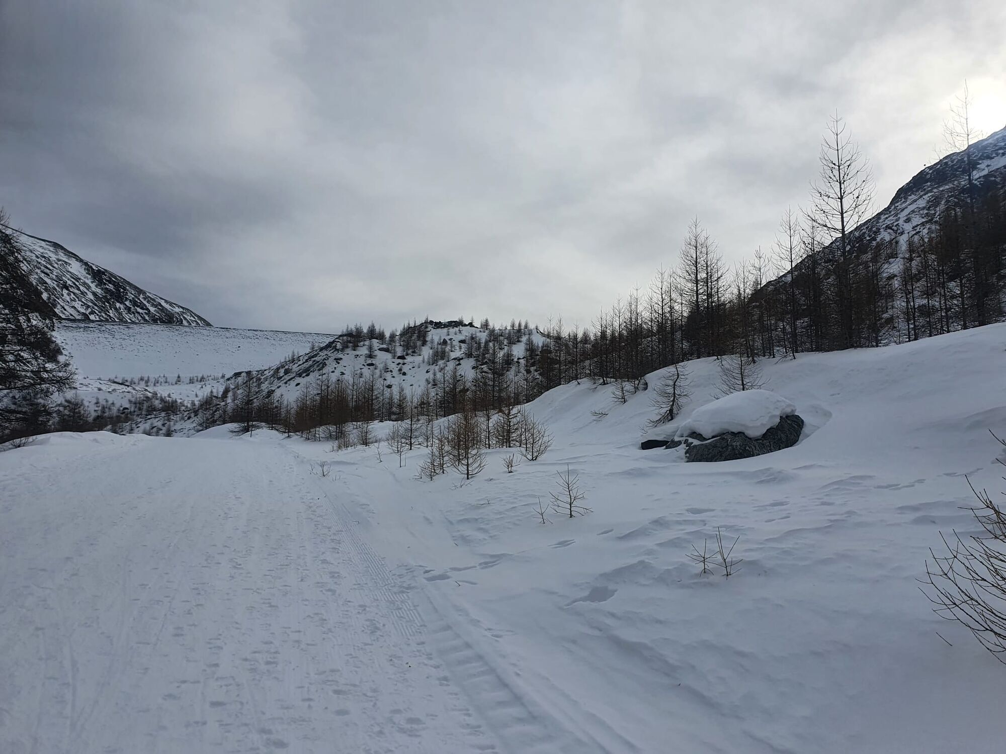
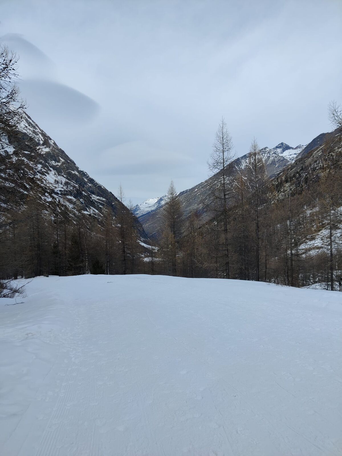
This relaxing winter hike far away from the ski slopes leads over the cross-country ski run to “Ejiu sand” (a hamlet near Saas-Almagell) and over snow-covered hills to the Mattmark Dam and back to the village
- Dificultad
-
medio
- Valoración
-
- Ruta
-
Portjengrat0,0 kmSaas-Almagell0,1 kmMattmarkblick0,1 kmMonte-Moro0,1 kmFurggstalden (1.683 m)0,2 kmFurggstalden (1.683 m)13,7 kmMonte-Moro13,7 kmMattmarkblick13,8 kmSaas-Almagell13,8 kmPortjengrat13,9 km
- La mejor temporada
-
agosepoctnovdicenefebmarabrmayjunjul
- Punto álgido
- 2.203 m
- Punto final
-
Mattmark Dam
- Perfil alto
-
 © outdooractive.com
- Autor
-
La gira Mattmark Winter Hiking Trail es utilizado por outdooractive.com proporcionado.
GPS Downloads


Información general
Secreto
Vistas panorámicas
Más circuitos por las regiones
-
Aletsch Arena
176
-
Saastal
57
-
Saas-Almagell
19