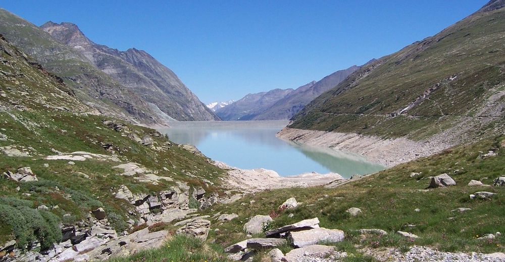
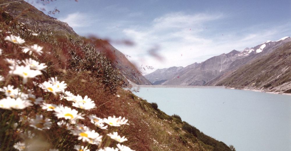
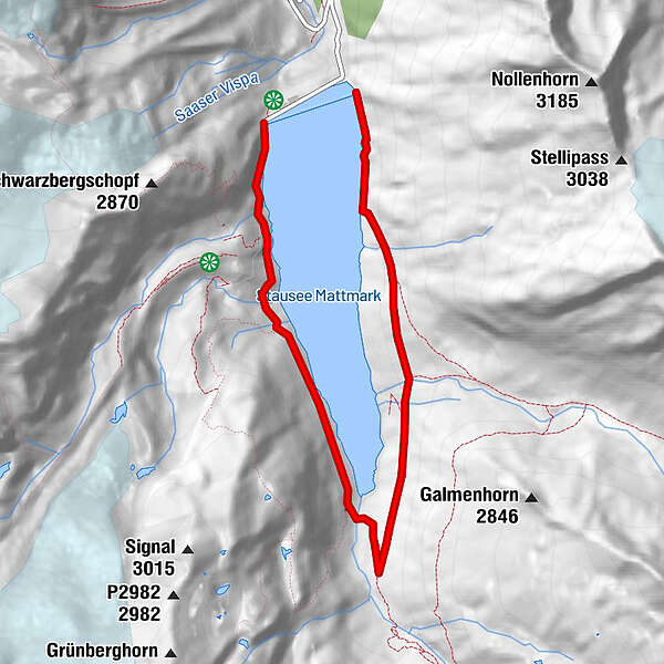
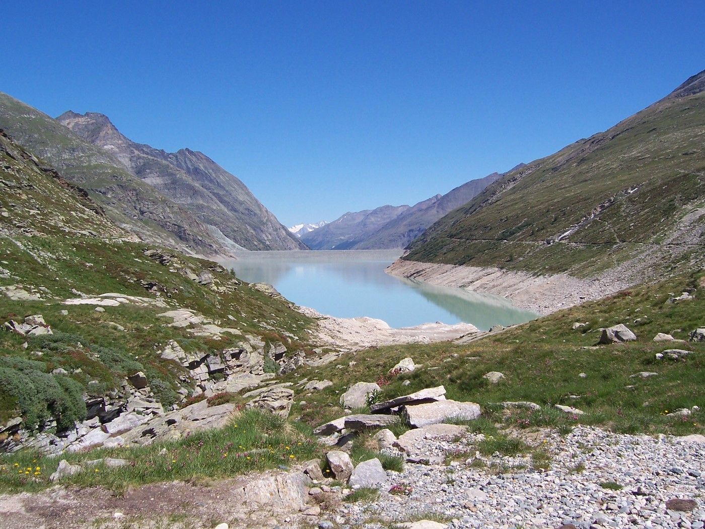
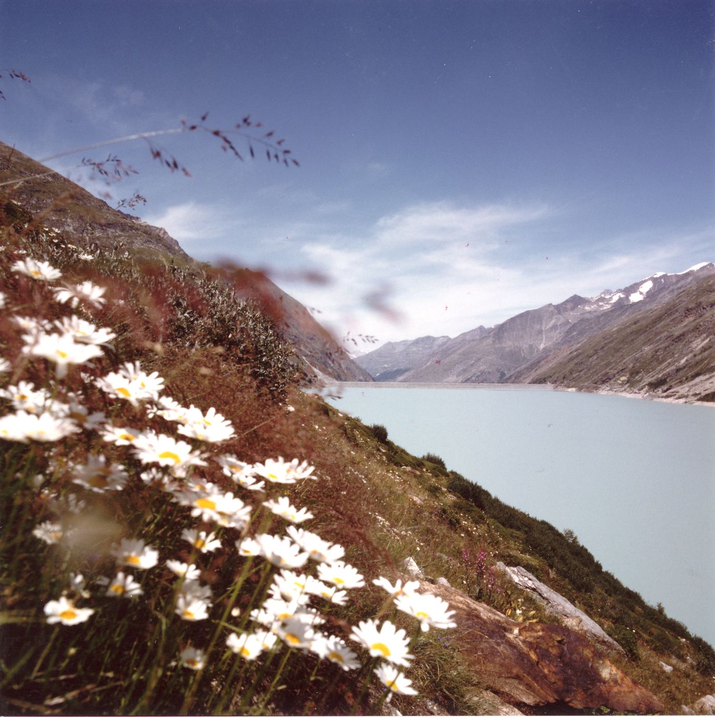
Staudamm Mattmark - Distelalp - Tälliboden - Ofental - Staudamm Mattmark

Senderismo
Datos del tour
8,01km
2.194
- 2.353m
394hm
03:30h
- Valoración
-
- Punto álgido
- 2.353 m
GPS Downloads


Más circuitos por las regiones
-
Oberwallis
1875
-
Saastal
484
-
Saas-Almagell
96
")


