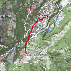
N. 11 Fenêtre d'Arpette by the bisse and the valley

Senderismo


- Breve descripción
-
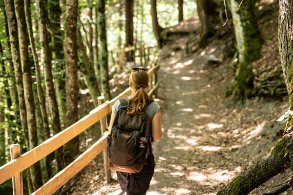
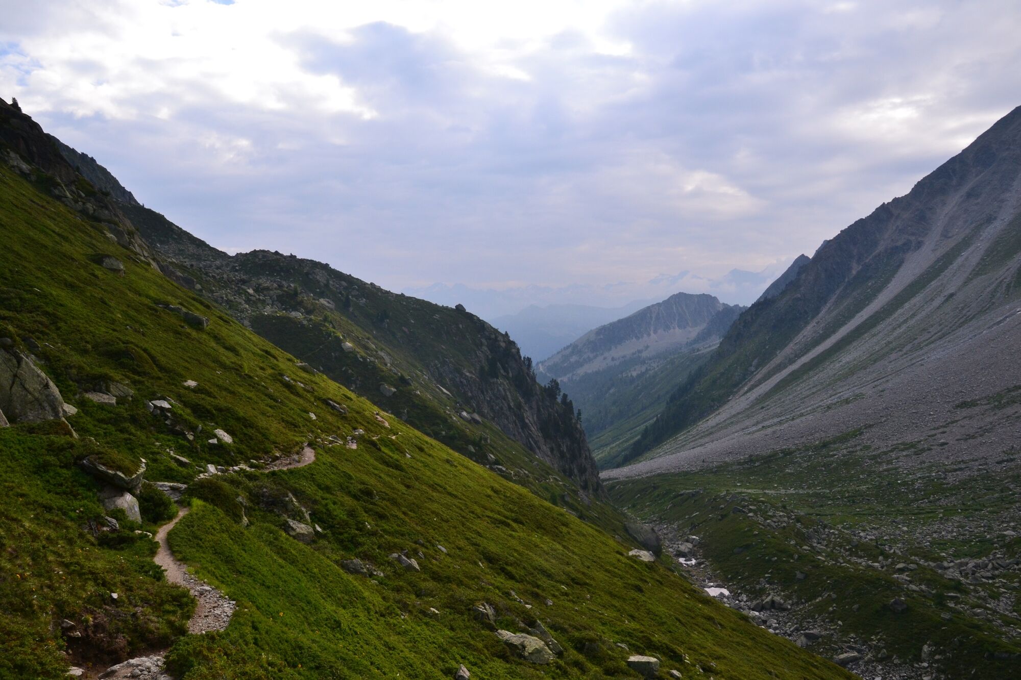
Challenging hike through the Val d'Arpette.
- Dificultad
-
difícil
- Valoración
-
- Ruta
-
Arpette1,8 km
- La mejor temporada
-
enefebmarabrmayjunjulagosepoctnovdic
- Punto álgido
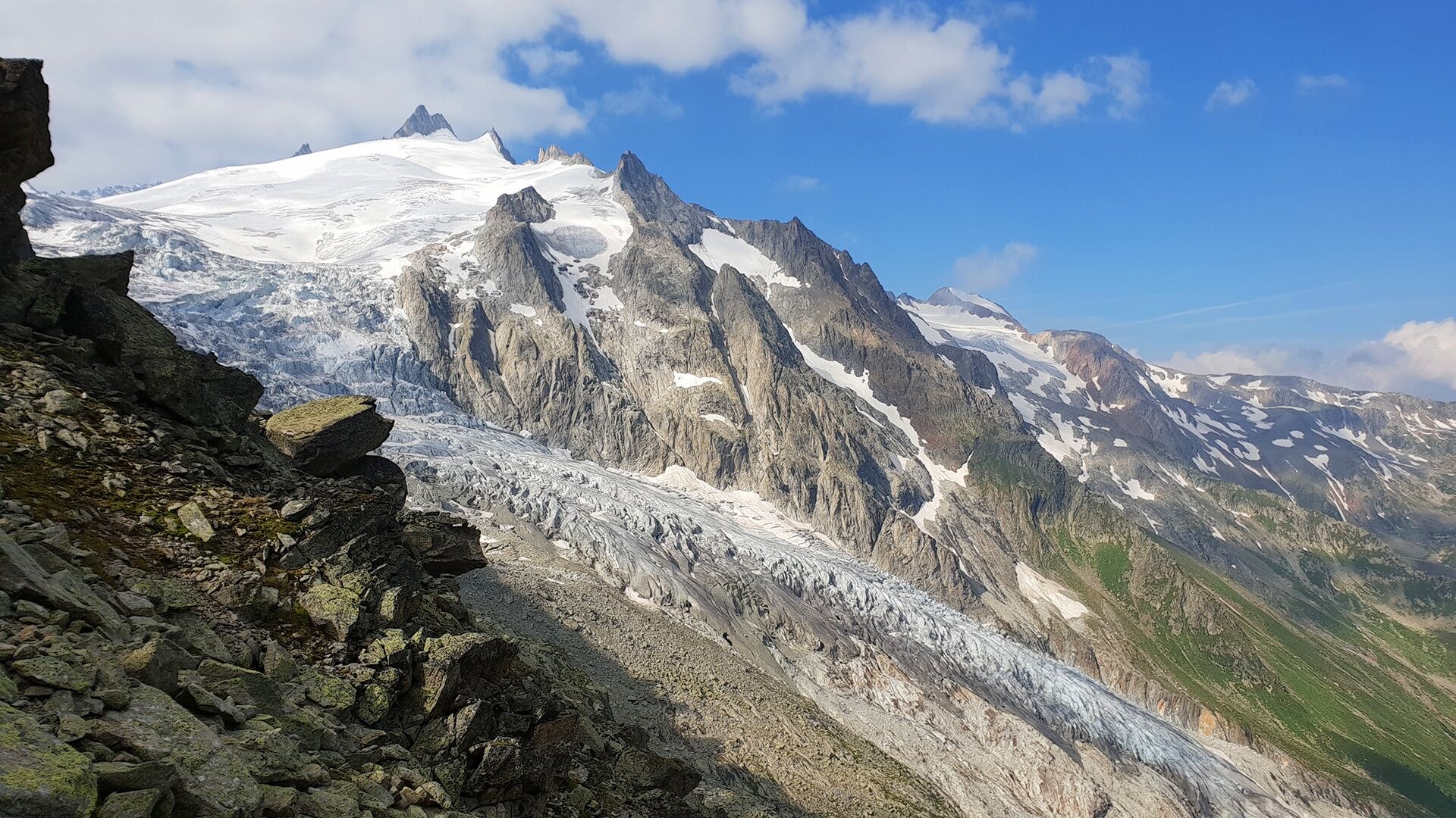
- 2.633 m
- Punto final
-
Fenêtre d'Arpette
- Perfil alto
-
 © outdooractive.com

- Autor
-
La gira N. 11 Fenêtre d'Arpette by the bisse and the valley es utilizado por outdooractive.com proporcionado.
GPS Downloads


Información general
Clima saludable
Flora
Vistas panorámicas
Más circuitos por las regiones
-
Portes du Soleil
974
-
Trient-Tal / Wallis
498
-
Champex-Lac
104