

© Zermatt Tourismus - Edith Lehner

© Zermatt Tourismus - Kurt Müller

© Zermatt Tourismus - Fabienne Fux-Schaller

© Zermatt Tourismus - Edith & Martin Lehner

© Zermatt Tourismus - Edith & Martin Lehner

© Zermatt Tourismus - Edith & Martin Lehner

© Zermatt Tourismus - Edith & Martin Lehner

© Zermatt Tourismus - Leander Wenger

- Breve descripción
-
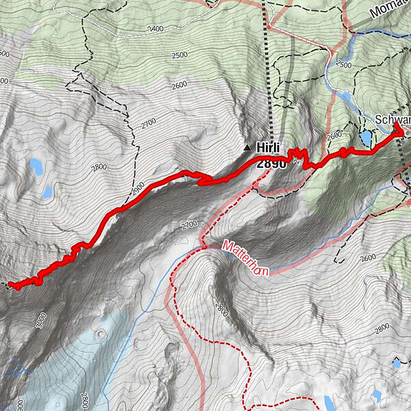
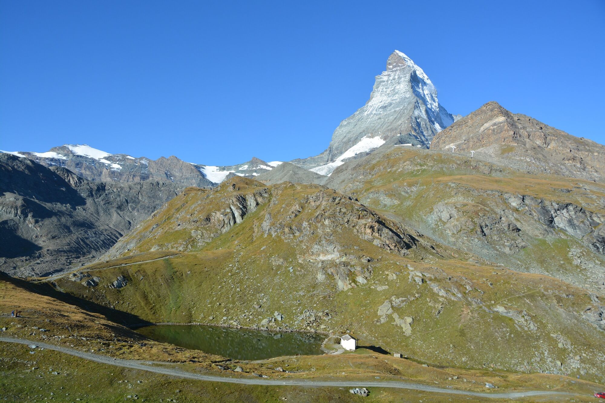
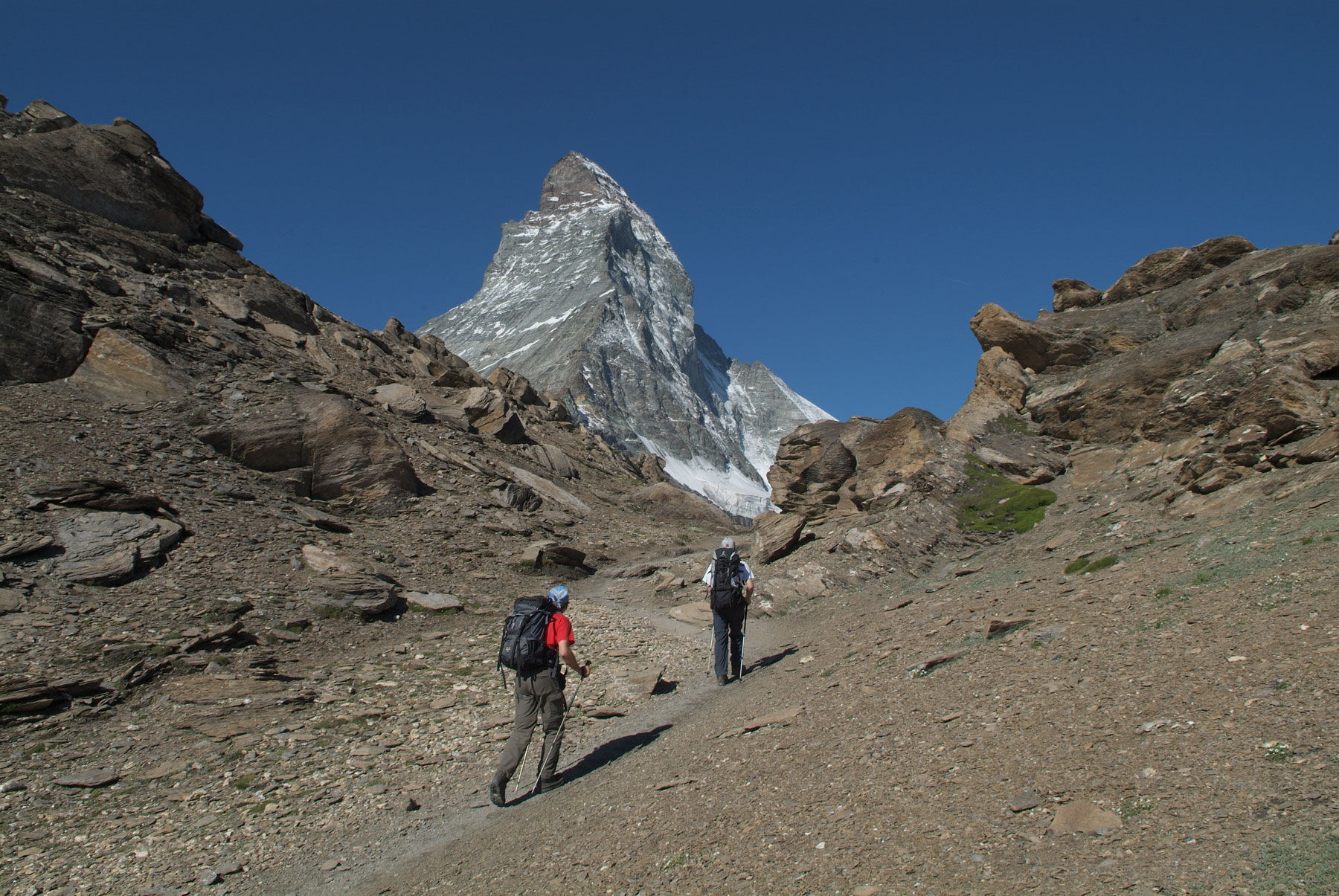
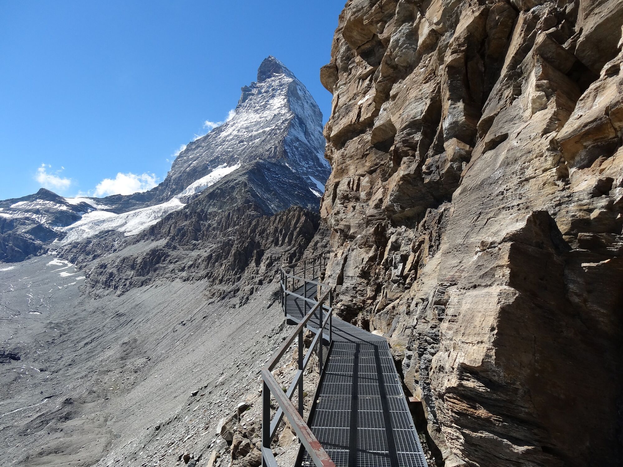
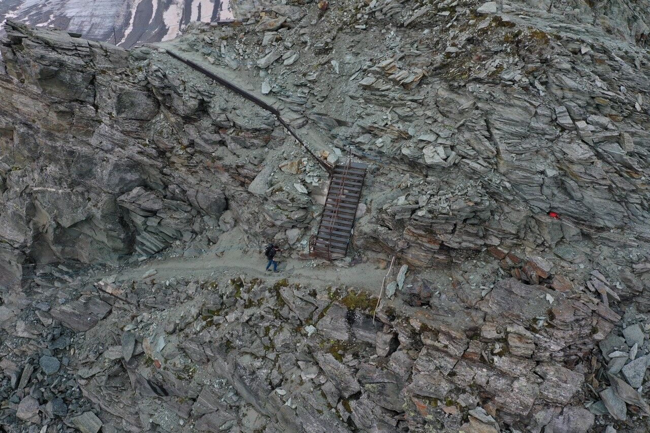
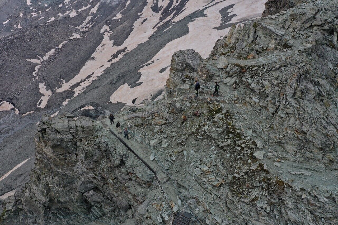
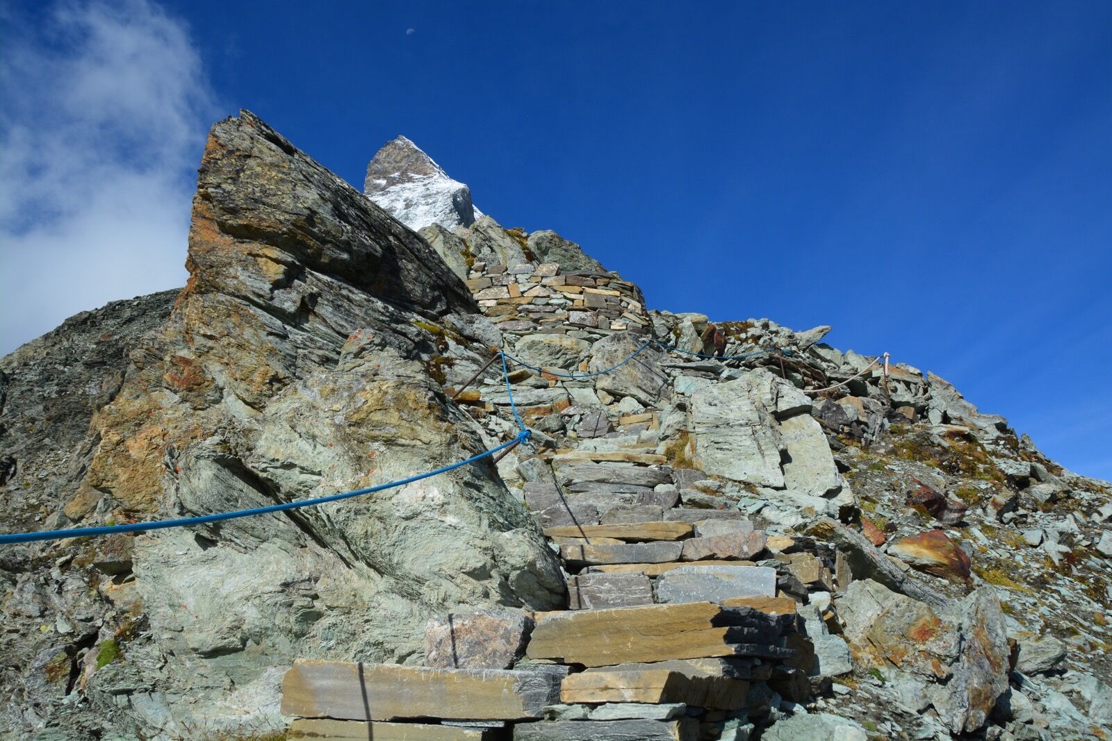
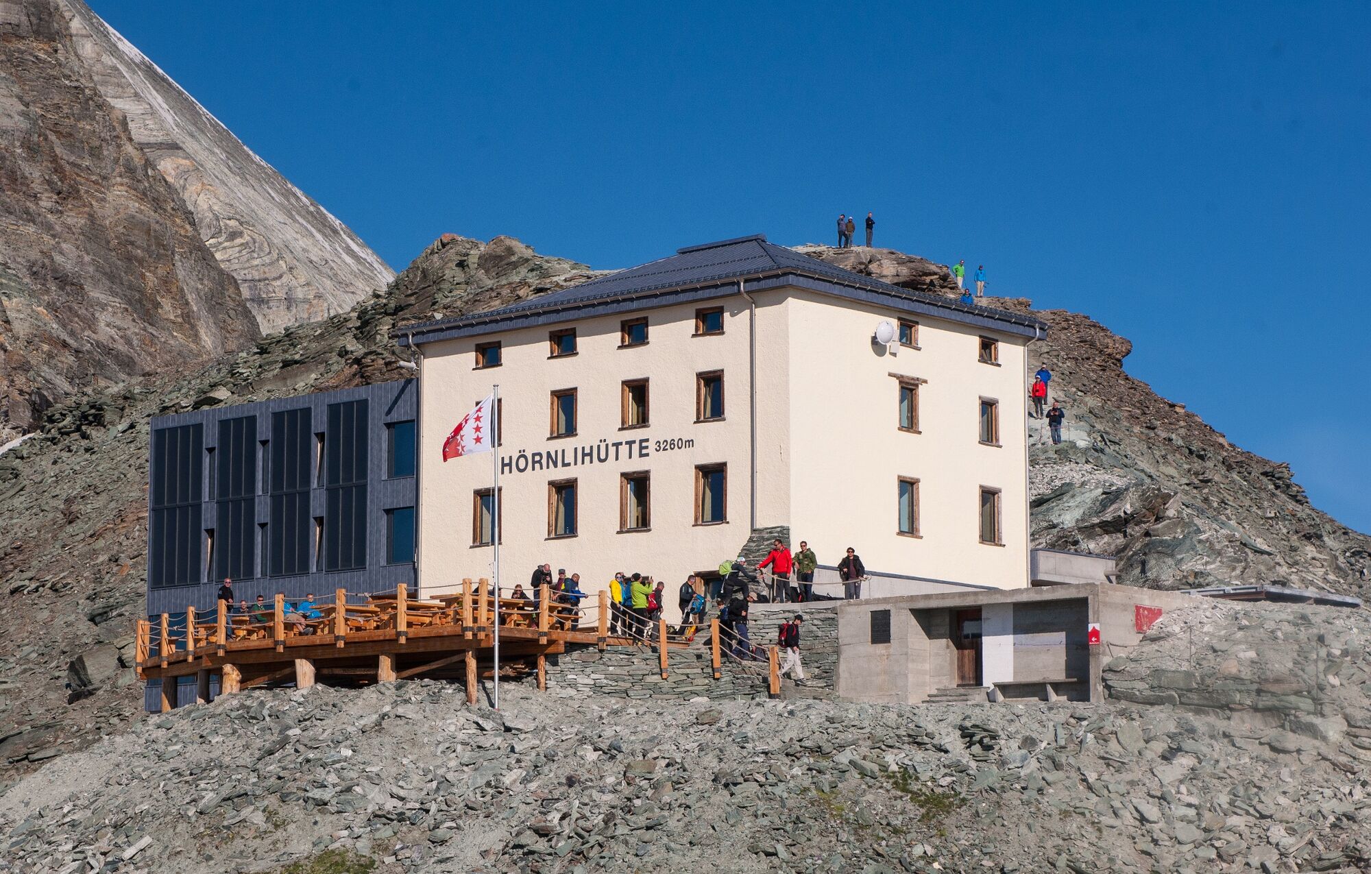
This trail leads to what is probably the key location in Zermatt, the Hörnli Hut at the foot of the Matterhorn. Historically this has been the heart of all the action, and remains so today.
- Dificultad
-
difícil
- Valoración
-
- Ruta
-
Schwarzsee paradise0,1 kmSchwarzsee (2.588 m)0,1 kmHörnlihütte (3.260 m)4,3 km
- La mejor temporada
-
enefebmarabrmayjunjulagosepoctnovdic
- Punto álgido
- 3.247 m
- Punto final
-
Hörnli Hut Matterhorn (3,260 m)
- Perfil alto
-
 © outdooractive.com

- Autor
-
La gira Hörnli Trail (Nr. 27) es utilizado por outdooractive.com proporcionado.
GPS Downloads


Información general
Punto de avituallamiento
Flora
Fauna
Vistas panorámicas
Más circuitos por las regiones
-
Unterwallis
1192
-
Mattertal
555
-
Zermatt
154
")


")


