

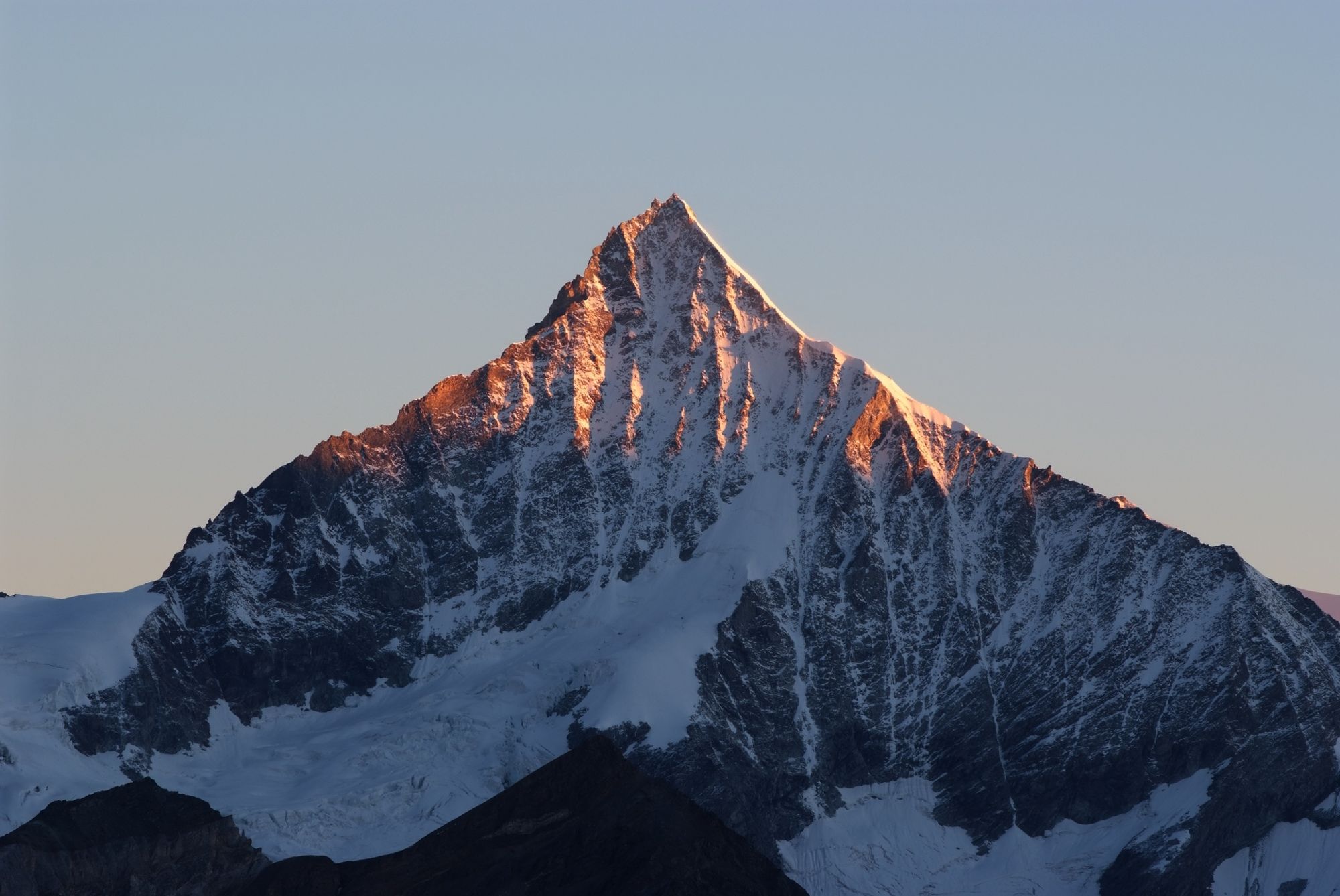
© Kurt Müller - Zermatt Tourismus

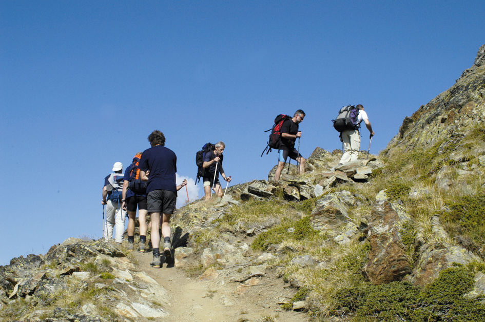
© Unbekannt - Zermatt Tourismus

© Unbekannt - Zermatt Tourismus

- Breve descripción
-
This tough trail is suitable for experienced mountain hikers in good physical shape. The route entails an ascent of 1,774 vertical metres – but the climb is well worth the effort.
- Dificultad
-
difícil
- Valoración
-
- Ruta
-
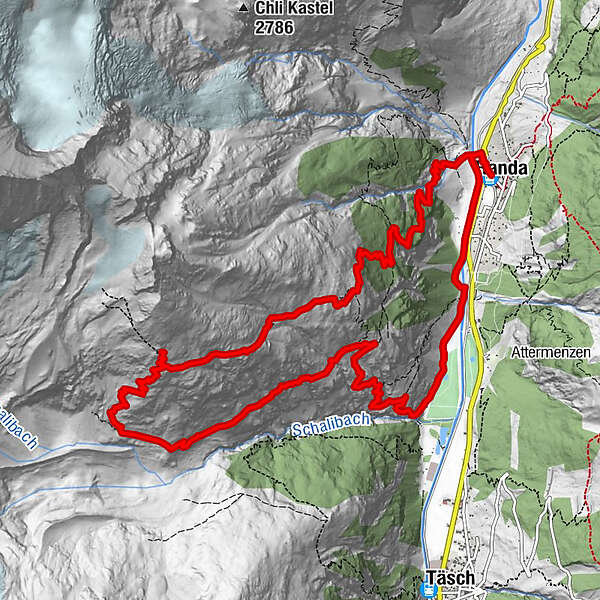
Randa (1.406 m)Weisshornhütte SAC (2.932 m)6,5 kmRanda16,4 kmRanda (1.406 m)16,5 km
- La mejor temporada
-
enefebmarabrmayjunjulagosepoctnovdic
- Punto álgido
- 2.913 m
- Punto final
-
Randa (1,439 m)
- Perfil alto
-
 © outdooractive.com

- Autor
-
La gira Hike to the Weisshorn Hut (Nr. 61) es utilizado por outdooractive.com proporcionado.
GPS Downloads


Información general
Punto de avituallamiento
Flora
Fauna
Vistas panorámicas
Más circuitos por las regiones
-
Oberwallis
1873
-
Mattertal
555
-
Täsch
195


")
