
© Fabienne Schaller - Zermatt Tourismus
© Fabienne Fux-Schaller - Zermatt Tourismus
© Fabienne Fux-Schaller - Zermatt Tourismus

- Breve descripción
-
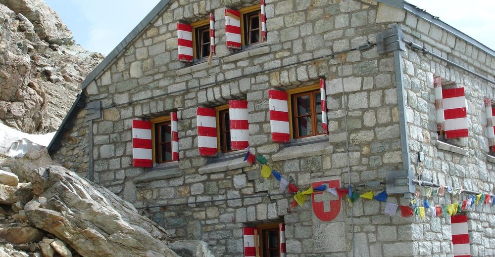
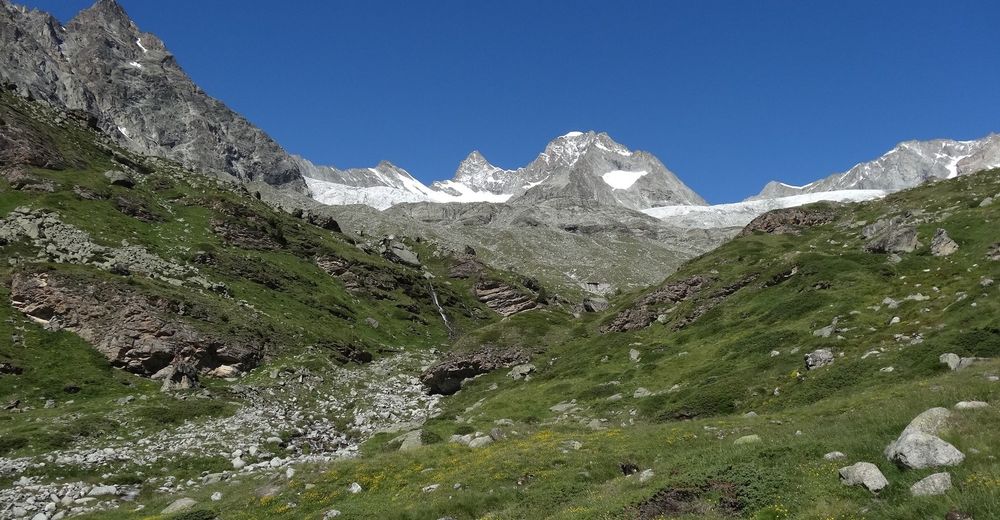
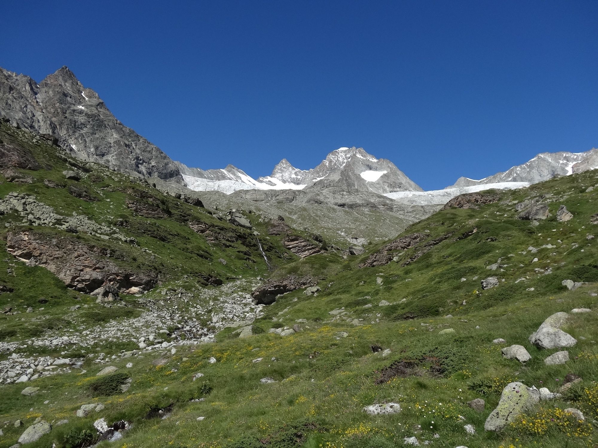
The Rothorn Hut attracts a colourful variety of mountaineers seeking high-altitude challenges. Regular mountain hikers, too, enjoy the climb up to the Eseltschuggen.
- Dificultad
-
difícil
- Valoración
-
- Ruta
-
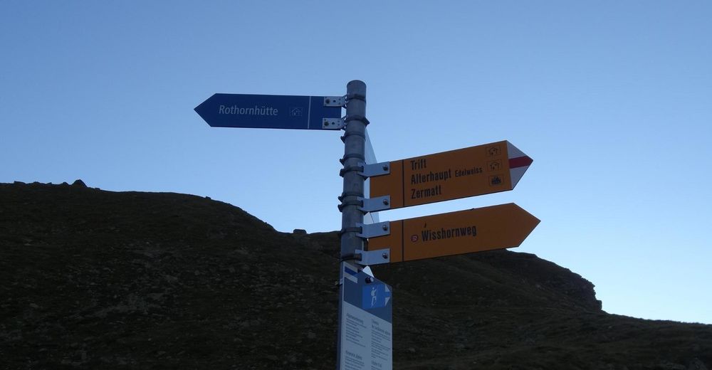
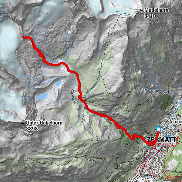
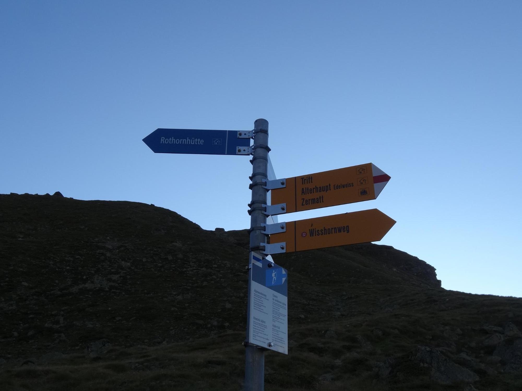
Zermatt (1.608 m)0,3 kmBerggasthaus Trift (2.337 m)3,9 kmRothornhütte (3.198 m)8,1 km
- La mejor temporada
-
enefebmarabrmayjunjulagosepoctnovdic
- Punto álgido
- 3.169 m
- Punto final
-
Rothorn Hut SAC (3,198 m)
- Perfil alto
-
 © outdooractive.com

- Autor
-
La gira Hike to the Rothorn Hut (Nr. 34) es utilizado por outdooractive.com proporcionado.
GPS Downloads


Información general
Punto de avituallamiento
Flora
Fauna
Vistas panorámicas
Más circuitos por las regiones
-
Oberwallis
1873
-
Mattertal
555
-
Zermatt
154


")


