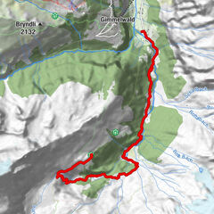
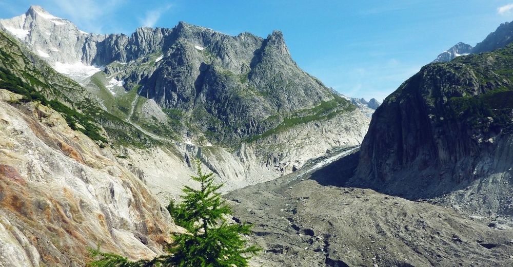
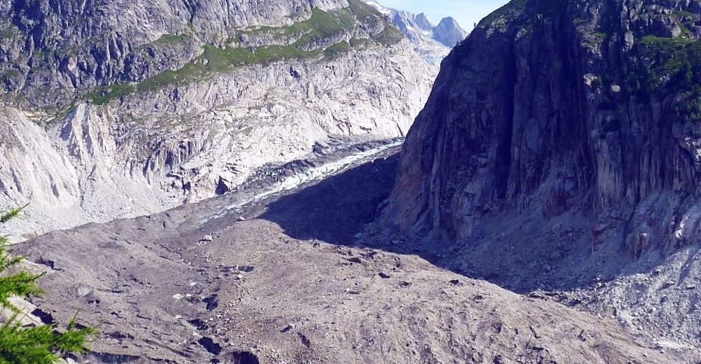
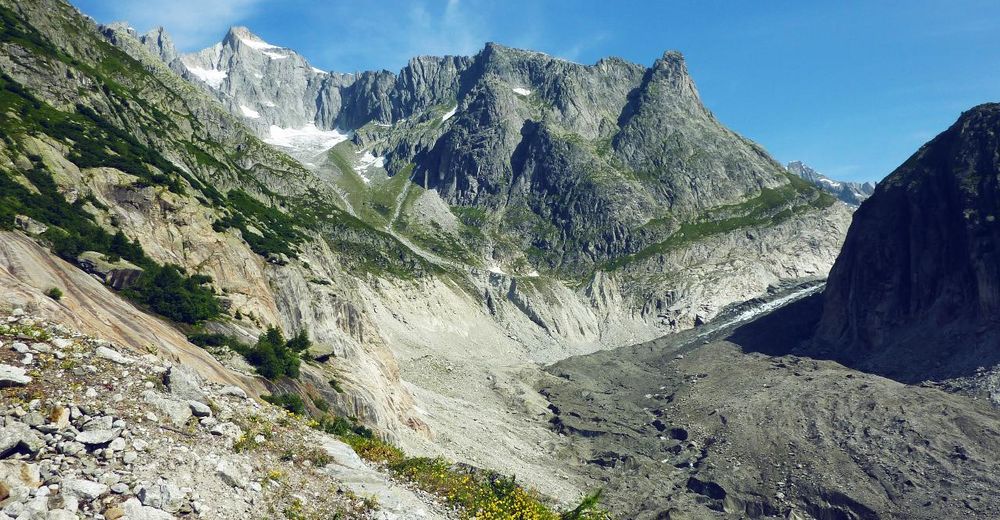
Hike to the glacier viewpoint from Bellwald

Senderismo
© Valrando
© Valrando
© Valrando
© Valrando


- Breve descripción
-
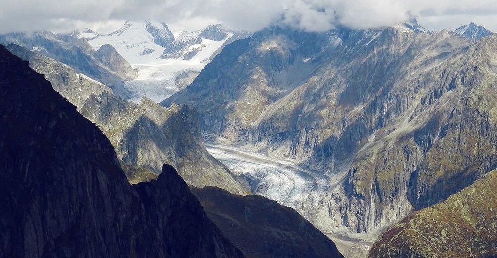
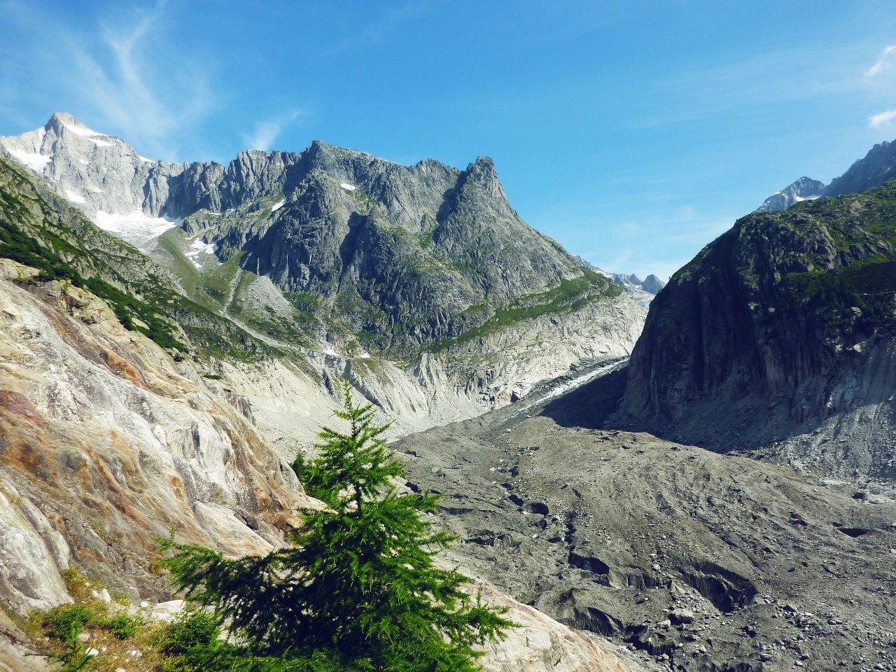
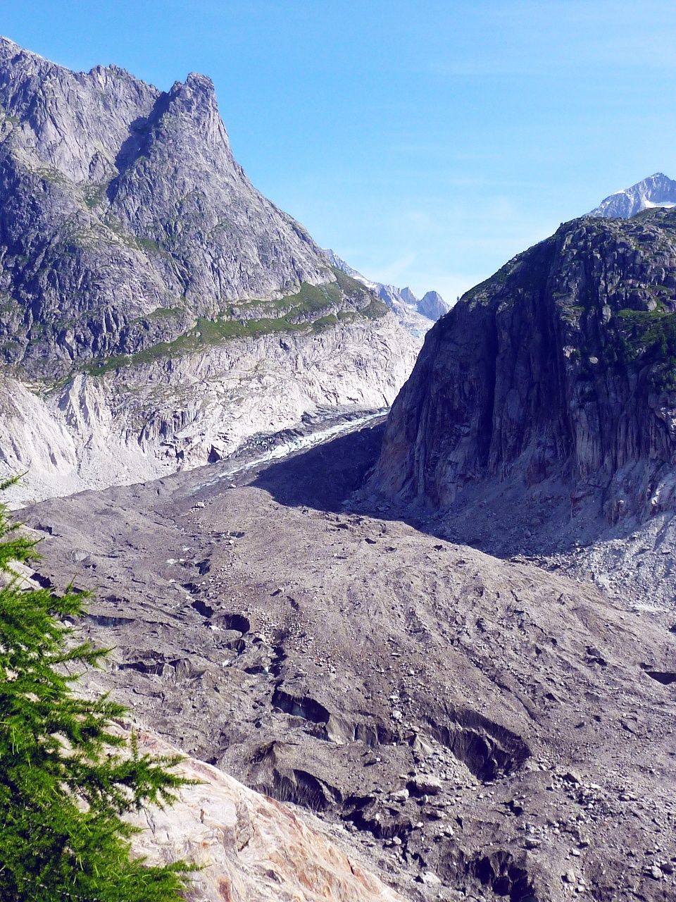
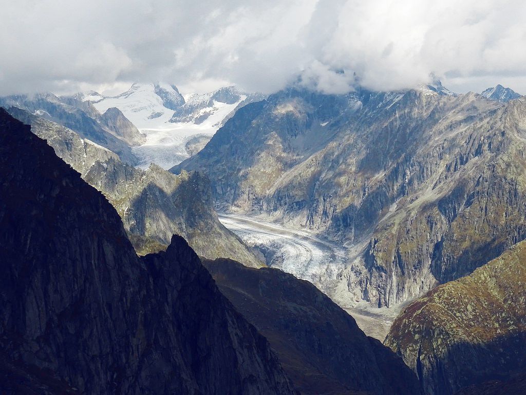
High-altitude hike for a view of the second-longest glacier in the Alps – and over the Goms valley and the 4,000-metre peaks of Valais. Scenic ride to hike starting point by chairlift.
- Dificultad
-
medio
- Valoración
-
- Ruta
-
Richinen (2.080 m)0,0 km
- La mejor temporada
-
enefebmarabrmayjunjulagosepoctnovdic
- Punto álgido
- 2.426 m
- Punto final
-
Richenen chairlift summit station
- Perfil alto
-
 © outdooractive.com

-

-
AutorLa gira Hike to the glacier viewpoint from Bellwald es utilizado por outdooractive.com proporcionado.
GPS Downloads


Información general
Punto de avituallamiento
Vistas panorámicas
Más circuitos por las regiones
-
Aletsch Arena
1485
-
Goms
528
-
Bellwald
89