Chemin des villages et hameaux d'Entremont

Senderismo
© Pays du Saint Bernard - Gaëtan Tornay
© Valais/Wallis Promotion - Pascal Gertschen - Pascal Gertschen
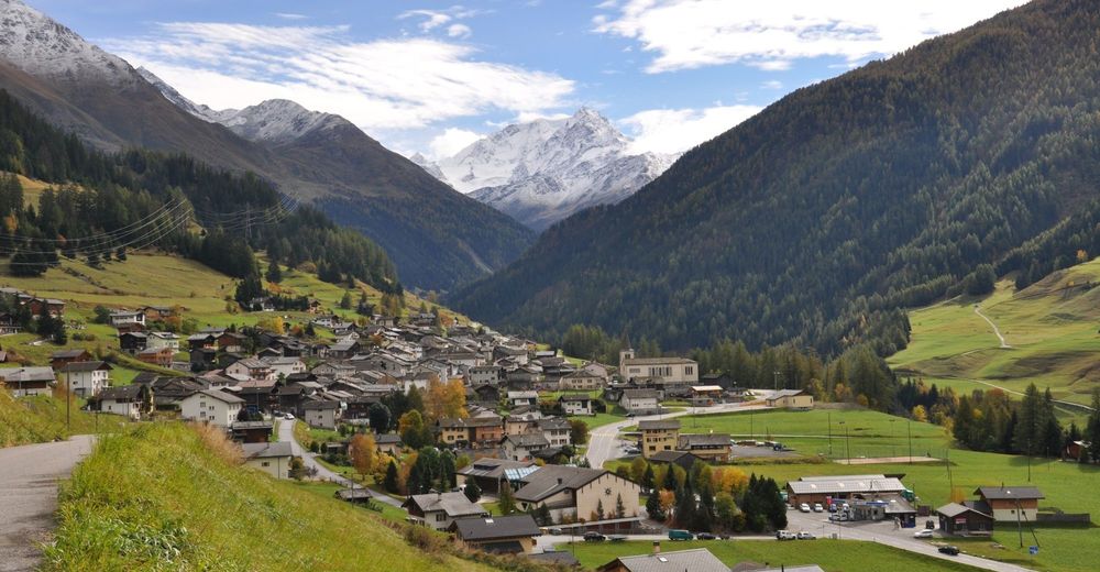
© Pays du Saint Bernard - Gaëtan Tornay
© Pays du Saint Bernard
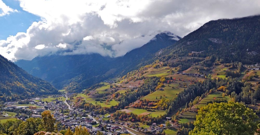
© Pays du Saint Bernard - Gaëtan Tornay
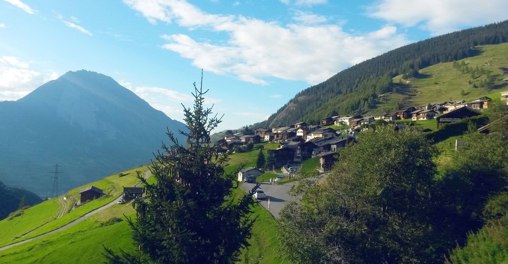
© Pays du Saint Bernard - Gaëtan Tornay

- Breve descripción
-
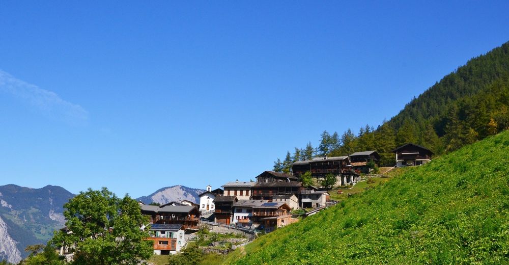
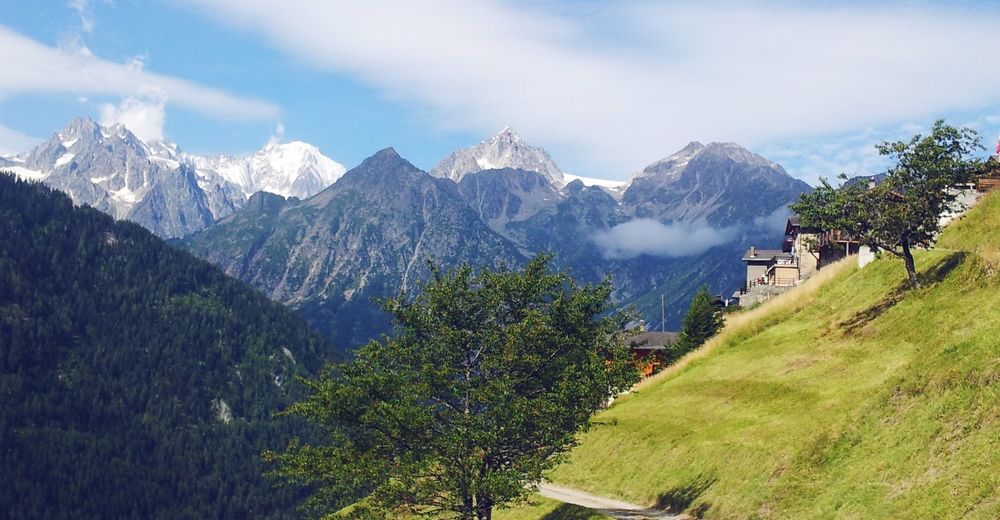
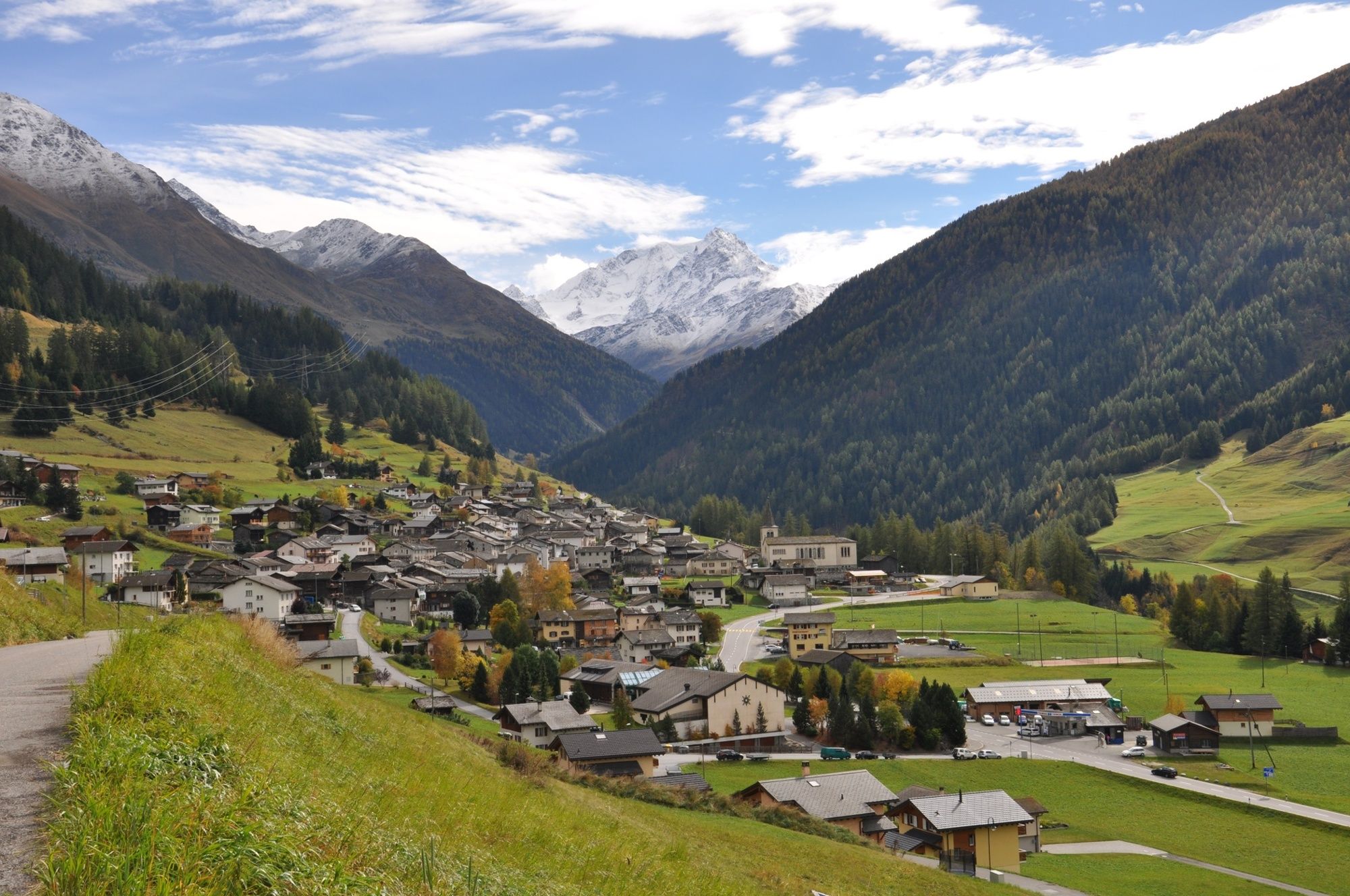
A panoramic walk that links a string of charming historical villages on the sunny slopes overlooking the lower Val d’Entremont.
- Dificultad
-
fácil
- Valoración
-
- Ruta
-
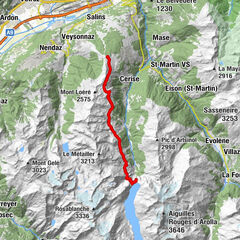
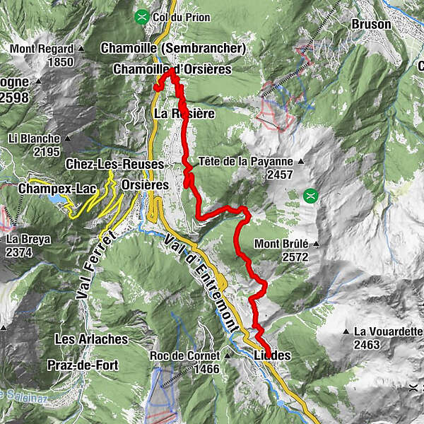
LiddesChandonne (Liddes)1,7 kmChapelle de Chandonne1,7 kmCommeire6,0 kmReppaz8,0 kmLa Rosière9,9 kmChamoille d'Orsières12,5 kmChamoille (Sembrancher)12,6 kmLa Douay13,5 kmLa Douay (818 m)13,8 km
- La mejor temporada
-
enefebmarabrmayjunjulagosepoctnovdic
- Punto álgido
- 1.640 m
- Punto final
-
La Douay
- Perfil alto
-
 © outdooractive.com


-

-
AutorLa gira Chemin des villages et hameaux d'Entremont es utilizado por outdooractive.com proporcionado.
GPS Downloads


Información general
Punto de avituallamiento
Cultural/Histórico
Secreto
Vistas panorámicas
Más circuitos por las regiones
-
Thyon les Collons
1435
-
Pays du Saint-Bernard
319
-
Orsières
93