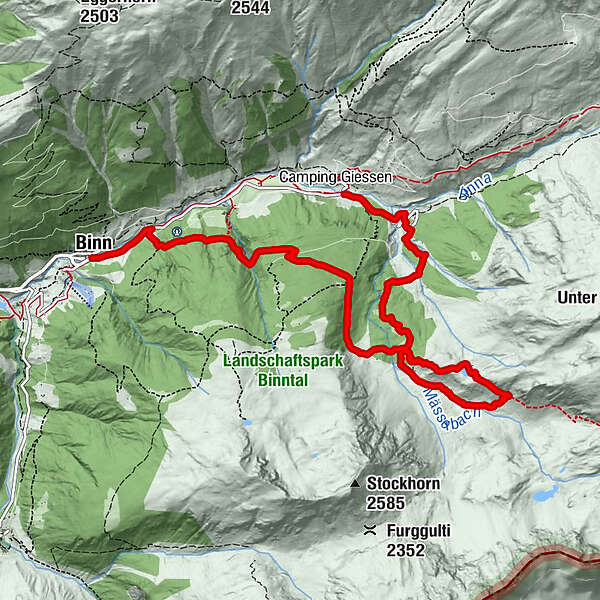
Discovering Binntal Landscape Park: Imfeld – Mässersee – Binn

Senderismo


- Breve descripción
-
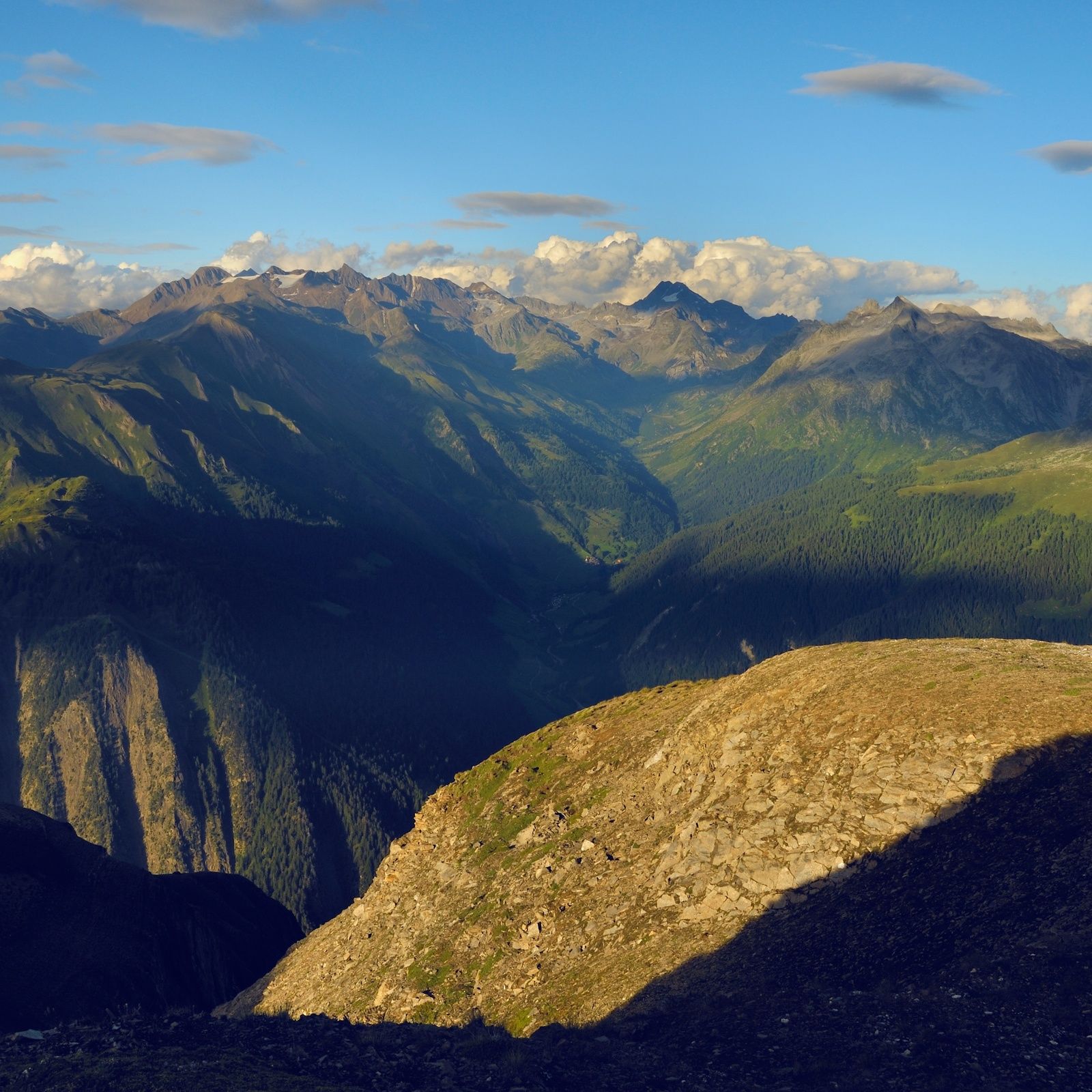
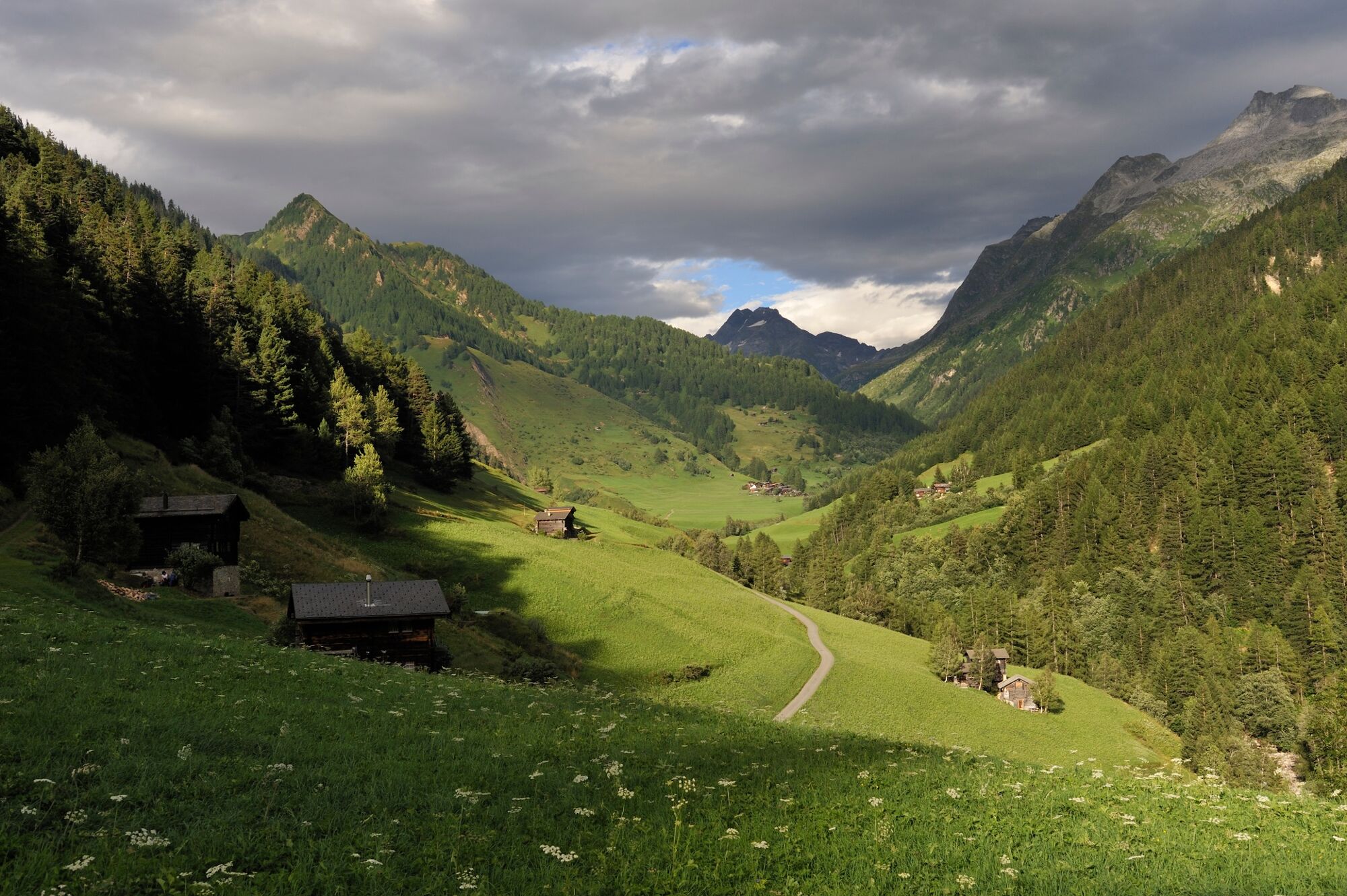
Loop through the Binntal valley, famous for its glorious scenery, wealth of minerals and time-warp historical villages. The gem at the heart of the Binntal Landscape Park.
- Dificultad
-
medio
- Valoración
-
- Ruta
-
ImfeldFäldRestaurant Imfeld0,0 kmRippje0,0 kmSt. Christophorus0,7 kmFiggerscha0,7 kmZur Brücke9,4 kmSt. Antonius9,4 kmBinn (1.400 m)9,4 km
- La mejor temporada
-
enefebmarabrmayjunjulagosepoctnovdic
- Punto álgido
- 2.160 m
- Punto final
-
Binn
- Perfil alto
-
 © outdooractive.com
-

-
AutorLa gira Discovering Binntal Landscape Park: Imfeld – Mässersee – Binn es utilizado por outdooractive.com proporcionado.
GPS Downloads


Información general
Cultural/Histórico
Flora
Fauna
Vistas panorámicas
Más circuitos por las regiones
-
Aletsch Arena
1485
-
Divedrotal
348
-
Bellwald
89