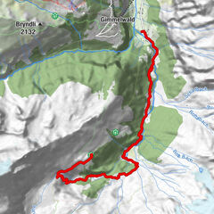
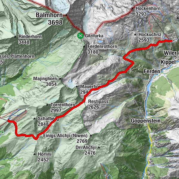
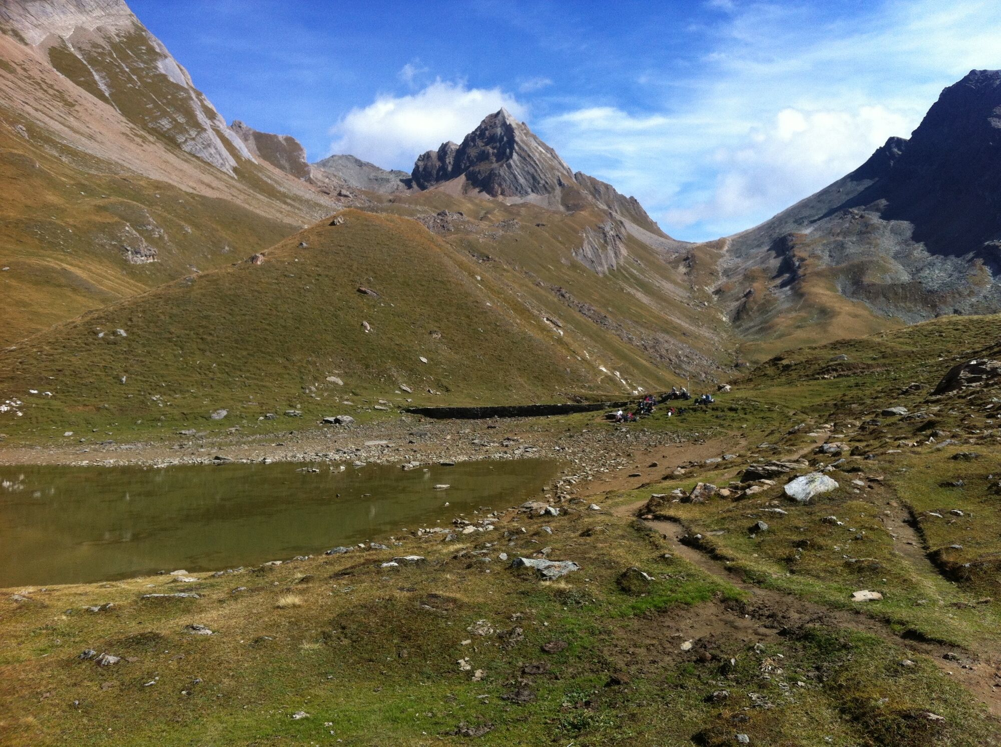
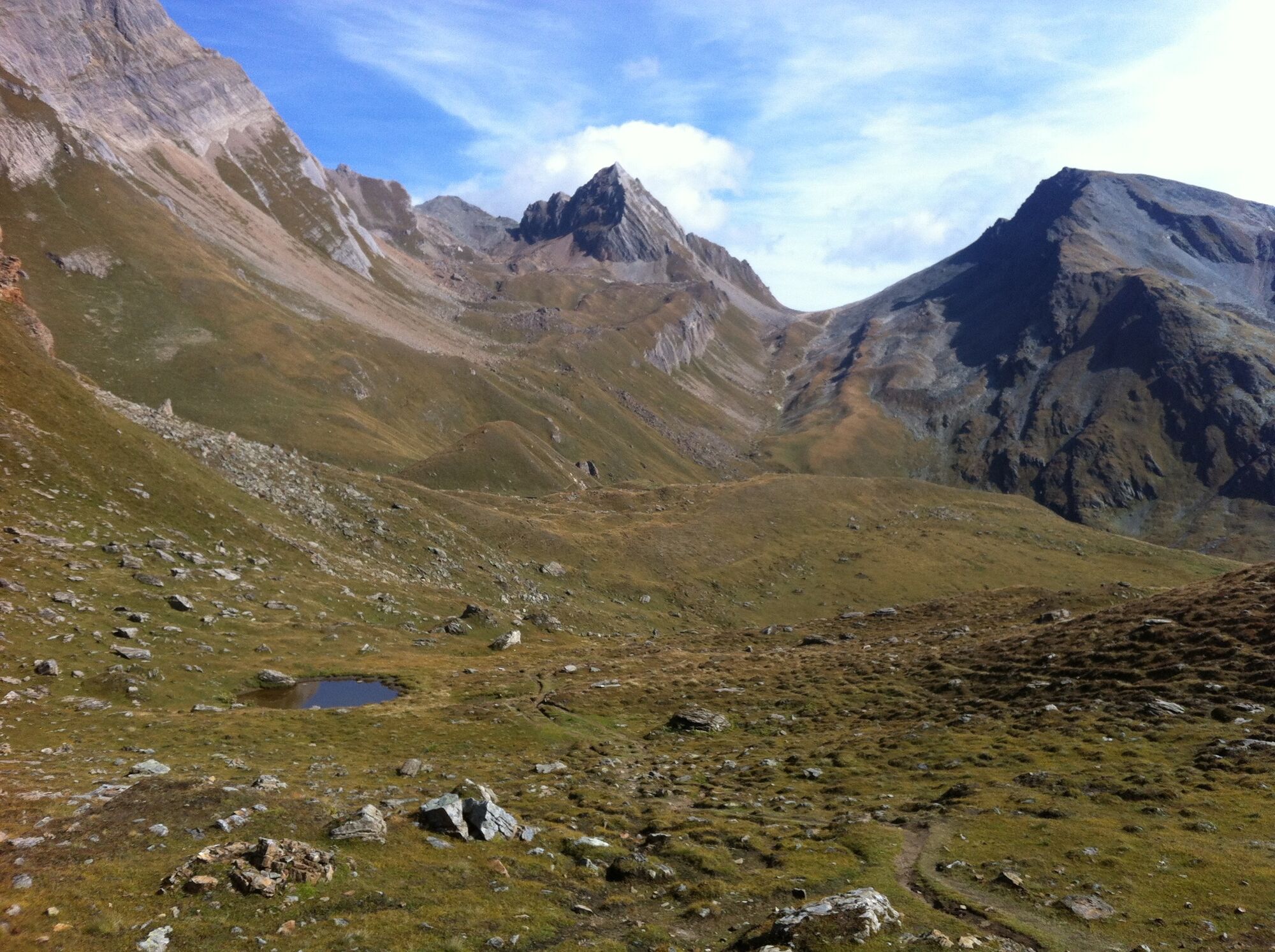
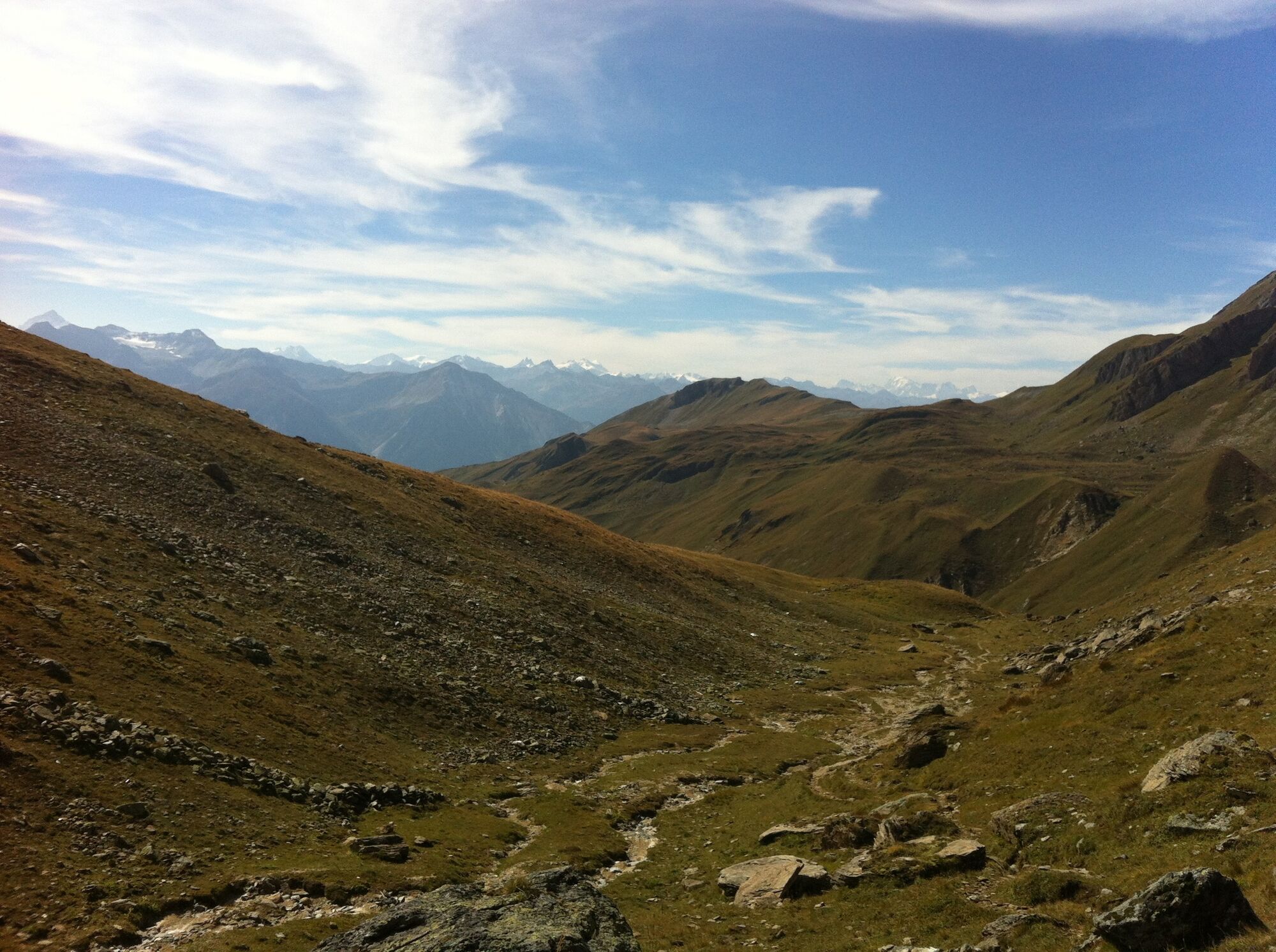
Lauchernalp - Restipass - Rinderhütte (Leukerbad)

Senderismo

© Lötschental Tourismus - Sandra Stockinger

© Lötschental Tourismus - Sandra Stockinger

© Lötschental Tourismus - Sandra Stockinger

© Lötschental Tourismus - Sandra Stockinger

© Lötschental Tourismus - Sandra Stockinger

© Lötschental Tourismus - Sandra Stockinger

© Lötschental Tourismus - Sandra Stockinger

© Lötschental Tourismus - Sandra Stockinger

© Lötschental Tourismus - Sandra Stockinger

© Lötschental Tourismus - Sandra Stockinger

- Breve descripción
-
Fantastic hike from Lauchernalp over the Restialp and the Restipass to the Rinderhütte station (Leukerbad)
- Dificultad
-
medio
- Valoración
-
- Ruta
-
ZudiliGasthaus Kummenalp3,0 kmTrockenalp3,9 kmRestialp4,7 kmRestipass (2.626 m)8,2 km
- La mejor temporada
-
enefebmarabrmayjunjulagosepoctnovdic
- Punto álgido
- 2.625 m
- Punto final
-
Bergstation Rinderhütte, Leukerbad
- Perfil alto
-
 © outdooractive.com


- Autor
-
La gira Lauchernalp - Restipass - Rinderhütte (Leukerbad) es utilizado por outdooractive.com proporcionado.
GPS Downloads


Información general
Punto de avituallamiento
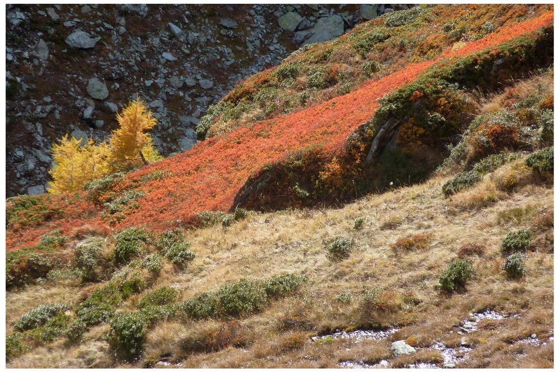
Flora
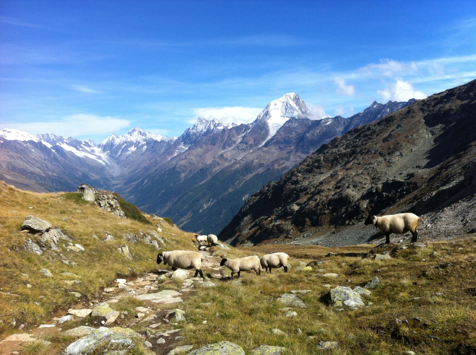
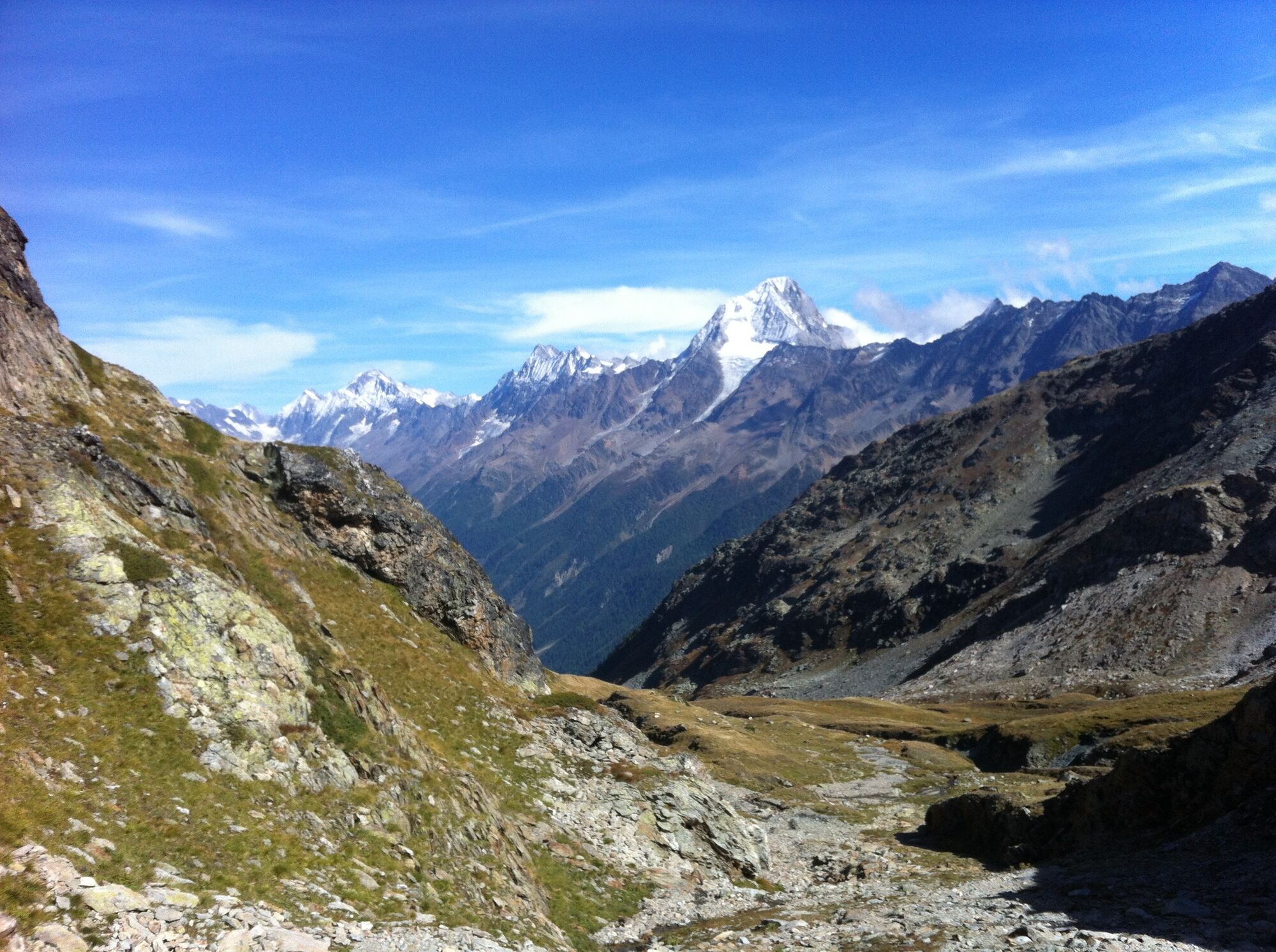
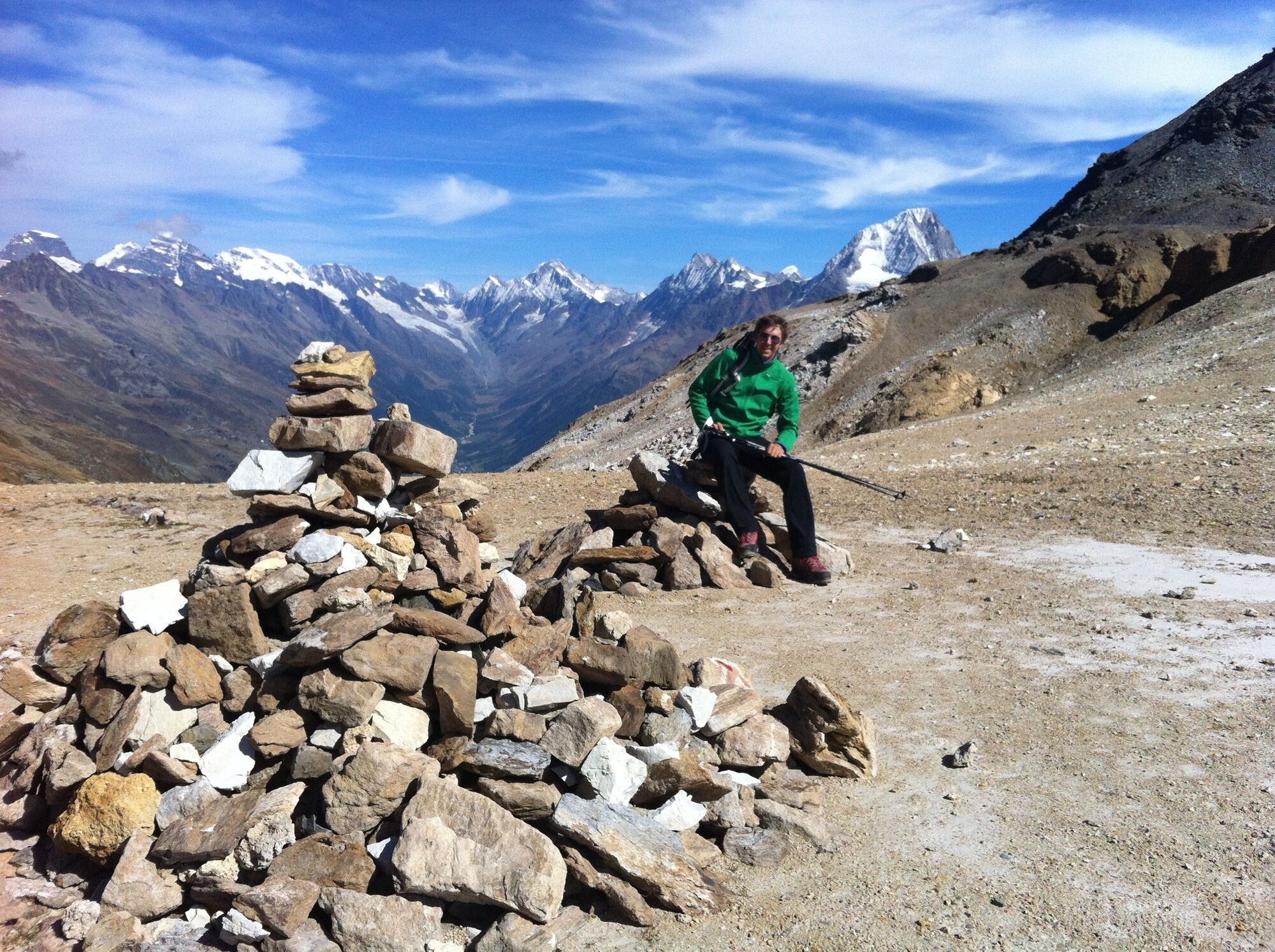
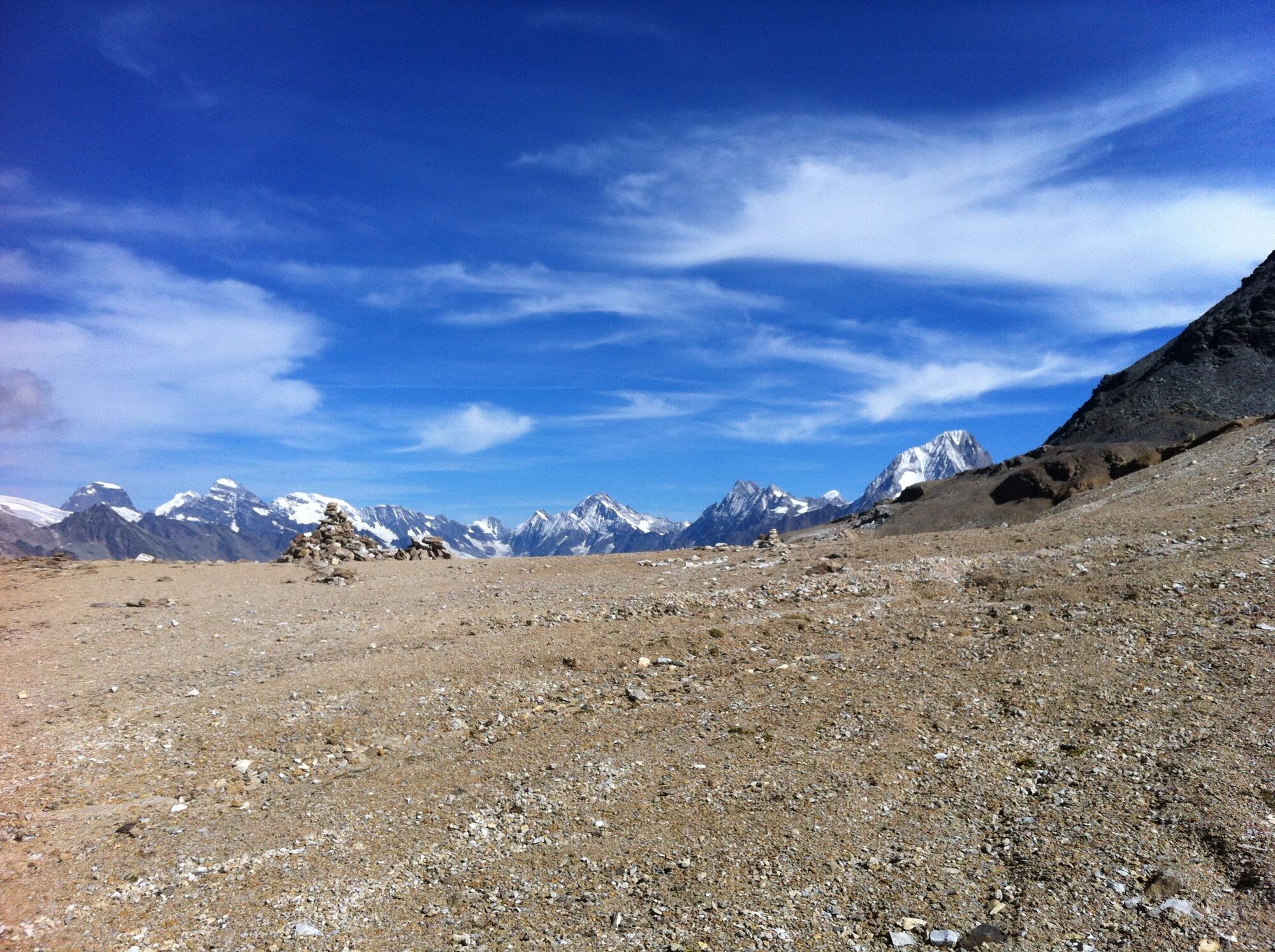
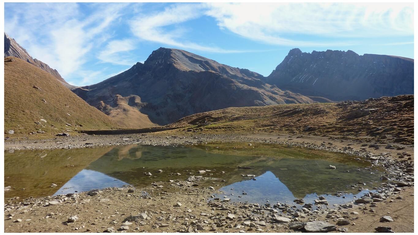
Vistas panorámicas
Más circuitos por las regiones
-
Oberwallis
1872
-
Lötschental
1075
-
Ferden
199