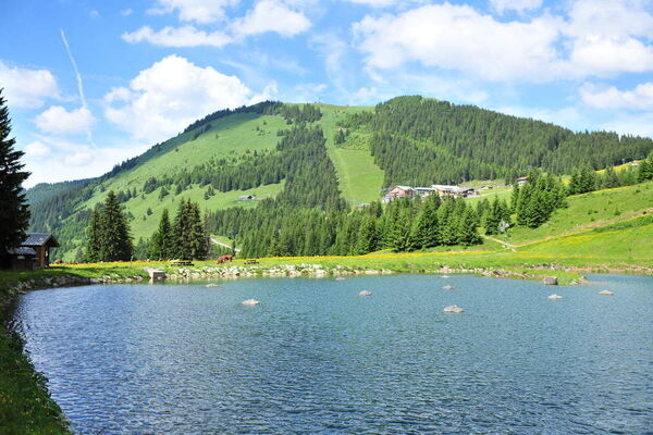
© Monique Borel


- Breve descripción
-
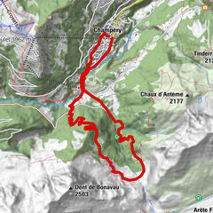
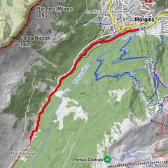
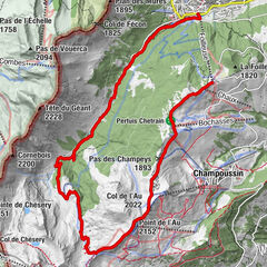
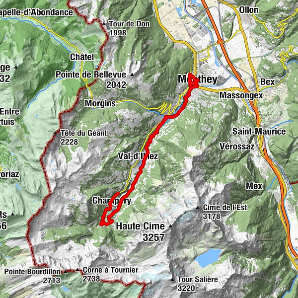
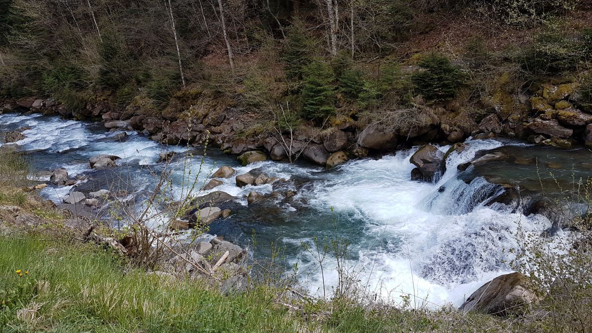
Dotted with informational panels, this itinerary retraces the course and the importance of water as it flows from Champéry to Monthey along the Vièze River.
- Dificultad
-
medio
- Valoración
-
- Ruta
-
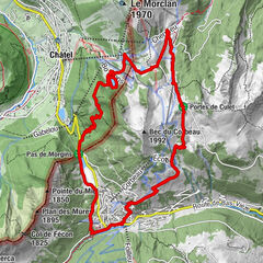
Temple de Champéry0,1 kmEglise catholique de Champéry0,2 kmChampéry (1.050 m)0,8 kmAuberge du Grand-Paradis2,9 kmVal-d'Illiez (948 m)9,5 kmTroistorrents13,5 kmAuberge de la Bourgeoisie13,7 kmHelvétia13,8 kméglise Ste-Marie-Madeleine13,9 kmChapelle du Pont18,3 kmLes Neyres19,7 kmMonthey (430 m)21,1 kmMonthey-Ville (420 m)21,3 km
- La mejor temporada
-
enefebmarabrmayjunjulagosepoctnovdic
- Punto álgido
- 1.089 m
- Punto final
-
Monthey, train station AOMC stop "Monthey-Ville"
- Perfil alto
-
 © outdooractive.com
-

-
AutorLa gira The Water Trail - Champéry to Monthey es utilizado por outdooractive.com proporcionado.
GPS Downloads


Información general
Punto de avituallamiento
Cultural/Histórico
Vistas panorámicas
Más circuitos por las regiones
-
Portes du Soleil
970
-
Région Dents du Midi
577
-
Troistorrents
191