Via Valais Turtmann Hut - Randa (Stage 7)

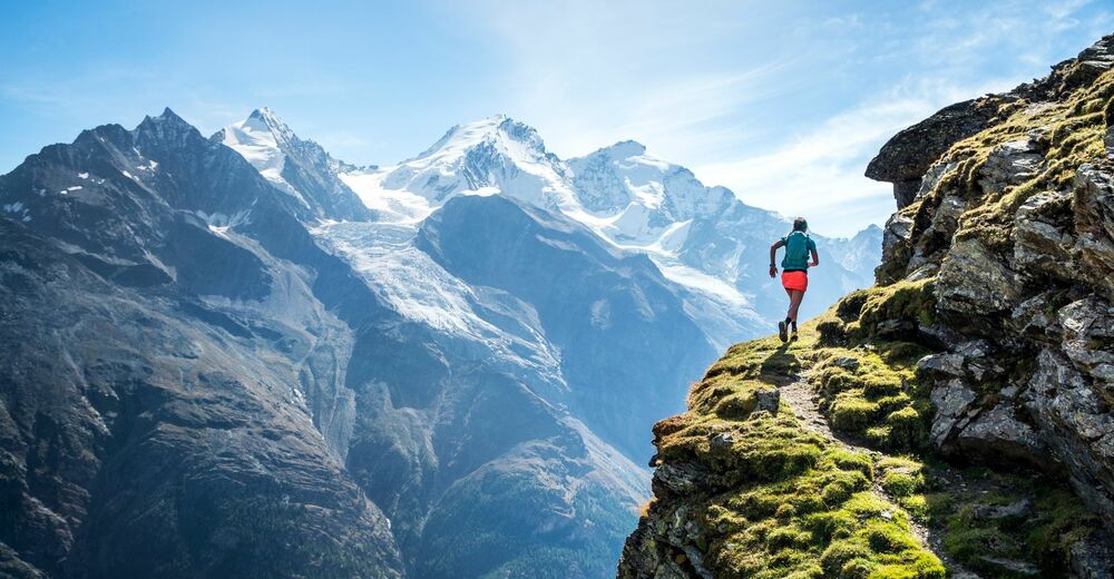
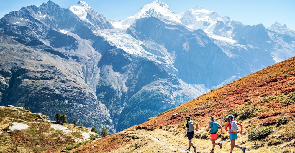
Trailrunning
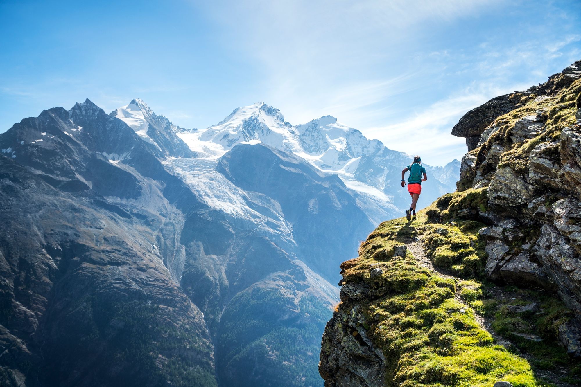
© AlpsInsight - PatitucciPhoto
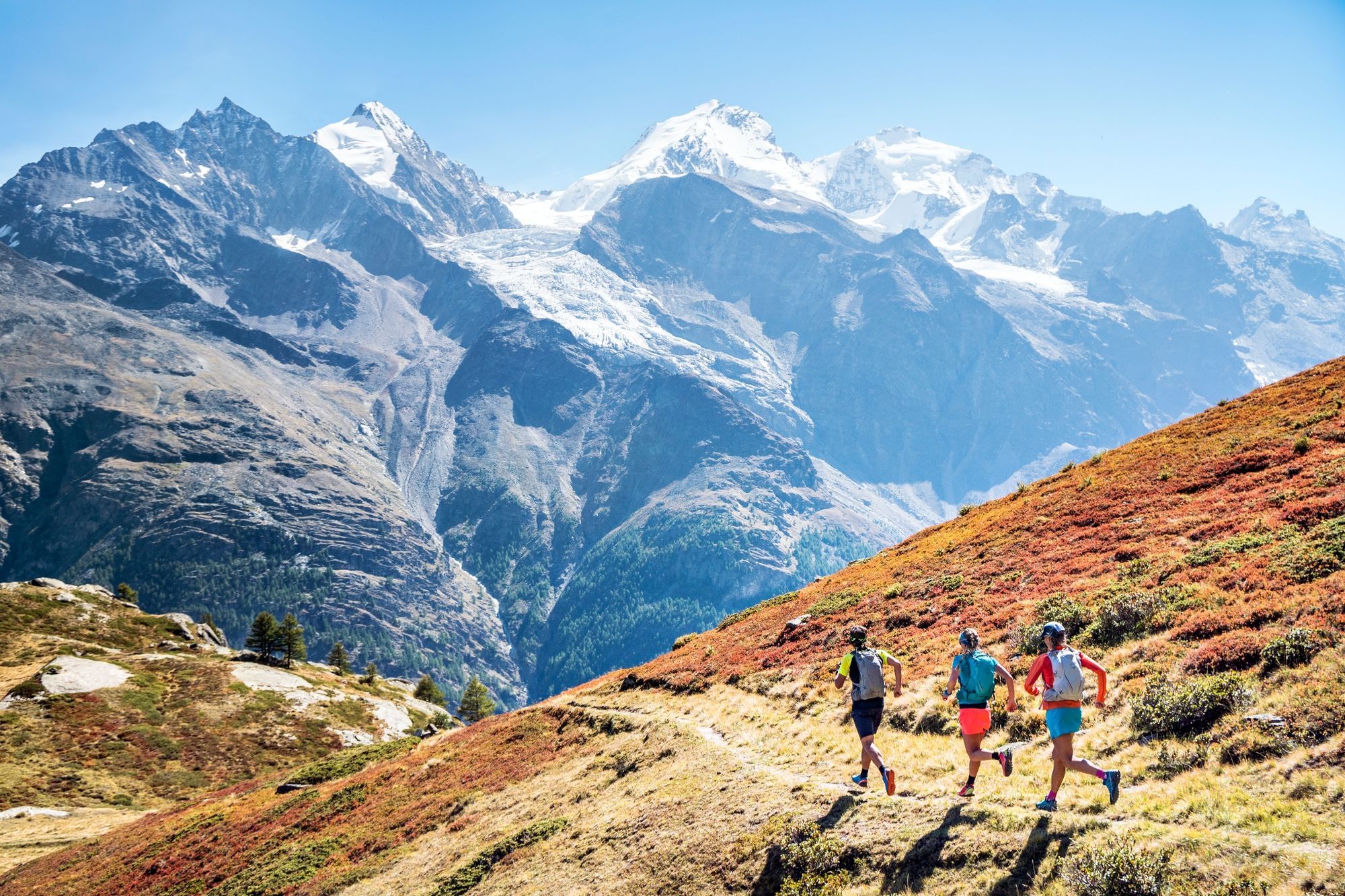
© AlpsInsight - PatitucciPhoto
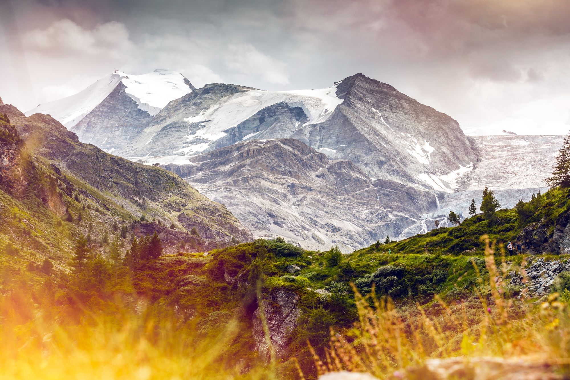
© Valais/Wallis Promotion - Frederic Huber


- Breve descripción
-
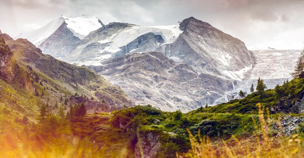
Discover the most incredible leg of the Via Valais with its varied terrain, amazing views and peak at 3,610 metres, making it the highest trail in the Alps.
- Dificultad
-
difícil
- Valoración
-
- Ruta
-
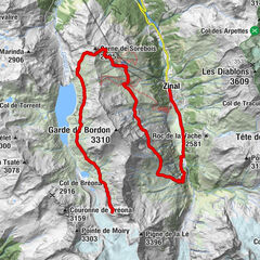
BrunnenGässi (2.641 m)0,9 kmP33923,8 kmP30205,6 kmRanda (1.406 m)19,0 km
- La mejor temporada
-
enefebmarabrmayjunjulagosepoctnovdic
- Punto álgido
- 3.327 m
- Punto final
-
Randa
- Perfil alto
-
 © outdooractive.com
- Autor
-
La gira Via Valais Turtmann Hut - Randa (Stage 7) es utilizado por outdooractive.com proporcionado.
GPS Downloads


Información general
Punto de avituallamiento
Secreto
Flora
Fauna
Vistas panorámicas
Más circuitos por las regiones
-
Oberwallis
107
-
Mattertal
34
-
Täsch
17