© Orane Jan du Chêne - Anzère Tourisme

- Breve descripción
-
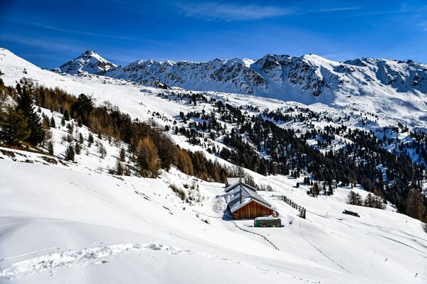
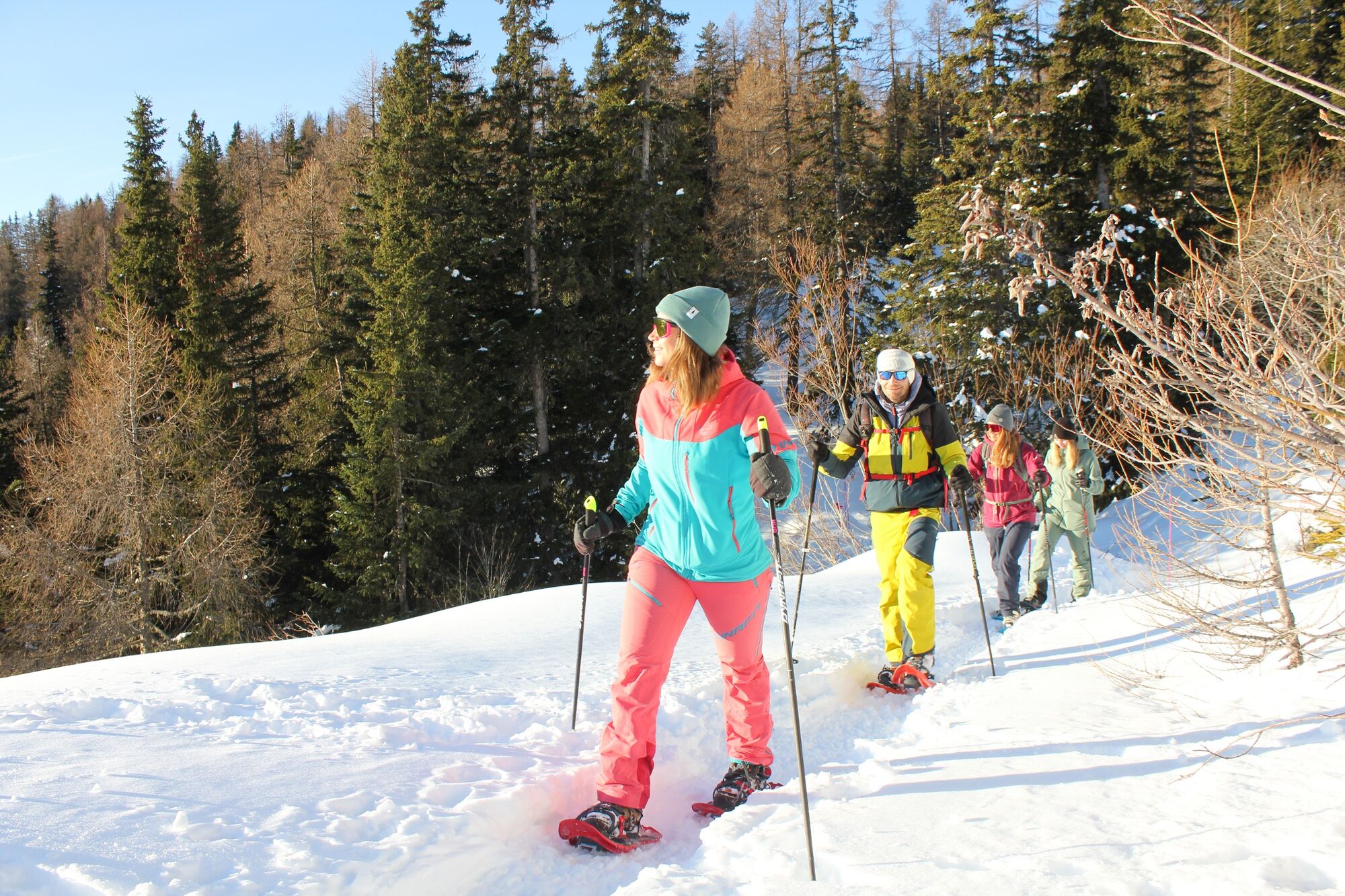
This itinerary offers an ideal setting for recharging your batteries in the heart of Nature while offering an incredible view of the Valaisan Alps.
- Dificultad
-
medio
- Valoración
-
- Ruta
-
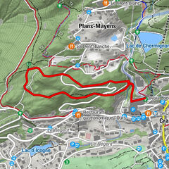
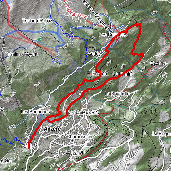
Les Bochonès0,4 kmAnzère (1.500 m)0,5 kmProbon1,8 kmLes Grillesses2,7 kmAnzère (1.500 m)5,8 kmLes Bochonès6,1 km
- La mejor temporada
-
agosepoctnovdicenefebmarabrmayjunjul
- Punto álgido
- 1.718 m
- Punto final
-
Bathed in sunshine with a stunning panorama, this south-facing gem in Valais is the perfect spot for nature lovers and fans of the great outdoors. Anzère is THE destination for moments you’ll remember forever!
- Perfil alto
-
 © outdooractive.com
- Autor
-
La gira Mayens Pathway Tour es utilizado por outdooractive.com proporcionado.
GPS Downloads


Información general
Fauna
Vistas panorámicas
Más circuitos por las regiones
-
Thyon les Collons
105
-
Anzère/ Valais
69
-
Anzère
4