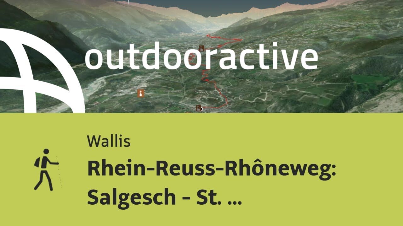
Rhein-Reuss-Rhôneweg: Salgesch - St. Léonard

Camino de peregrinación

© Pilgerwege Schweiz - Thomas Andermatten, Brig

© Pilgerwege Schweiz - Peter Salzmann, Visp

© Pilgerwege Schweiz - Thomas Andermatten, Brig

© Pilgerwege Schweiz - Thomas Andermatten, Brig

© Pilgerwege Schweiz - Thomas Andermatten, Brig

© Pilgerwege Schweiz - Thomas Andermatten, Brig

© Pilgerwege Schweiz - Thomas Andermatten, Brig

© Pilgerwege Schweiz - Thomas Andermatten, Brig

© Outdooractive – 3D Videos
- Breve descripción
-
Der Rhein-Reuss-Rhôneweg verbindet die Graubündner Surselva bis in die Nähe des Genfersees. Vom Beginn in Disentis über die Pässe Oberalp und Furka bis ins Walliser Goms waren wir im Gebirge auf über 1000 m unterwegs, das haben wir aber jetzt hinter uns.
- Dificultad
-
medio
- Valoración
-
- Ruta
-
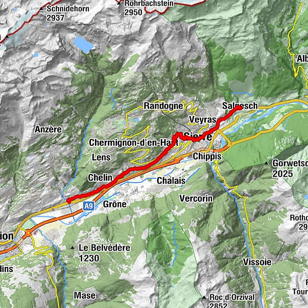
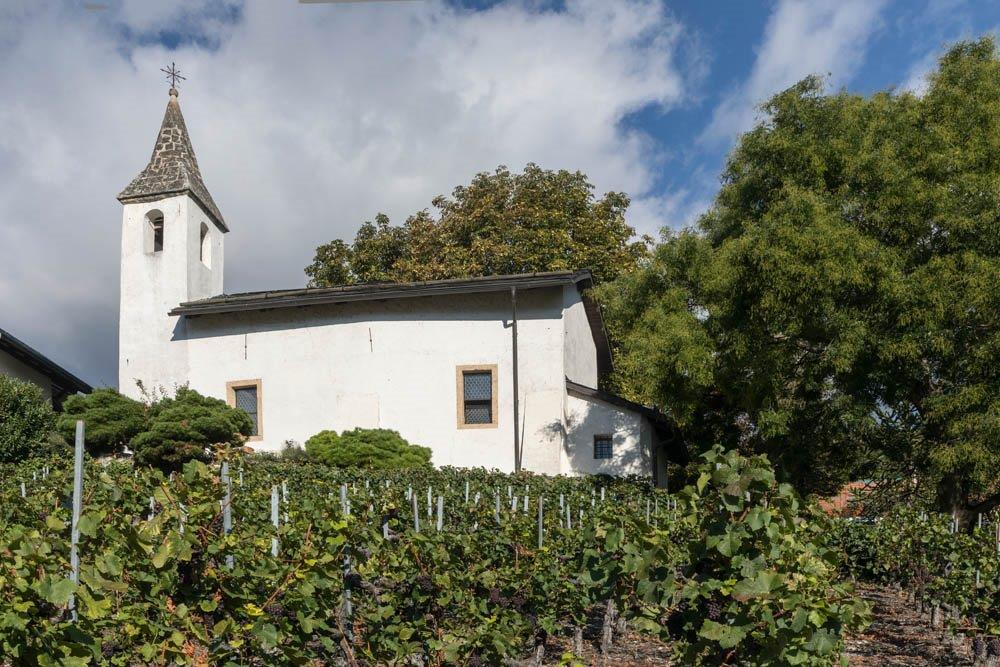
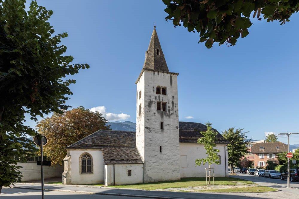
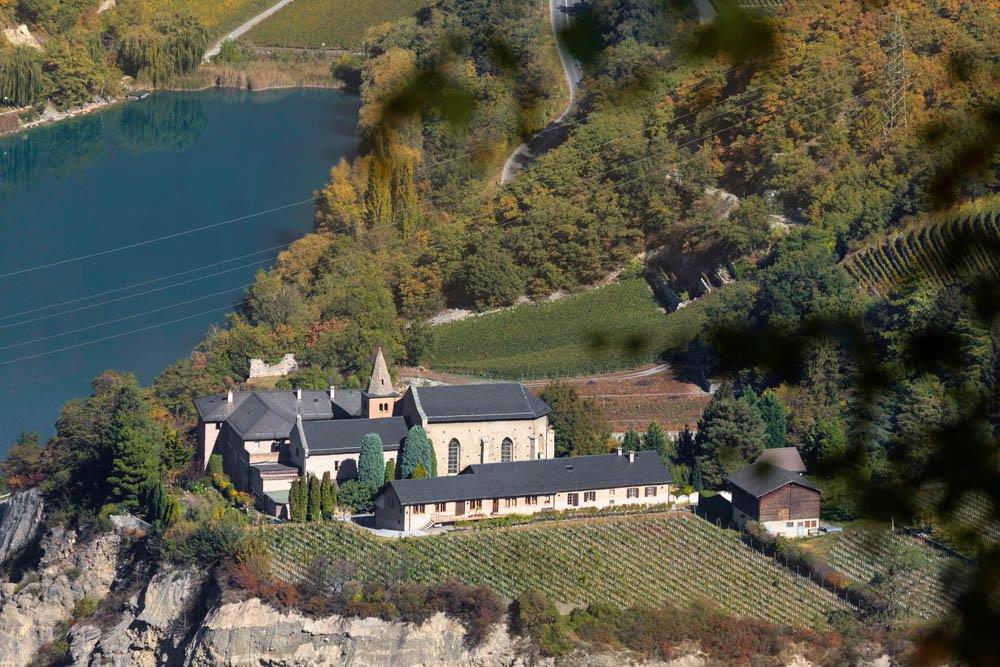
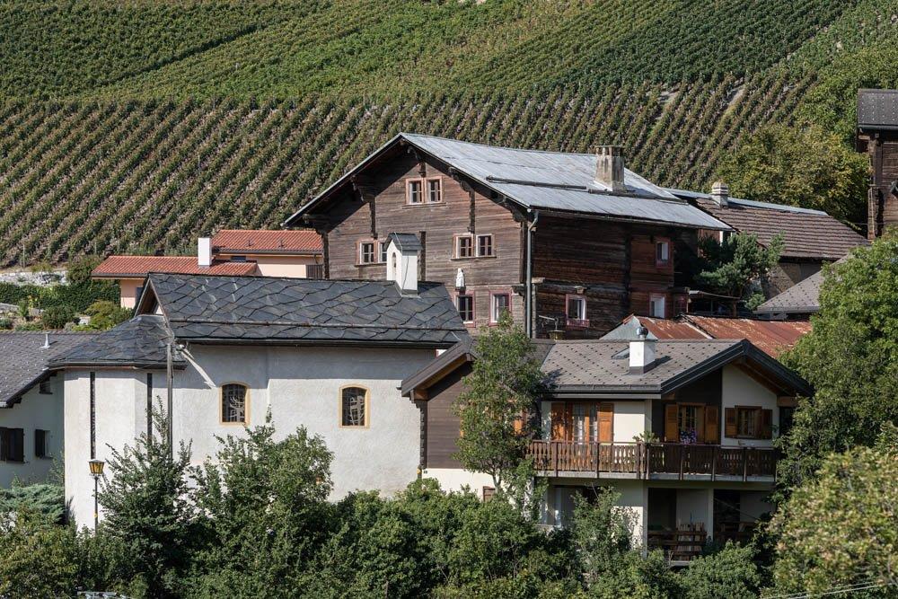
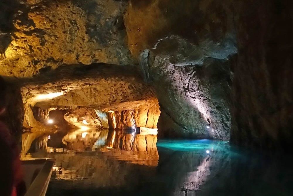
Kirche St. Johann BaptistSalgesch (581 m)0,0 kmRaffilji1,2 kmGlarey2,9 kmÉglise St. Catherine3,9 kmSiders (534 m)4,3 kmVilla5,2 kmLoc7,1 kmCorin-de-la-Crête8,3 kmNoës8,7 kmChampzabé9,4 kmOllon VS10,9 kmPetit-Ollon11,4 kmCondémines12,1 kmSaint-Clément12,6 kmVaas13,1 kmChelin (756 m)13,9 kmUnderground lake16,0 kmSaint-Léonard (498 m)16,5 kmUvrier17,0 km
- La mejor temporada
-
enefebmarabrmayjunjulagosepoctnovdic
- Punto álgido
- 699 m
- Punto final
-
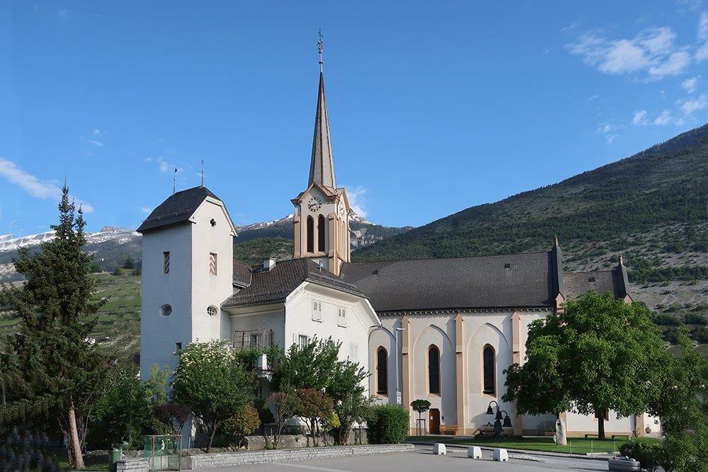
St. Leonard: Ortszentrum
- Perfil alto
-
 © outdooractive.com

- Autor
-
La gira Rhein-Reuss-Rhôneweg: Salgesch - St. Léonard es utilizado por outdooractive.com proporcionado.
GPS Downloads


Información general
Punto de avituallamiento
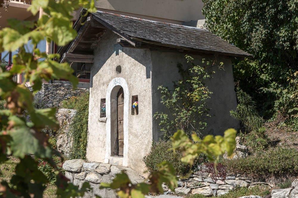
Cultural/Histórico
Vistas panorámicas
Más circuitos por las regiones
-
Thyon les Collons
1435
-
Crans - Montana
986
-
Chalais
329