Walliser Alpen - Nadelhorn

Excursión de alta montaña
Datos del tour
8,5km
1.828
- 4.306m
2.465hm
2.465hm
08:30h

- Breve descripción
-
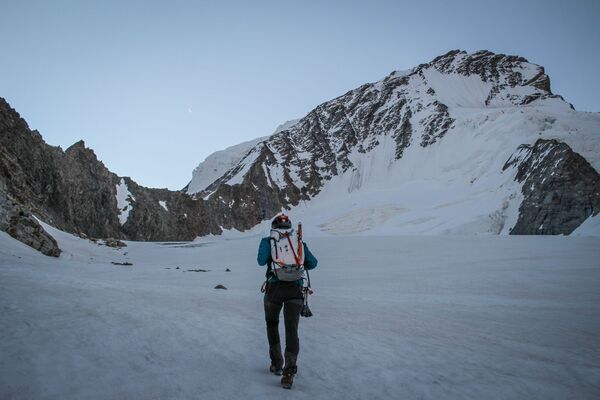
Hochtour auf das Nadelhorn. Zu Fuß von Saas Fee aus über die Mischabellhütte
- Dificultad
-
medio
- Valoración
-
- Punto de salida
-
Talstation Hanigbahn
- Ruta
-
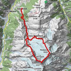
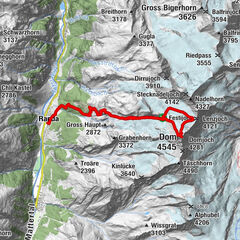
Lomattu0,0 kmHallumatte0,2 kmUnnerum Biel0,4 kmSaas-Fee (1.798 m)0,5 kmUnteres Distelhorn (2.638 m)3,6 kmMischabelhütte (3.335 m)5,3 kmSchwarzhorn (3.620 m)5,8 kmWindjoch (3.850 m)7,2 kmP4115 (4.115 m)8,0 kmNadelhorn (4.327 m)8,3 km
- La mejor temporada
-
enefebmarabrmayjunjulagosepoctnovdic
- Punto álgido
- Nadelhorn (4.306 m)
- Descanso/Avituallamiento
-
Michabellhütte
GPS Downloads


Más circuitos por las regiones
-
Oberwallis
40
-
Saastal
27
-
Saas-Fee
14


, Nordwand und Zmuttgrat (rechts).")
