ORTOVOX tour tip: Matterhorn via the Hörnli Ridge

Excursión de alta montaña
© Unbekannt - www.hochzwei.media
© Unbekannt - www.hochzwei.media
© Unbekannt - www.hochzwei.media
© Unbekannt - www.hochzwei.media
© Unbekannt - www.hochzwei.media
© Unbekannt - www.hochzwei.media
© Unbekannt - www.hochzwei.media

- Breve descripción
-
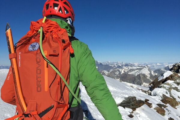
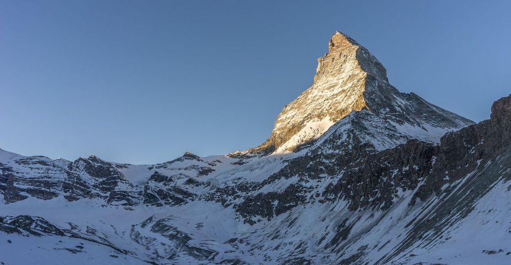
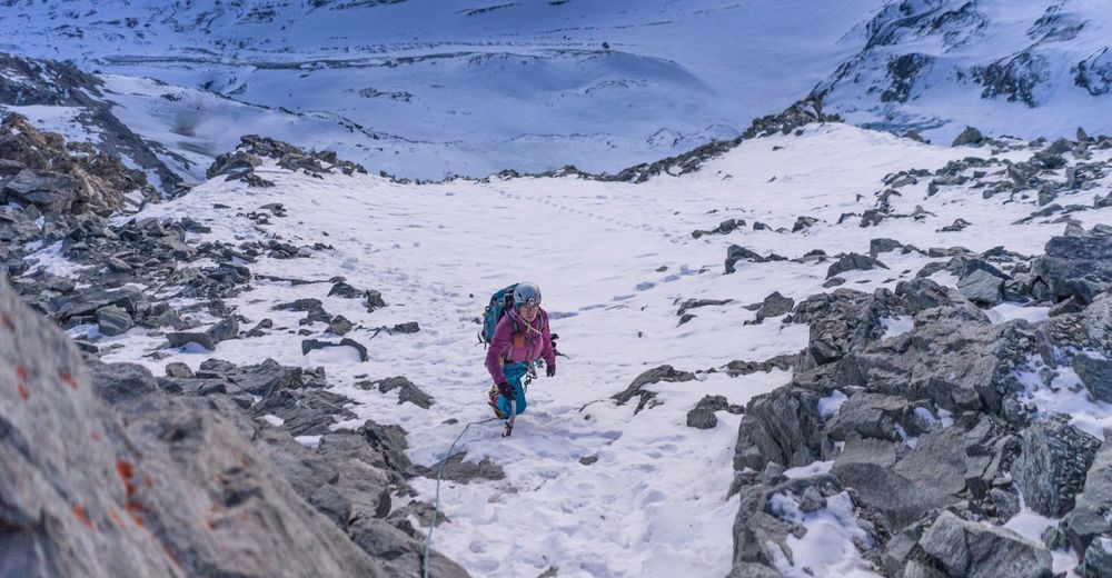
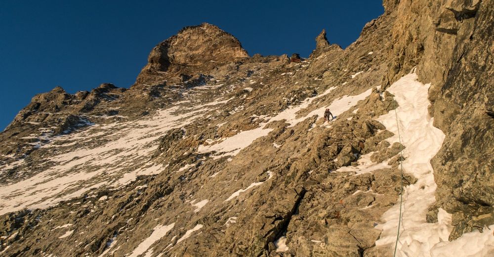
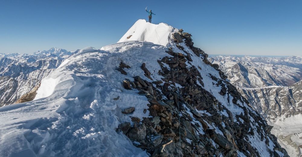
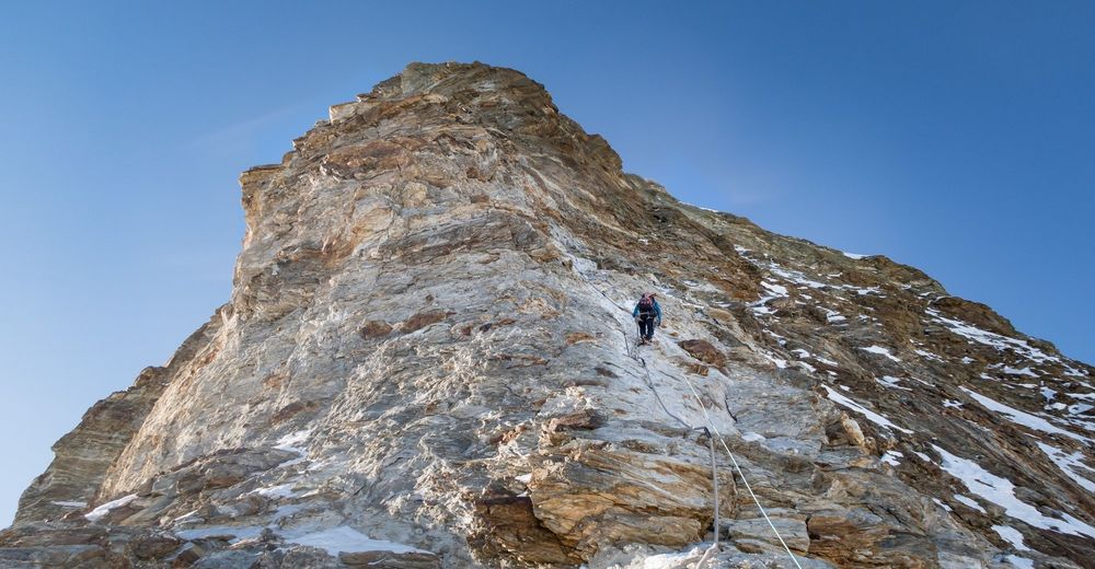
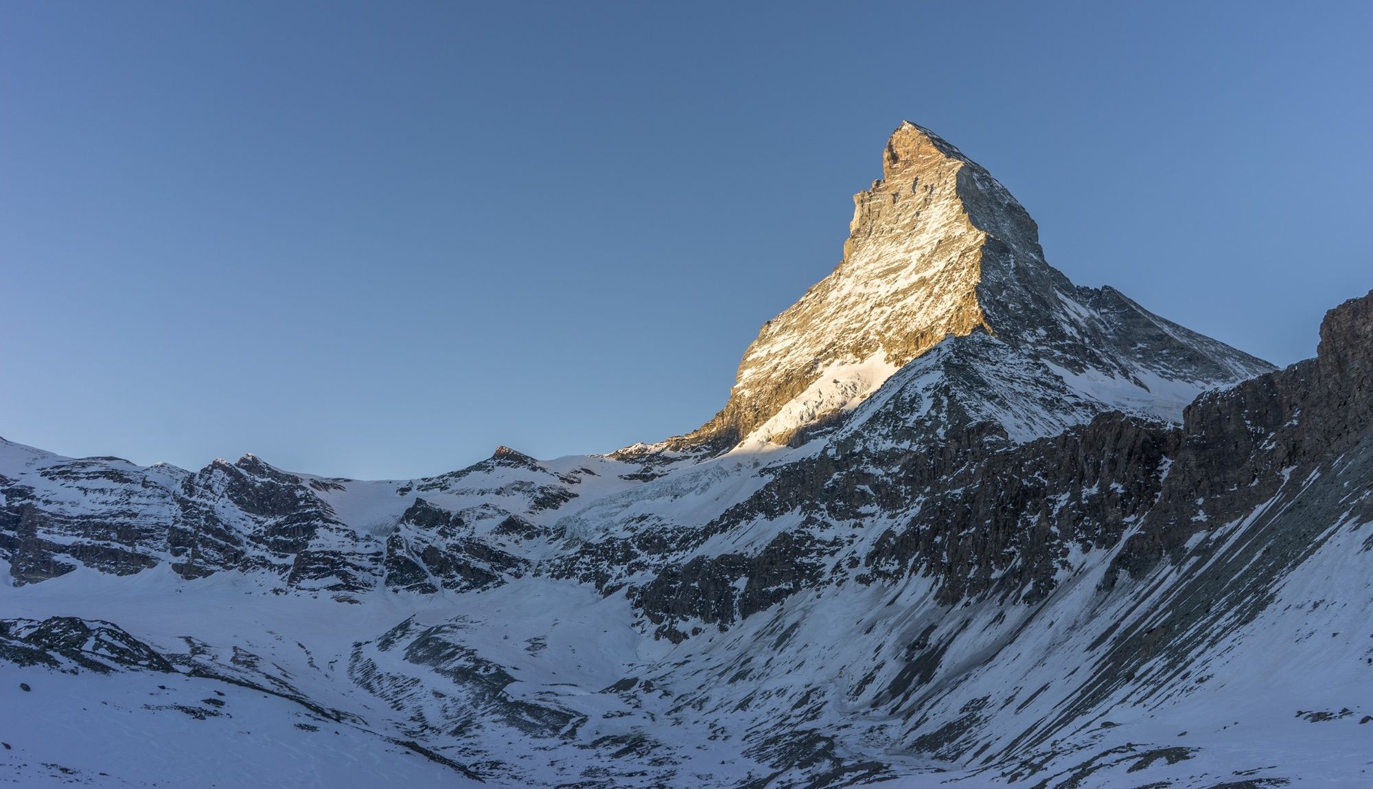
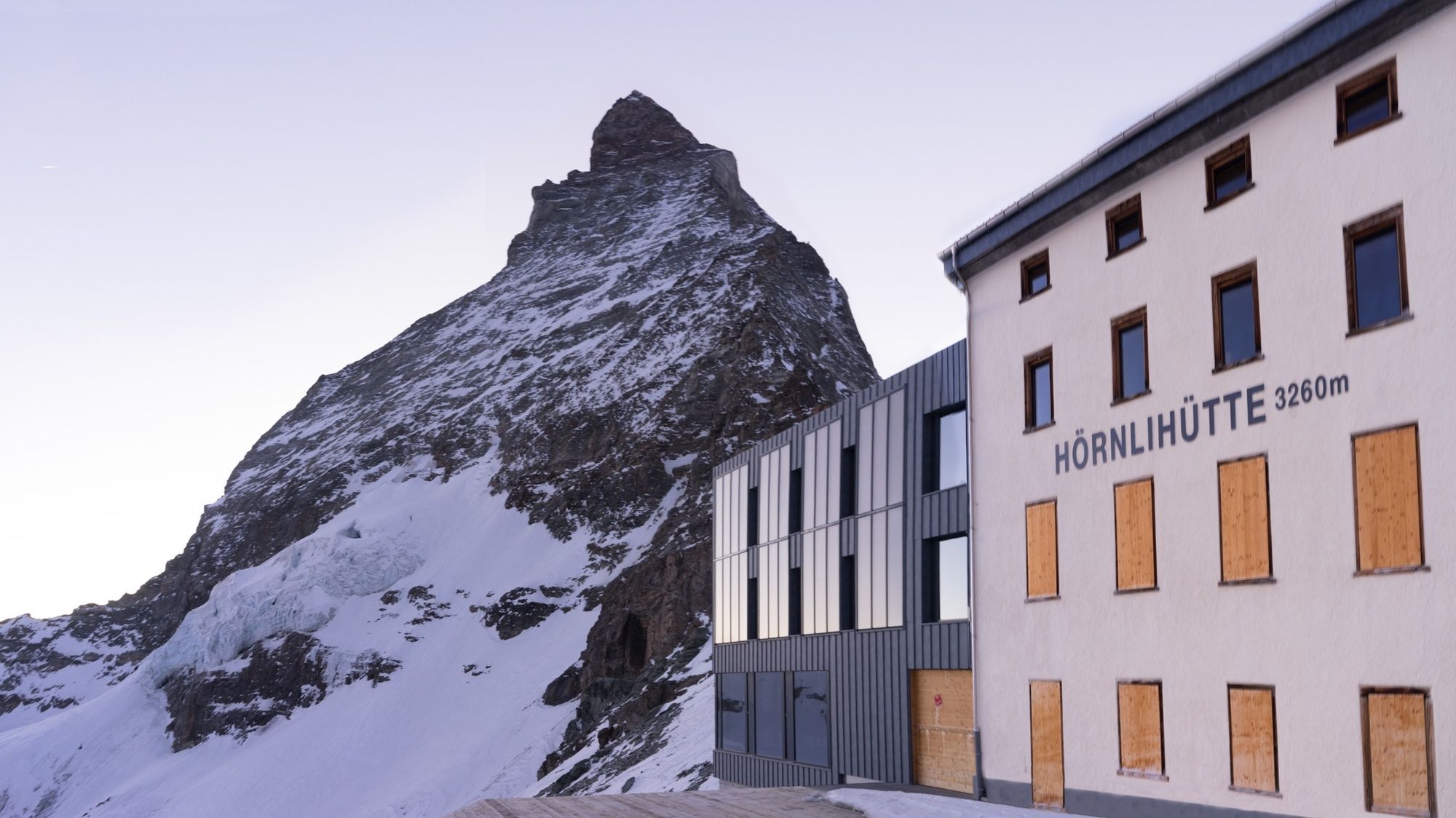
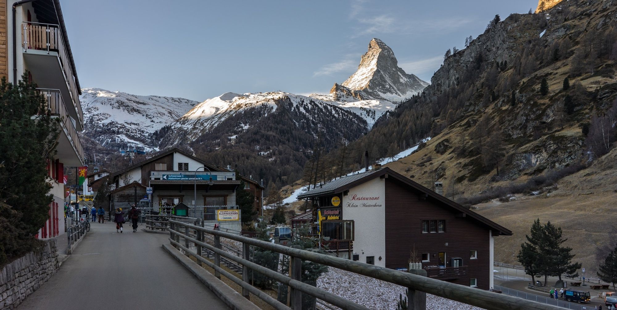
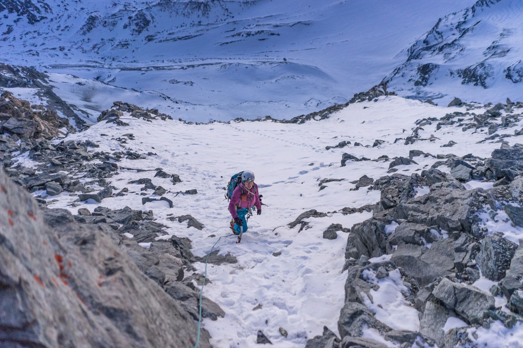
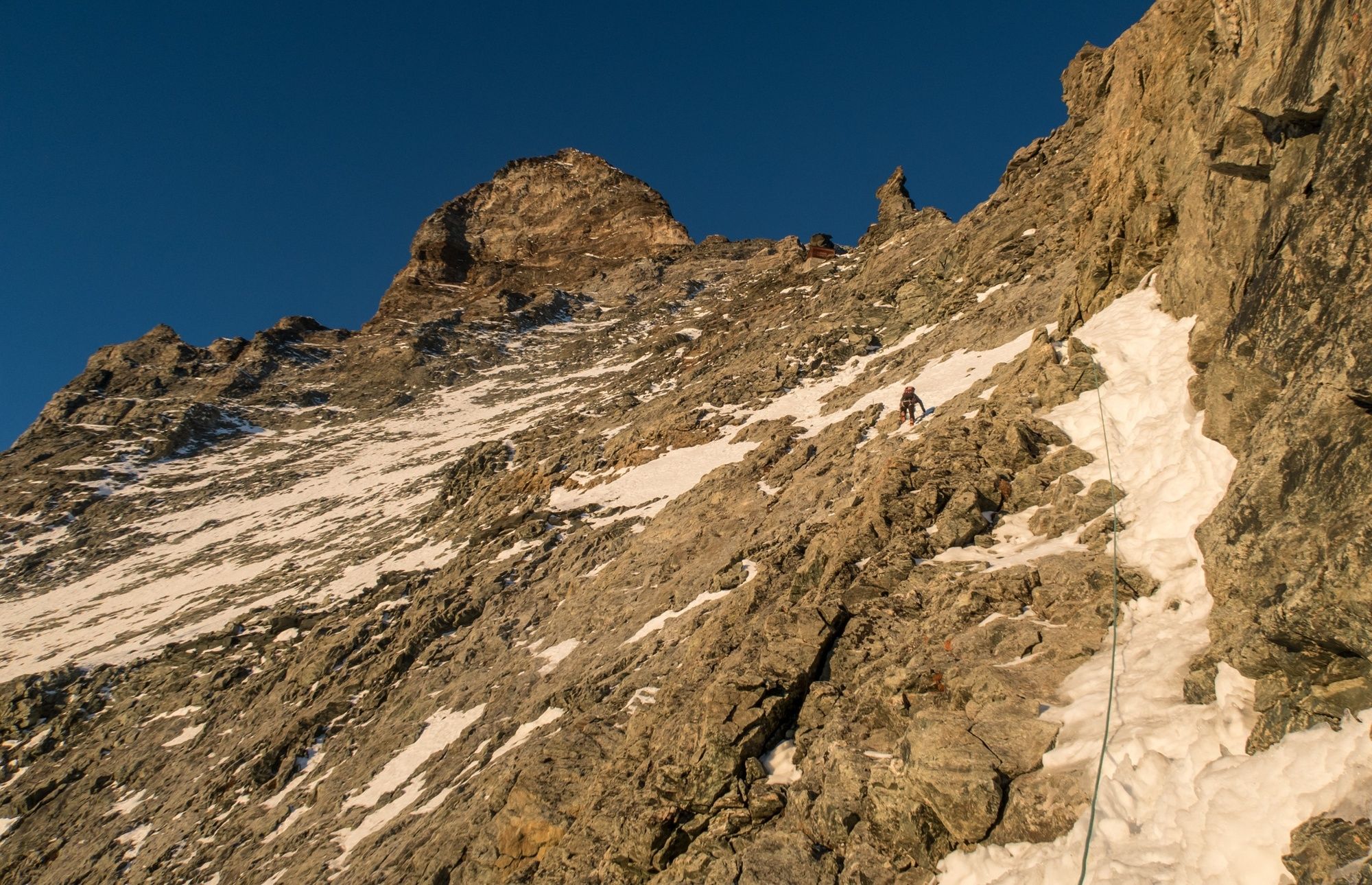
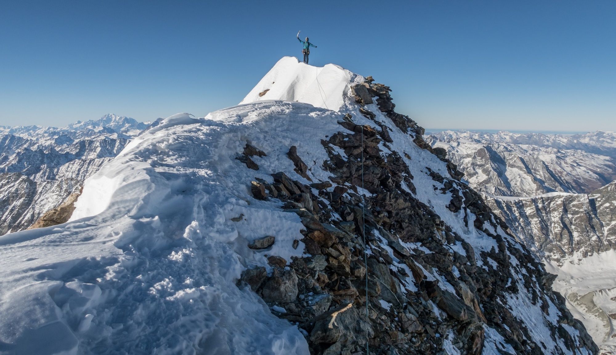
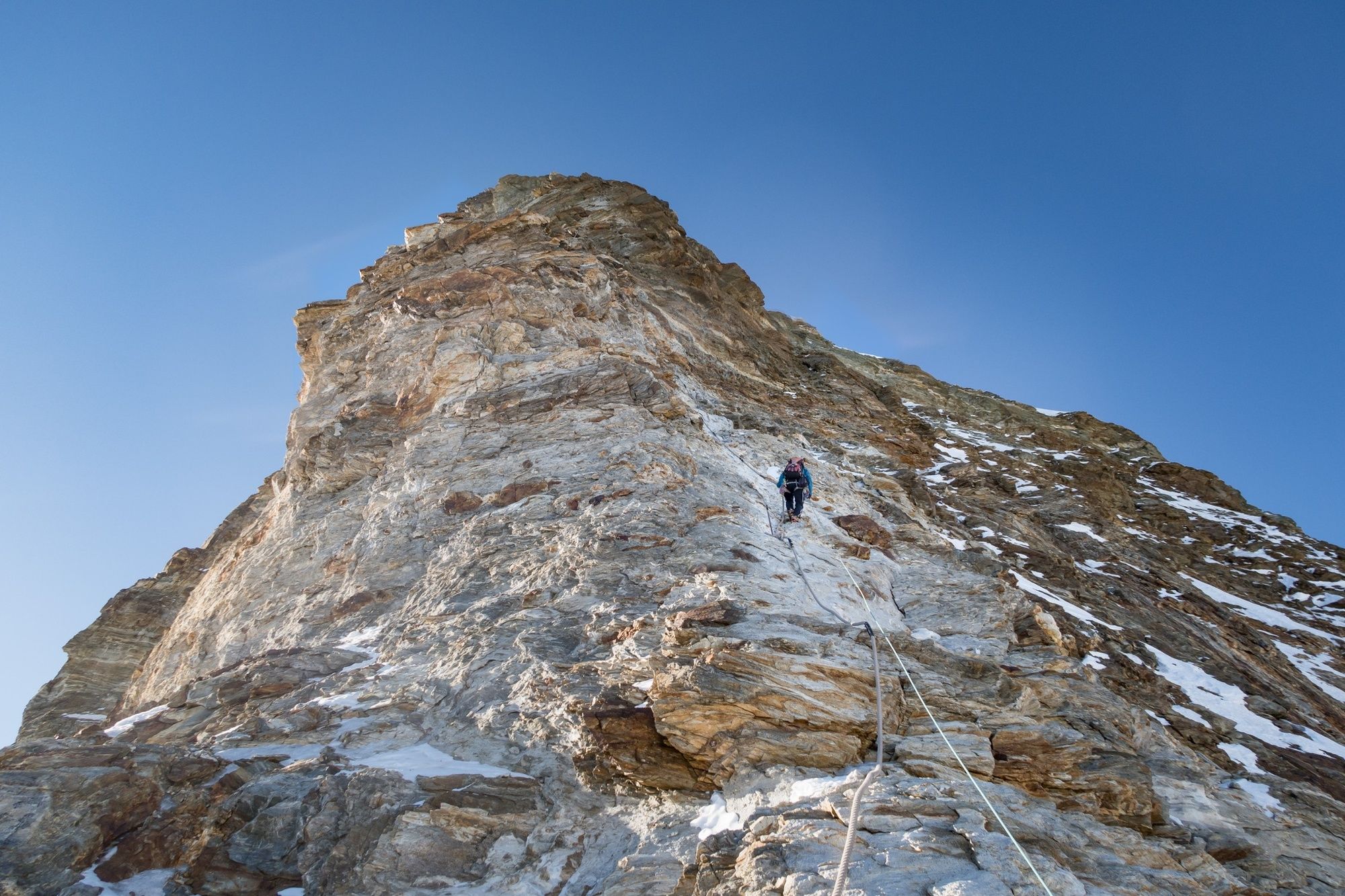
Mighty and majestic: The Matterhorn is one of the most coveted four-thousanders and, for alpinists, it is a dream carved out of rock – extremely beautiful and extremely difficult.
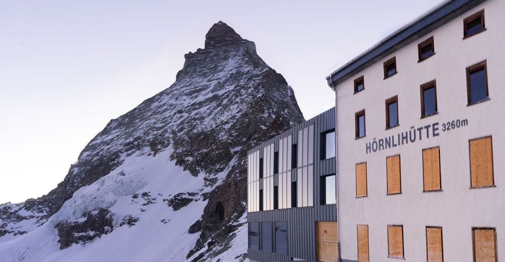
Duration: 2 hours approach to the hut, 5–6-hour climb to the summit
- Dificultad
-
difícil
- Valoración
-
- Ruta
-
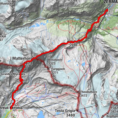
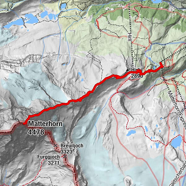
Schwarzsee paradise0,1 kmSchwarzsee (2.588 m)0,1 kmHörnlihütte (3.260 m)4,6 kmGelbes Band (3.570 m)5,3 kmP3746 (3.746 m)5,6 kmCervino (4.478 m)6,5 km
- La mejor temporada
-
enefebmarabrmayjunjulagosepoctnovdic
- Punto álgido
- 4.460 m
- Punto final
-
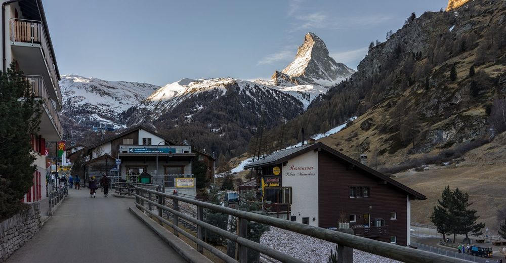
Zermatt
- Perfil alto
-
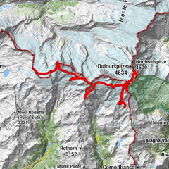
 © outdooractive.com
- Autor
-
La gira ORTOVOX tour tip: Matterhorn via the Hörnli Ridge es utilizado por outdooractive.com proporcionado.
GPS Downloads


Información general
Vistas panorámicas
Más circuitos por las regiones
-
Unterwallis
23
-
Mattertal
25
-
Zermatt
19