© Kleinwalsertal Tourismus eGen - Kleinwalsertal Tourismus eGen | Fotograf @Dominik Berchtold

© Kleinwalsertal Tourismus eGen - Kleinwalsertal Tourismus eGen | Fotograf @Dominik Berchtold

© Kleinwalsertal Tourismus eGen | Fotograf: Oliver Farys

© Kleinwalsertal - Kleinwalsertal Tourismus eGen

© Kleinwalsertal Tourismus eGen - Kleinwalsertal Tourismus eGen | Fotograf: Frank Drechsel

© Kleinwalsertal Tourismus eGen - Kleinwalsertal Tourismus eGen | Fotograf: Hans Wiesenhofer

- Breve descripción
-
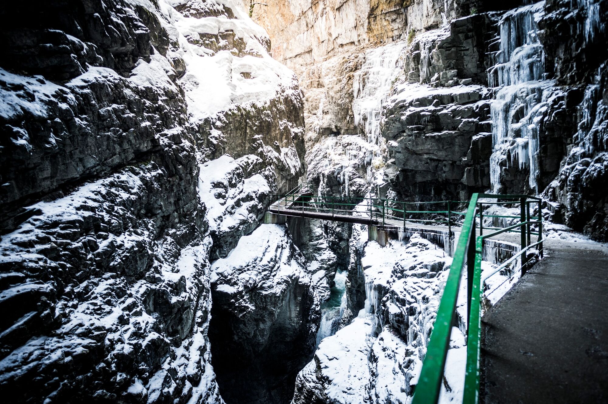
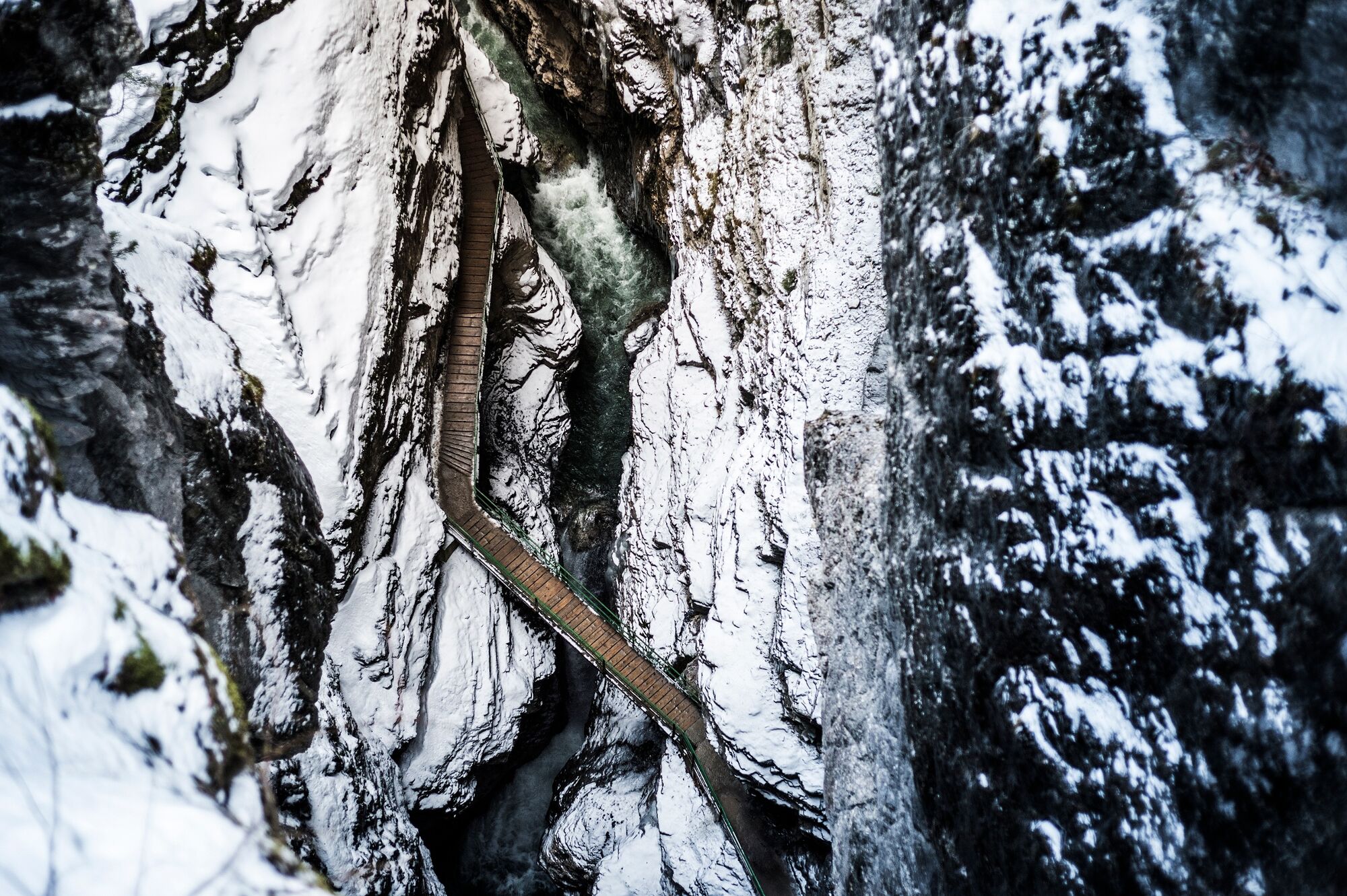
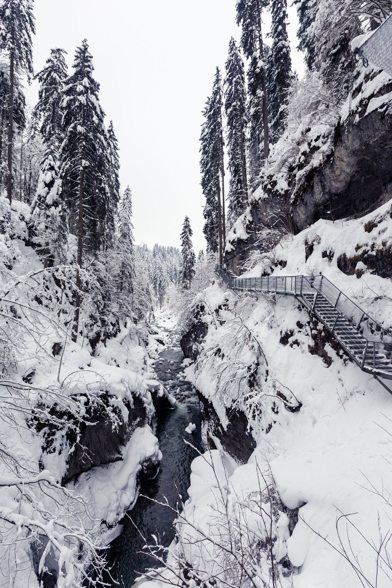
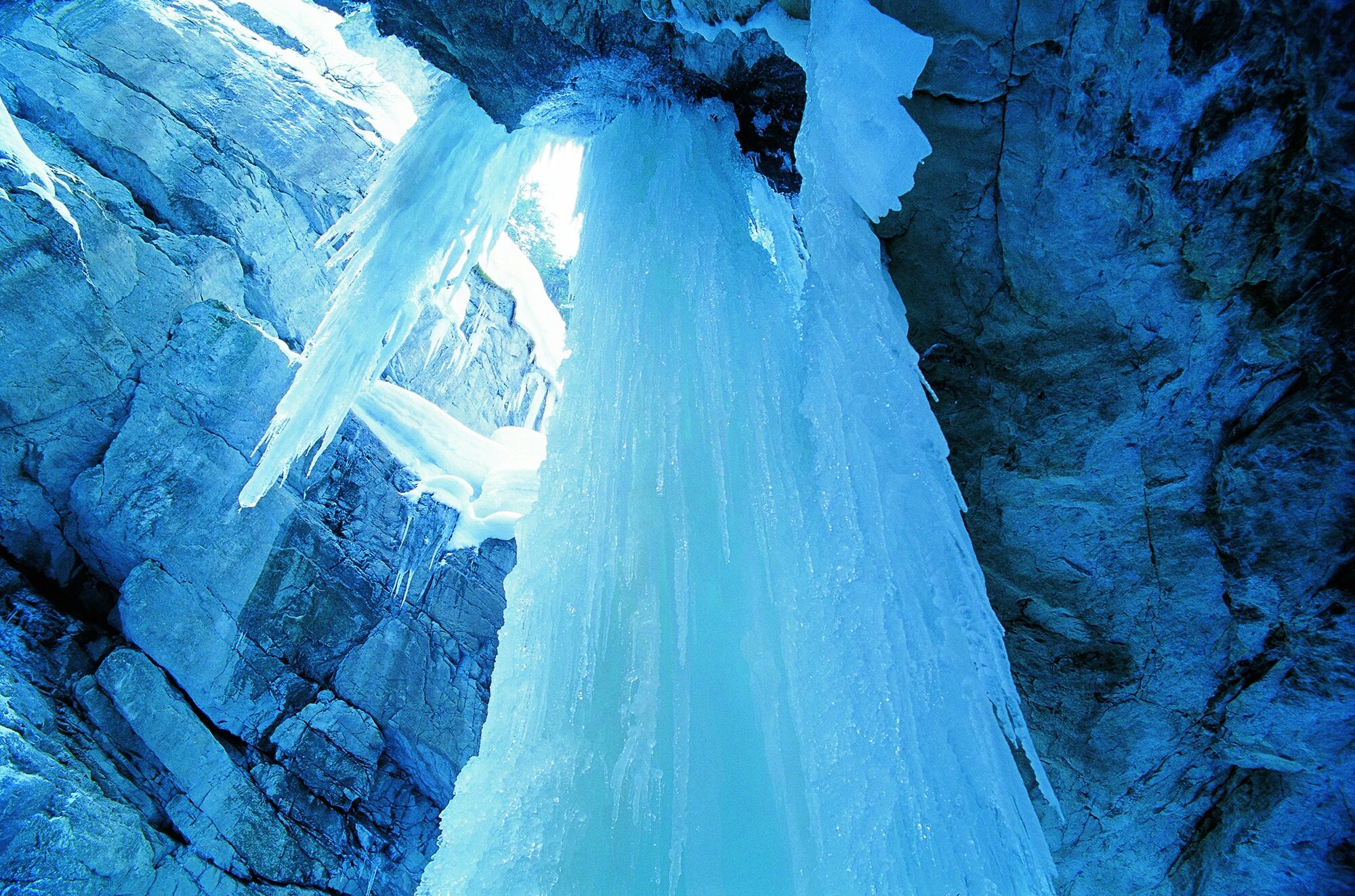
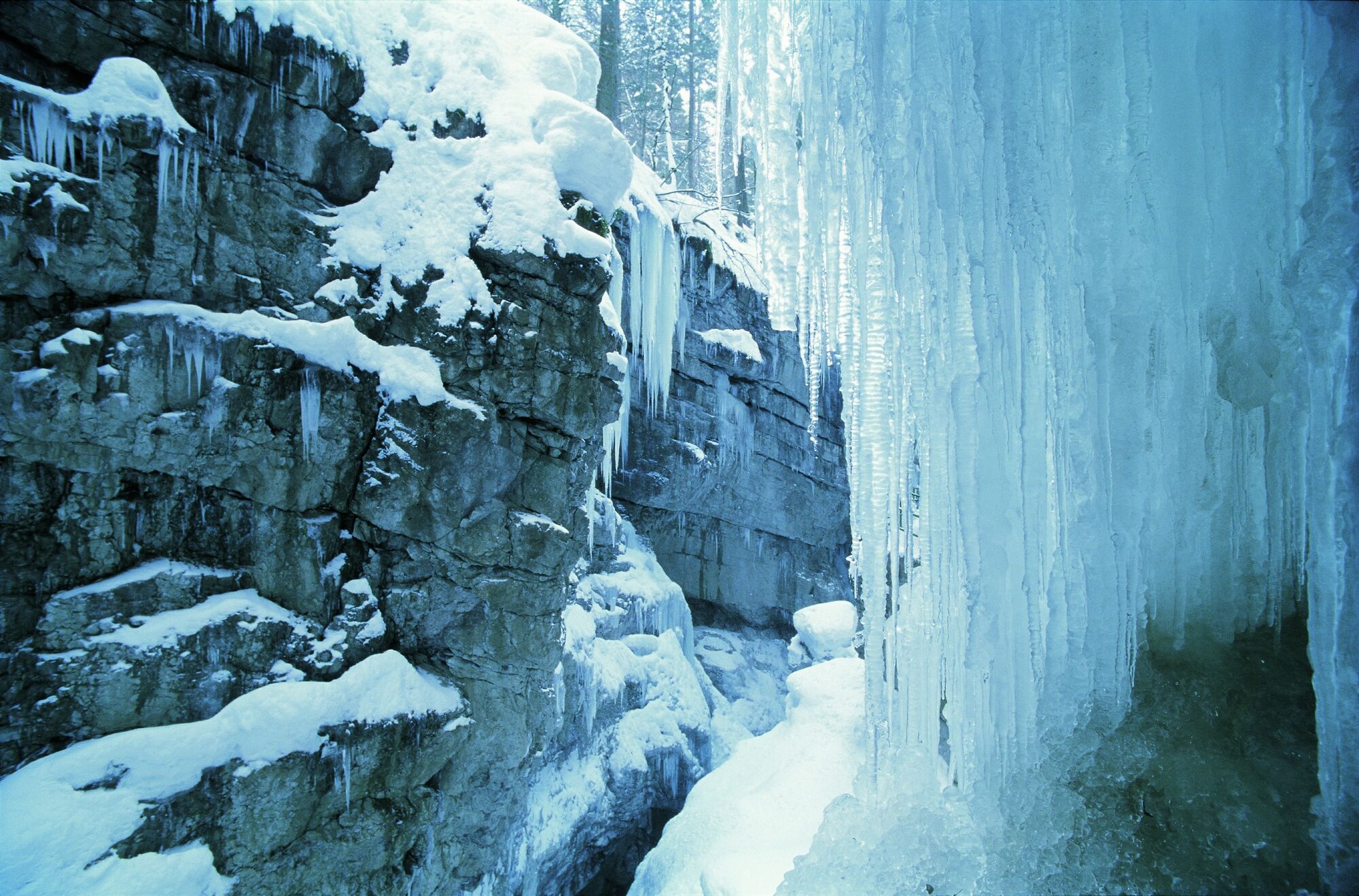
If you like ice and snow you will love this tour to the Breitachklamm Gorge! An easy hike on varied hiking trails from Riezlern along the small river Breitach.
- Dificultad
-
medio
- Valoración
-
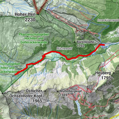
- Ruta
-
Breitachklammkapelle2,9 kmGasthaus Breitachklamm3,2 km
- La mejor temporada
-
agosepoctnovdicenefebmarabrmayjunjul
- Punto álgido
- 989 m
- Punto final
-
Riezlern
- Perfil alto
-

- Autor
-
La gira Breitachklamm Gorge es utilizado por outdooractive.com proporcionado.
GPS Downloads


Información general
Punto de avituallamiento
Vistas panorámicas
Más circuitos por las regiones