
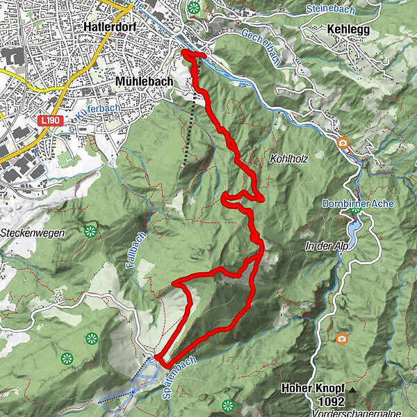
Datos del tour
14,59km
356
- 1.411m
1.009hm
1.110hm
04:02h
- Breve descripción
-
Von der Talstation auf den Karren - um die Staufenspitze und danach Hoch
- Dificultad
-
medio
- Valoración
-
- Ruta
-
Karrenseilbahn Talstation0,0 kmDornbirn (437 m)0,4 kmBürgle (852 m)0,9 kmStaufenkapelle4,6 kmStaufenalpe4,8 kmStaufen (1.465 m)8,8 kmStaufenalpe10,0 kmStaufenkapelle10,1 kmBürgle (852 m)13,8 km
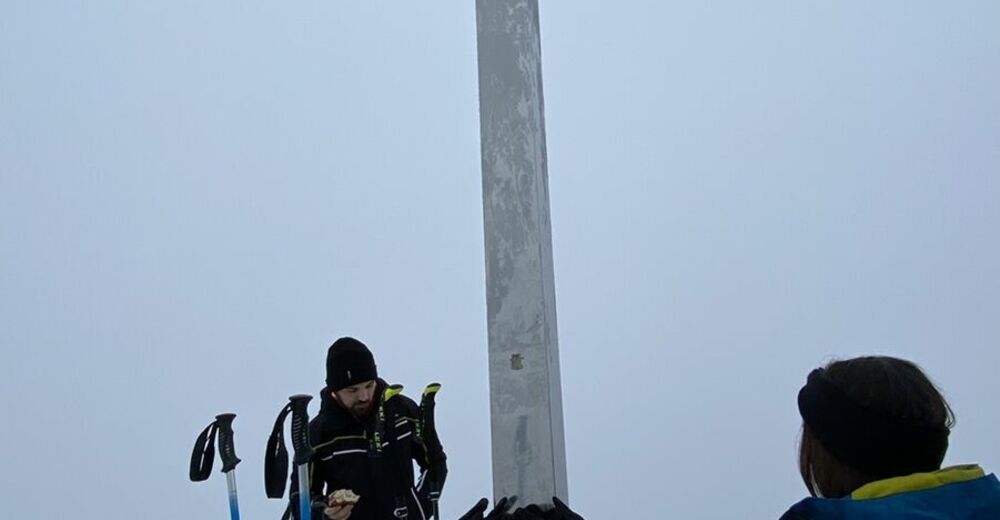
- Punto álgido
- 1.411 m


GPS Downloads


Más circuitos por las regiones
-
St. Gallen - Bodensee
2067
-
Bodensee - Vorarlberg
1317
-
Dornbirn
450


