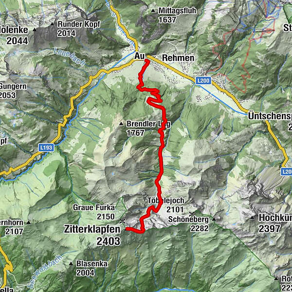
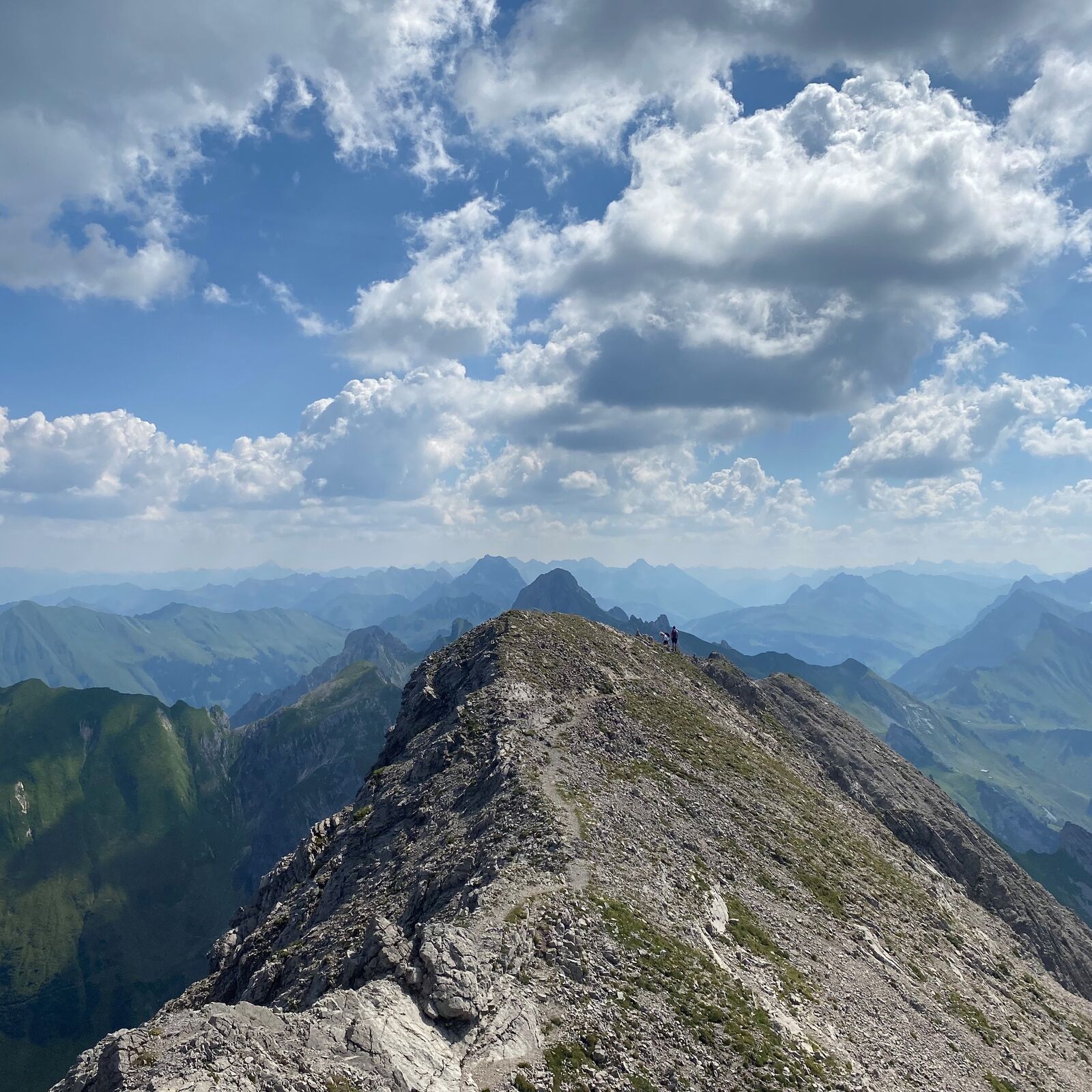
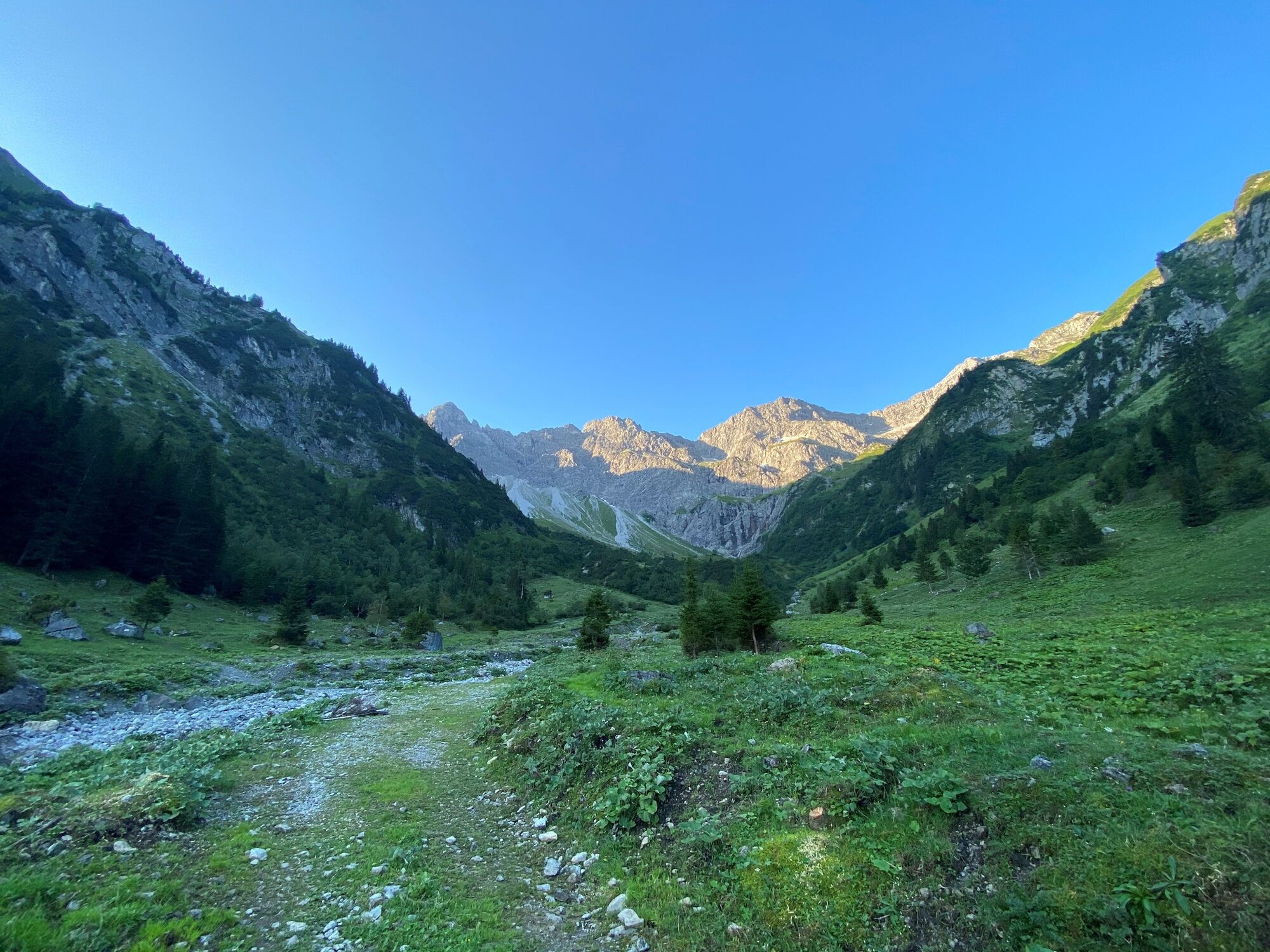
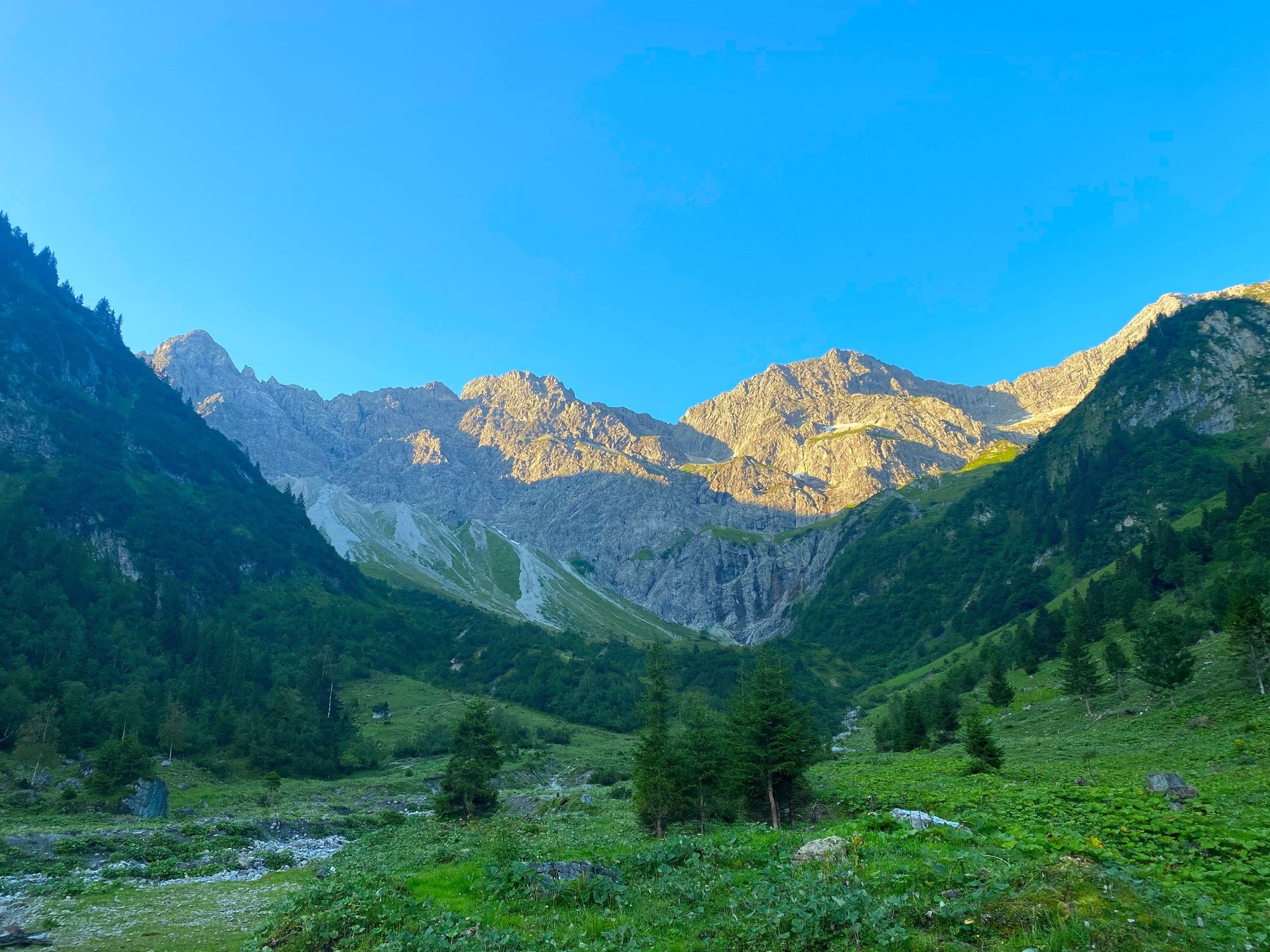
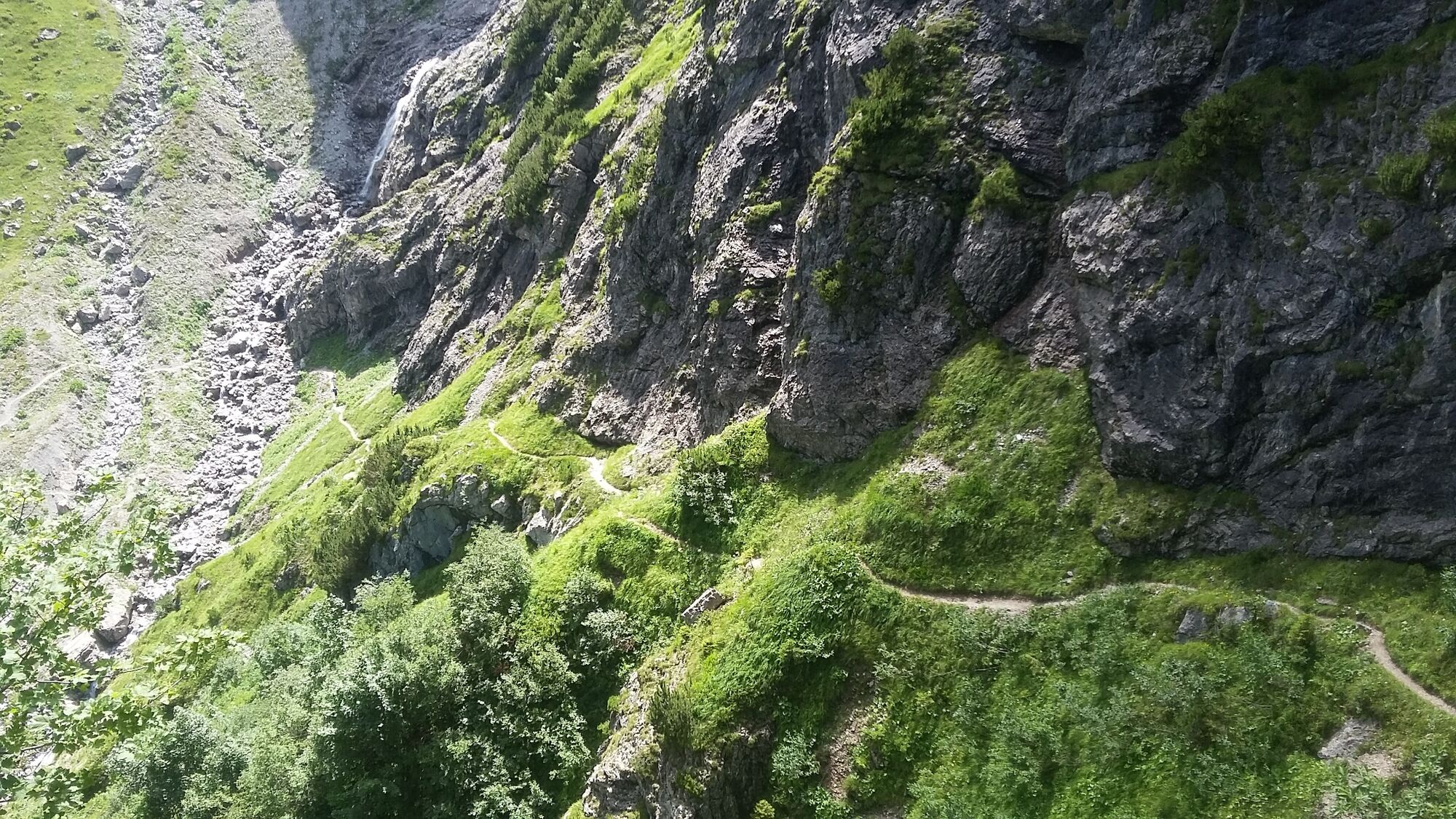
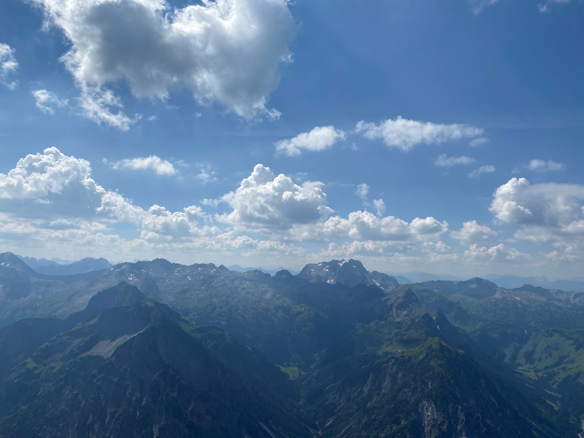
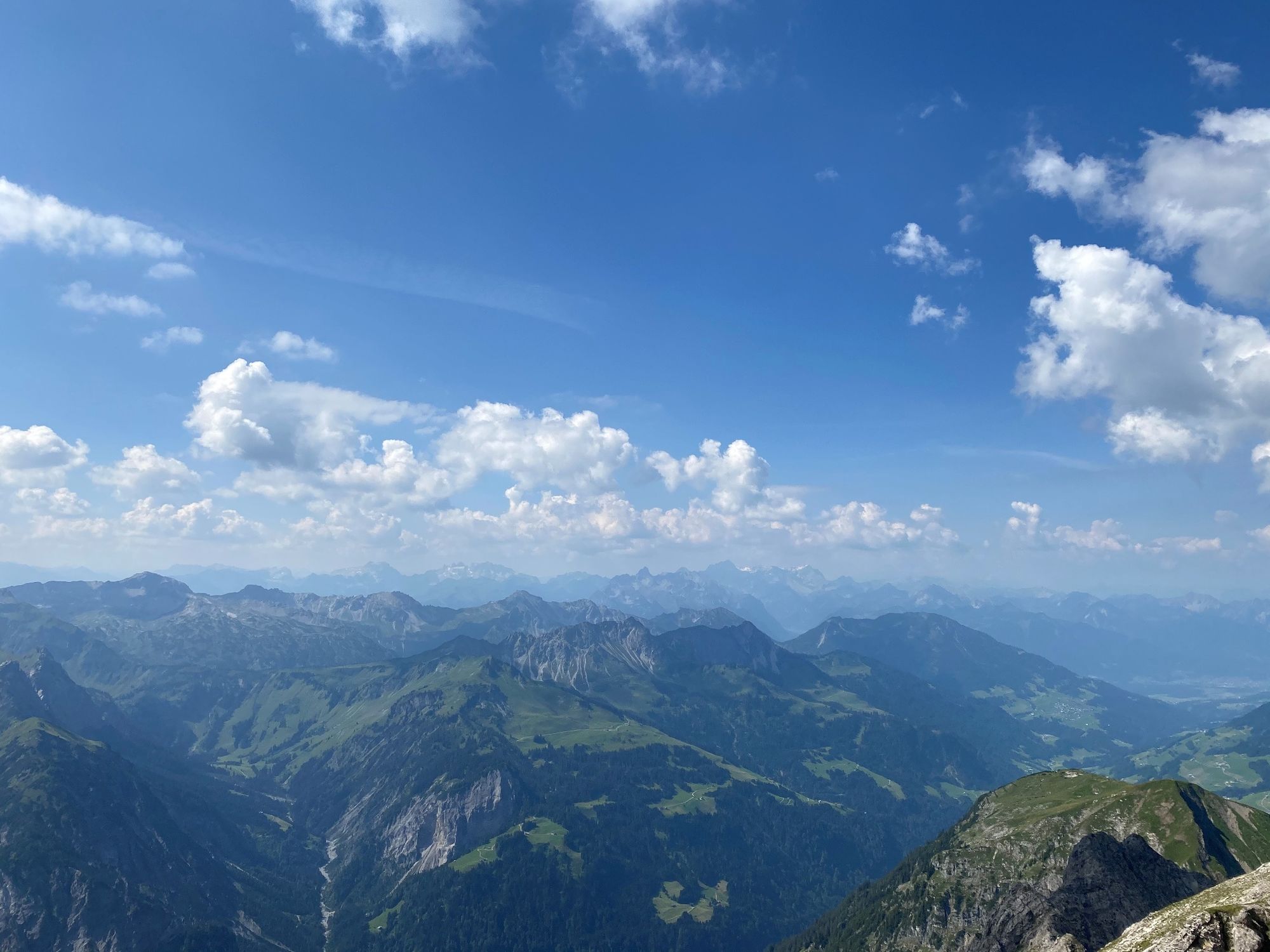
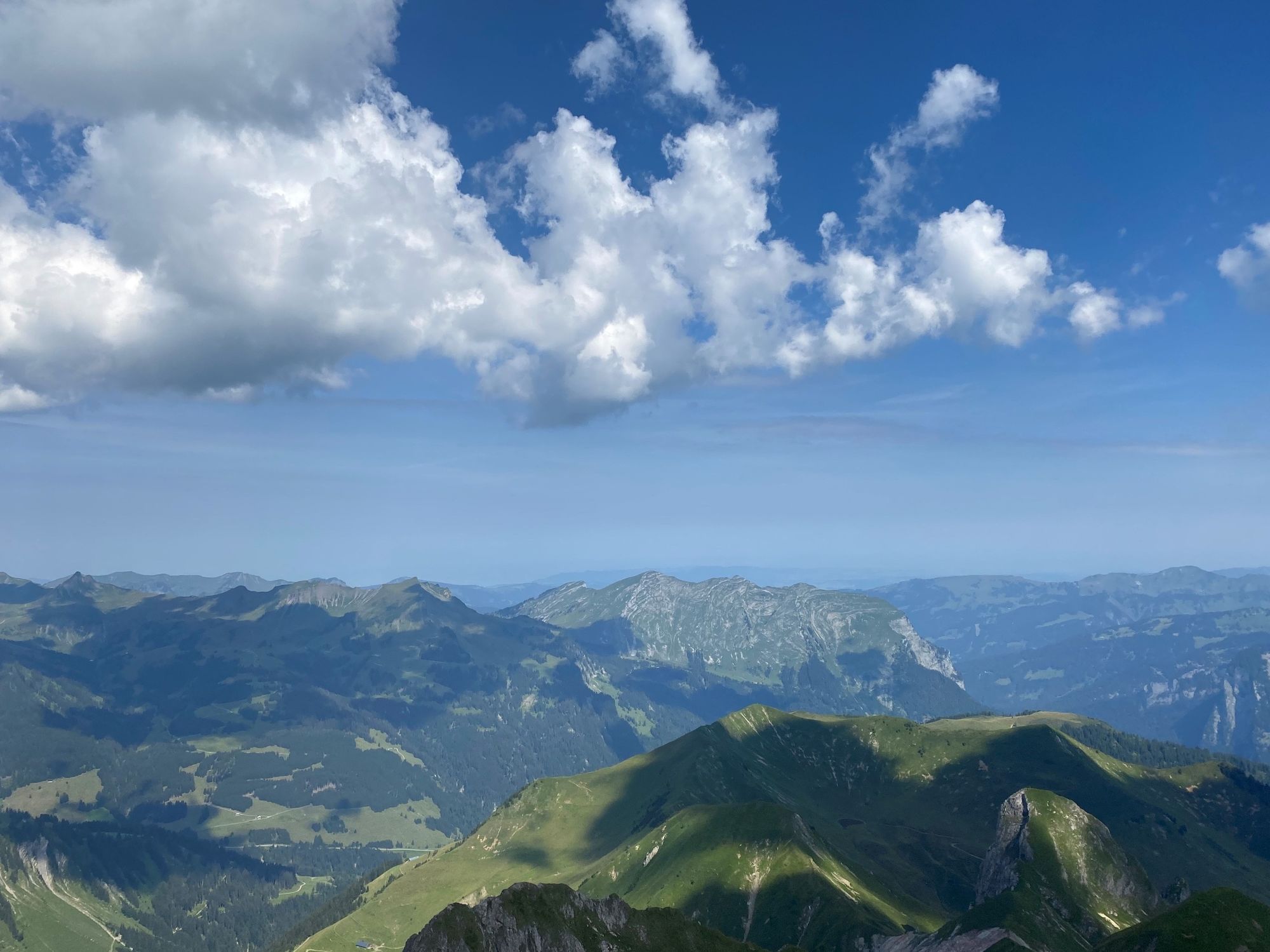
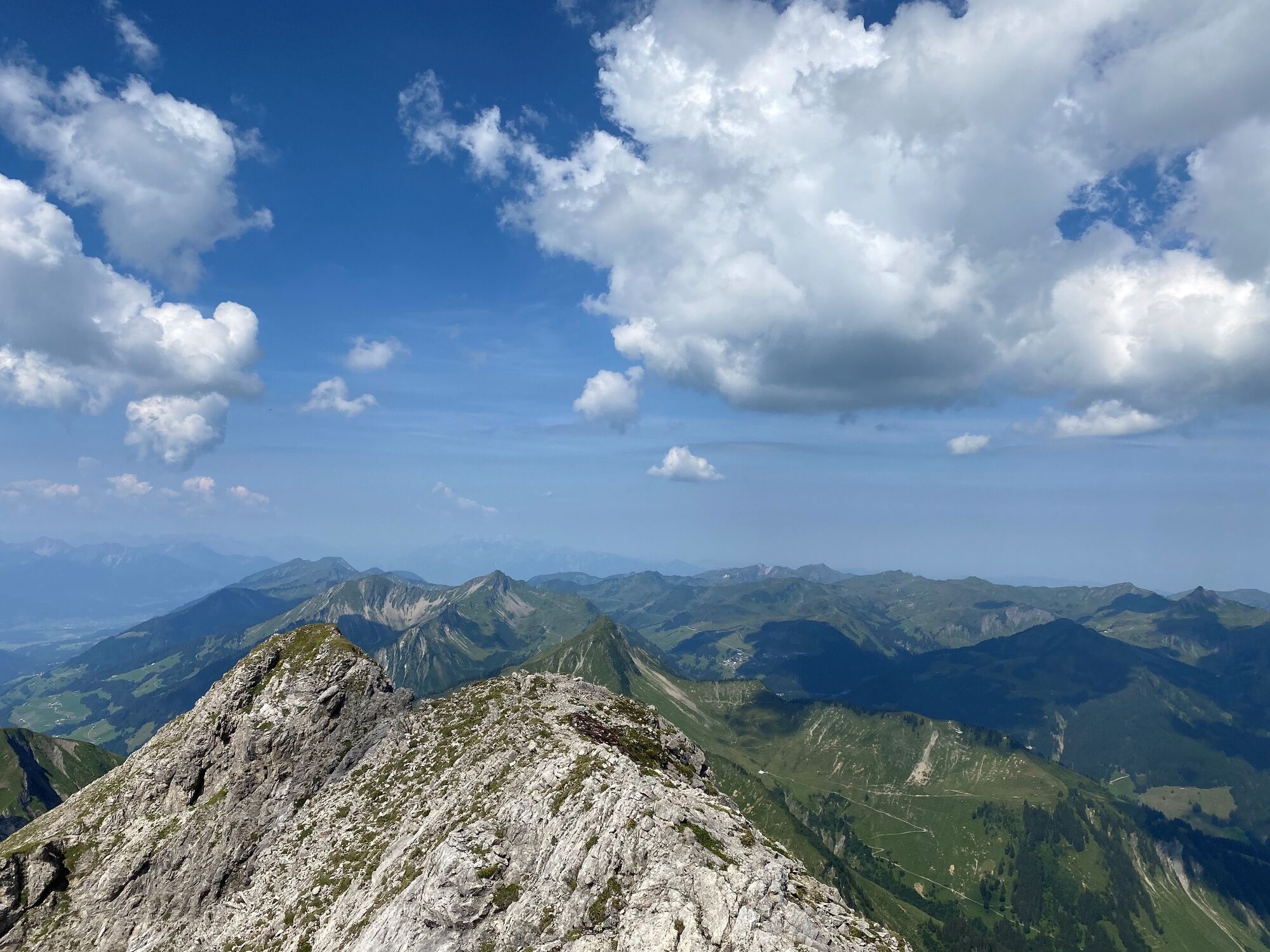
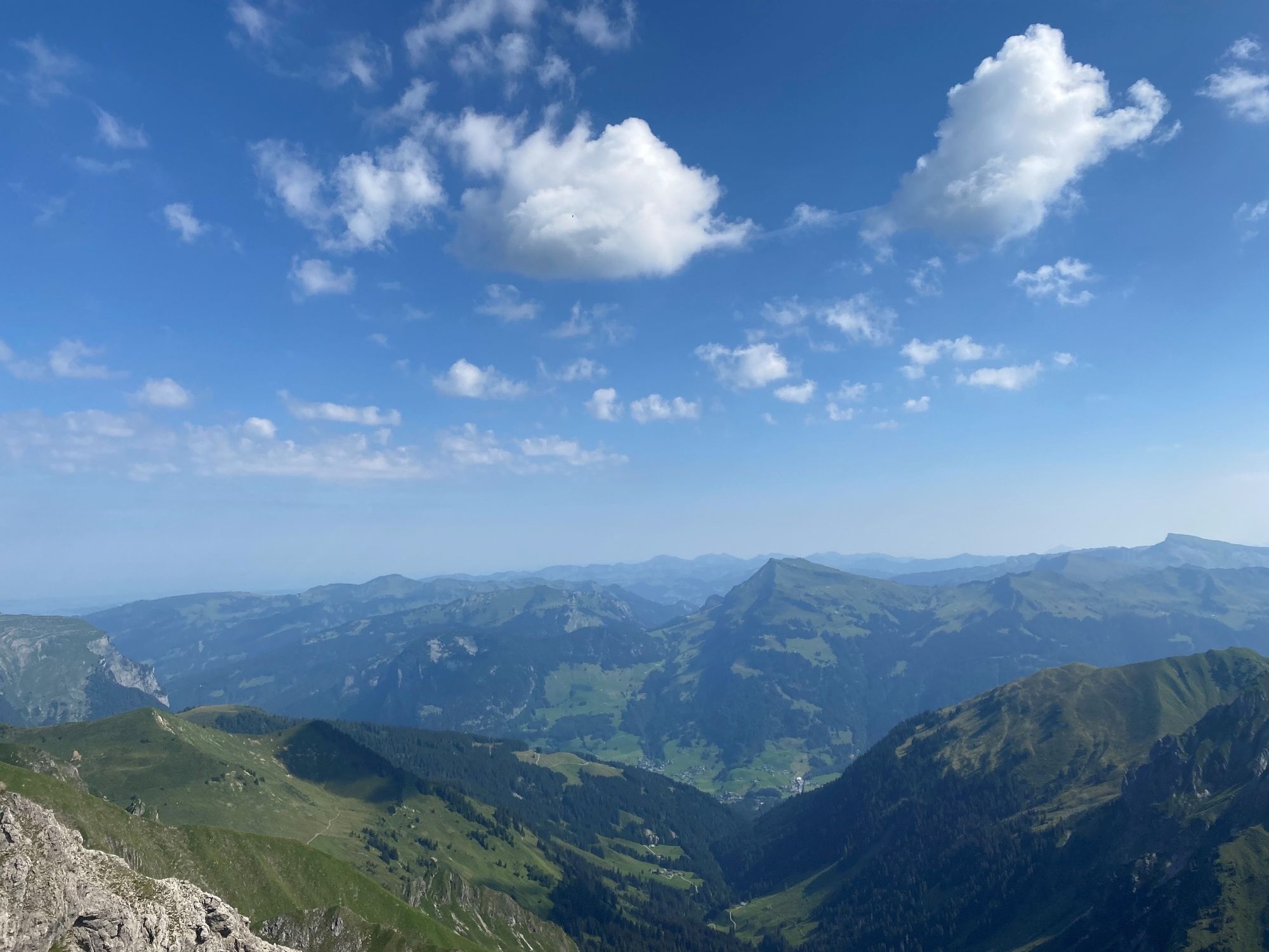
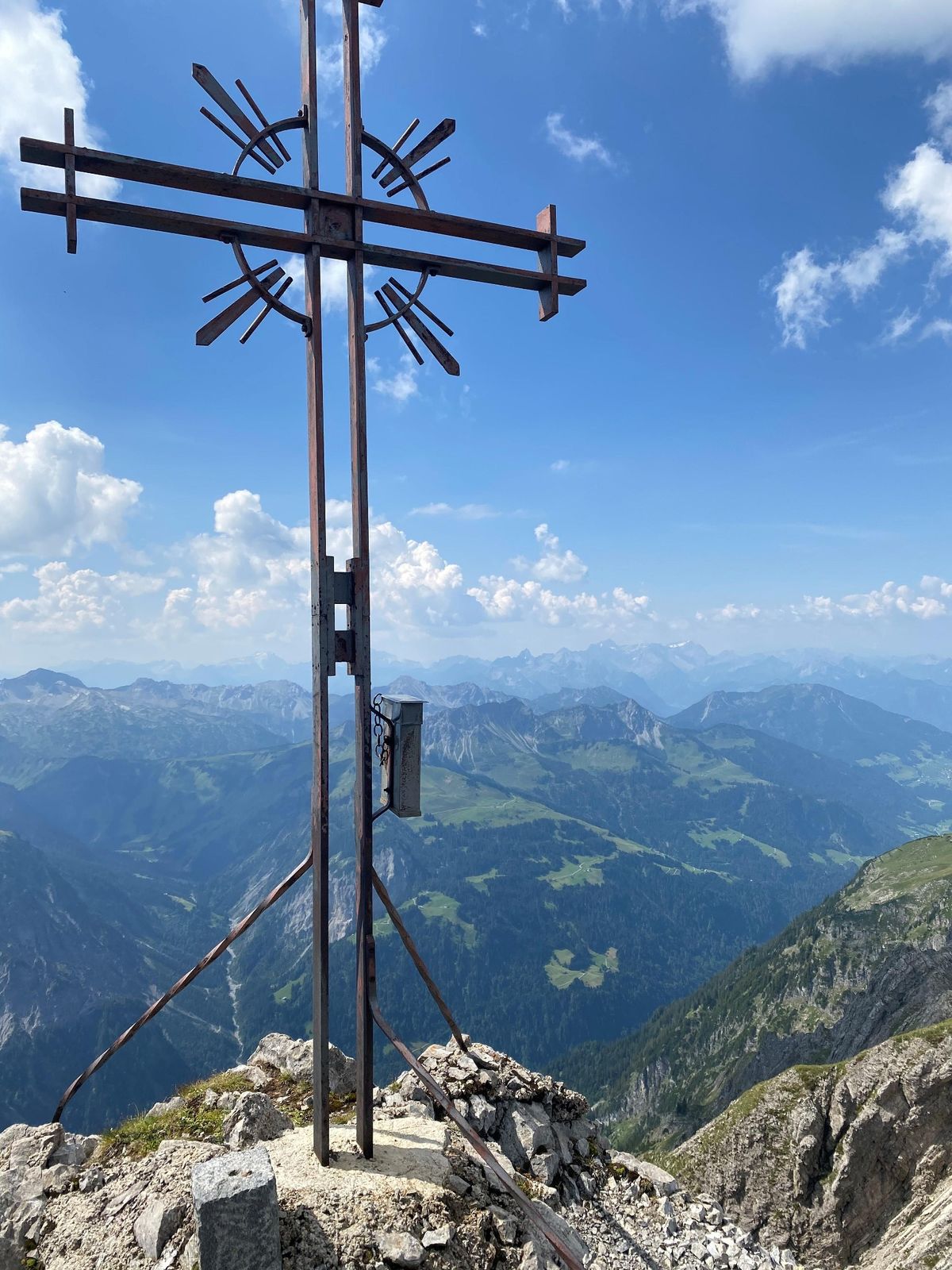
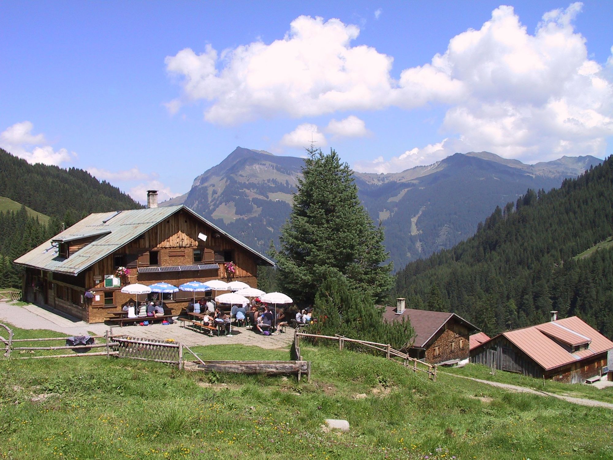
Au-Schoppernau | climbing up to the Zitterklapfen

Senderismo

© Unbekannt - Simone Gridling

© Unbekannt - Simone Gridling

© Unbekannt - Simone Gridling

© Au-Schoppernau Tourismus - Monika Albrecht

© Unbekannt - Simone Gridling

© Au-Schoppernau Tourismus - Simone Gridling

© Unbekannt - Simone Gridling

© Unbekannt - Simone Gridling

© Unbekannt - Simone Gridling

© Unbekannt - Simone Gridling

- Breve descripción
-
Au-Argenau (tourist office 810m) - Bodenvorsäß - Annaleraualpe - Zitterklapfen (2.403m) - return to Au via the same way
- Dificultad
-
difícil
- Valoración
-
- Ruta
-
Au (800 m)Bodenvorsäß (1.215 m)5,8 kmZitterklapfen (2.403 m)11,4 kmBodenvorsäß (1.215 m)16,9 kmAu (800 m)22,7 km
- La mejor temporada
-
enefebmarabrmayjunjulagosepoctnovdic
- Punto álgido
- 2.397 m
- Punto final
-
Tourist Office Au
- Perfil alto
-

-

-
AutorLa gira Au-Schoppernau | climbing up to the Zitterklapfen es utilizado por outdooractive.com proporcionado.
GPS Downloads


Información general
Punto de avituallamiento
Vistas panorámicas
Más circuitos por las regiones
-
Bregenzerwald
2300
-
Au - Schoppernau
758


