

© Vorarlberg Tourismus GmbH - Dietmar Denger

© Vorarlberg Tourismus GmbH - Dietmar Denger

© Vorarlberg Tourismus GmbH - Dietmar Denger

© Alpenregion Bludenz Tourismus GmbH - Monika Bischof
- Breve descripción
-
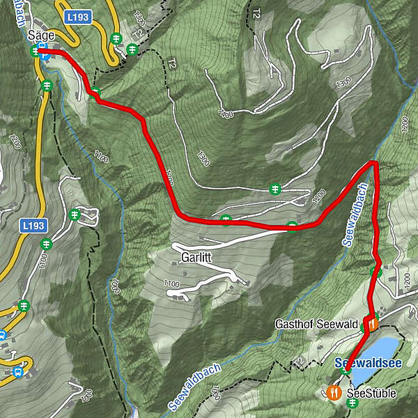
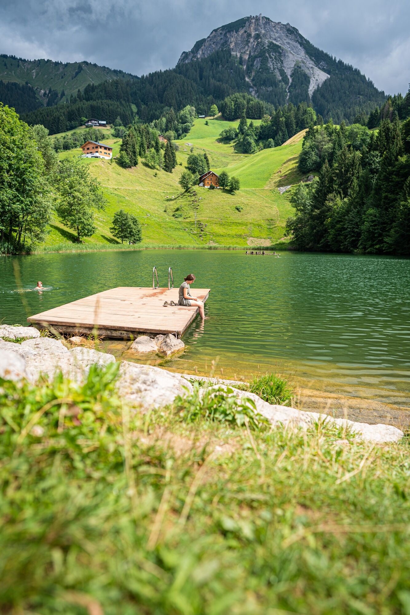
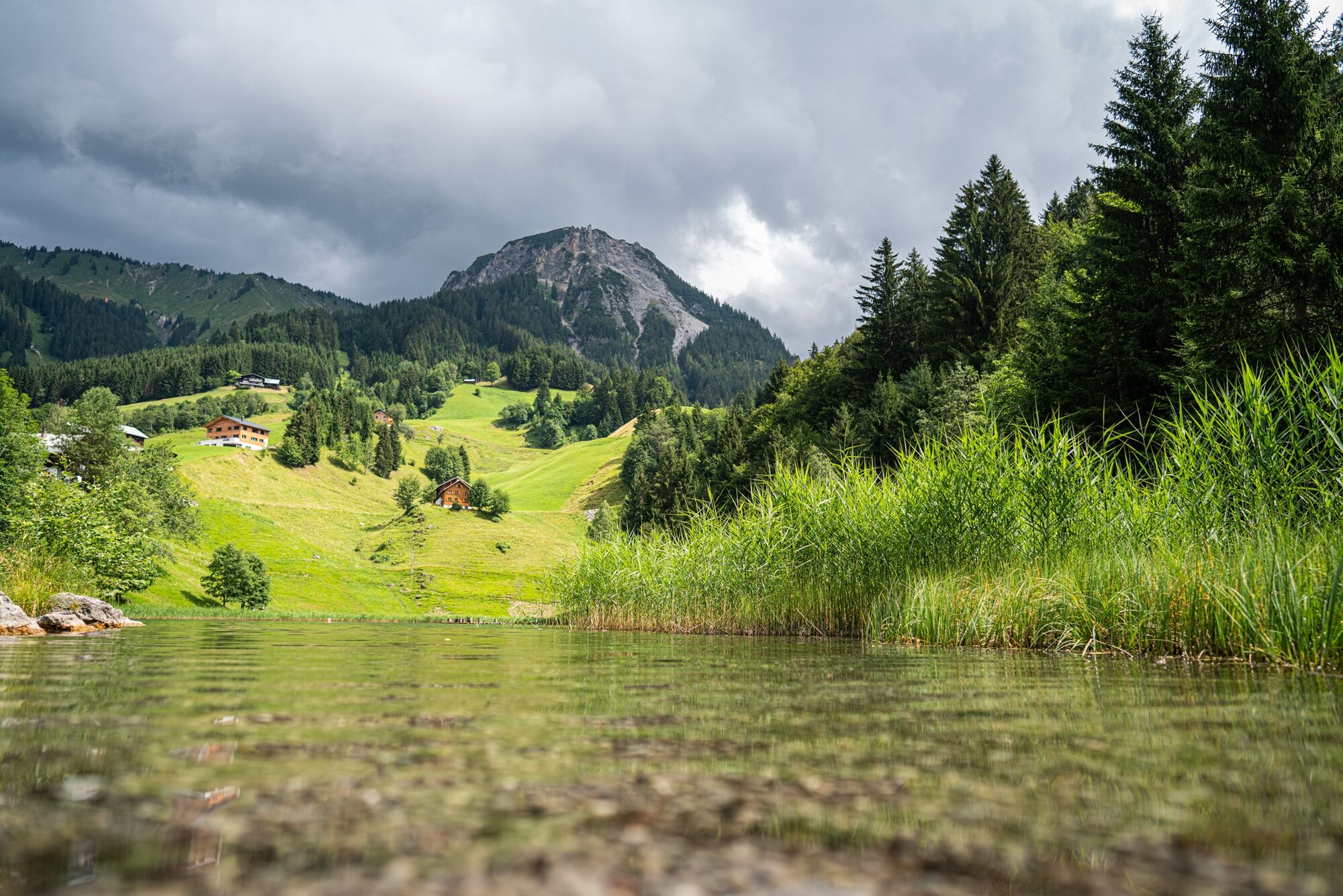
The hike to the Seewaldsee is eventful from spring to autumn in any weather and offers a wonderful panoramic view over the Grosse Walsertal.
- Dificultad
-
fácil
- Valoración
-
- Ruta
-
Säge0,0 kmGasthof Seewald2,2 kmGarlitt3,3 kmSäge4,2 km
- La mejor temporada
-
enefebmarabrmayjunjulagosepoctnovdic
- Punto álgido
- 1.188 m
- Punto final
-
Seewaldsee, Fontanella
- Perfil alto
-


- Autor
-
La gira To the Seewaldsee | Fontanella es utilizado por outdooractive.com proporcionado.
GPS Downloads


Información general
Punto de avituallamiento
Secreto
Vistas panorámicas
Más circuitos por las regiones


