
- Breve descripción
-
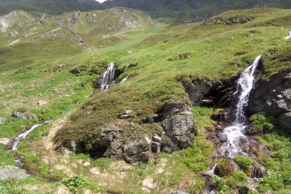
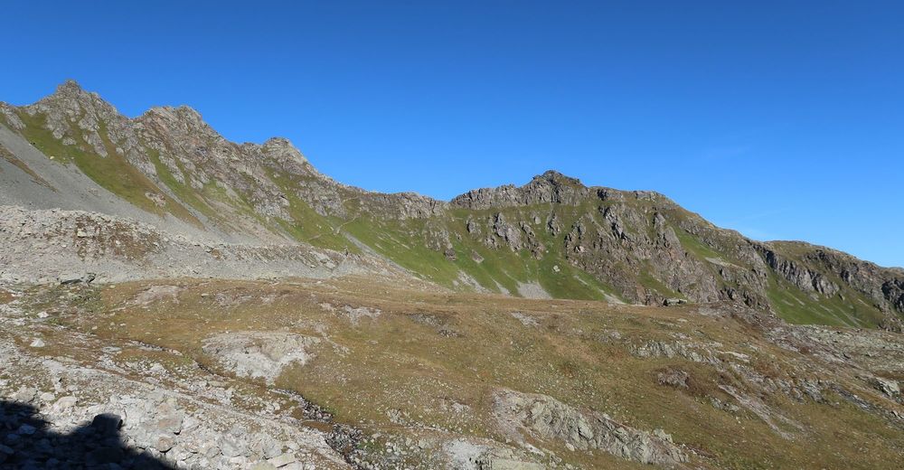
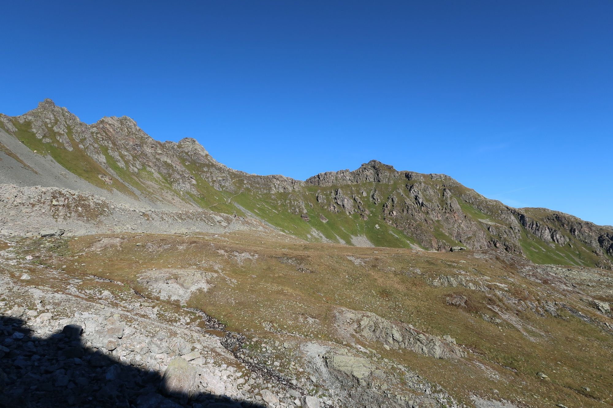
Diese Etappe der Via Alpina führt Dich in hochalpines Gelände. Du gehst die anspruchsvolle Etappe im wunderschönen Silvretta-Gebirge.
- Dificultad
-
difícil
- Valoración
-
- Ruta
-
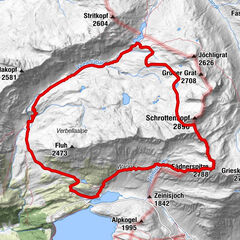
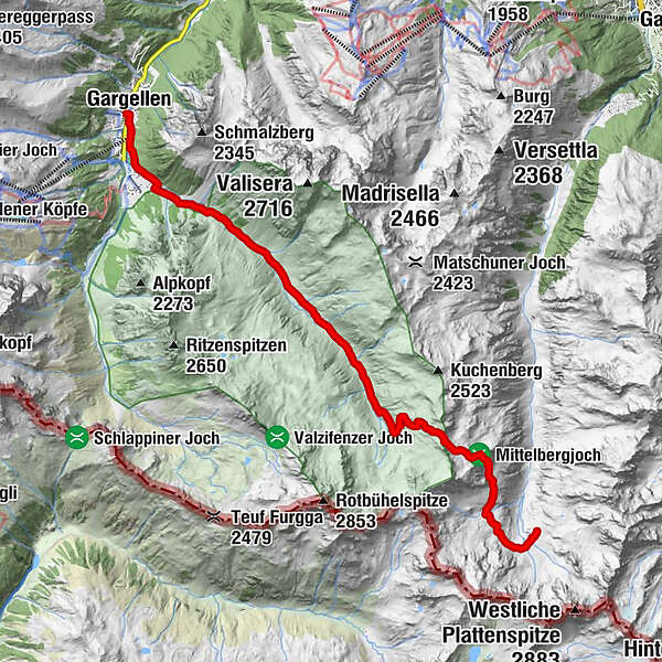
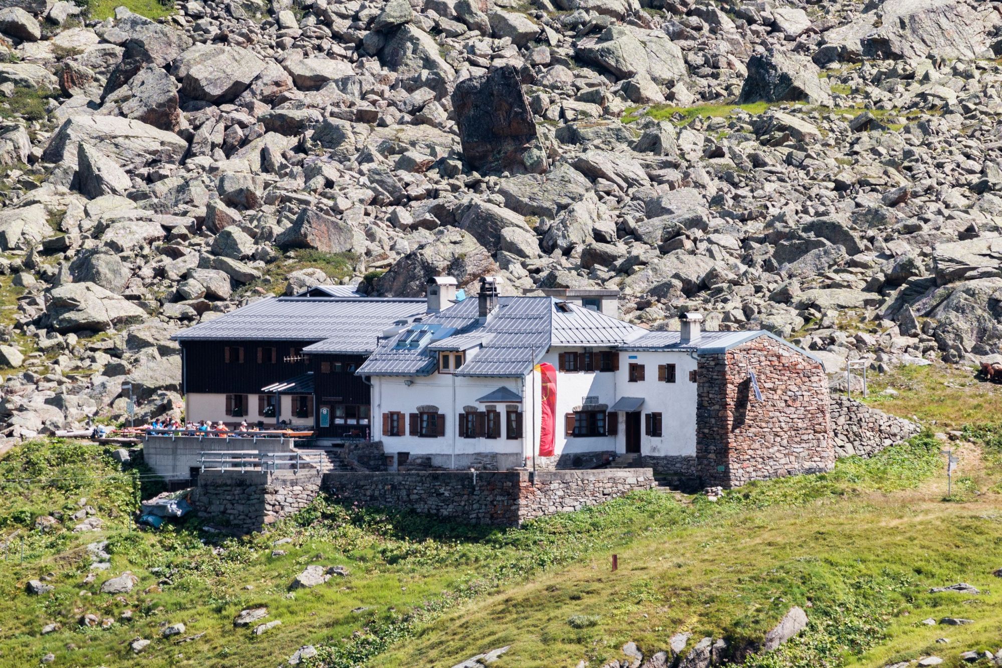
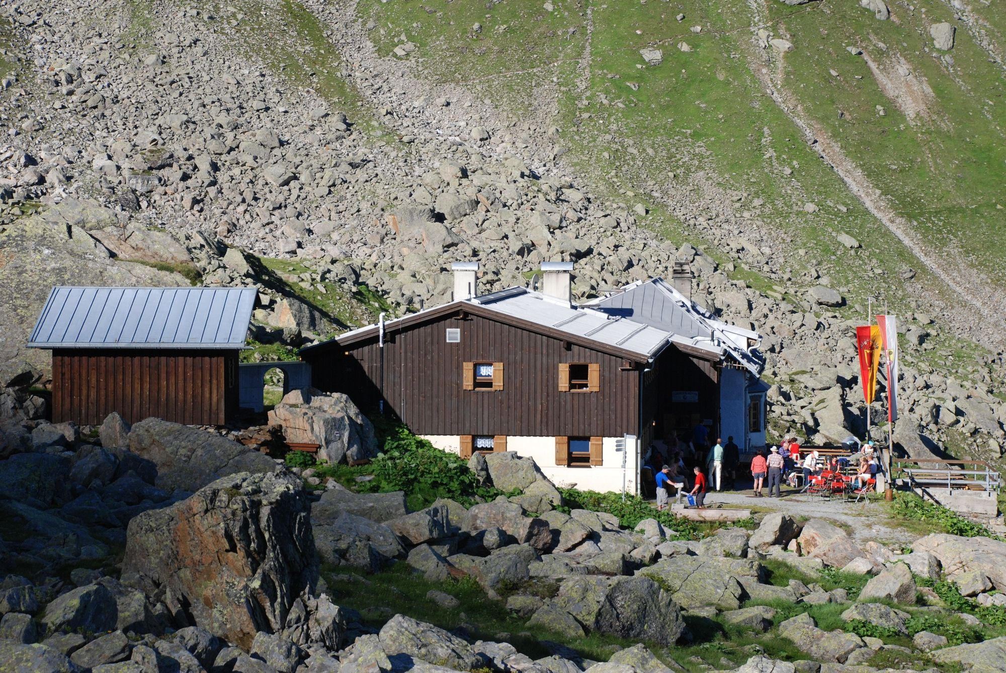
Gargellen0,0 kmRotbühel7,4 kmVergaldner Joch (2.515 m)8,8 kmTübinger Hütte12,0 km
- La mejor temporada
-
enefebmarabrmayjunjulagosepoctnovdic
- Punto álgido
- 2.504 m
- Punto final
-
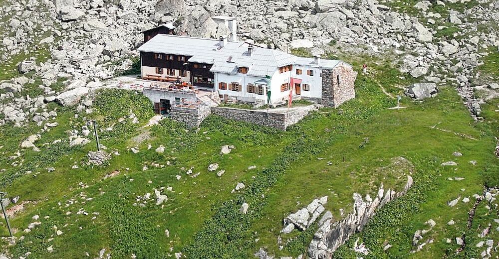
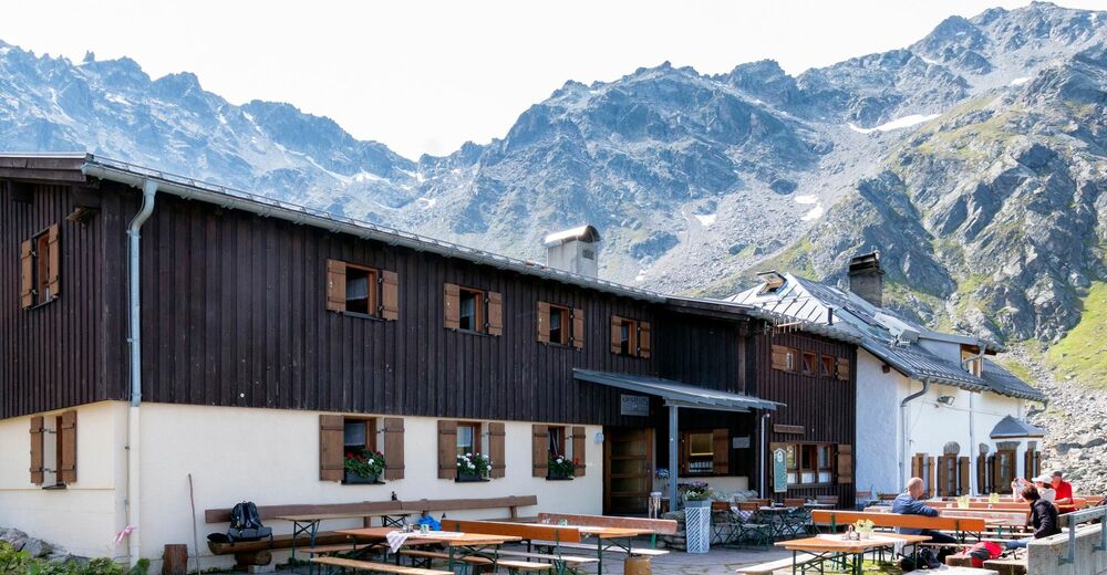
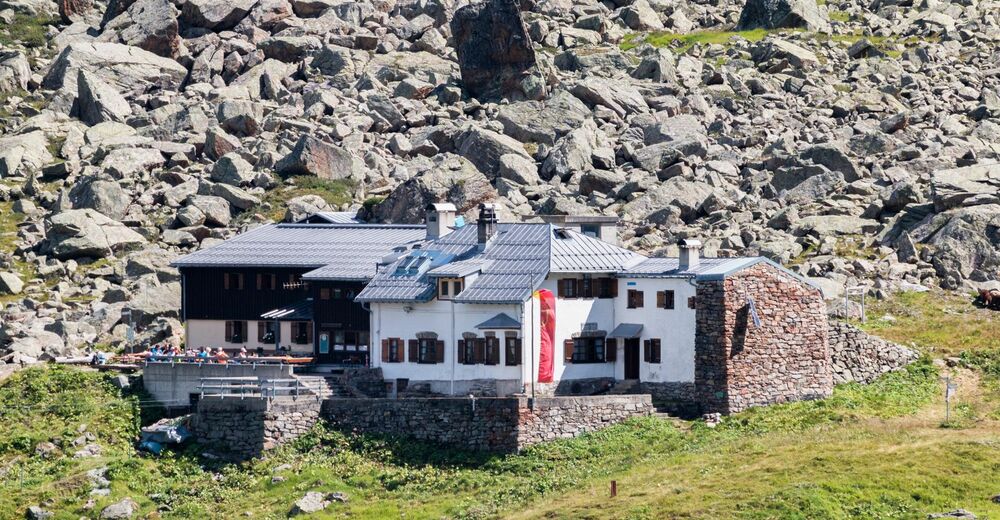
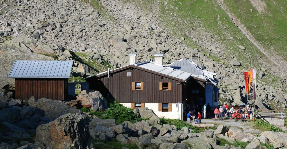
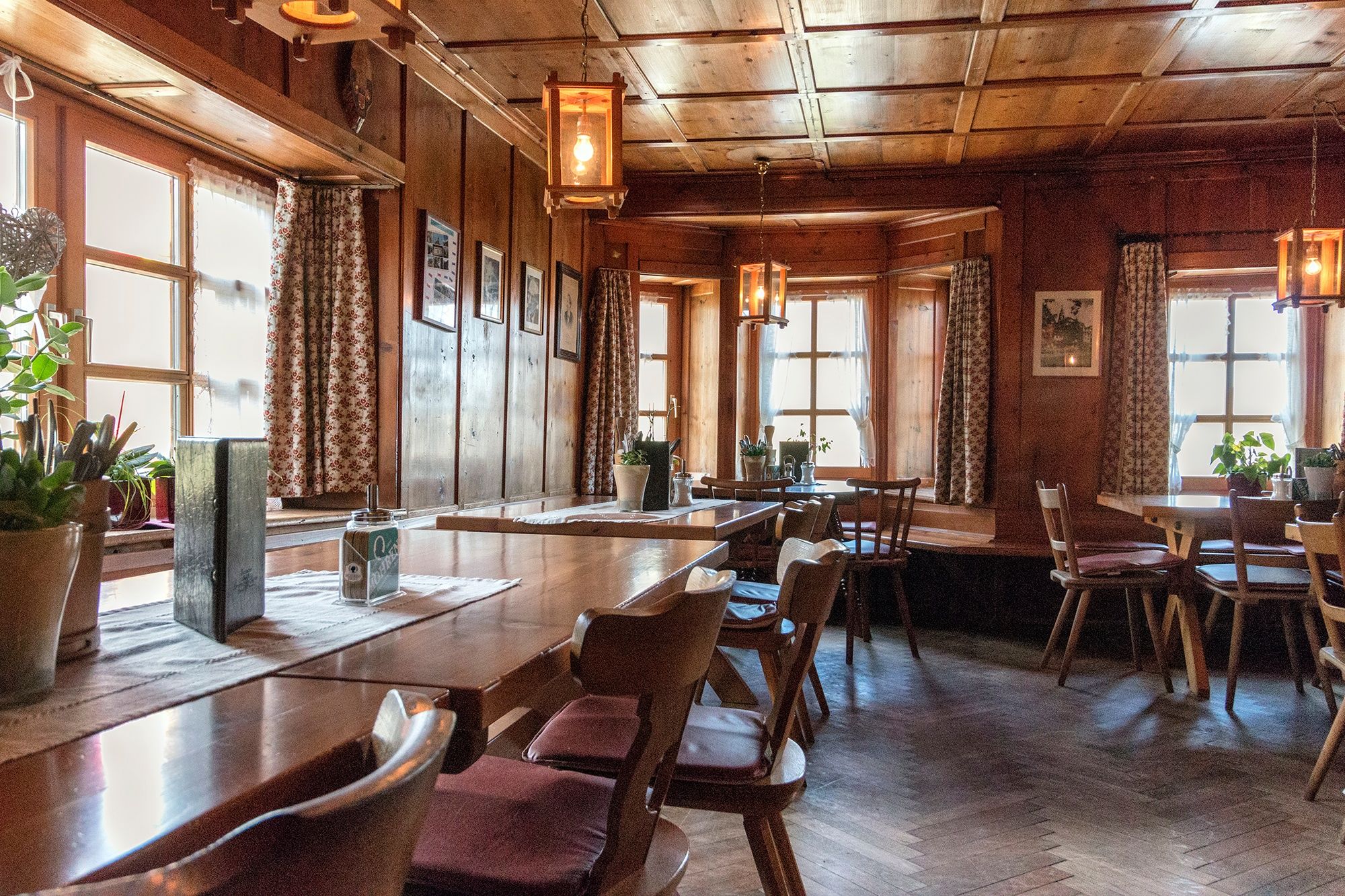
Tübinger Hütte
- Perfil alto
-


-

-
AutorLa gira Route planned on January 07, 2019 es utilizado por outdooractive.com proporcionado.
GPS Downloads


Información general
Punto de avituallamiento
Vistas panorámicas
Más circuitos por las regiones
-
Montafon
1380
-
Gargellen im Montafon
352