From the Hochtannbergpass to the Widdersteinhütte and back via Tschirggen

Senderismo

© Warth-Schröcken Tourismus - Sebastian Stiphout

© Warth-Schröcken Tourismus - Sebastian Stiphout

© Warth-Schröcken Tourismus - Sebastian Stiphout

© Warth-Schröcken Tourismus - Sebastian Stiphout

© Warth-Schröcken Tourismus - Sebastian Stiphout


- Breve descripción
-
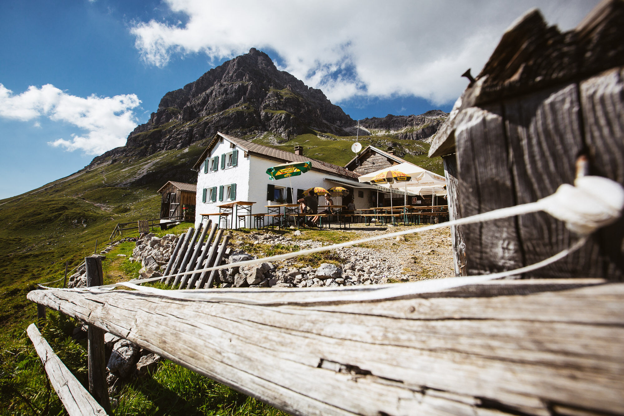
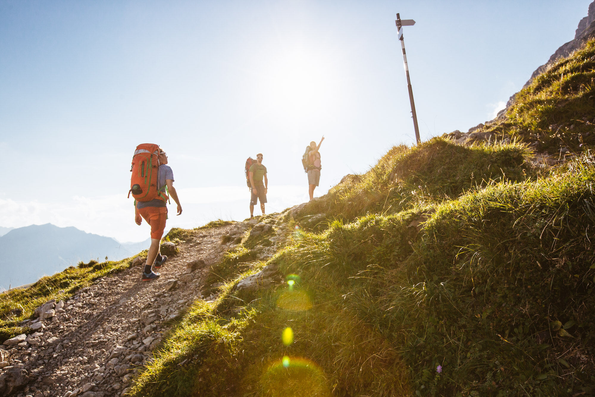
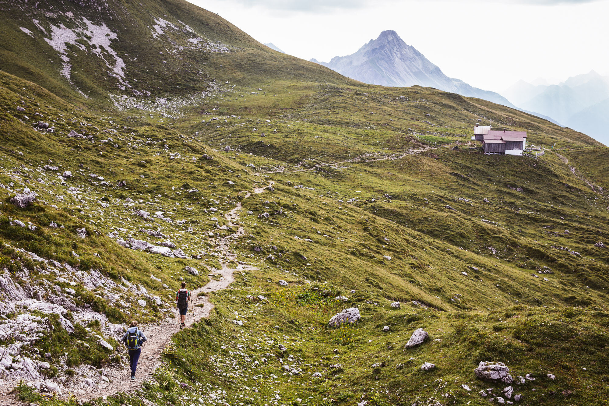
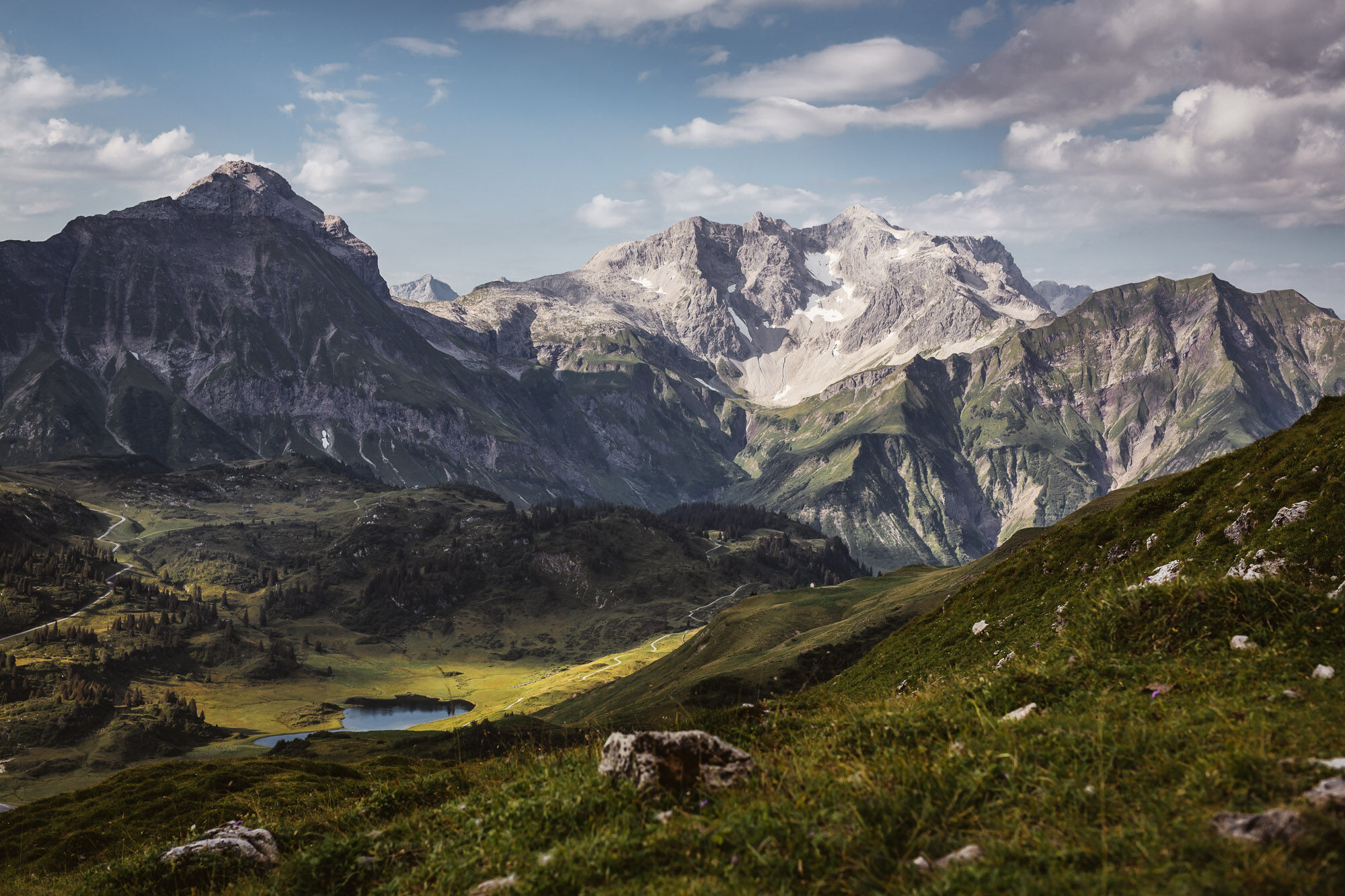
The tour starts at the Hochtannbergpass at an altitude of 1.676 m. The trail leads between wild flowers and fresh alpine herbs towards Widdersteinhütte. The view of the Widdersteinhütte invites you to linger. Now the path takes you eastwards along the plateau towards Koblatpass and Koblathütte. Via the Tschirggen you come downhill again to the main road. From there, the short section goes upwards to the starting point.
- Dificultad
-
medio
- Valoración
-
- Ruta
-
Widdersteinhütte1,3 kmSchärtle (1.945 m)2,6 km
- La mejor temporada
-
enefebmarabrmayjunjulagosepoctnovdic
- Punto álgido
- 2.002 m
- Punto final
-
Hochtannbergpass
- Perfil alto
-


- Autor
-
La gira From the Hochtannbergpass to the Widdersteinhütte and back via Tschirggen es utilizado por outdooractive.com proporcionado.
GPS Downloads


Información general
Punto de avituallamiento
Vistas panorámicas
Más circuitos por las regiones
-
Kleinwalsertal
2055
-
Mittelberg
601


