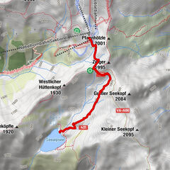
From the mountain station Steffisalp to Bürstegg

Senderismo

© Warth-Schröcken Tourismus - Günter Drexel

© Warth-Schröcken Tourismus - Sebastian Stiphout


- Breve descripción
-
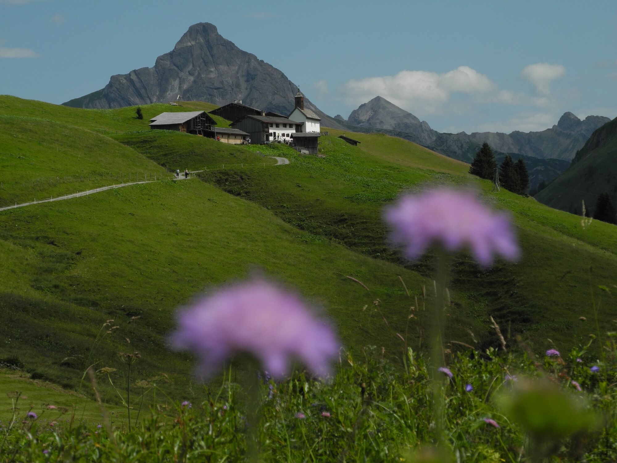
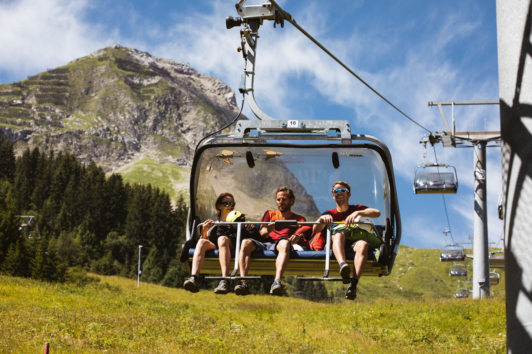
Relax again on the driveway with the Steffisalp Express before you start. Now you have left most of the altitude meters behind you and can walk at your own pace in the direction of the tub head. Enjoy the view to Warth here and breathe there once properly before heading towards Bürstegg. Bürstegg, the formerly highest Walsersiedlung in Vorarlberg, is a particularly worthwhile hiking destination. The small settlement of Walsers greets from afar, but it seems as if one had left behind not only an hour but a whole century in a promising way. Go back with the hiking bus.
- Dificultad
-
fácil
- Valoración
-
- Ruta
-
Steffisalp-Express0,0 kmGspa1,2 kmBürstegg2,8 kmJausenstation Bürstegg2,8 kmBodenalpe5,0 km
- La mejor temporada
-
enefebmarabrmayjunjulagosepoctnovdic
- Punto álgido
- 1.943 m
- Punto final
-
Bodenalpe
- Perfil alto
-

- Autor
-
La gira From the mountain station Steffisalp to Bürstegg es utilizado por outdooractive.com proporcionado.
GPS Downloads


Información general
Punto de avituallamiento
Cultural/Histórico
Vistas panorámicas
Más circuitos por las regiones