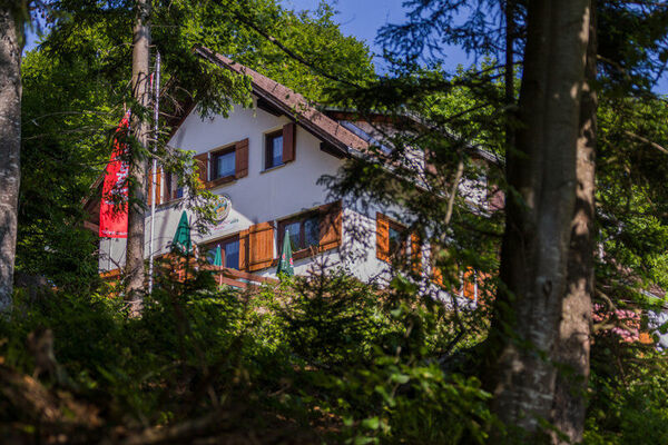
© Alpenregion Bludenz Tourismus GmbH - Melanie Fleisch

© Alpenregion Bludenz Tourismus GmbH - Melanie Fleisch


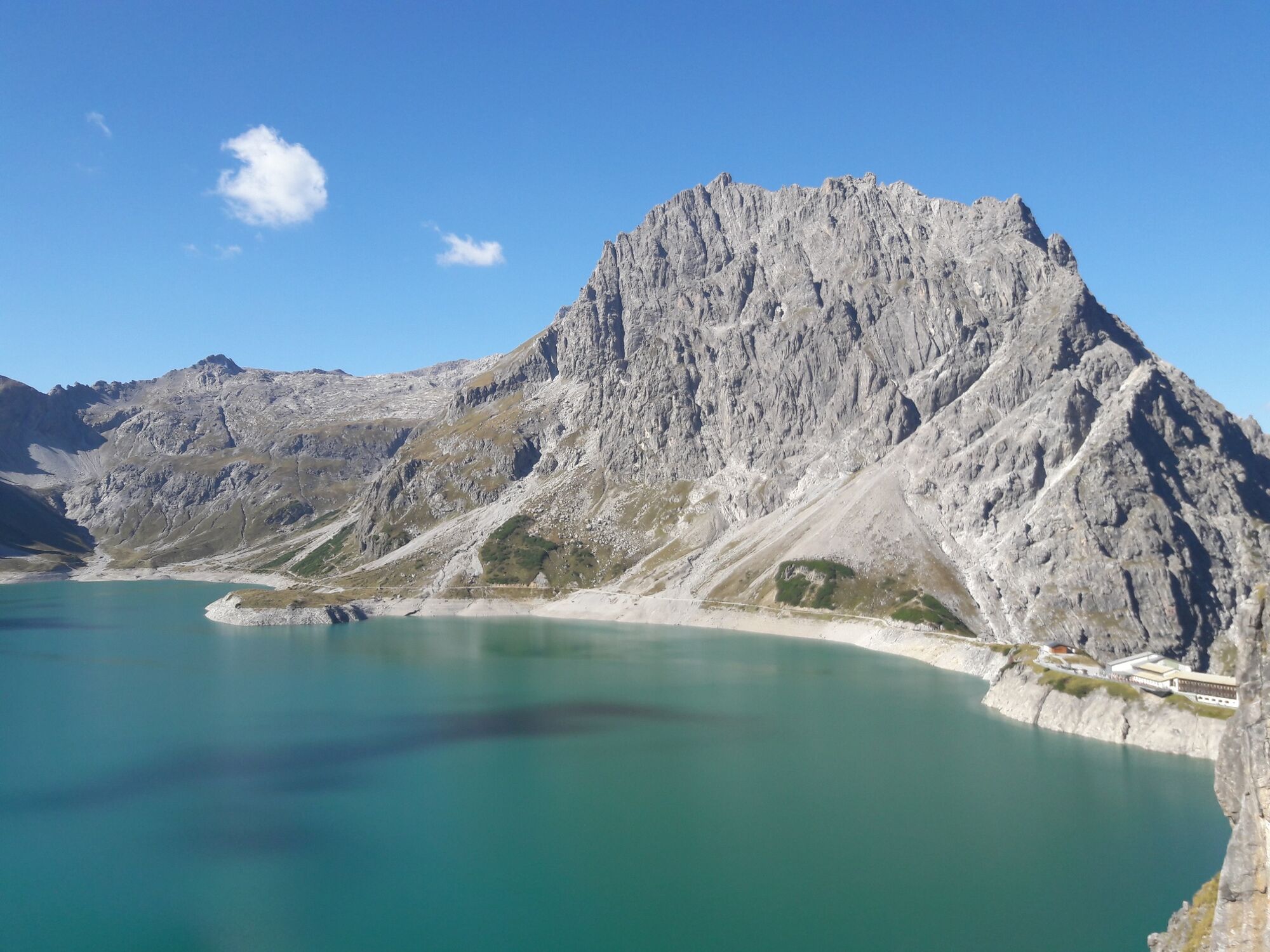
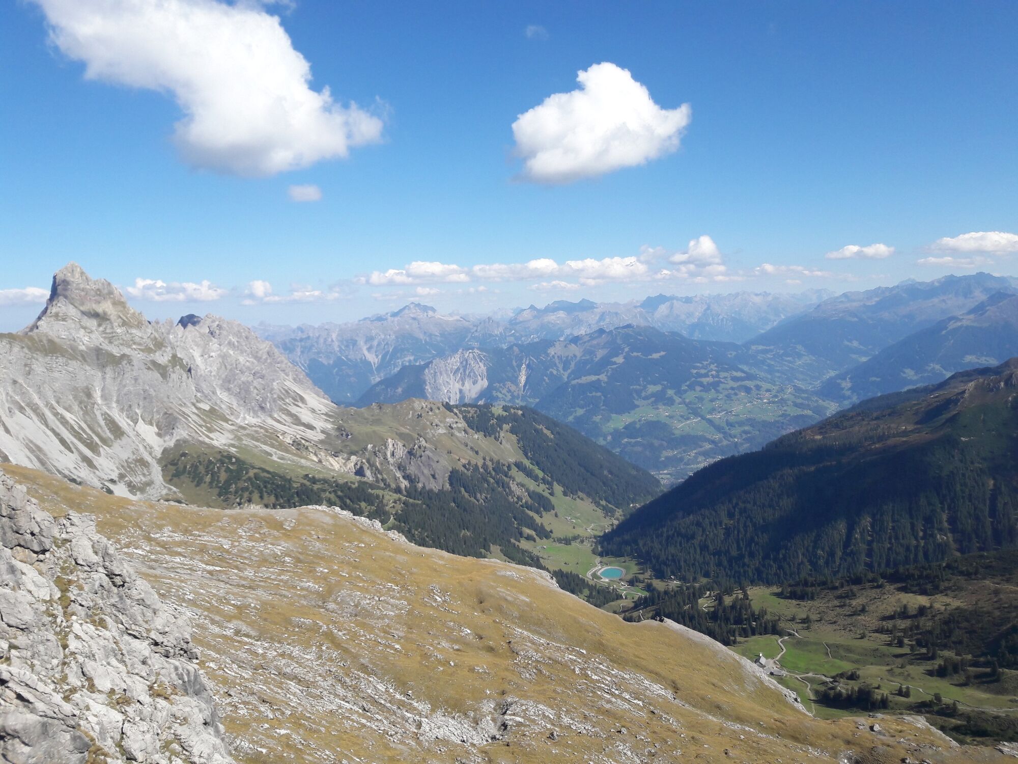
© Vorarlberg Tourismus GmbH

- Breve descripción
-
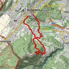
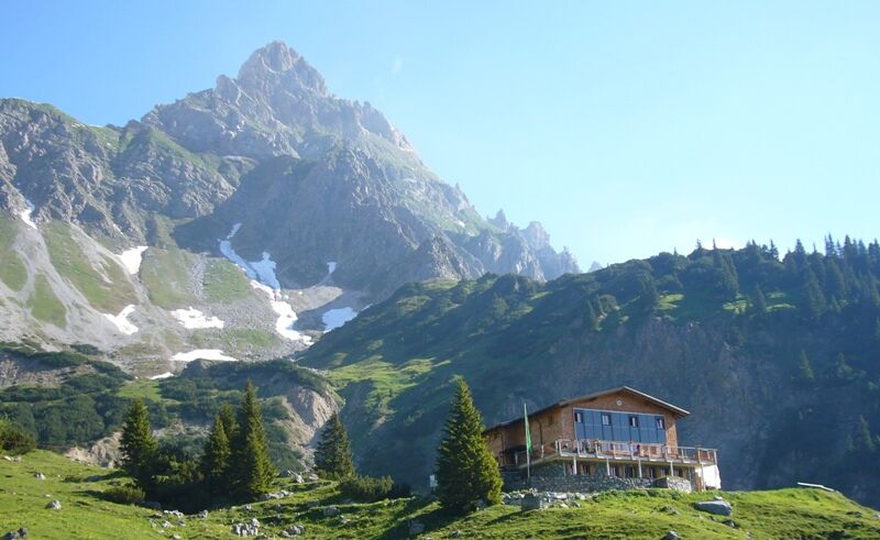
Hike from the Brandnertal valley into the Rellstal valley to the Heinrich-Hueter hut.
- Dificultad
-
medio
- Valoración
-
- Ruta
-
Douglasshütte0,9 kmHeinrich-Hueter-Hütte5,7 kmDouglasshütte10,5 kmLünerseebahn Bergstation10,5 kmLünerseebahn Talstation11,4 km
- La mejor temporada
-
enefebmarabrmayjunjulagosepoctnovdic
- Punto álgido
- 2.145 m
- Punto final
-
Lünersee cable car valley station, Brand
- Perfil alto
-

- Autor
-
La gira To the Heinrich-Hueter Hut | Brand es utilizado por outdooractive.com proporcionado.
GPS Downloads


Información general
Punto de avituallamiento
Vistas panorámicas
Más circuitos por las regiones
-
Heidiland
2201
-
Brandnertal
1567
-
Brand
431