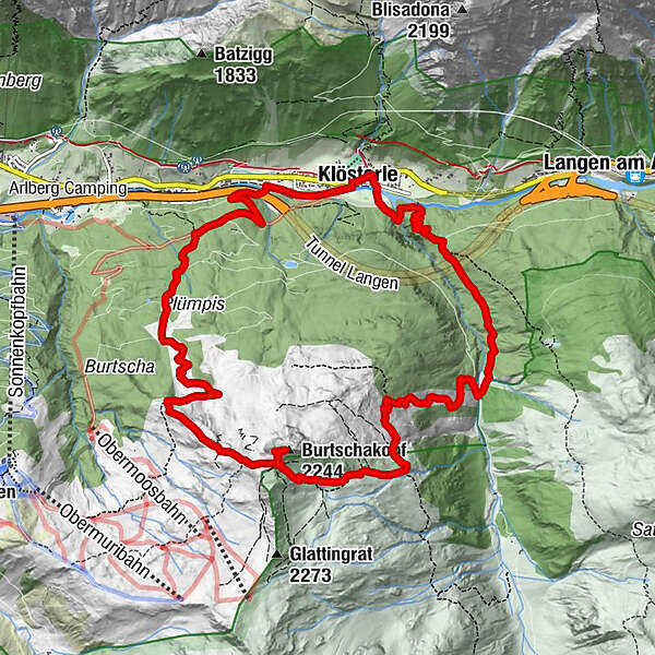
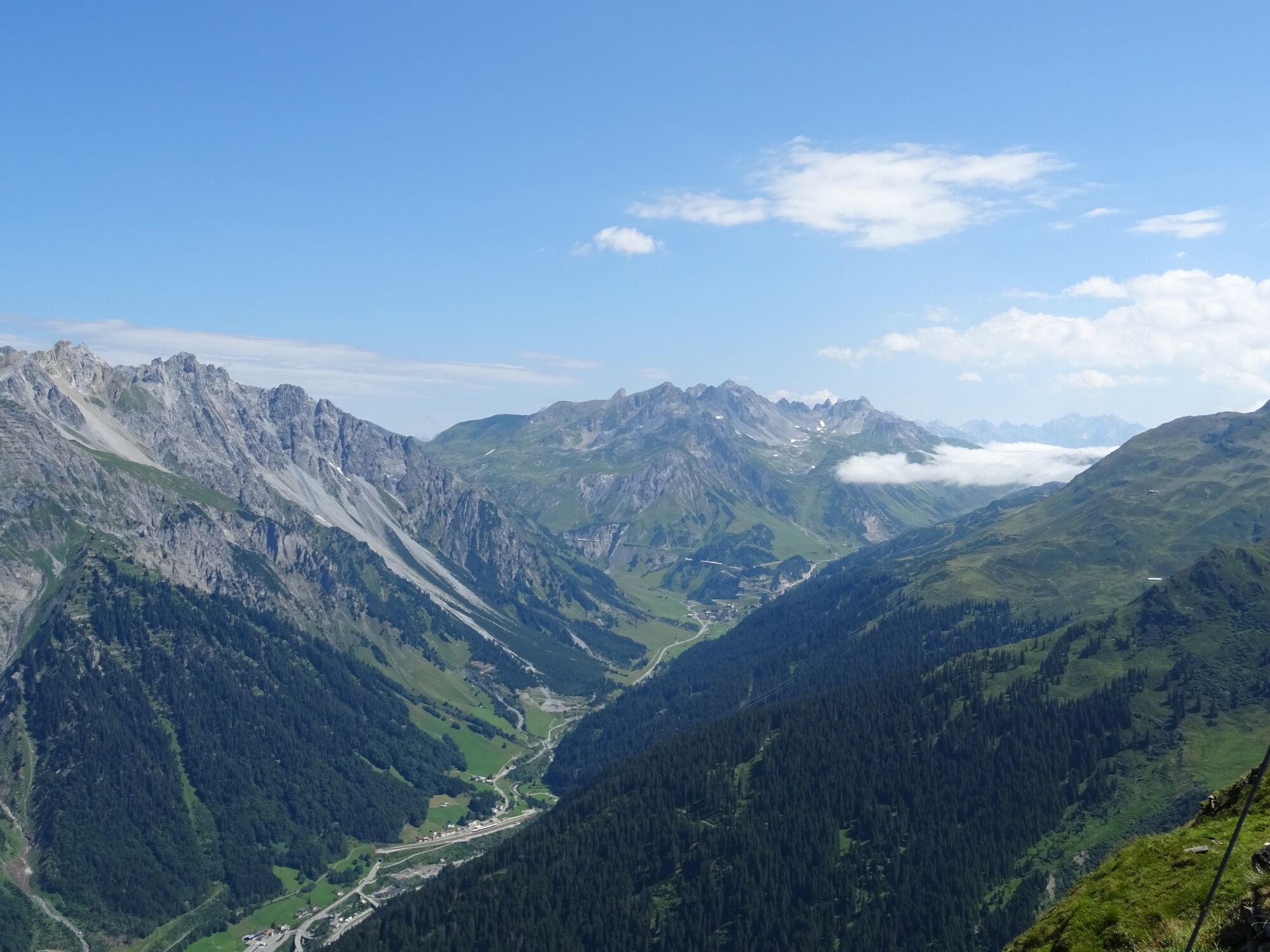
Klösterle - Burtschakopf, 2.244 m | Klösterle am Arlberg

Senderismo

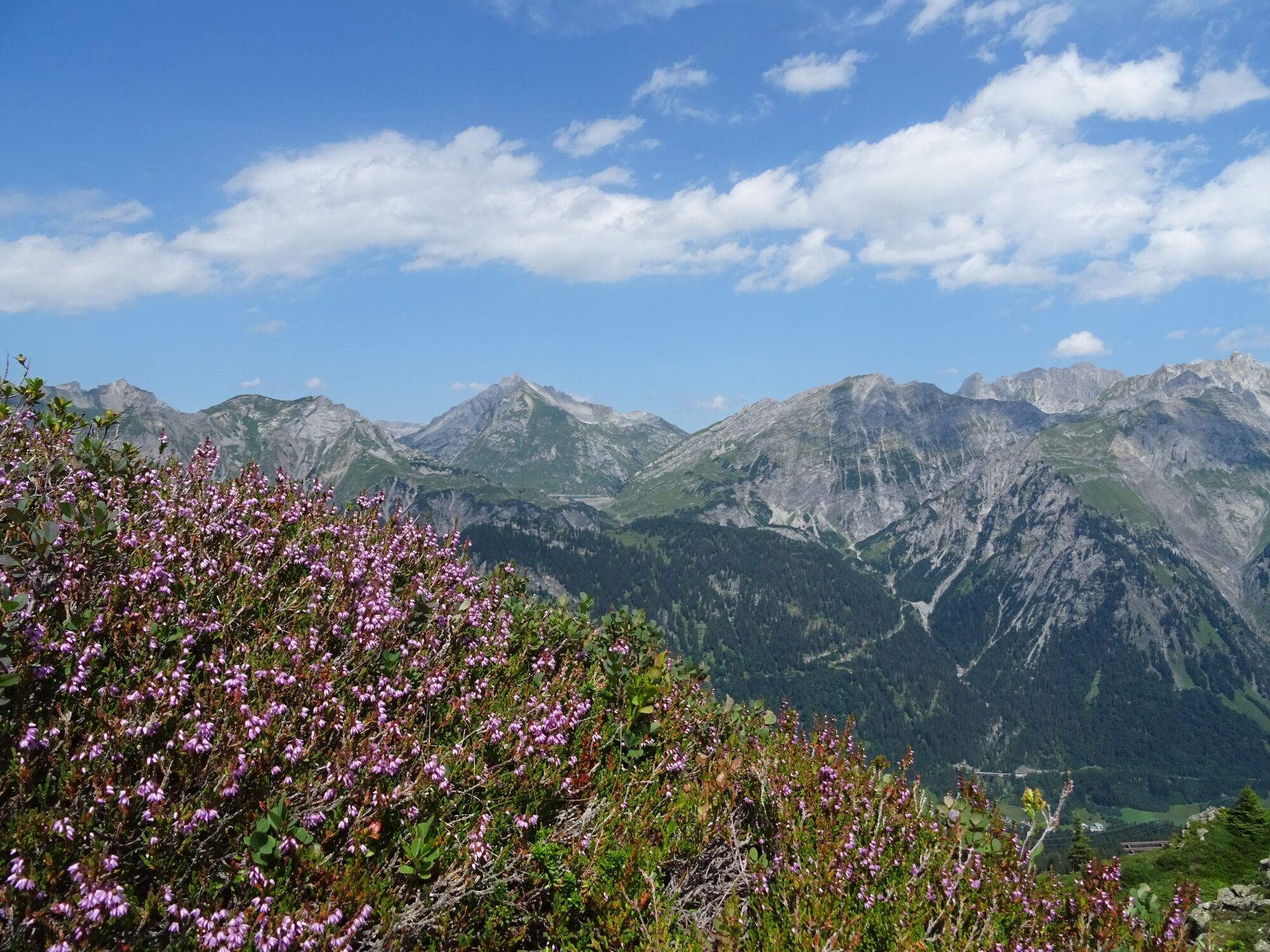
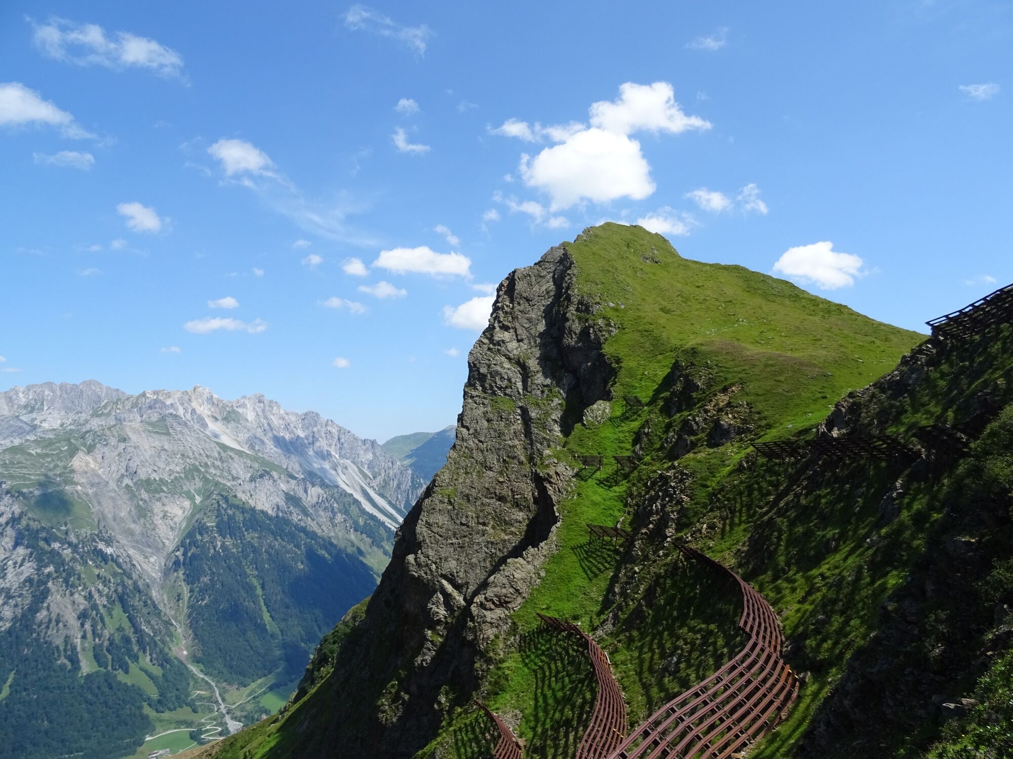
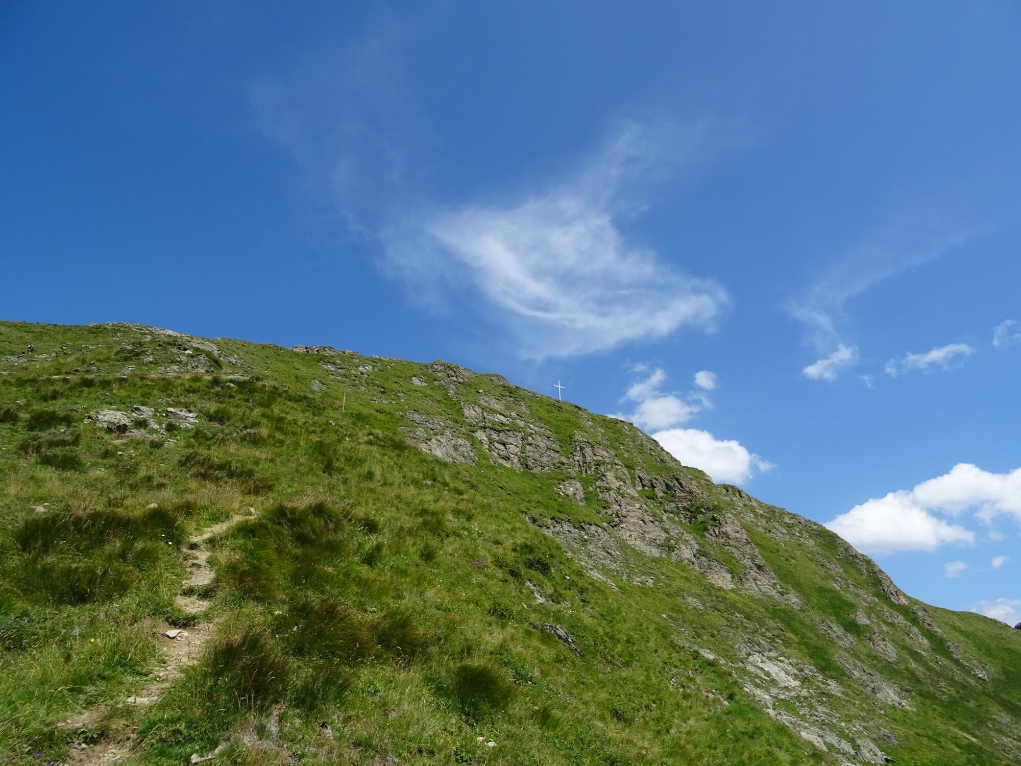
© Alpenregion Bludenz Tourismus GmbH - Melanie Fleisch

© Alpenregion Bludenz Tourismus GmbH - Melanie Fleisch

© Alpenregion Bludenz Tourismus GmbH - Melanie Fleisch

© Alpenregion Bludenz Tourismus GmbH - Melanie Fleisch

© Alpenregion Bludenz Tourismus GmbH - Melanie Fleisch

© Vorarlberg Tourismus GmbH
- Breve descripción
-
Beautiful but demanding round tour to the Burtschakopf, the local mountain of Klösterle am Arlberg.
- Dificultad
-
difícil
- Valoración
-
- Ruta
-
Klösterle (1.073 m)Pfarrkirche hl. Johannes der Täufer0,0 kmBurtschakopf (2.244 m)6,2 kmWasserKraft12,8 kmEngel12,9 kmKlösterle (1.073 m)13,1 km
- La mejor temporada
-
enefebmarabrmayjunjulagosepoctnovdic
- Punto álgido
- 2.232 m
- Punto final
-
Klösterle am Arlberg
- Perfil alto
-


- Autor
-
La gira Klösterle - Burtschakopf, 2.244 m | Klösterle am Arlberg es utilizado por outdooractive.com proporcionado.
GPS Downloads


Información general
Vistas panorámicas
Más circuitos por las regiones


