Alphüttenwanderung Damüls-Mellau-Faschina - Teil 1

Senderismo


- Breve descripción
-
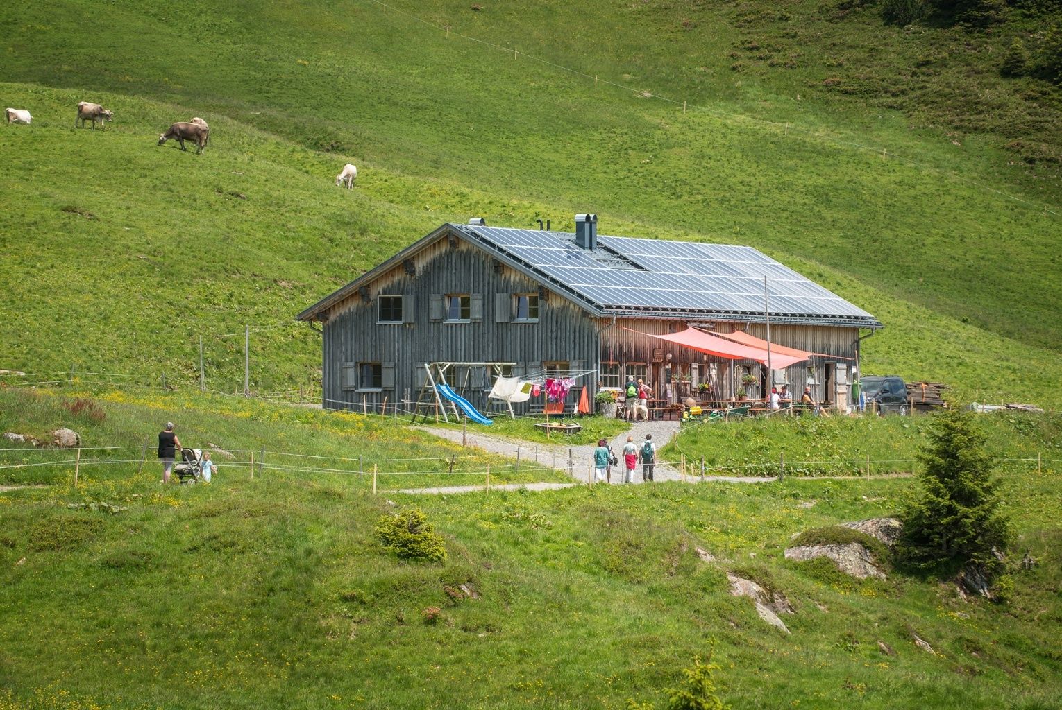
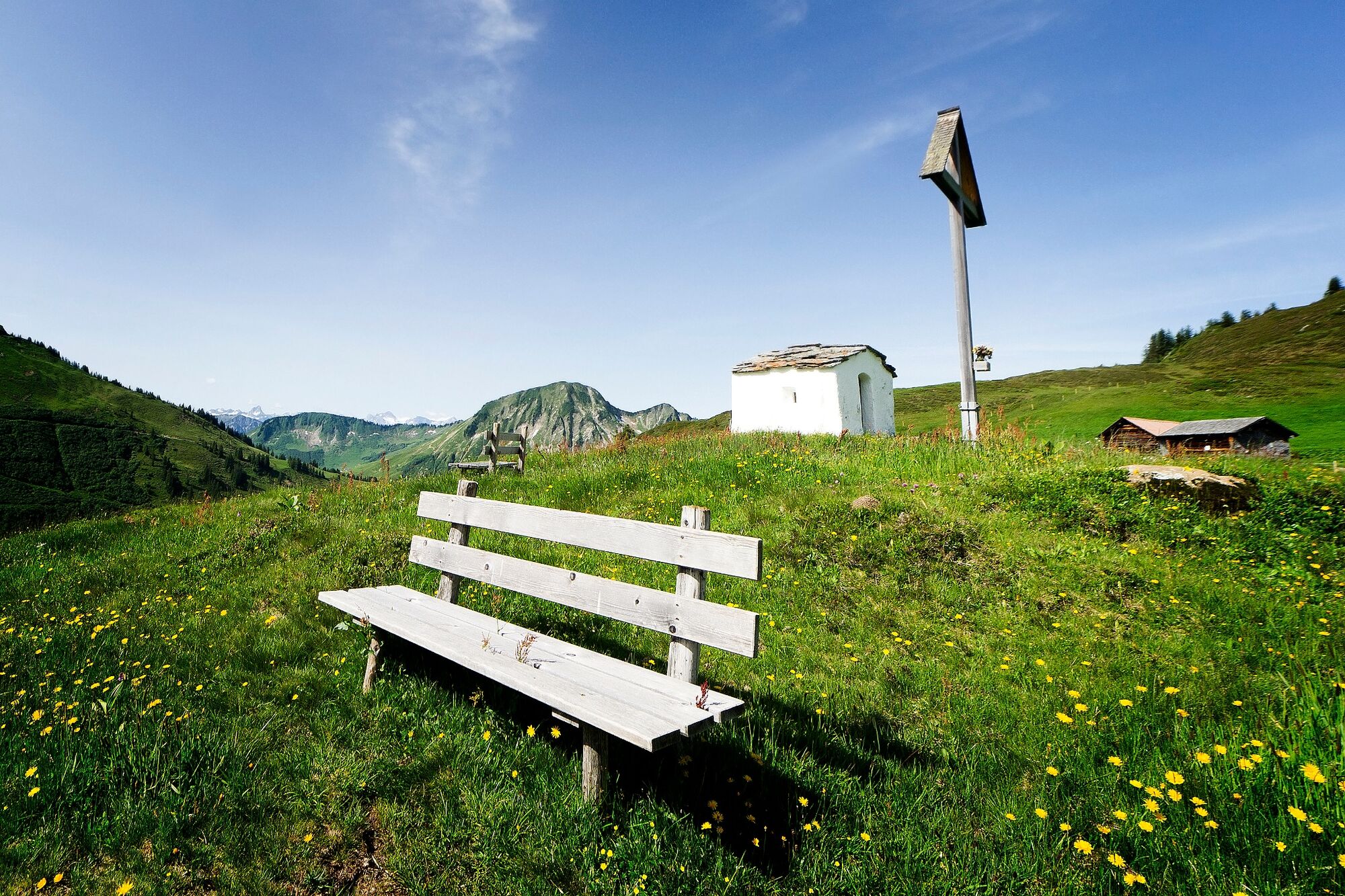
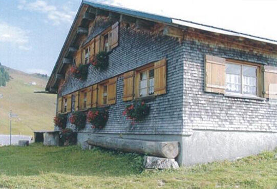
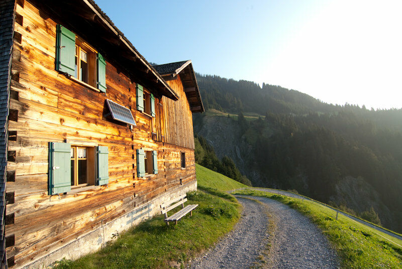
Kirchdorf Damüls - Alpe Oberdamüls - Stofel Kapelle - Alpe Unterdamüls - Türtschalpe
- Dificultad
-
medio
- Valoración
-
- Ruta
-
Damüls (1.423 m)0,1 kmPfarrkirche Hl. Nikolaus0,1 kmAlpe Oberdamüls1,9 kmStofel2,1 kmHotel Alpengasthof Jägerstüble3,3 kmAlpe Unterdamüls4,8 kmTürtschalpe8,3 kmGadastatt10,6 kmPfarrkirche Hl. Sebastian13,6 kmFontanella (1.145 m)13,6 km
- La mejor temporada
-
enefebmarabrmayjunjulagosepoctnovdic
- Punto álgido
- 1.699 m
- Punto final
-
Fontanella
- Perfil alto
-

-

-
AutorLa gira Alphüttenwanderung Damüls-Mellau-Faschina - Teil 1 es utilizado por outdooractive.com proporcionado.
GPS Downloads


Información general
Punto de avituallamiento
Vistas panorámicas
Más circuitos por las regiones
-
St. Gallen - Bodensee
2067
-
Biosphärenpark Großes Walsertal
2011
-
Damüls
578


