Reuthe | Bödele - Lustenauerhütte - Weißenfluhalpe - Hottersattel - Schnellvorsäß - Reuthe

Senderismo

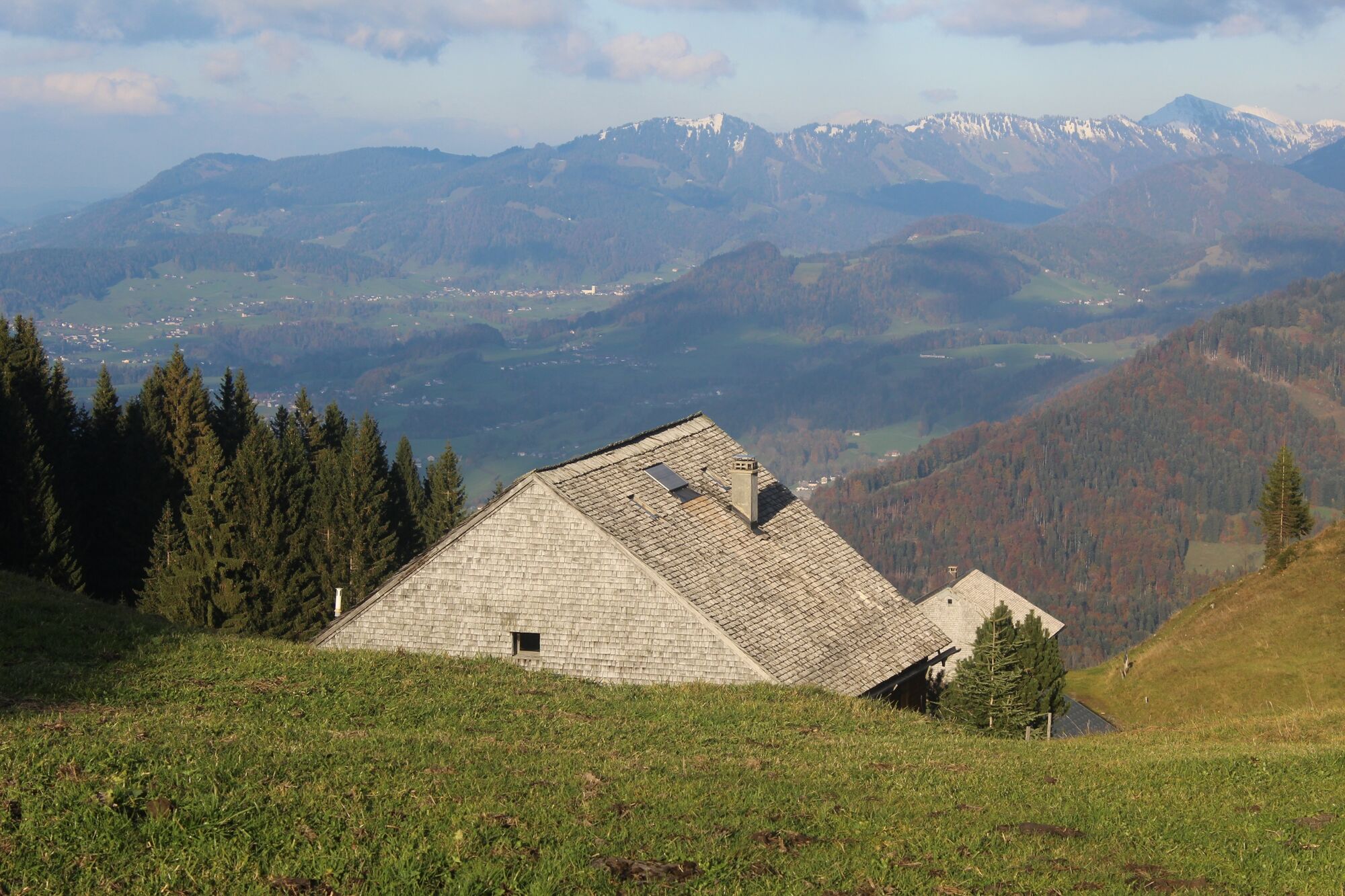
© Bregenzerwald Tourismus - Johannes Fink

© Mellau Tourismus - Anton Fröwis

© Mellau Tourismus - Anton Fröwis


- Breve descripción
-
Bödele – Hochälpelealpe – Lustenauer Hütte – Bregenzer Hütte – Weißenfluhalpe – Hottersattel – Rohralpe – Schnellvorsäß – Brünnelesegg – über steilen Fußweg „Kinar“ Abstieg nach Reuthe Baien
- Dificultad
-
medio
- Valoración
-
- Ruta
-
Berghof FetzBödele0,3 kmMeierei Bödele0,9 kmLankhütte1,4 kmAm Lank2,1 kmHochälpelekopf (1.464 m)3,1 kmHochälpelehütte3,1 kmÄlpele4,4 kmLustenauer Hütte5,2 kmBregenzer Hütte6,3 kmAlpe Weißenfluh (1.368 m)7,4 kmWeißenfluh (1.367 m)7,5 kmSchnellvorsäß (1.220 m)13,0 kmBaien16,4 km
- La mejor temporada
-
enefebmarabrmayjunjulagosepoctnovdic
- Punto álgido
- 1.443 m
- Punto final
-
Reuthe
- Perfil alto
-


- Autor
-
La gira Reuthe | Bödele - Lustenauerhütte - Weißenfluhalpe - Hottersattel - Schnellvorsäß - Reuthe es utilizado por outdooractive.com proporcionado.
GPS Downloads


Información general
Punto de avituallamiento
Secreto
Vistas panorámicas
Más circuitos por las regiones
-
St. Gallen - Bodensee
2067
-
Bregenzerwald
2297
-
Schwarzenberg
610


