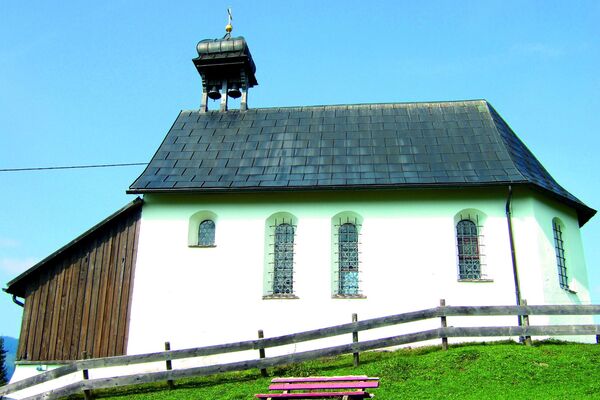
© Bregenzerwald Tourismus - Alex Kaiser

© Bregenzerwald Tourismus - Alex Kaiser

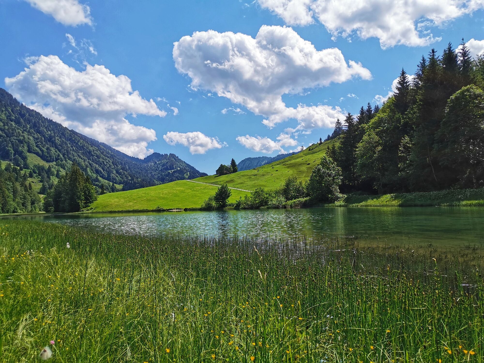
© Bregenzerwald Tourismus - Cornelia Kriegner

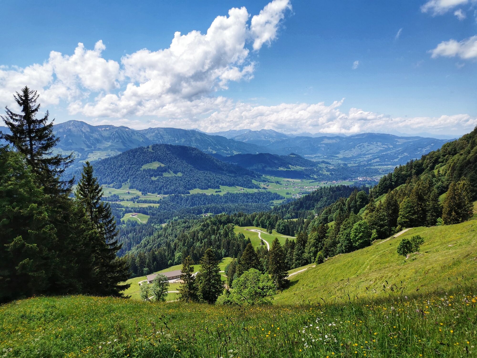
© Bregenzerwald Tourismus - Cornelia Kriegner

© Bregenzerwald Tourismus - Martin Lang

© Bregenzerwald Tourismus - Alex Kaiser

© Bregenzerwald Tourismus - Alex Kaiser

© Bregenzerwald Tourismus - Nadine Lerho

© Bregenzerwald Tourismus - Martin Lang

© Bregenzerwald Tourismus - Alex Kaiser

- Breve descripción
-
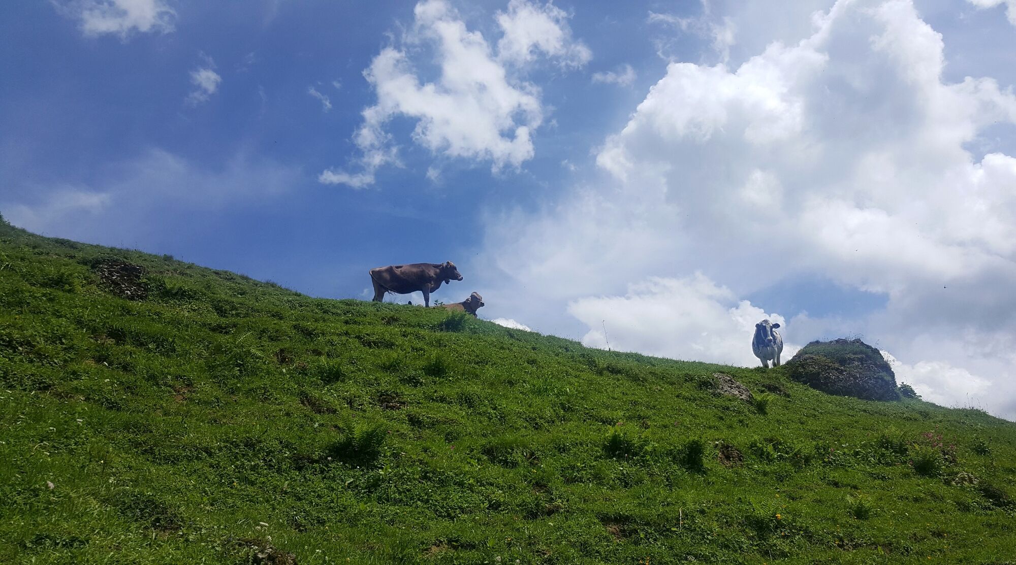
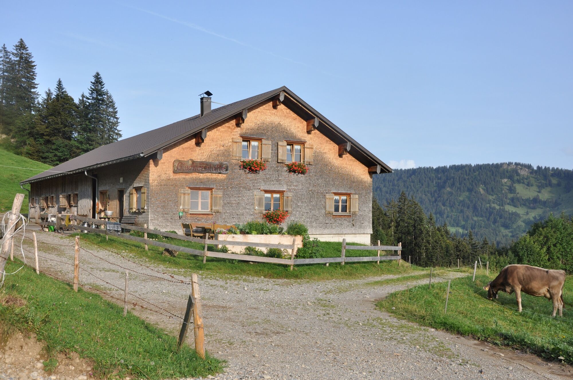
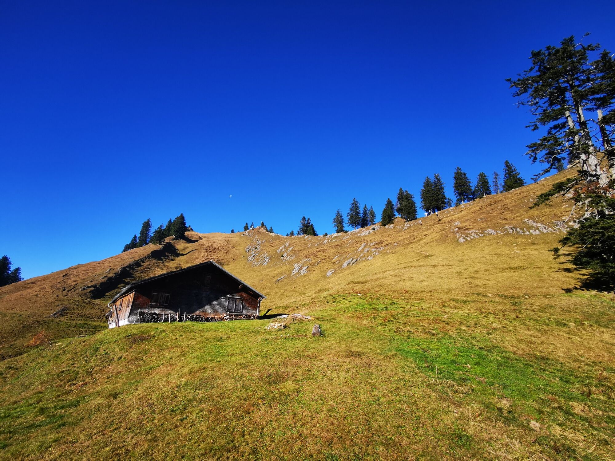
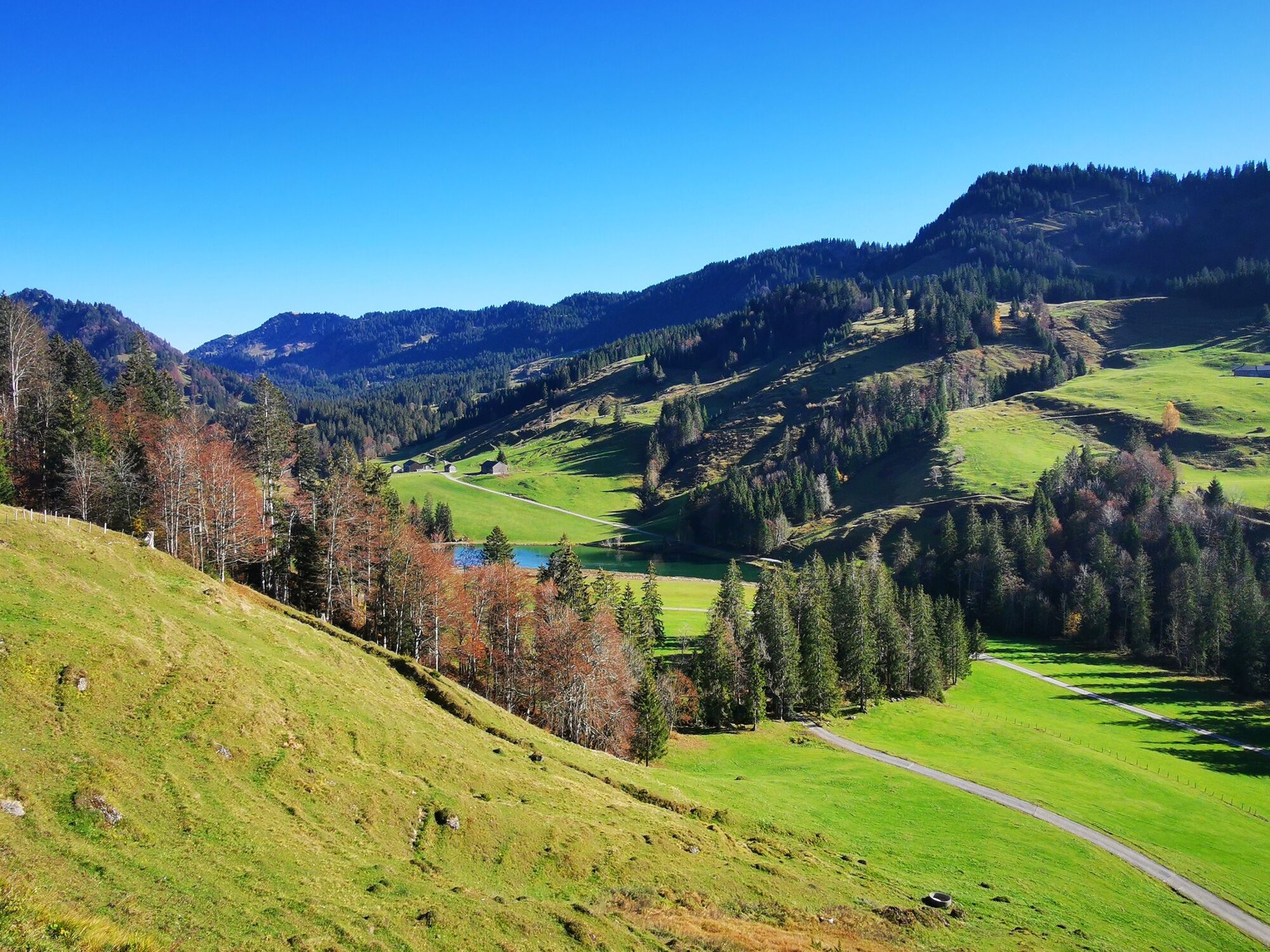
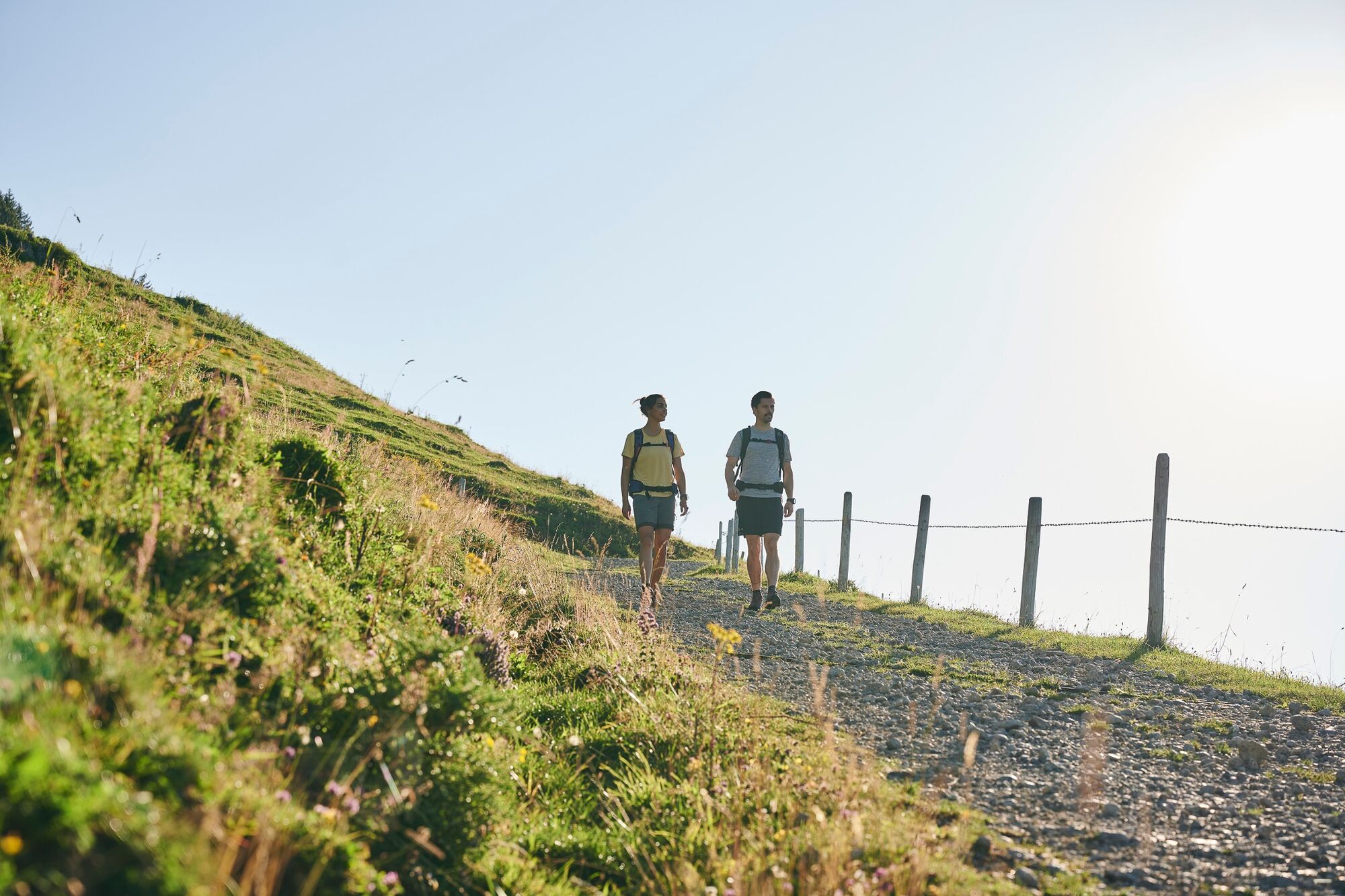
Mountain tour through the Lecknertal in Hittisau with over 100 alps. Six alps are located on this hiking path.
- Dificultad
-
medio
- Valoración
-
- Ruta
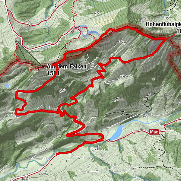
-
Eineguntkopf (1.639 m)5,9 km
- La mejor temporada
-
enefebmarabrmayjunjulagosepoctnovdic
- Punto álgido
- 1.619 m
- Punto final
-
car park Lecknertal
- Perfil alto
-


- Autor
-
La gira Hittisau | the village with most alps es utilizado por outdooractive.com proporcionado.
GPS Downloads


Información general
Punto de avituallamiento
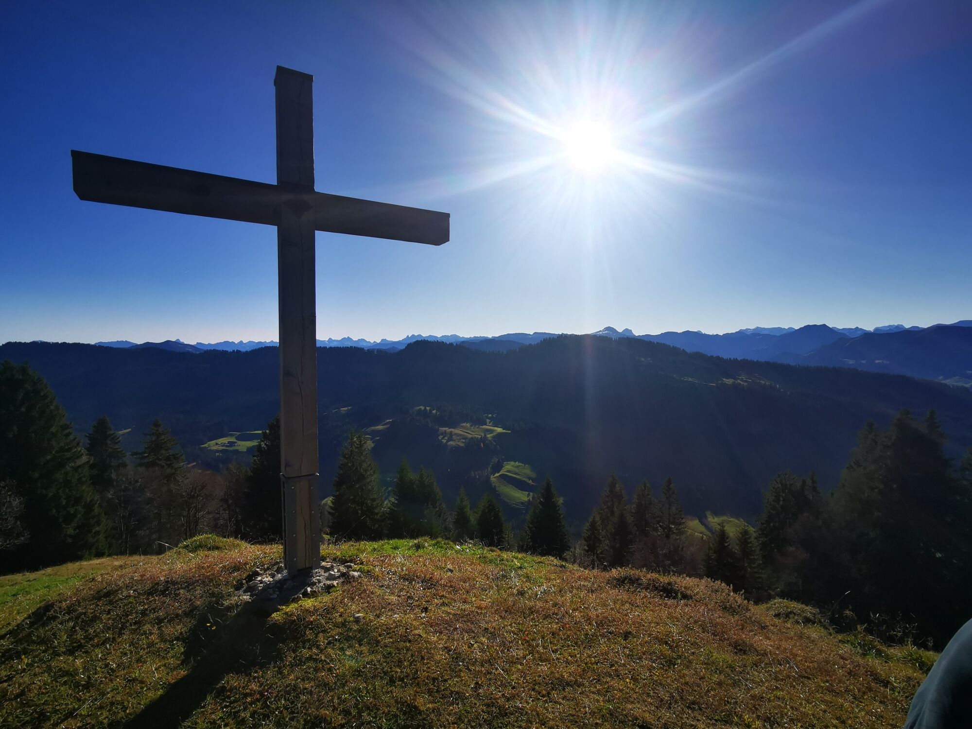
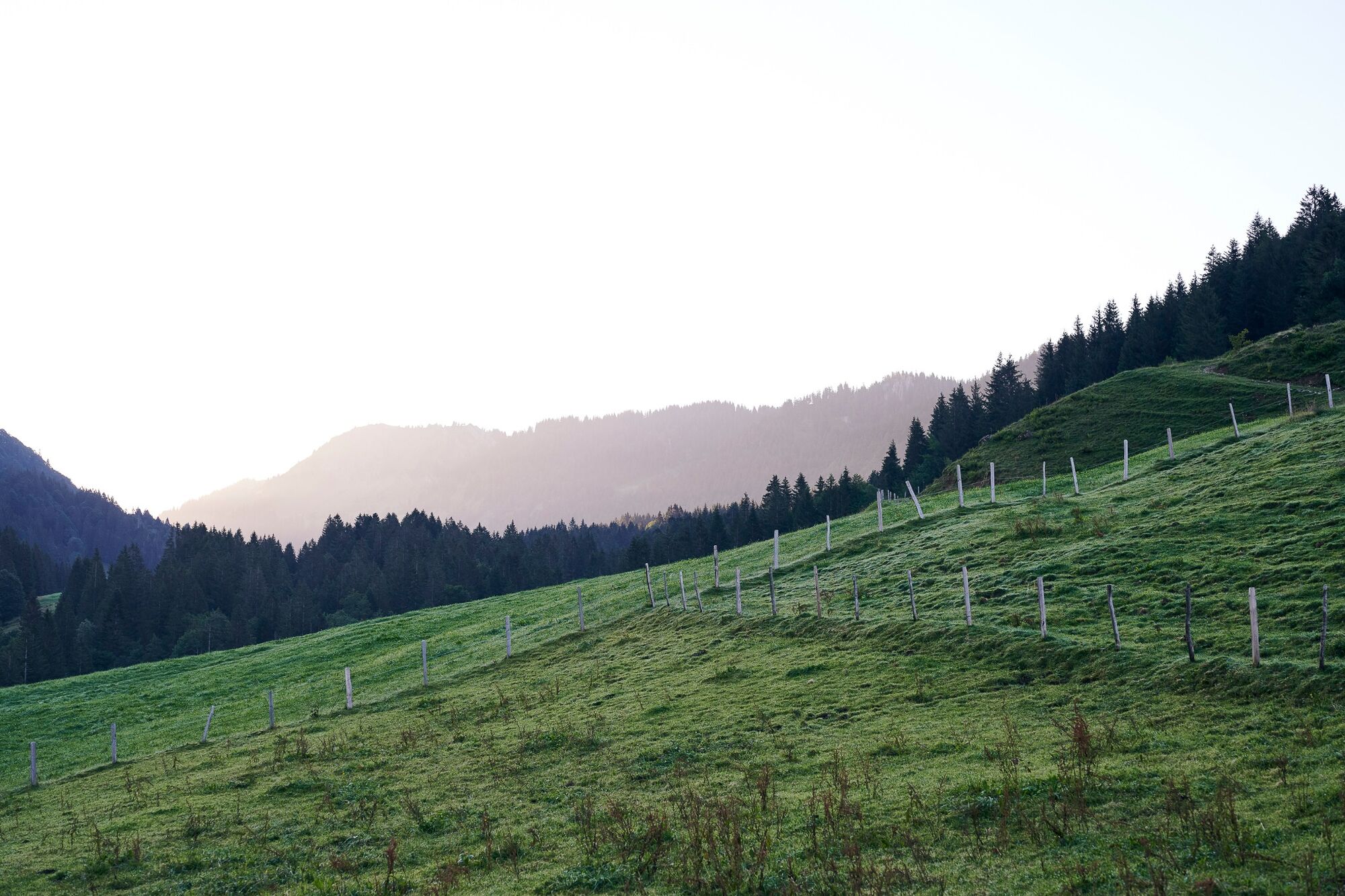
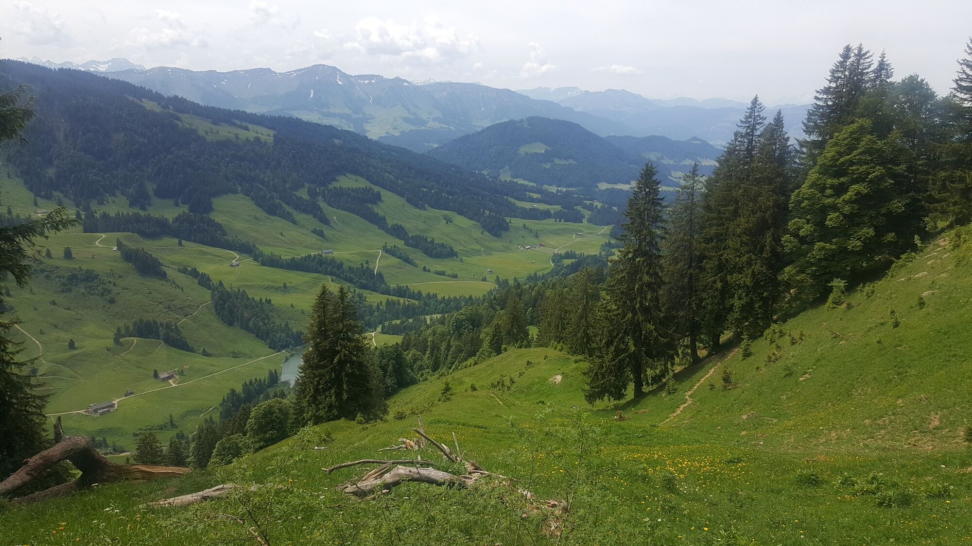
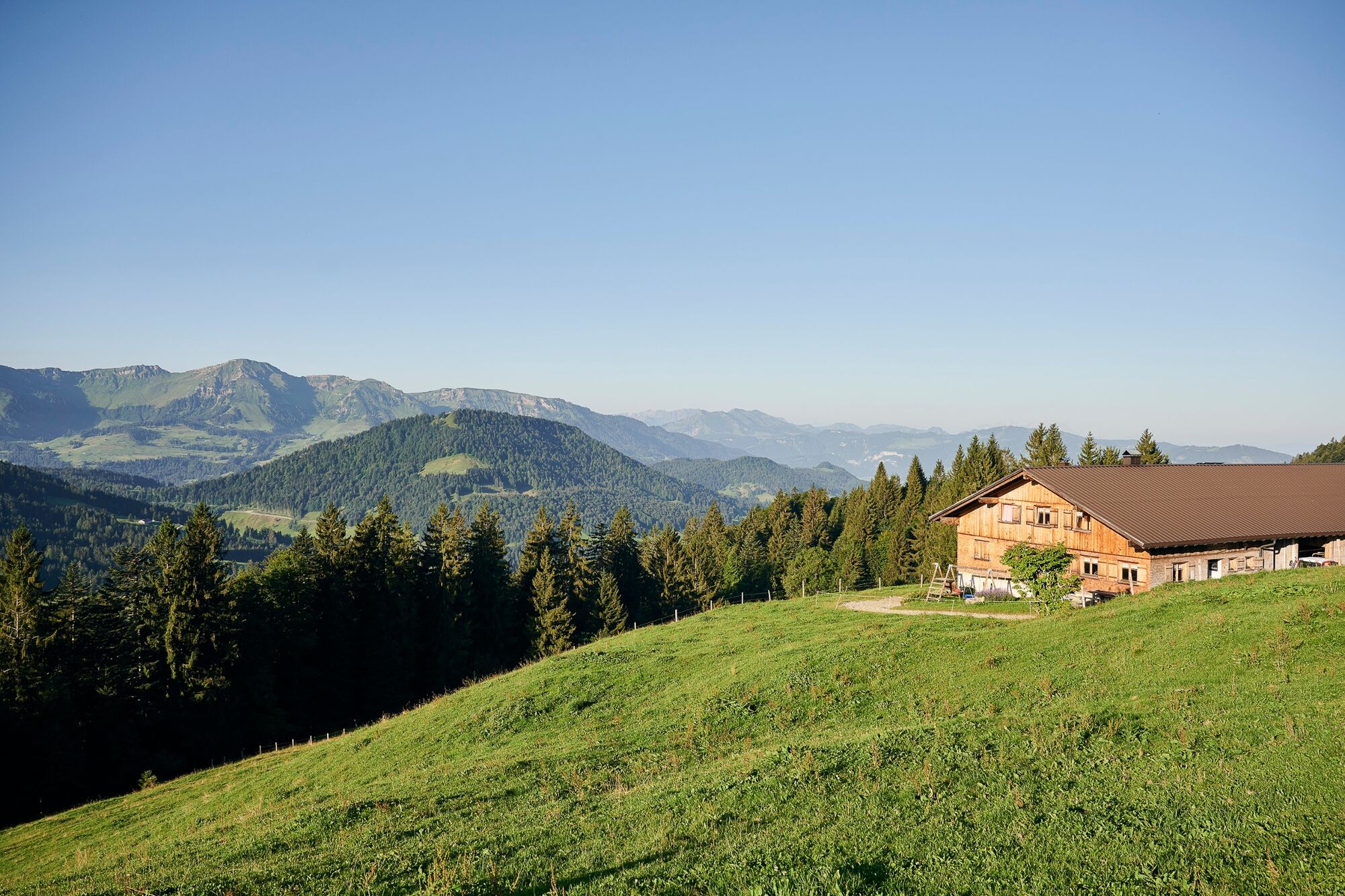
Vistas panorámicas
Más circuitos por las regiones
-
Allgäu
2357
-
Bregenzerwald
2297
-
Steibis
651