
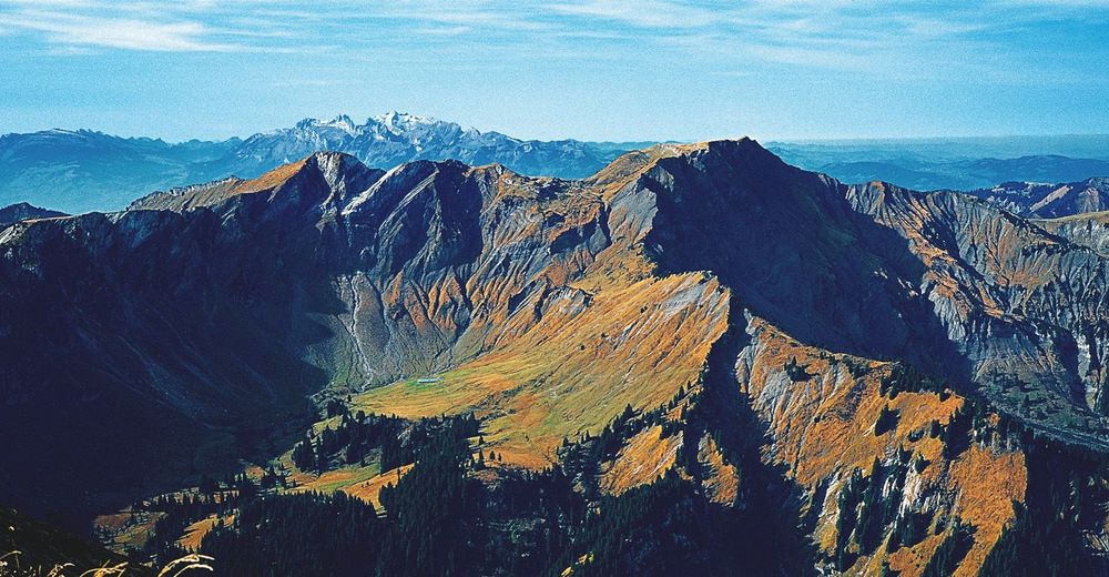

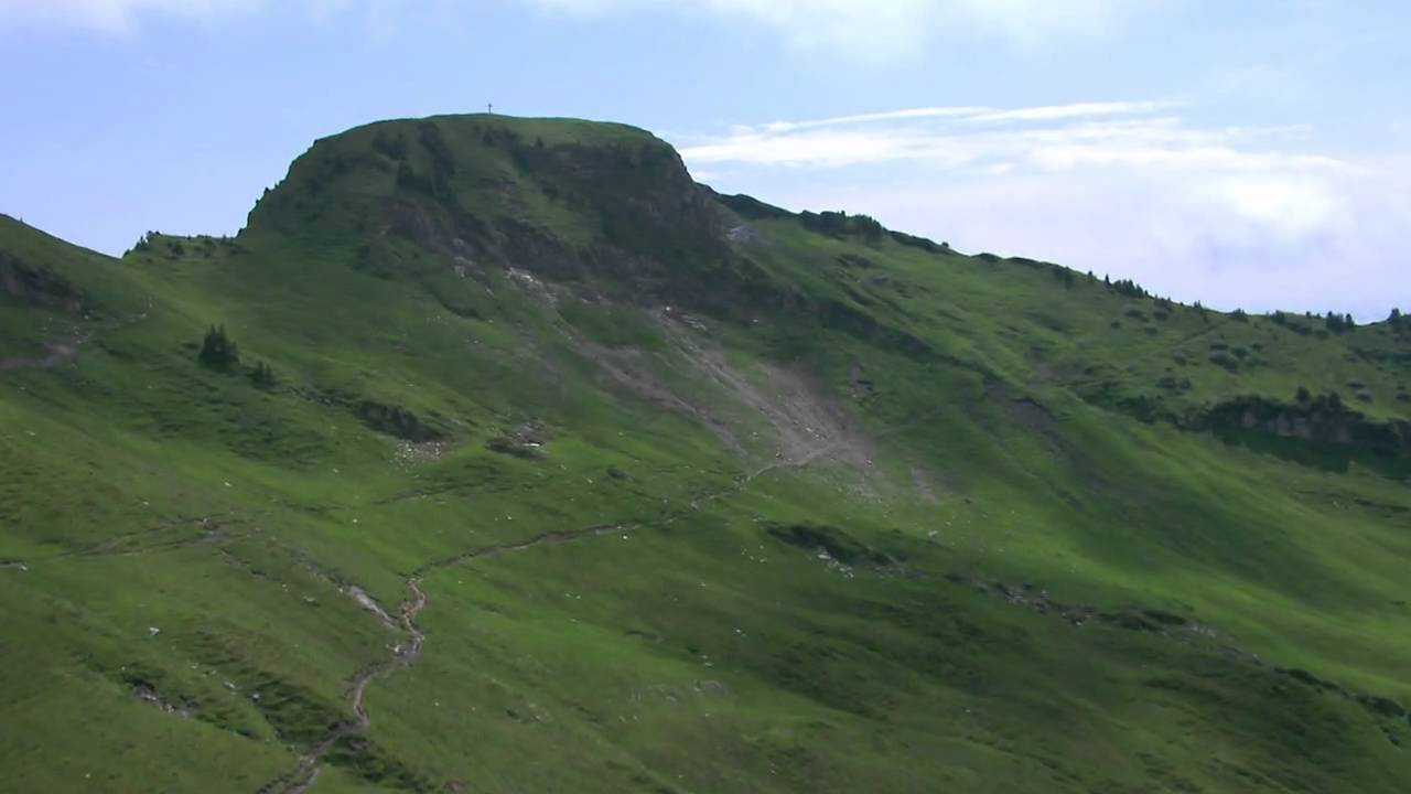
© Vorarlberg von Oben
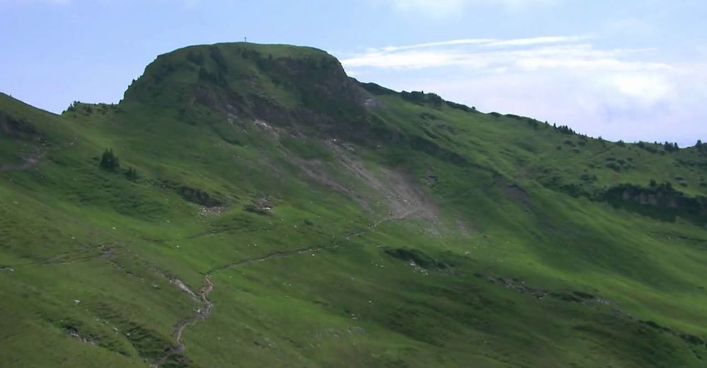
© Vorarlberg von Oben
© Bodensee-Vorarlberg Tourismus GmbH - Vorarlberg Tourismus

- Dificultad
-
difícil
- Valoración
-
- Ruta
-
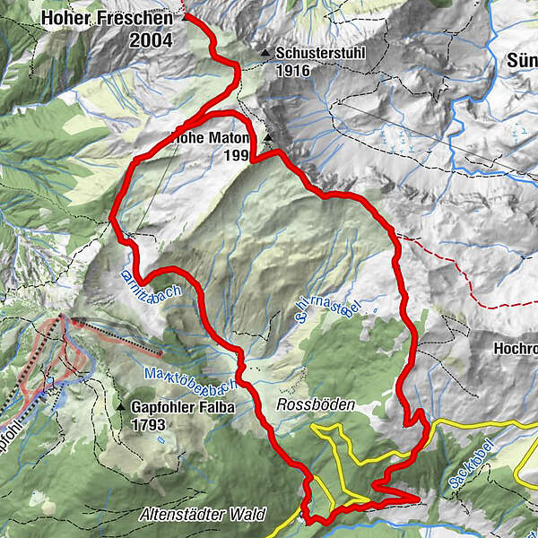
Bad Laterns (1.147 m)Untere Saluveralpe (1.564 m)3,7 kmObere Saluveralpe (1.795 m)5,1 kmFreschenhaus5,5 kmFreschenboden6,2 kmHoher Freschen (2.004 m)6,9 kmFreschenkapelle8,7 kmGroße Freschenhöhle8,8 kmMatonajöchle9,7 kmGäviserhöhe11,5 kmGävisalpe (1.750 m)11,8 kmBad Laterns (1.147 m)16,5 km
- La mejor temporada
-
enefebmarabrmayjunjulagosepoctnovdic
- Punto álgido
- 1.975 m
- Punto final
-
Bad Laterns
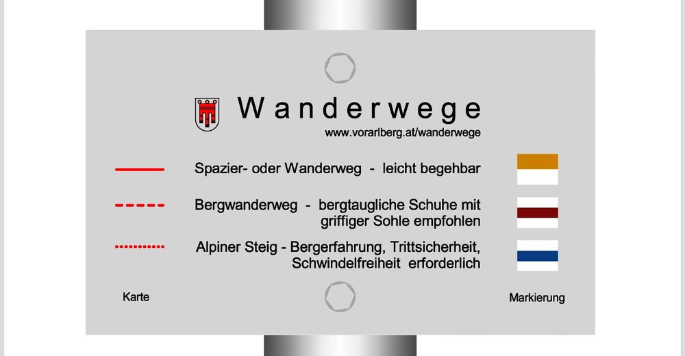
- Perfil alto
-


- Autor
-
La gira Hoher Freschen - Matona - Rundtour es utilizado por outdooractive.com proporcionado.
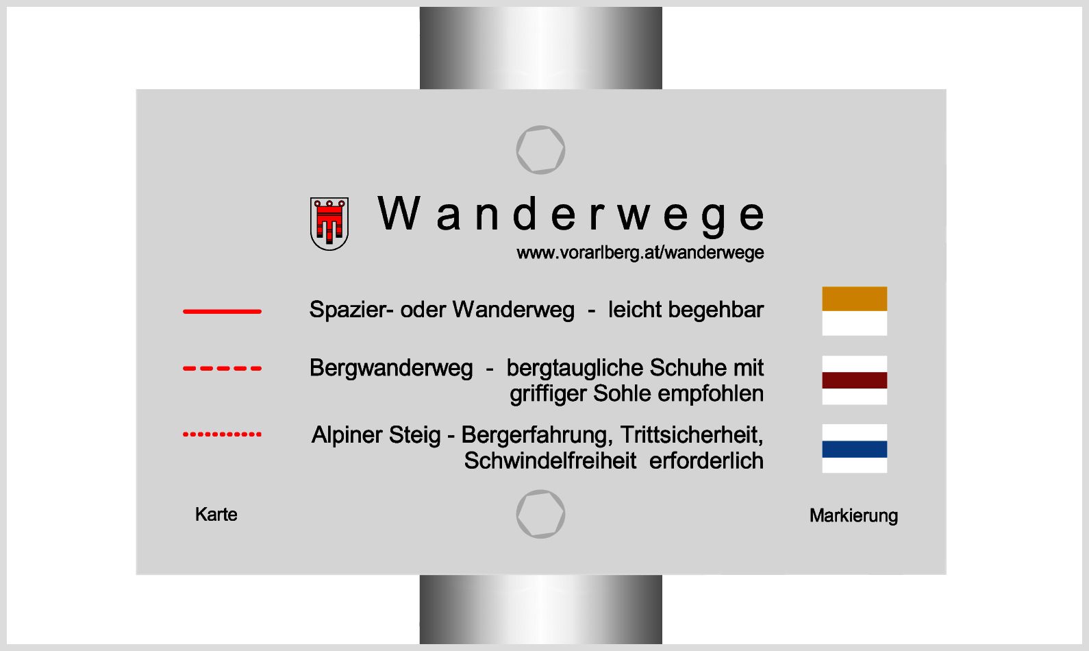
GPS Downloads


Información general
Punto de avituallamiento
Flora
Vistas panorámicas
Más circuitos por las regiones
-
St. Gallen - Bodensee
2067
-
Alpenregion Vorarlberg
1773
-
Laterns-Gapfohl
442


