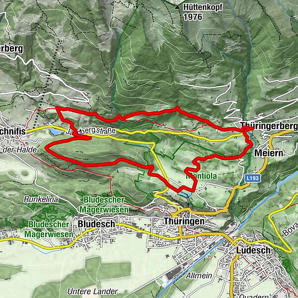
Gampelin Alpe - Schnifis | Thüringerberg

Senderismo

© Alpenregion Bludenz Tourismus GmbH - Martin Caldonazzi

© Vorarlberg Tourismus GmbH
- Breve descripción
-
Discover the natural landscape from Thüringerberg to Schnifis.
- Dificultad
-
medio
- Valoración
-
- Ruta
-
Pfarrkirche hl. AndreasThüringerbergAußerberg (882 m)0,3 kmGschading Gütle (895 m)2,4 kmMeiern10,7 kmThüringerberg11,1 kmPfarrkirche hl. Andreas11,2 km
- La mejor temporada
-
enefebmarabrmayjunjulagosepoctnovdic
- Punto álgido
- 983 m
- Punto final
-
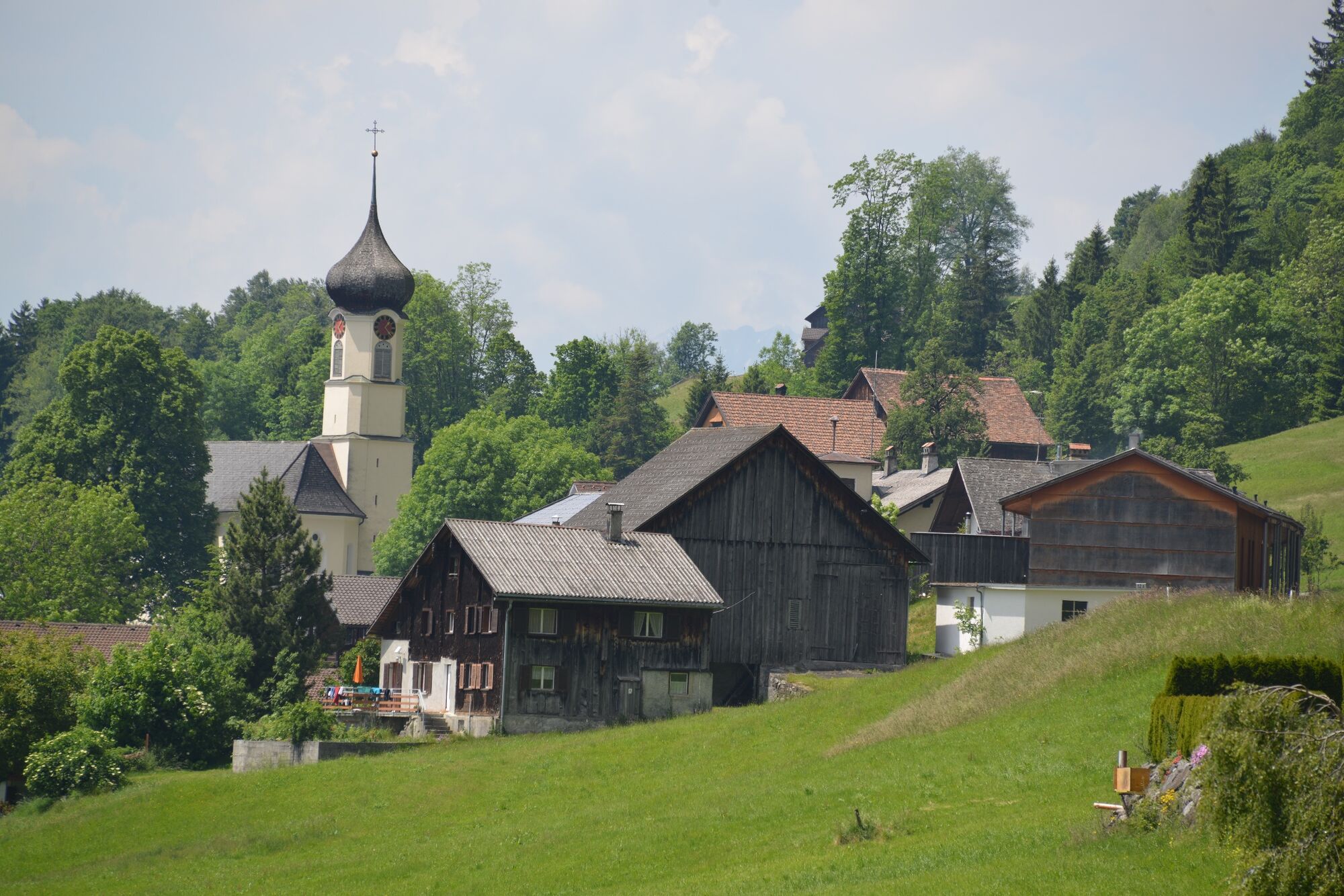
Village centre, Thüringerberg
- Perfil alto
-


- Autor
-
La gira Gampelin Alpe - Schnifis | Thüringerberg es utilizado por outdooractive.com proporcionado.
GPS Downloads


Información general
Vistas panorámicas
Más circuitos por las regiones
-
St. Gallen - Bodensee
2066
-
Alpenregion Vorarlberg
1772
-
Bludesch
392


