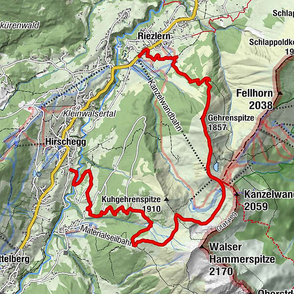
Via the Riezler Alpe to the Kanzelwandbahn

Senderismo

© Kleinwalsertal Tourismus eGen

© Kleinwalsertal Tourismus eGen

© Kleinwalsertal Tourismus eGen

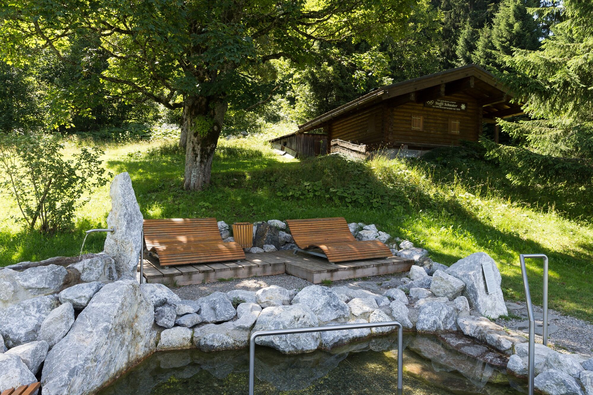
© Kleinwalsertal - Kleinwalsertal Tourismus eGen

© Kleinwalsertal Tourismus eGen

© Kleinwalsertal Tourismus eGen

© Kleinwalsertal - Kleinwalsertal Tourismus eGen

© Kleinwalsertal Tourismus eGen | Fotograf @Oliver Farys

- Breve descripción
-
Crisp mountain hike from the Riezler Alpe to the Gehrenspitze and the Kanzelwandbahn. The reward is already waiting, great views of the Kleinwalsertal and the Allgäu.
- Dificultad
-
difícil
- Valoración
-
- Ruta
-
Riezlern (1.086 m)0,2 kmRiezleralpe2,3 kmGehrenspitze (1.857 m)3,2 kmRote Wand3,9 kmPanoramarestaurant (1.956 m)4,2 kmInnere Kuhgehrenalpe7,2 kmÄußere Kuhgehrenalpe8,0 kmBrand-Alpe9,2 kmNebenwasser10,8 kmHirschegg (1.122 m)11,4 kmDürenboden11,4 km
- La mejor temporada
-
enefebmarabrmayjunjulagosepoctnovdic
- Punto álgido
- 1.955 m
- Punto final
-
Riezlern
- Perfil alto
-


- Autor
-
La gira Via the Riezler Alpe to the Kanzelwandbahn es utilizado por outdooractive.com proporcionado.
GPS Downloads


Información general
Punto de avituallamiento
Flora
Fauna
Vistas panorámicas
Más circuitos por las regiones


