Alpwandern: Dornbirn Niedere - Durchstich - Dannersbruck - Kobelalpe

Senderismo


- Breve descripción
-
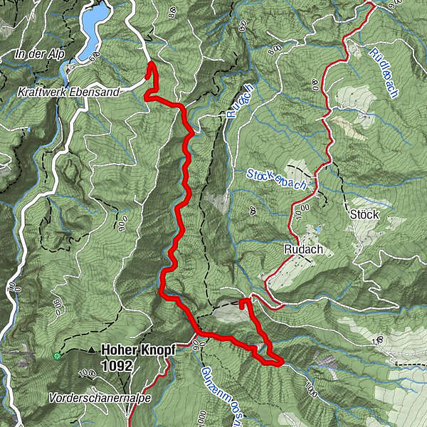
Niedere - Durchstich - Dannersbruck (links abzweigen) - Kobelalpe
- Dificultad
-
fácil
- Valoración
-
- Ruta
-
Kobelalp3,4 km
- La mejor temporada
-
enefebmarabrmayjunjulagosepoctnovdic
- Punto álgido
- 985 m
- Punto final
-
Kobelalpe
- Perfil alto
-


- Autor
-
La gira Alpwandern: Dornbirn Niedere - Durchstich - Dannersbruck - Kobelalpe es utilizado por outdooractive.com proporcionado.
GPS Downloads


Información general
Punto de avituallamiento
Más circuitos por las regiones
-
St. Gallen - Bodensee
2067
-
Bodensee - Vorarlberg
1317
-
Dornbirn
450


