Datos del tour
8,69km
1.588
- 2.032m
441hm
432hm
02:11h

- Breve descripción
-
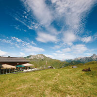
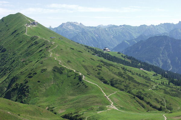
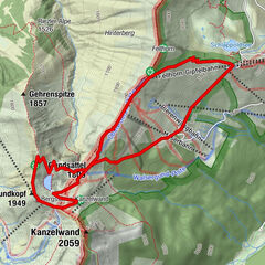
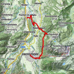
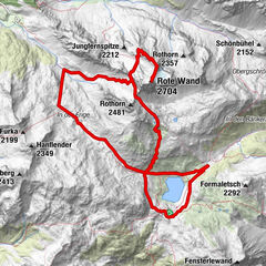
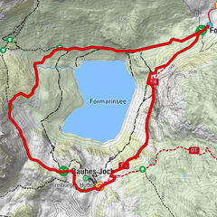
This tour is a nice walk on well-developed hiking trails over 2.000 m, past the house mountains of Warth, the Wartherhorn (2.256 m), Kleinhörnle, Karhorn (2.416 m) with the via ferrata and the Auenfelderhorn (2.292 m). The start of the tour is at the hotel Jägeralpe. From there you hike upwards towards the Hochalphütte, which invites you to a stop. The path continues uphill to Saloberkopf. Enjoy the view and breathe in the mountain air, because here you have reached the highest point of your hike. Now it goes down to the Salobersattel and past the Kalbelessee to the Hochtannbergpass. From the Hochtannbergpass the path leads you past the Hotel Adler back to the bus stop Jägeralpe.
- Dificultad
-
medio
- Valoración
-
- Ruta
-
Jägeralpe0,1 kmSennkuchl0,1 kmHochkrumbach0,3 kmHochalpbahn2,4 kmHochalphütte2,8 kmSaloberkopf3,6 kmHochalpbahn3,7 kmSalober-Jet3,7 kmSonnencruiser4,2 kmS16,6 kmSB-Restaurant Salober6,7 kmKörblliftle6,8 kmAlpekörb6,8 kmHochkrumbach8,4 km
- La mejor temporada
-
enefebmarabrmayjunjulagosepoctnovdic
- Punto álgido
- 2.032 m
- Punto final
-
Jägeralpe
- Perfil alto
-
- Autor
-
La gira Round trail Hochkrumbach es utilizado por outdooractive.com proporcionado.
GPS Downloads
Información general
Punto de avituallamiento
Vistas panorámicas
Más circuitos por las regiones


