Mellau | Rundwanderung Mellau - Wirmboden - Schnepfau

Senderismo

© Vorarlberg Tourismus - Katrin Preuss

© Vorarlberg Tourismus - Katrin Preuss

© Vorarlberg Tourismus - Katrin Preuss

© Bregenzerwald Tourismus - Nadine Lerho

© Bregenzerwald Tourismus - Nadine Lerho

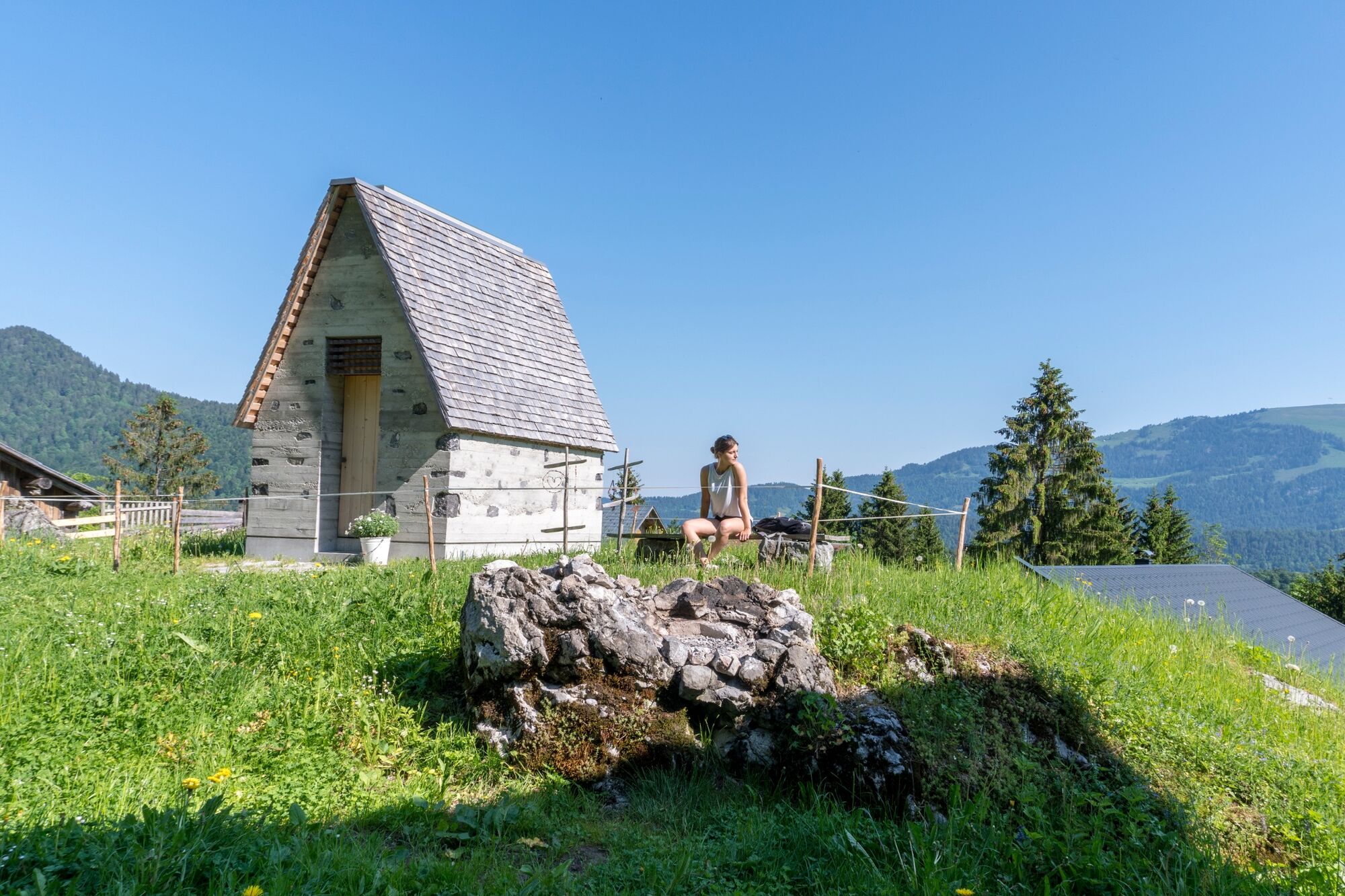
© Bregenzerwald Tourismus - Nadine Lerho


- Breve descripción
-
Ortszentrum – Bergbahnen Mellau – Vorsäß Enge – Wirmbodenvorsäß – Bühlenvorsäß - Schnepfau
- Dificultad
-
fácil
- Valoración
-
- Ruta
-
MellauÜbermellenPfarrkirche Mellau0,0 kmPlatz0,0 kmMoos0,1 kmNaze's Hus0,1 kmTempel0,2 kmAchsiedlung0,4 kmHinterbündt0,5 kmTanna1,2 kmEnge2,3 kmWirmboden4,4 kmBühlenvorsäß5,8 kmSchnepfau7,1 kmBrand10,0 kmAchsiedlung11,9 kmHinterbündt11,9 kmNaze's Hus12,3 kmMellau12,3 kmTempel12,3 kmMoos12,4 kmPlatz12,4 kmPfarrkirche Mellau12,5 kmÜbermellen12,5 km
- La mejor temporada
-
enefebmarabrmayjunjulagosepoctnovdic
- Punto álgido
- 929 m
- Punto final
-
Ortszentrum Mellau
- Perfil alto
-


-

-
AutorLa gira Mellau | Rundwanderung Mellau - Wirmboden - Schnepfau es utilizado por outdooractive.com proporcionado.
GPS Downloads


Más circuitos por las regiones
-
St. Gallen - Bodensee
2064
-
Bregenzerwald
2295
-
Bizau
627


